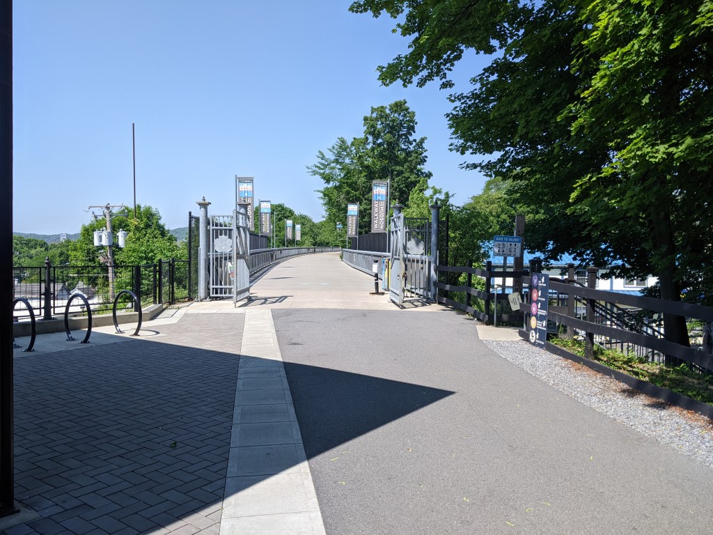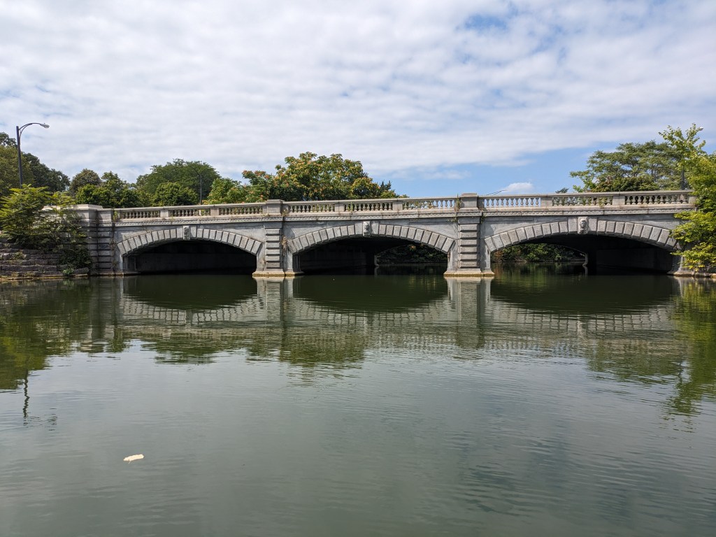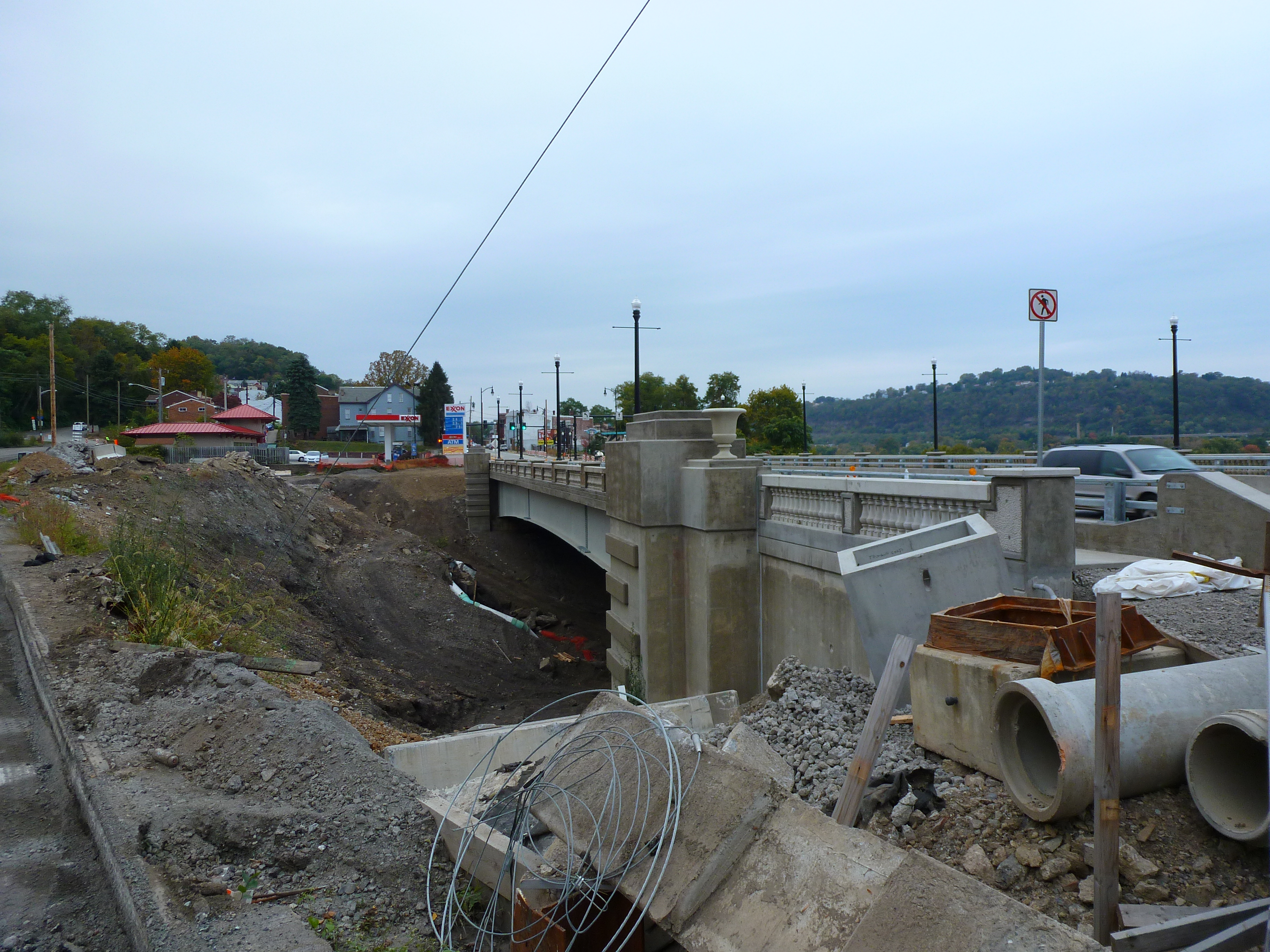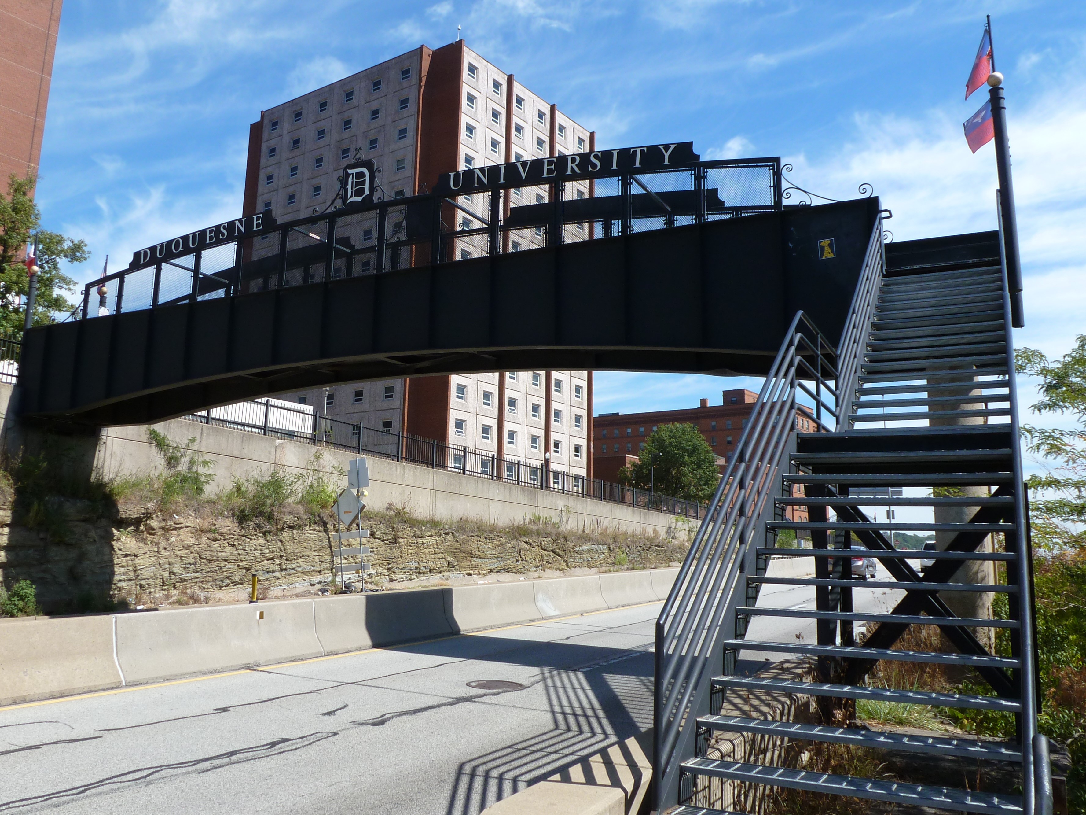
I don’t remember how I first heard about the Walkway Over the Hudson, but it was several years before I developed the habit of walking bridges. Even at that time it sounded like a cool place to check out. Once I became a bridge-walker, it became a must-experience site. Over a decade later, I finally walked the Walkway Over the Hudson.
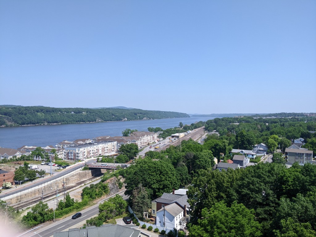
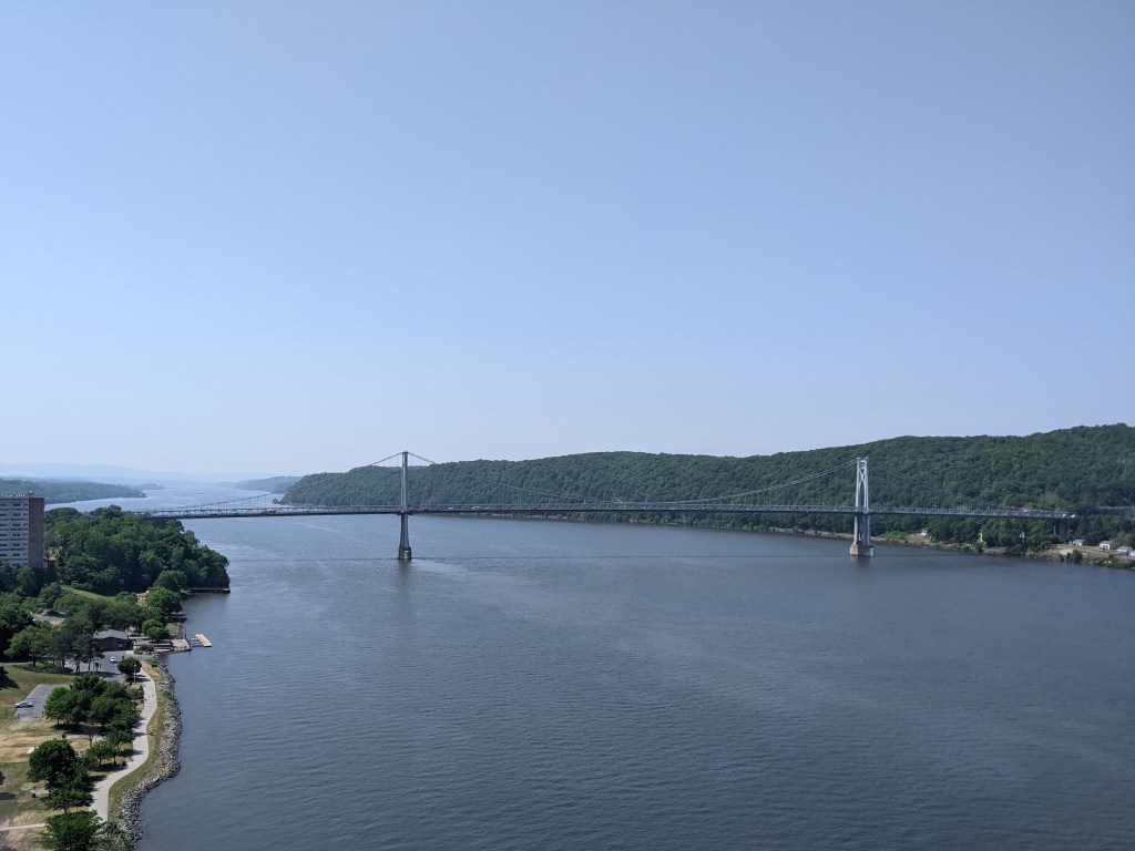
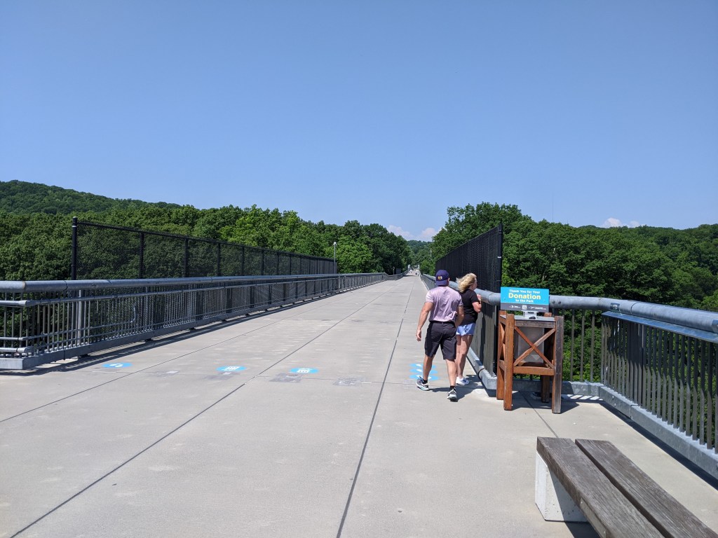
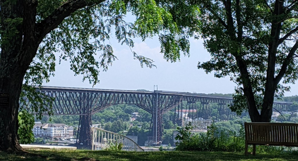
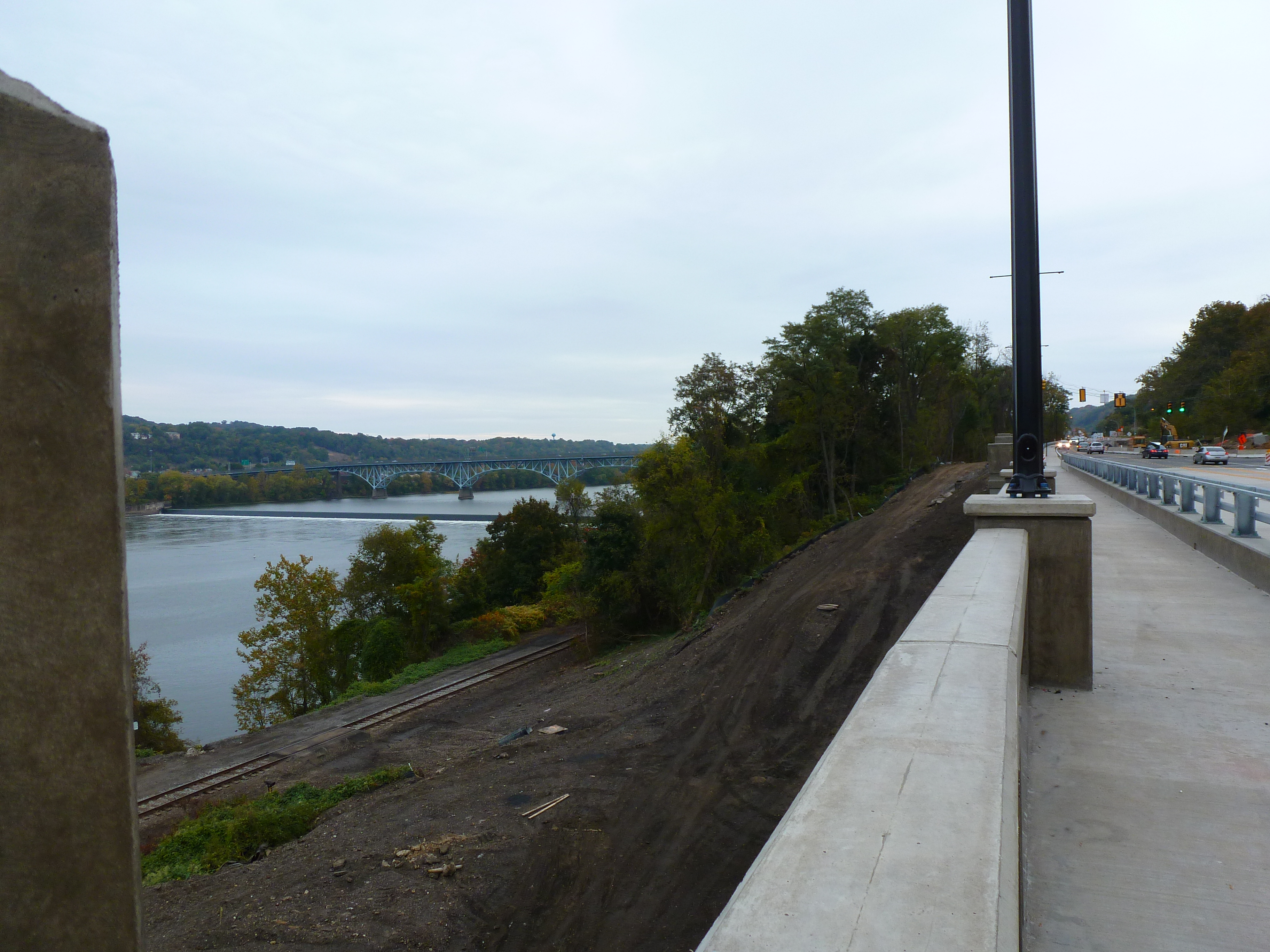
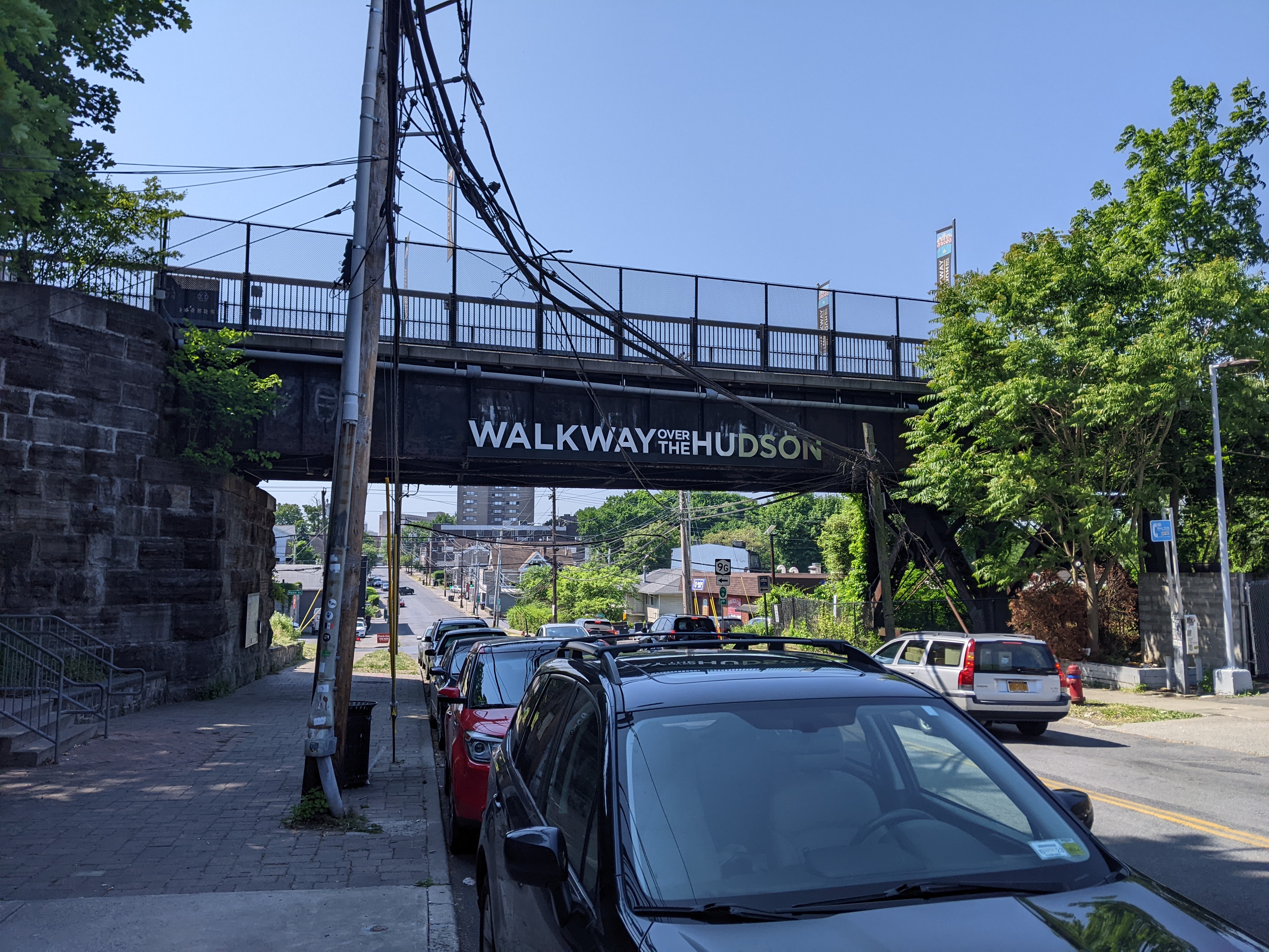
The Walkway Over the Hudson crosses the Hudson River at Poughkeepsie, NY. It opened in 1889 as a railroad bridge. It closed in 1974 after being damaged by fire and reopened as a renovated pedestrian bridge in 2009. It is both a National Historic Civil Engineering Landmark and on the National Register of Historic Places. At 1.28 miles it claims to be the longest pedestrian bridge in the world.
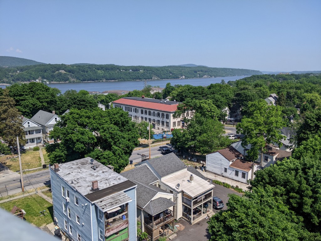
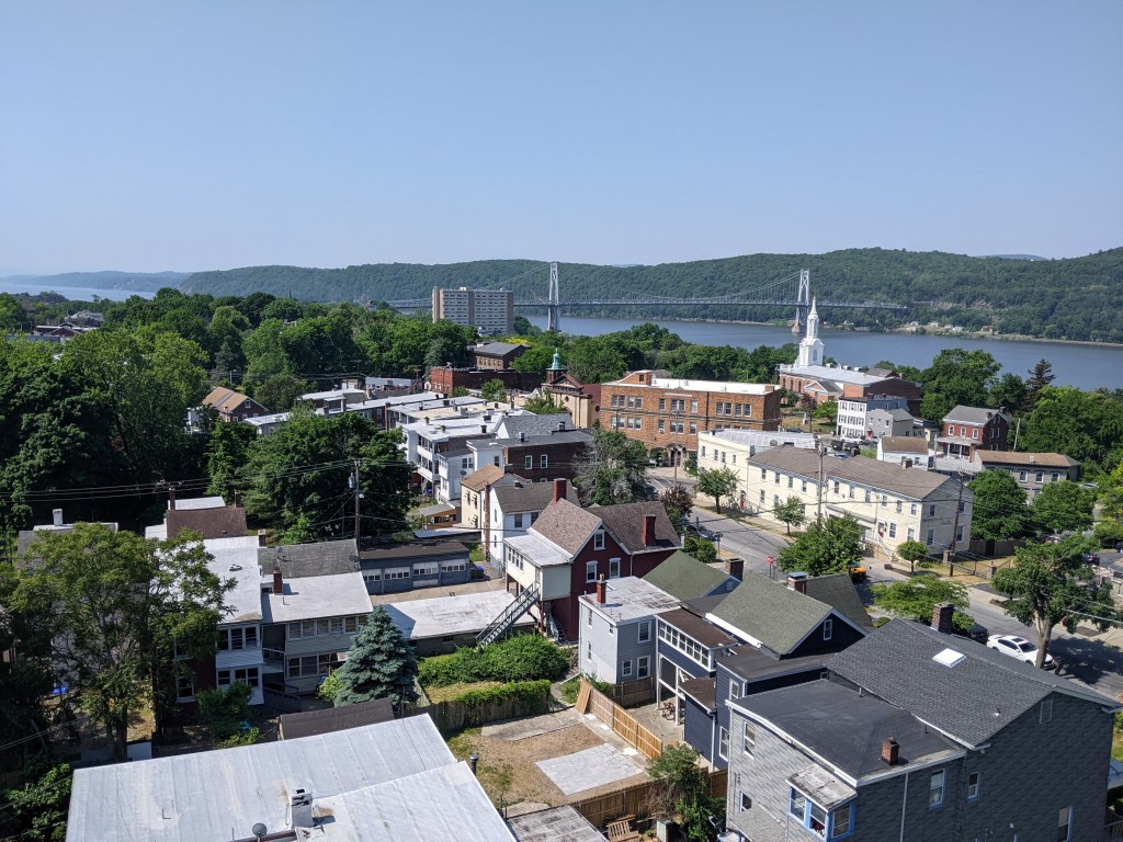
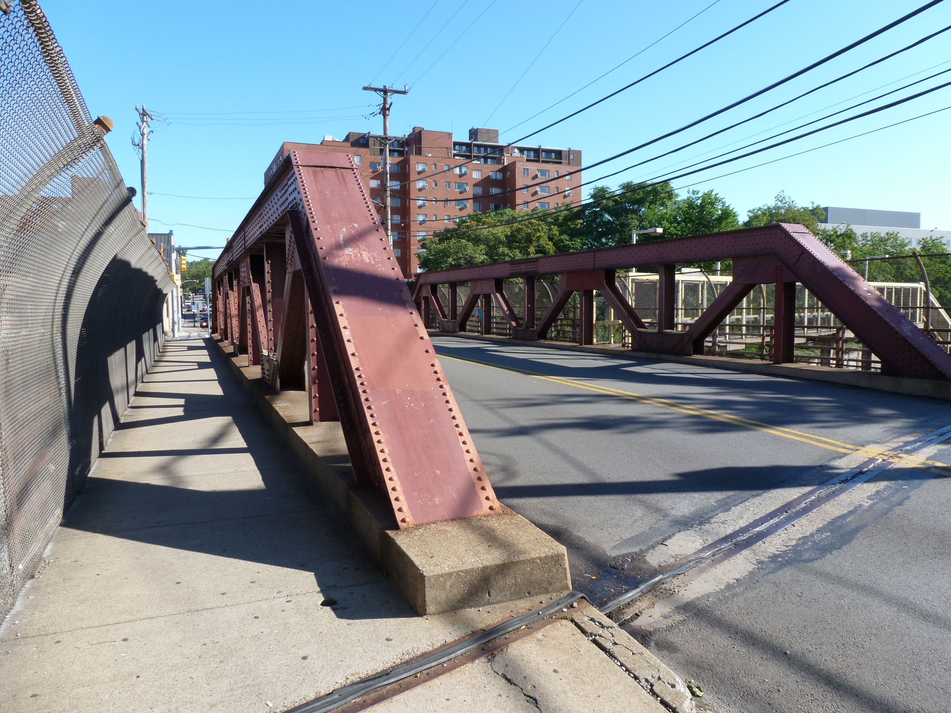
It is also 212 feet above ground or river level. In discussing my experience of climbing to the top of St. Paul’s Cathedral in London, I glossed over the fact that I almost didn’t reach the top due to my discomfort with heights and instead focused on the fact that claustrophobia almost prevented me from coming back down. Proportions and railing heights have a significant impact on whether I can manage heights. The Whispering Walk inside the base of the dome in St. Paul’s was too narrow and enclosed for me to handle the height above the floor (98 feet). The Walkway Over the Hudson, on the other hand, was quite wide having once carried two railroad tracks side-by-side. And so despite being more than twice as high up as the Whispering Walk, I did not experience much trouble with the height. I was more concerned about the possibility of the wind tearing my phone/camera out of my hand and over the edge.
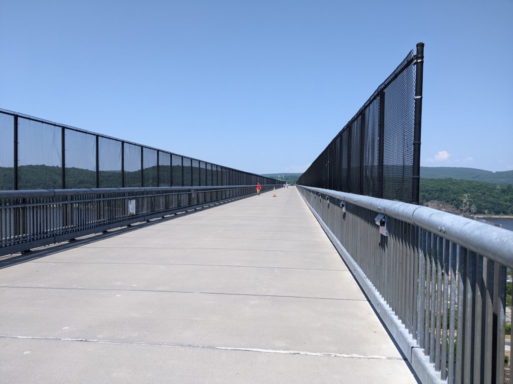
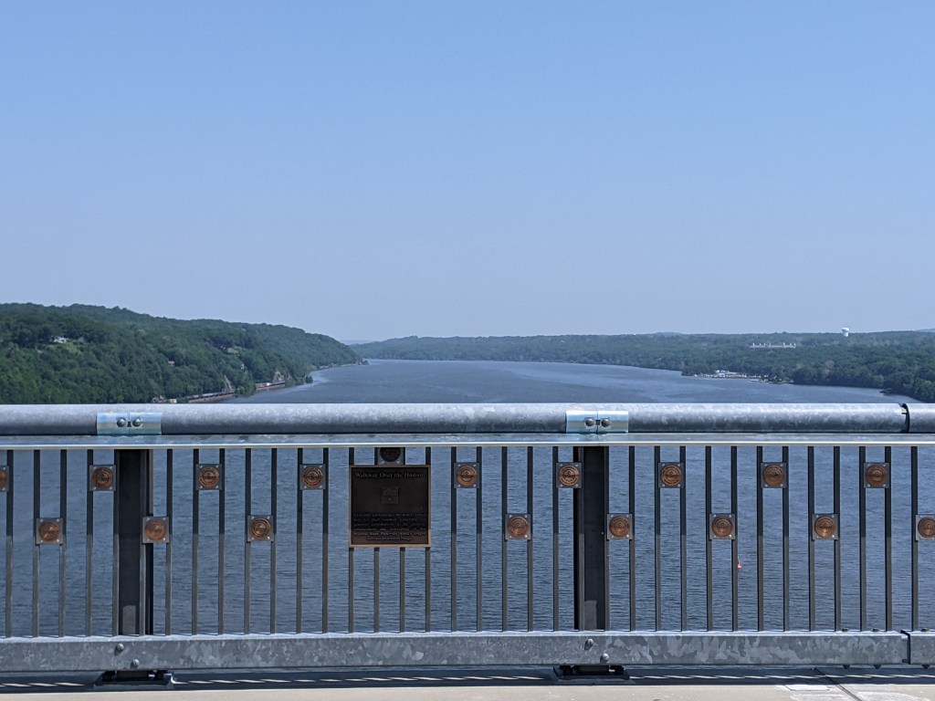
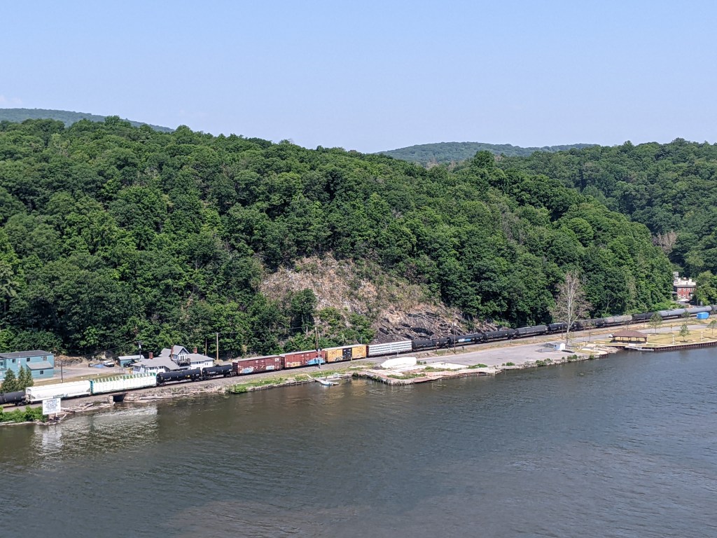
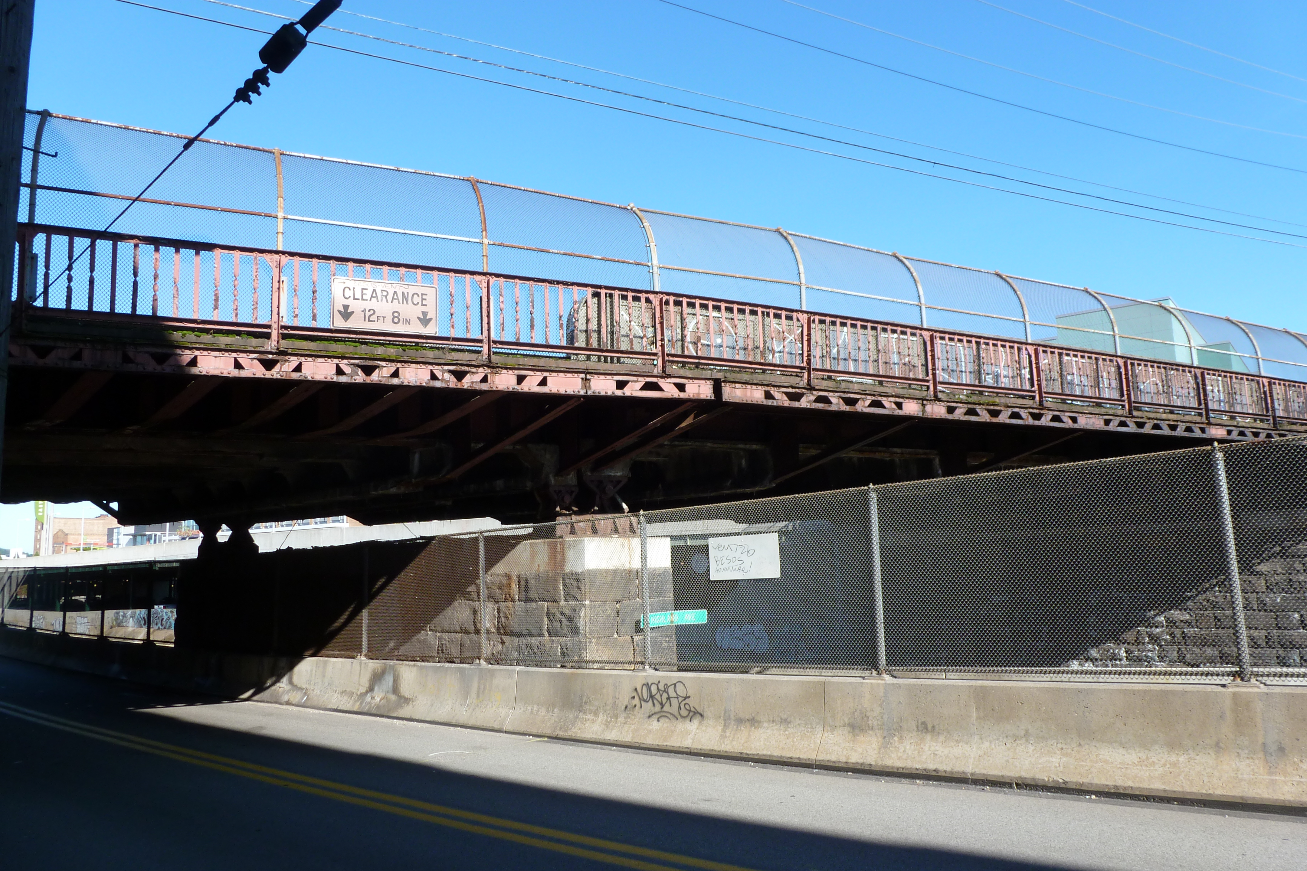
Despite the potential damage that objects falling off the side of the bridge could cause, extra high barriers to prevent that are only located over the railroad tracks. As I’ve discussed in previous posts, some bridges have extra fencing only along portions of their walkways, typically over railroads and sometimes over automobile roads. The extra fencing on the Walkway Over the Hudson is from a time after it was common to curve the top, creating a cage-like feel, but before the need for extra height was incorporated into the design of the bridge itself.
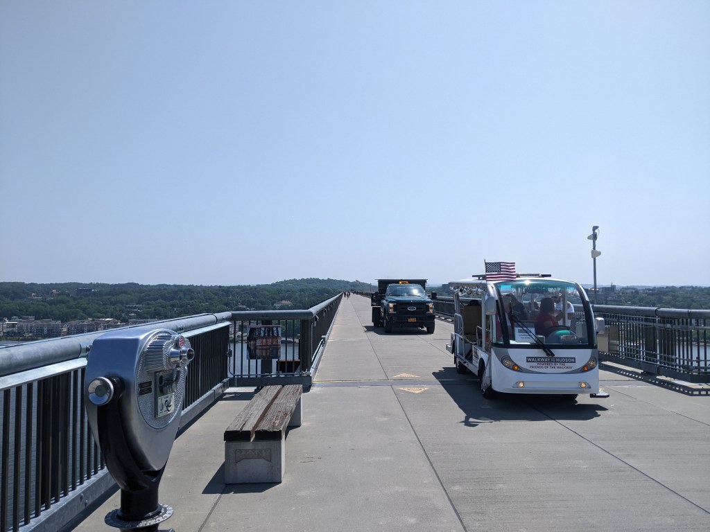
There is no shade on a deck-truss bridge 212 feet off the ground. On a hot, July day, you feel the full force of the sun when taking such an exposed 1.28 mile walk starting at 11:30. If I hadn’t discovered that there was another bridge that I could walk across, I probably would have opted to take the shuttle back.