The Olympic Village

Adrenaline is a powerful force. When I arrived in Vancouver in 2016, I bounded with energy despite only having slept 4 hours in the previous 36. After dropping my stuff off at my lodgings, I rented a bike and rode like a woman on a mission along the waterfront trail. Part of that mission was to burn off the adrenaline so that I would be able to sleep that night.

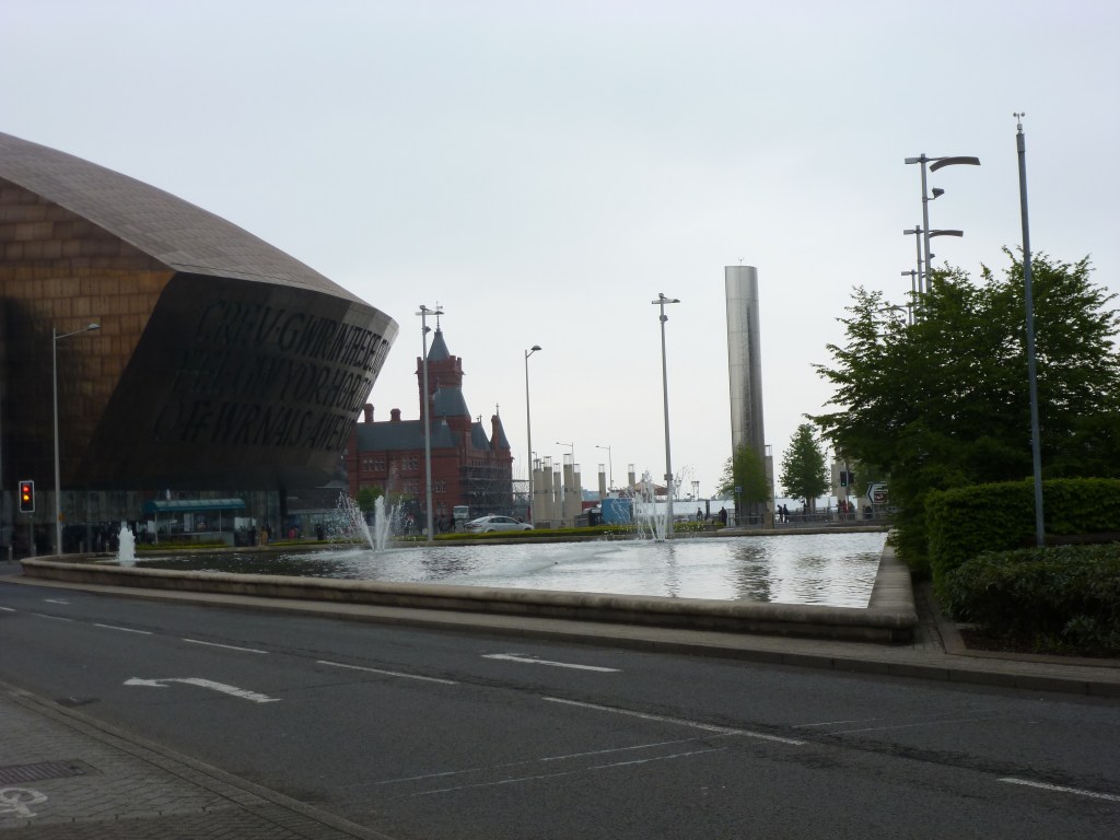
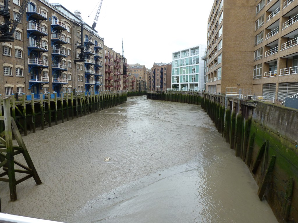
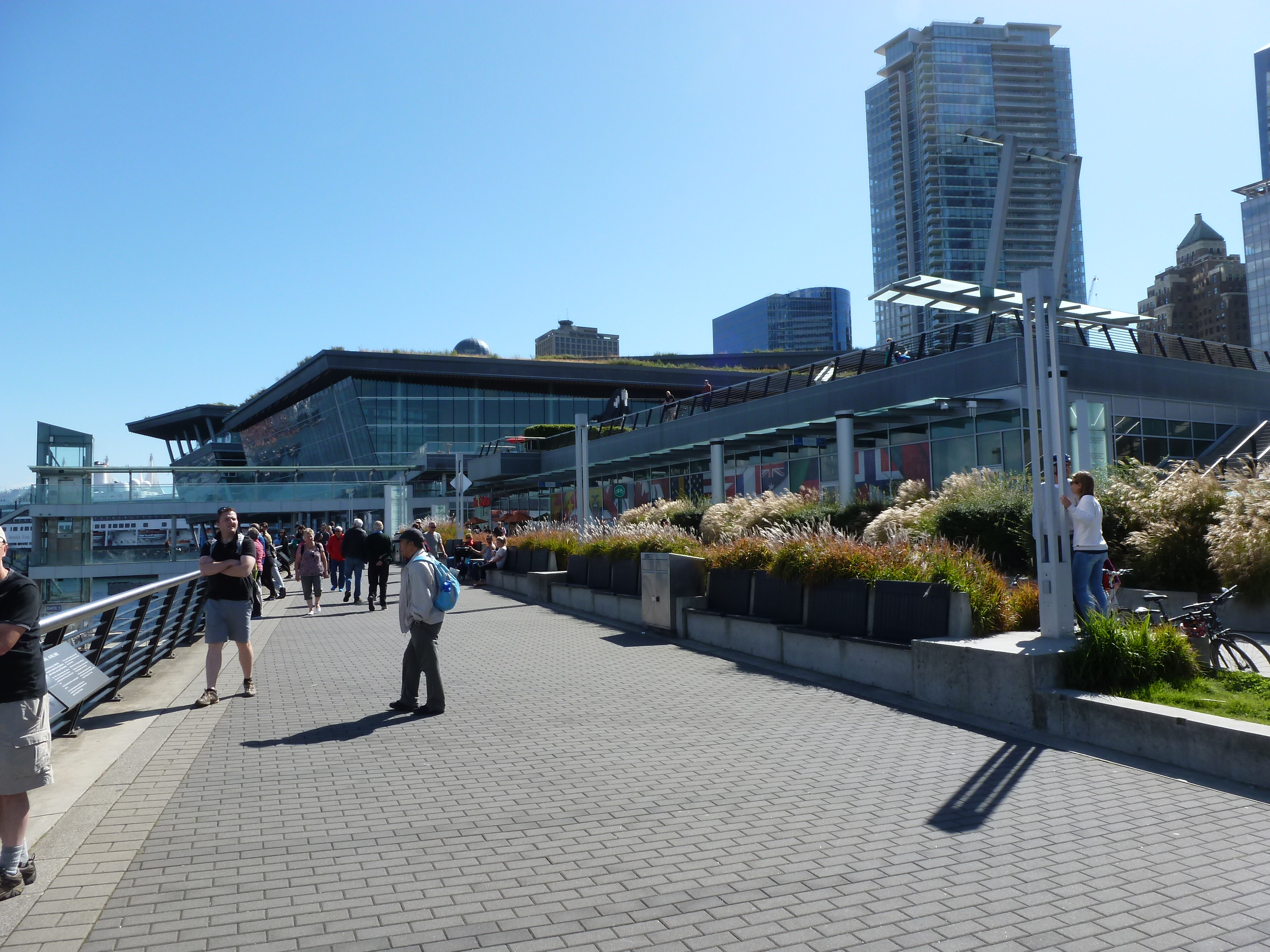
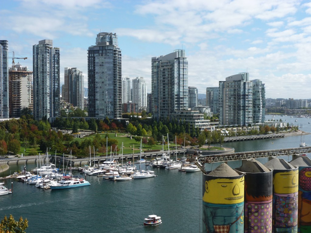
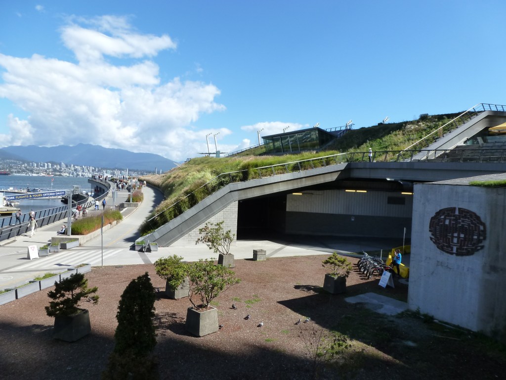
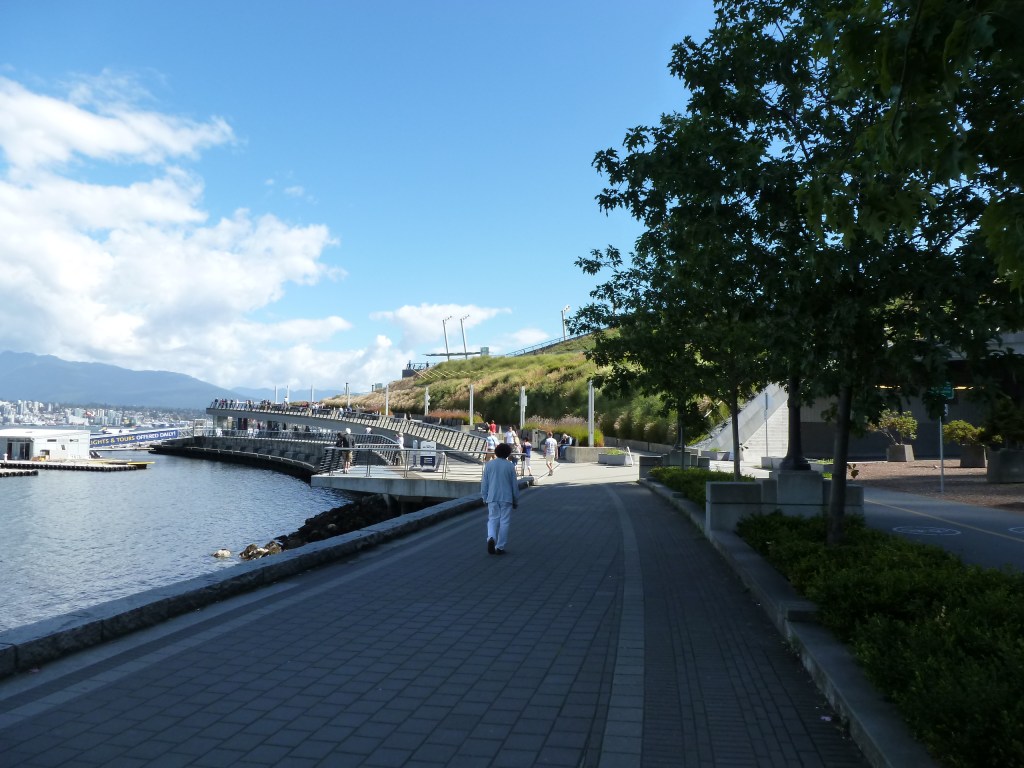
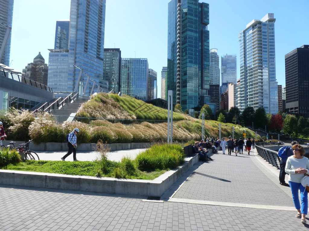
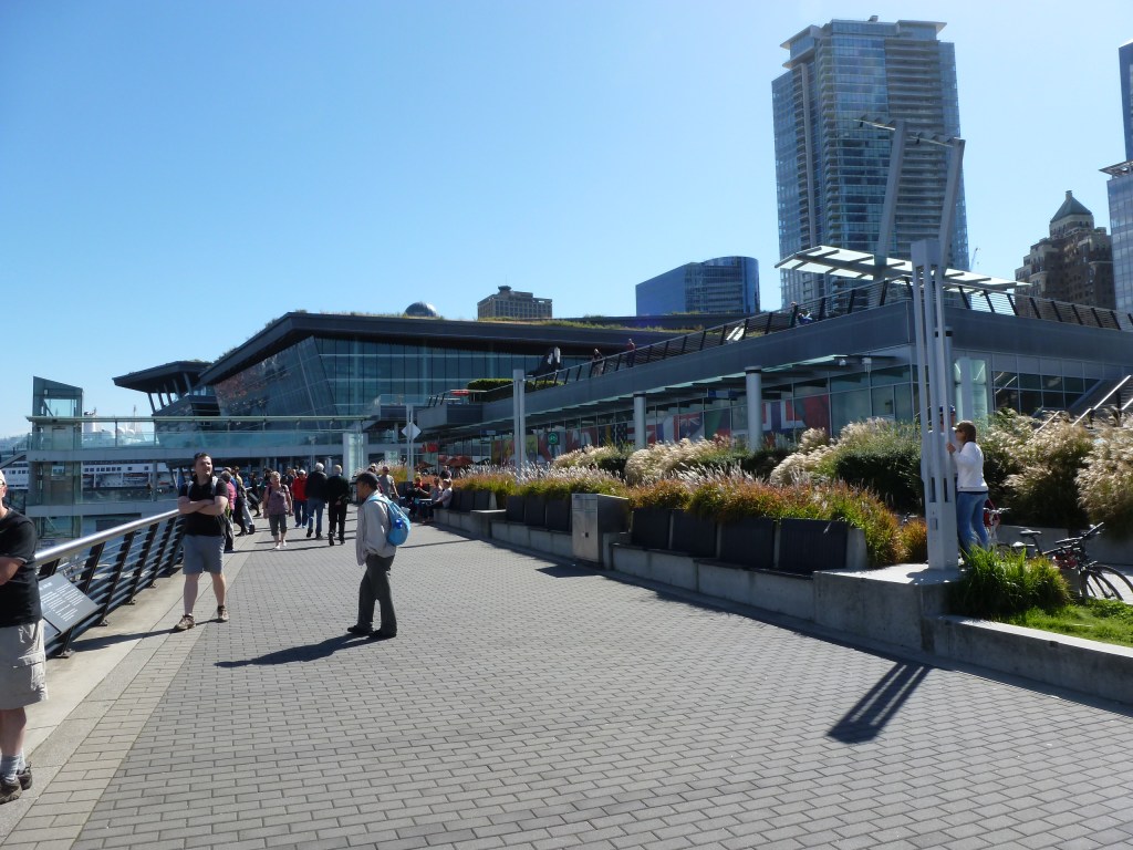
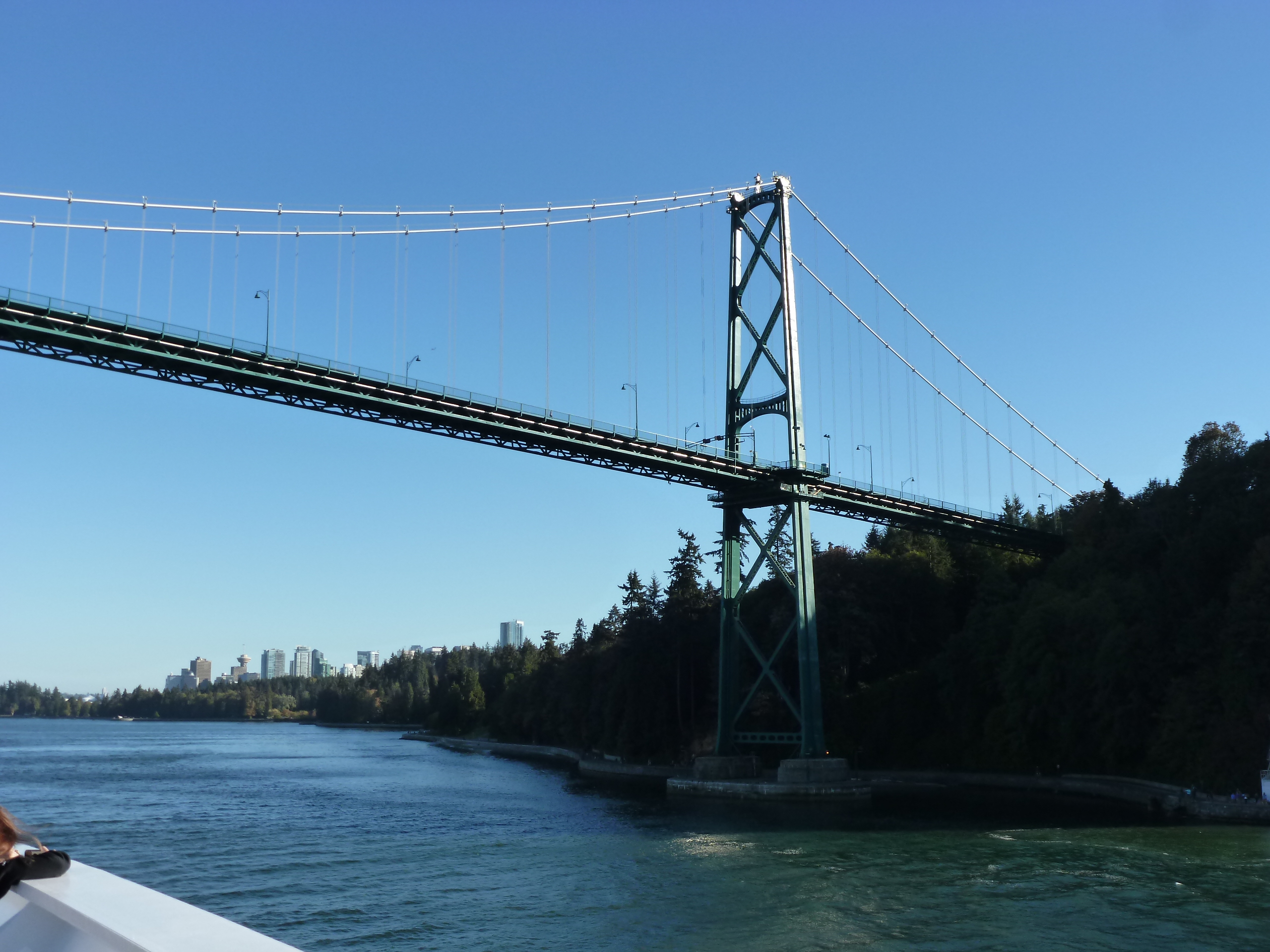
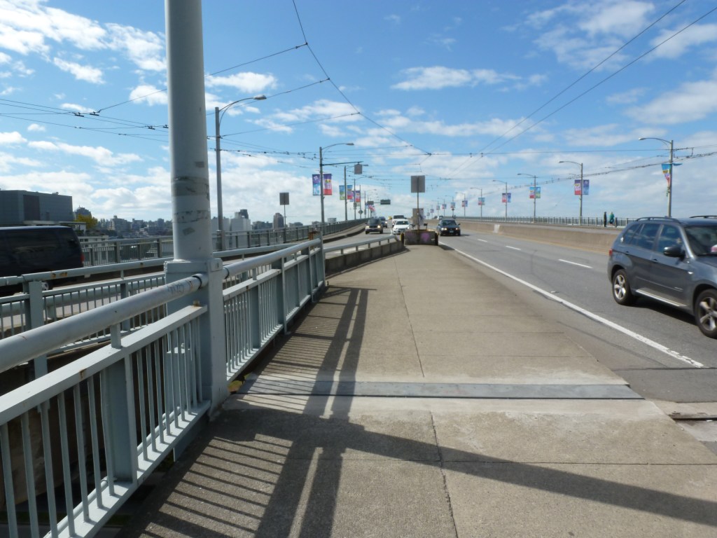
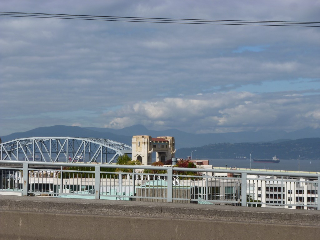
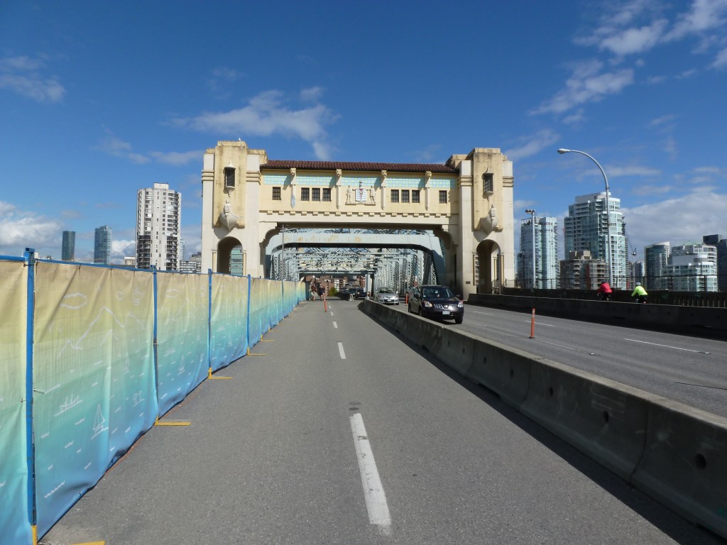
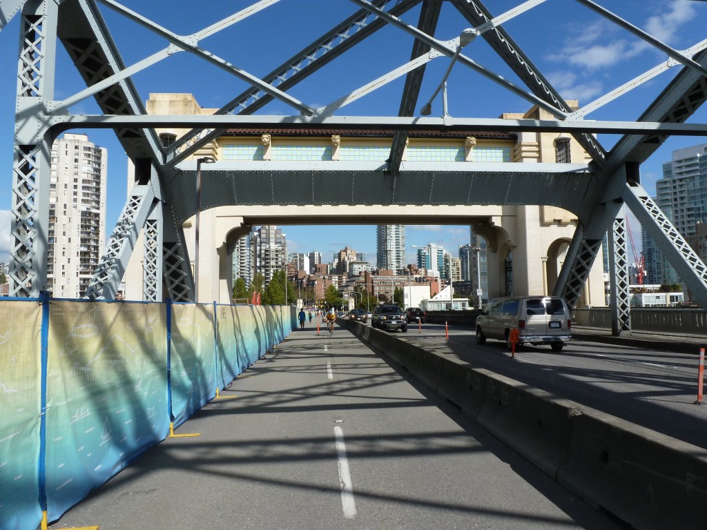
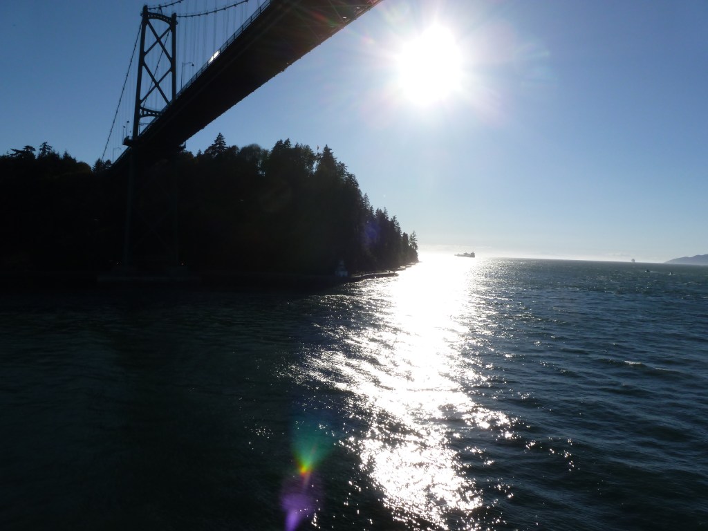
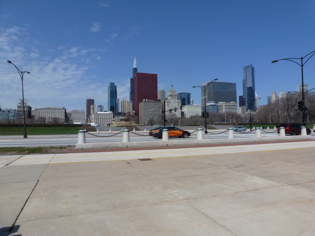
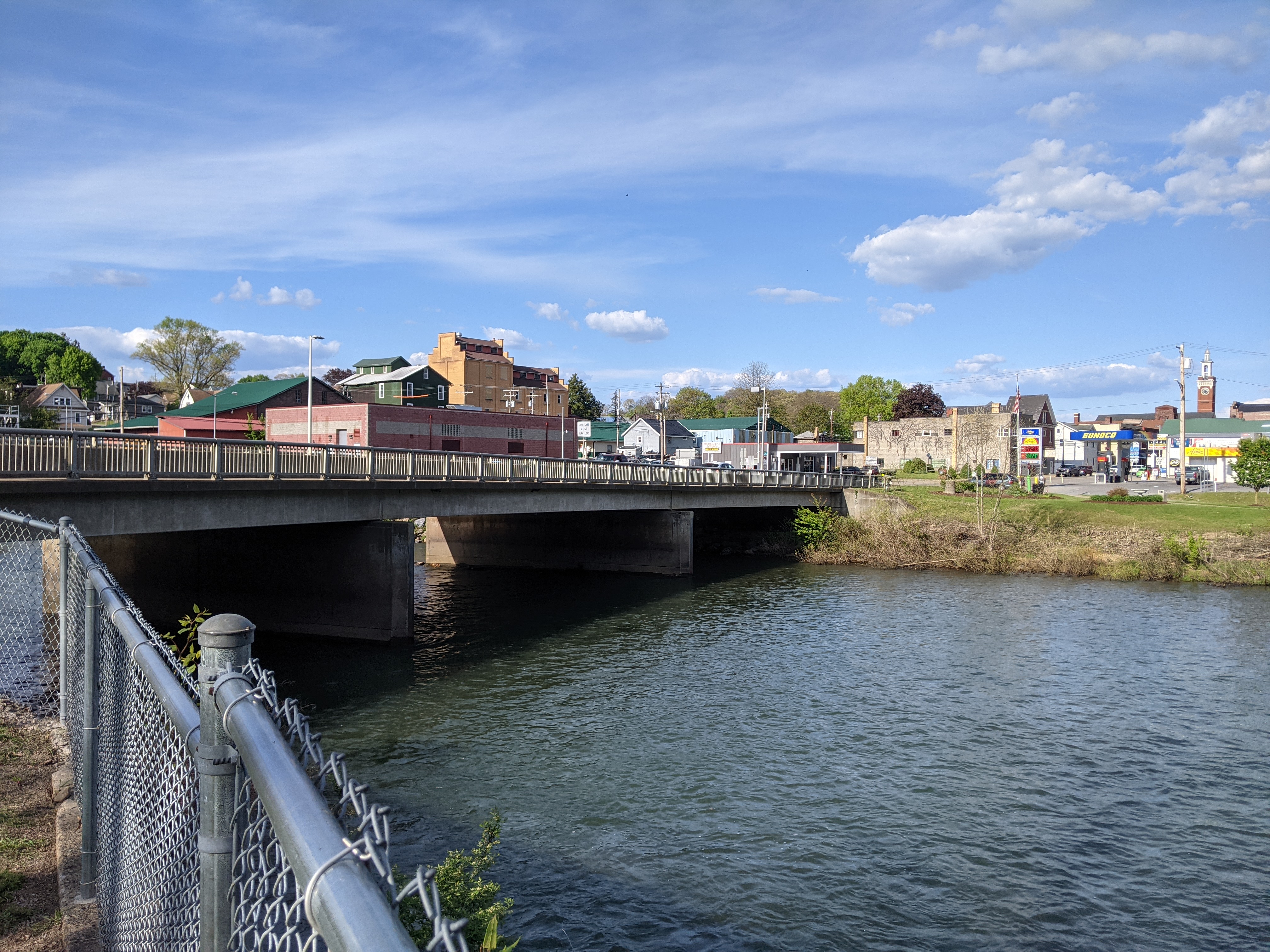
However, revisiting my photos and my recollections of this trip to write about the bridges and greenery, I’ve been haunted by the thought that there was an additional mission to that bike ride. I distinctly remember biking the trail along False Creek, but I have no photos from this excursion (the photo above is False Creek from Granville Bridge, nowhere near Olympic Village). Perhaps I was too focused on my mission? One line from my travel journal buried in a flurry of thoughts on urban design reminded me that the destination of that bike ride was the Olympic Village from when Vancouver hosted the 2010 Olympics.

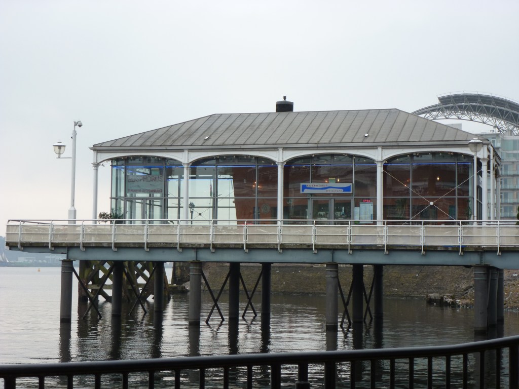
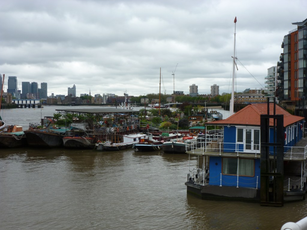
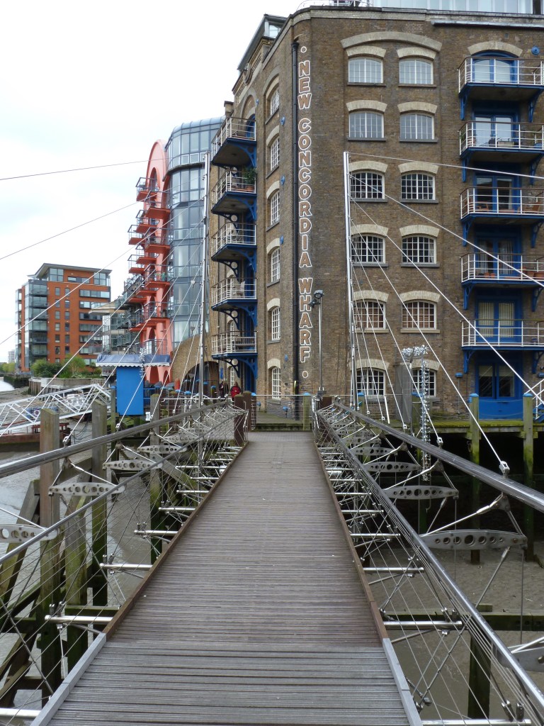
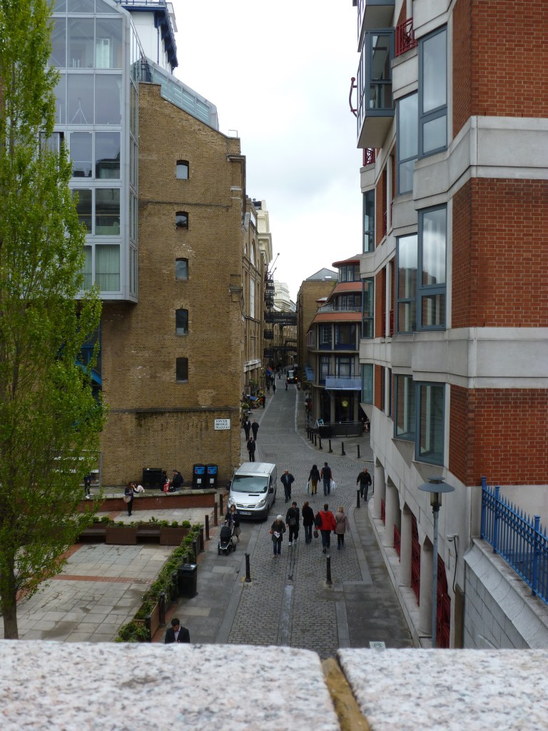
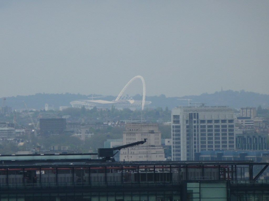
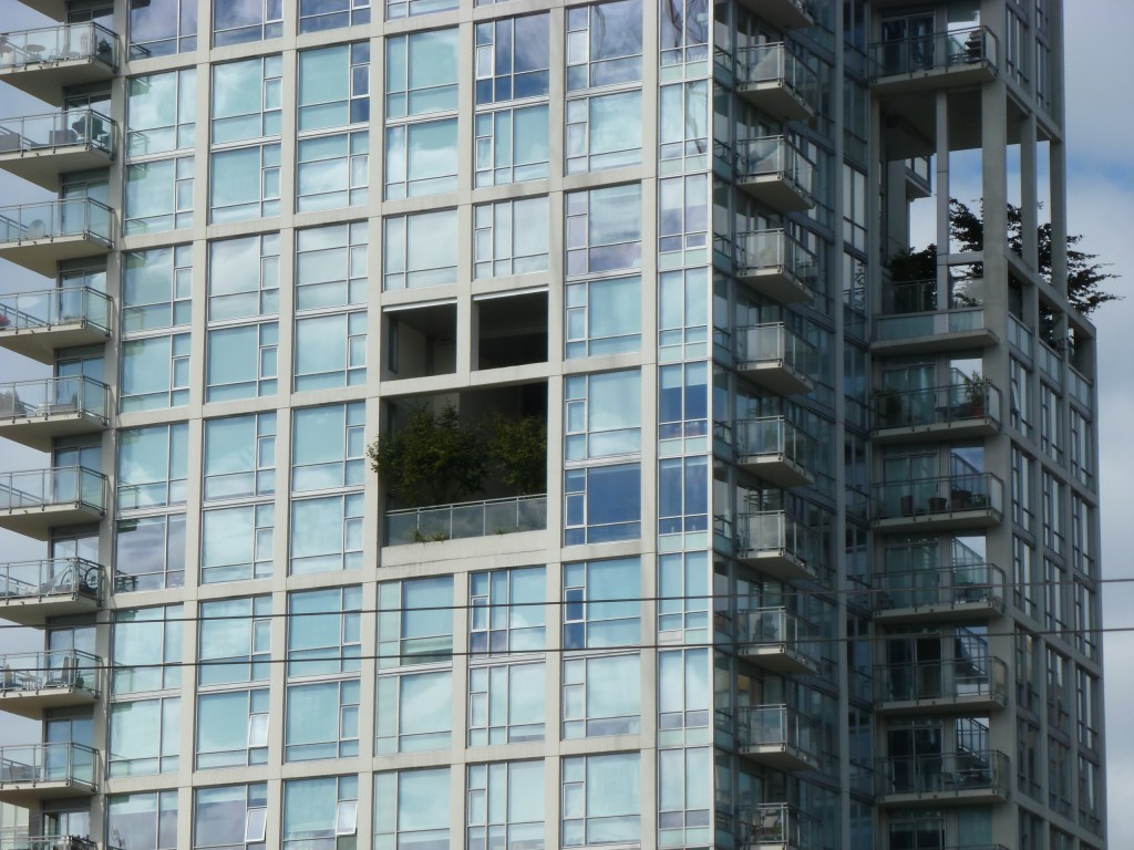
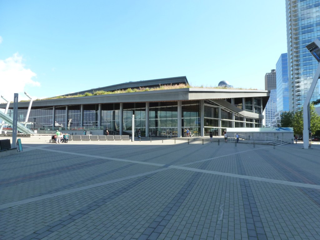
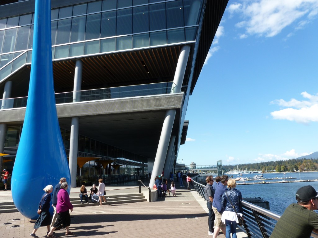
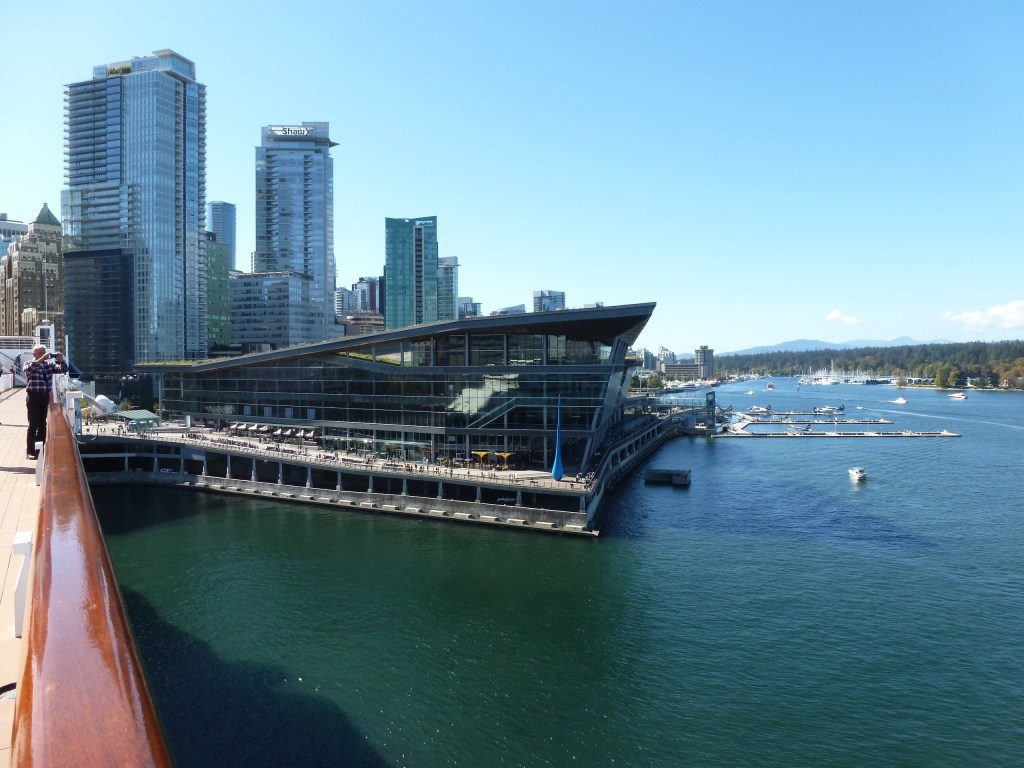
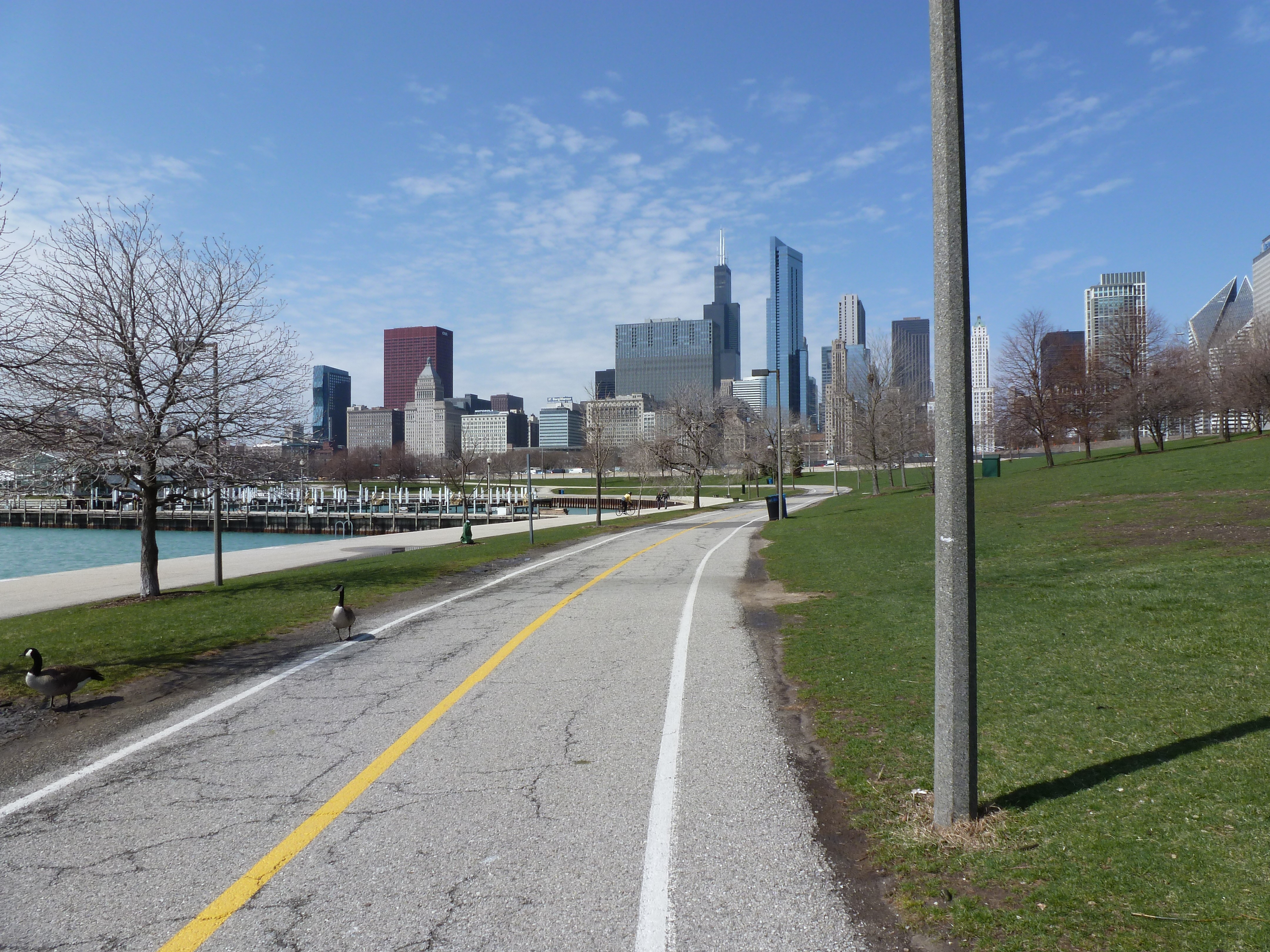
In my journal reflecting on the city’ newer architecture that could have been anywhere, I wrote: “In biking along the coastal trail, there were several parts that I felt could have been Cardiff or London. For instance, the part around Yaletown felt like the Cardiff Wharf development, though this one melded into its surroundings on all sides unlike Cardiff’s which was just plopped there. The area around Olympic Village and parts also around Yaletown felt a lot like the part of London past the Tower Bridge on the southern shore.” (Photos of the area around Tower Bridge are below and, of course, the building that I remember as being what I probably was thinking of in Vancouver is not one I photographed.)

My interest in the Olympic Village came from the same place as my on-going interest in World Fairs and Urban Renewal. These are large-scale developments that cities pursue “for the greater good” to attract tourists and others outside their boundaries while ignoring or actively harming their residents. Despite the intent, the end result is often more harm than good. For example, the Olympics and World Fairs are typically promoted as events that will bring in extensive revenues to the city, but most lose money due to the large expenditures required to build the necessary facilities. A successful Fair or Olympics is the one that breaks even.

In my Comparative International Urbanism course in college, I wrote a paper on three large-scale redevelopments in London, including the Olympic Village from the 2012 summer games. I intended to visit the Olympic Village when I visited London that May, but I got distracted by bridge walking. The research I did for that paper on Olympic Villages highlighted the inequities inflicted on residents in the construction of these developments. Based on my paper, over 200 local businesses and nearly 1,000 residents were evicted for London’s Olympic Village.

While I can’t find my notes, I seem to recollect that researchers featured Vancouver as the city whose Olympic Village created the least harm for existing residents and most seamlessly integrated into city life after the games and athletes left. Something I definitely would have wanted to see while in Vancouver, but I was operating on too little sleep to take photos to prove I was there.

Cardiff Bay Wharf Development

London Tower Bridge Southern Shore

London Olympics

A Vibrant, Green City

In Vancouver, greenery sprouts up everywhere despite its density. There are green parks, green roofs, green balconies, and even green bikes. The Vancouver Convention Center with its tiers of green roofs inspired me to design an Architectural Dessert Masterpiece of it. Unfortunately, my health challenges in the following months prevented me from executing it and I have since forgotten the plans.

I spent much time exploring the engaging architecture of the Vancouver Convention Center and comparing it to the stand-offish convention center in Pittsburgh. Both convention centers pay homage to the natural environment of their respective cities. Vancouver’s mimics the mountains across the inlet with its sloping green roofs. The roof of Pittsburgh’s convention center mimics the curves of the suspension cables on the Three Sisters Bridges and intended to have a waterfall cascading down its curve and into the river, but this ended up being infeasible. Both convention centers provide popular connections to the waterfront trails, but Vancouver’s Convention Center invites people to engage with the building while Pittsburgh’s repulses. Both have outward facing tenant spaces. Vancouver’s is filled with popular bars and restaurants. Pittsburgh’s has a underutilized Jimmy John’s. Vancouver’s architecture creates an inviting and human-scale design while Pittsburgh’s oversized blank walls are oppressive.

And if that list of contrasts isn’t enough to convince you of my opinions of Vancouver’s and Pittsburgh’s convention centers, in the thousands of photos I’ve taken in Pittsburgh, none are specifically of the convention center. I took numerous photos of the Vancouver Convention Center because it was interesting and because I intended to recreate it in desserts. However, I only have photos of Pittsburgh’s Convention Center as a building that happens to be next to a bridge or that is noticeable from bird’s eye views of the city.

Vancouver’s Greenery

Vancouver’s Convention Center

Pittsburgh’s Convention Center

Vancouver Bridges

I can’t believe I never posted anything about my 2016 Alaskan cruise trip. It was one of my top 3 monumental trips, up there with my first train trip to Colorado (8th birthday) and my first international trip touring England and Wales (14th birthday). By the time I was 10, I decided that I would take an Alaskan cruise for my 30th birthday. By my mid-20s, I realized that wasn’t going to happen, but then when I was 29, my friend and her family were planning their annual cruise and picked Alaska. I asked to join them and a few weeks after my birthday celebrated my 30th while cruising in Alaska.

The trip was amazing. I gathered enough materials and felt excited enough about what I saw and experienced to be energized to share the trip with my readers. However, as soon as I got home from the cruise, life overwhelmed me. The months after the cruise were when I first learned to hate my job, I was house hunting, and my appendix burst. This plethora of life distractions prevented me from blogging.

Now, however, I have an opportunity to catch up on the trips and traipses that I intended to blog about but never did. I’ve had Long COVID since November 2023, which has reduce my ability to do new urban traipsing, but on days when I’ve had energy and inspiration, I am revisiting former trips to share with you. Through the rest of this year and throughout 2025 (and maybe beyond), I’ll be sharing these retrospective reflections of my past travels.

My 2016 Alaskan cruise started in Vancouver and ended in Anchorage. I added a few nights on either end to allow me to explore those cities. Naturally, I found my way to bridges in Vancouver. At this point in time (8 years after the fact), I don’t remember which was the instigating factor, the bridges or the store. Whichever inspired me first, I took advantage of walking over the Granville Bridge to visit Hammered & Pickled on Granville Island and returning by way of Burrard Street Bridge. I chose Hammered & Pickled for my destination to satisfy my curiosity on what kind of pickled they covered: pickled vegetables, pickled metal, or pickled people. It turned out it was a silversmith selling handcrafted jewelry.

Oddly, from my walks across the Granville and Burrard Street Bridges to and from Hammered & Pickled, I took more photos of the less structurally interesting bridge. This may have been the impact of being tired and dehydrated on the return or of the construction on the Burrard Street Bridge. However, the bridge that I took the most photos of in Vancouver was one I didn’t walk: the Lions Gate Bridge. I biked the waterfront trail underneath this bridge, rode over it by bus on the way to Grouse Mountain, and later passed under the bridge as the cruise ship left the Vancouver harbor.

Granville and Burrard Street Bridges

Lions Gate Bridge

Chicago Waterfront III

I’ve had multiple aborted experiences in Chicago. In 2013, I aborted an attempt to bike to the 1893 World’s Fair site. In 2019, I aborted an attempt to reach the waterfront. But during the eventually aborted bike ride, I experienced several miles of interesting waterfront. I don’t recall how I got to and from the waterfront for the bike ride as Chicago has the classic US urban problem of using highways to divide the waterfront from the rest of city. Once I was on the waterside, I enjoyed a variety of natural, architectural, and sculptural sights. I even unknowingly captured the remaining buildings from Chicago’s other World’s Fair (post pending).

Harrisburg Ducks

Harrisburg is really into public art. I’ve mentioned before that they are a city that turns everyday objects into works of art. I’ve shared my reflections on a sculpture that fascinated me. I’ve also shared posts of the remaining pieces from their Cow Parade. On a recent trip to the city, I went searching for more cows based on the sightings someone posted from 2019. In the process, I stumbled across ducks! I found 3 of the 15 ducks that popped up in Harrisburg in 2019. (I also received confirmation that the stray dinosaur I found on a previous trip to the city was from their version of Dino-Mite Days that happened in 2018.) Below are the ducks I found on this trip. I’ll share the “new” cows that I encountered in future posts.

Rutland’s Bridge

While wandering around Rutland, Vermont’s third largest city coming in at around 16,000 residents, I found a bridge. Naturally, I walked across it. The bridge connects the worker housing on the flats to the cultural/civic center on the slope beyond which are the wealthier residences. In addition to overcoming the obstacle of the elevation change, the bridge spans the remnants of the formerly extensive rail yard much of which has been converted to a shopping center.

There was also a railroad bridge near the other end of the shopping center. By the time I found this bridge I was hungry, overcome by the humidity, and over a mile from where I was staying. A little farther on were some creeks that probably have bridges over them. I’ll have to look for those the next time I’m in town.

Rutland’s Public Art

Rutland is a small town in Vermont of just over 15,000 residents incorporated in 1892. At one point, it was a major railroad hub for local marble quarries. Its past and present is clearly reflected in its public art.

Instead of the fiberglass sculptures I stumble upon in many cities, in Rutland, I discovered a series of marble sculptures featuring important people from Rutland. The people honored in the sculptures I found are Paul Harris, founder of the first Rotary club; Andrea Mead Lawrence, an Olympic skier; William G. Wilson, co-founder of Alcoholics Anonymous; the immigrants who worked in the quarries; and Martin Henry Freeman, an African American educator and abolitionist.

Today, Rutland has a strong environmental and arts focus. In my wanderings, I discovered two sculptures from the Trash2Art series, one from the HeART of Rutland series, and several murals. The mural of whales was particularly eye-catching given that the ocean is hours away. I wondered about the choice of subject until I saw the closest cross street was called Wales Street. The moose just up the street were almost as elusive as real moose – despite multiple trips to Vermont and one to Alaska, I have yet to see a live moose.

New Bethlehem Memorial Bridge

The New Bethlehem, PA, Memorial Bridge holds a special place in my heart. After going through the woods for hours on the way to grandmother’s house, New Bethlehem was a landmark that we were getting close. A few more wooded hills and a few more river crossings and we’d be there.

I wonder if in addition to the answer to “are we there yet?” changing from “no” to “almost,” I also enjoyed the intimacy of New Bethlehem after hours on the impersonal and distant freeway. In the previous five hours of diving, we crossed many bridges over many waterways including both the eastern and western branches of the Susquehanna River. But what little I remember of the bridges on Rt 80, they are distant from the water and between the speed and concrete barriers, there is not much to see. At New Bethlehem, the water is right there, almost within reach. Plus there’s a mini waterfall to enjoy.

In my new habit of taking “Sunday drives” (though usually on Saturday), I recently wended my way through the hills to drive across this bridge again for the first time since I was 12 (and first time across as the driver). Of course, I stopped the car to be able to get out and walk across. There is a nice riverfront park on the eastern side, which is either “new” or just not as noticeable when driving.

Chicago Waterfront II

After my disappointment in trying to reach the lakefront at Grant Park, I had given up on reaching the shore on that trip. The weather had been perfect (being August instead of April), but it seemed I was fated to not wade in the lake.

However, after exploring the former site of the 1893 Chicago World’s Fair in Jackson Park, I was making my way to a bus stop to return to my hotel and found myself on a path to the 63rd Street Beach. Lake Shore Drive still continued along the lake’s shore, but it was not an obstacle here as it bridged over the pedestrian trail.

While mounting frustration had turned me back from the lake in Grant Park, the ease of following Jackson Park’s meandering trail turned me away from my original goal to add a stop at the lake beach. The beach house suggested days of better maintenance and greater usage, but the beach and adjoining greenspace appeared to be a pleasant amenity for local traffic.* While tourists may have found their way there in 1893, I seemed to be the only one when I visited.

*My tendency to take photos of things rather than people presented a missed opportunity when picking photos for this post. There were several small groups of people on the beach and more carloads of people enjoying picnics on the other side of the beach house. Yet, none of the photos I took that day included any of these people.

Chicago Waterfront I

While exploring the Grant Park viaducts on my 2019 trip to Chicago, I discovered that they were connected to promenades leading to the lake. I decided to wend my way through Grant Park by strolling down one promenade to the lake and another back to Michigan Avenue and so on, weaving back and forth. It turns out that this is no longer an option.

On the 1920s map that inspired me to visit the viaducts, the only divider in Grant Park was the railroad tracks bridged by the viaducts. The rest of the park showed on the map as a vast open space where I assumed the promenades were designed for wealthy residents and visitors to take the air and see who else was in town (or perhaps that is just the influence of reading Jane Austen so much). While it didn’t matter to me who else was in town, strolling along the promenades seemed a nice way to take the air.

Whatever the original intent, today the promenades are chopped up by their modern antithesis – the multi-lane, high speed road. While there are several promenades spaced throughout the park, I only found one that had a protected pedestrian crossing over the many lanes of Columbus Drive. Clearly, this was the grand promenade. In addition to being the only one with a safe passage, past Columbus it featured an opulent water fountain.

Having already crossed a significant barrier, I assumed it would be a clear walk to the waterfront after that point. However, on the other side of the fountain, I found the even more formidable barrier of Lake Shore Drive, aka Route 41. All interest in continuing with my promenade evaporated even though the lights and crosswalks suggested the ability to cross safely. Instead, I spent some time admiring the fountain before returning to my hotel.

I was disappointed at discovering that the connection between the park and the lake was an optical illusion. Yet, it came as no surprise to find the lake front prioritized for cars. It is a recurring experience to find an urban waterfront cut off from the rest of the city by a major roadway barrier, or in this case two.