
Yesterday, as I was writing my post about the Wheeling Suspension Bridge by Roebling’s competitor, I was fascinated to discover that I never wrote a post about my walk across the Brooklyn Bridge. I decided to rectify the situation. The more I worked on it; the more fascinated I became. At this point, nearly 5 years after having walked it, all I can surmise is that I must have been very tired and/or hungry while crossing it.
In my post on the Manhattan Bridge, I mention how much more I liked that bridge than the Brooklyn Bridge. I can remember how much more thought provoking I found the Manhattan Bridge, but in looking back at my photos, I am shocked at how uninspiring I found the Brooklyn Bridge. I think it may hold the record for the fewest number of photos I’ve taken of any of the bridges I have walked. Especially, if we look at number of photos versus the length of the bridge. I suppose there may have been some other factors such as the construction zone on parts of the bridge.

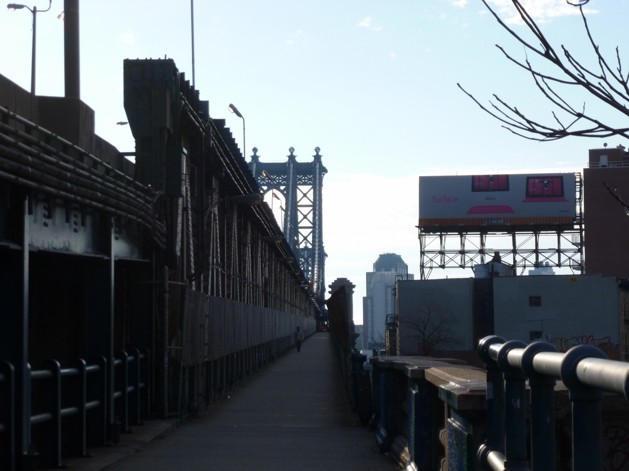
Another factor may have been the fact that the walkway is in the center of the bridge and above level of the traffic. While I remember this as a highlight and an intriguing part of the bridge, I also seem to recall that it may have caused interference with framing any potential photos.

I will take back some of my comments on the Wheeling Suspension Bridge. While both bridges do have a lot of structural parts holding them up, those of the Wheeling bridge were much more fascinating. This may in part have been because you were able to get up close with them.
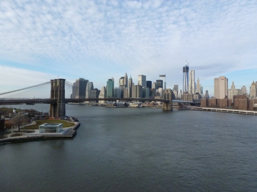
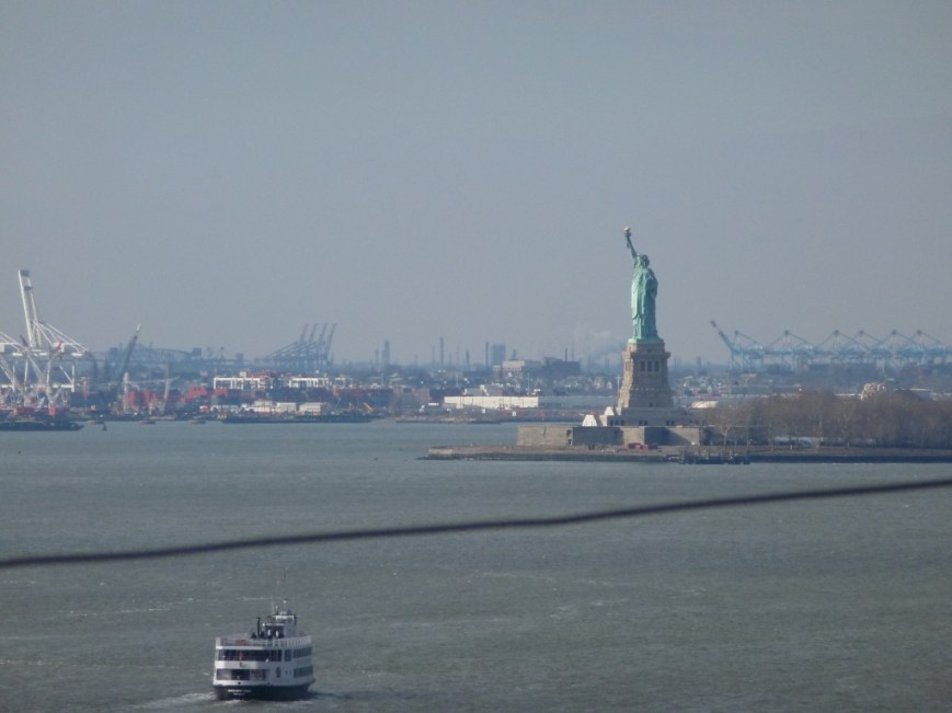
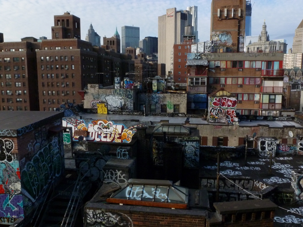
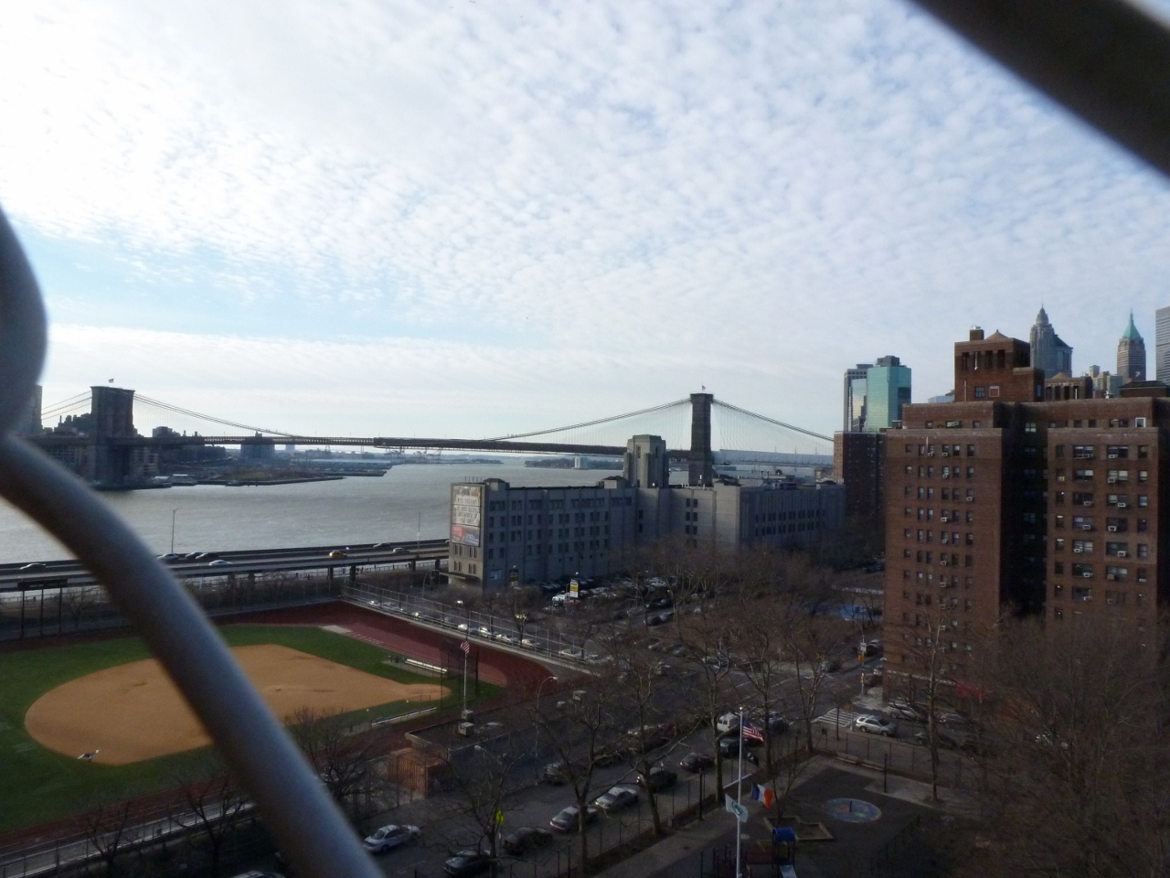
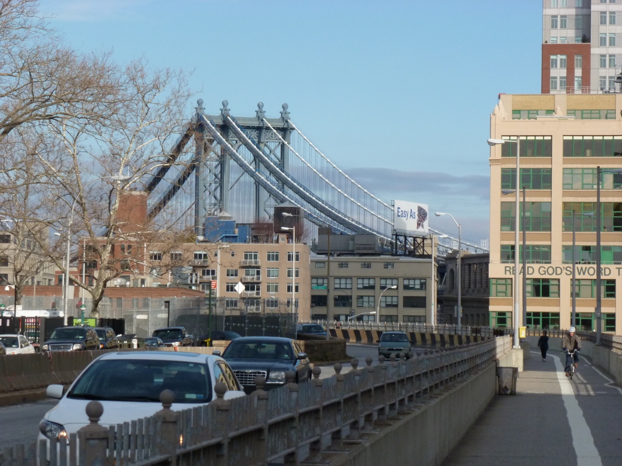
Below are the views of the surroundings. On one side you have the Manhattan Bridge and on the other the Statue of Liberty. That is just about the extent of the photos I took from the Brooklyn Bridge.

I feel that I ought to give this bridge a second chance. If/when I ever make it back to New York City, I think I will have to walk it again (maybe after a good meal). The problem here is that my last trip there in 2012 when I first walked the bridge confirmed for me that New York is really not the city for me and I have no plans to make a trip back anytime soon.


")

")


