A bridge collapsed in Pittsburgh this morning. While not an iconic bridge, the Forbes Avenue Bridge over Fern Hollow was significant as the sole road link over Frick Park. With this link missing, motorists and those using public transit will have to travel several miles out of their way through some very congested roads. Pedestrians and bicyclists have some shorter options using the park’s trails.
The bridge was built in the early 1970s and as far as I know has not had any significant maintenance work done since then. It is owned by the City of Pittsburgh. Based on the National Bridge Inventory by the Federal Highway Administration, the bridge was in “Poor” condition, had an inspection frequency of 18-24 (units were not included, hopefully this is months), the structural evaluation was “Minimally Tolerable,” the substructure was rated “Satisfactory” while the superstructure was rated “Poor,” average daily traffic was 10,000-15,000, and the detour route would add 2-5 miles. In addition, this site estimates the replacement cost at $6.5 million. I could not find the date of the last inspection on the NBI site. Based on a summary of inspections on BridgeReports.com, which sites the NBI as its source, the bridge was inspected every two years between 1991 and 2017, so presumably there were additional inspections in 2019 and 2021.
There was a bus and some other vehicles on the bridge when it collapsed. The two passengers on the bus were taken to a hospital with “minor injuries” as was a third person. Seven other people are reported to have “minor injuries” that did not require a hospital visit. The City’s first official press release on this disaster says that rescue efforts concluded at 8:30am, but that underneath the bridge was still being checked for potential victims – some of the park’s well-used trails pass underneath. WTAE has videos from the scene; the Tribune Review has quotes from nearby residents on what they heard and saw this morning. This story has also made national news with coverage by on the US News and World Report website.
The coincidences: President Biden is scheduled to speak in Pittsburgh today about infrastructure, including bridge maintenance, the overnight snow may have limited vehicular and foot traffic over and under the bridge, and I just happened to be somewhere where the news was on this morning in time to see the first news report on WTAE (I never watch or read the daily news).
Mayor Gainey is quoted as saying “we were fortunate.” The people using the bridge were unfortunate that the bridge collapsed when it did, but given that it did collapse, they were fortunate in that it appears there are no serious injuries and no deaths. It was also fortunate that the collapse happened before rush hour and on a bridge that was over land. If this was one of our river bridges or if it happened during rush hour, serious injury and death seem impossible to avoid.
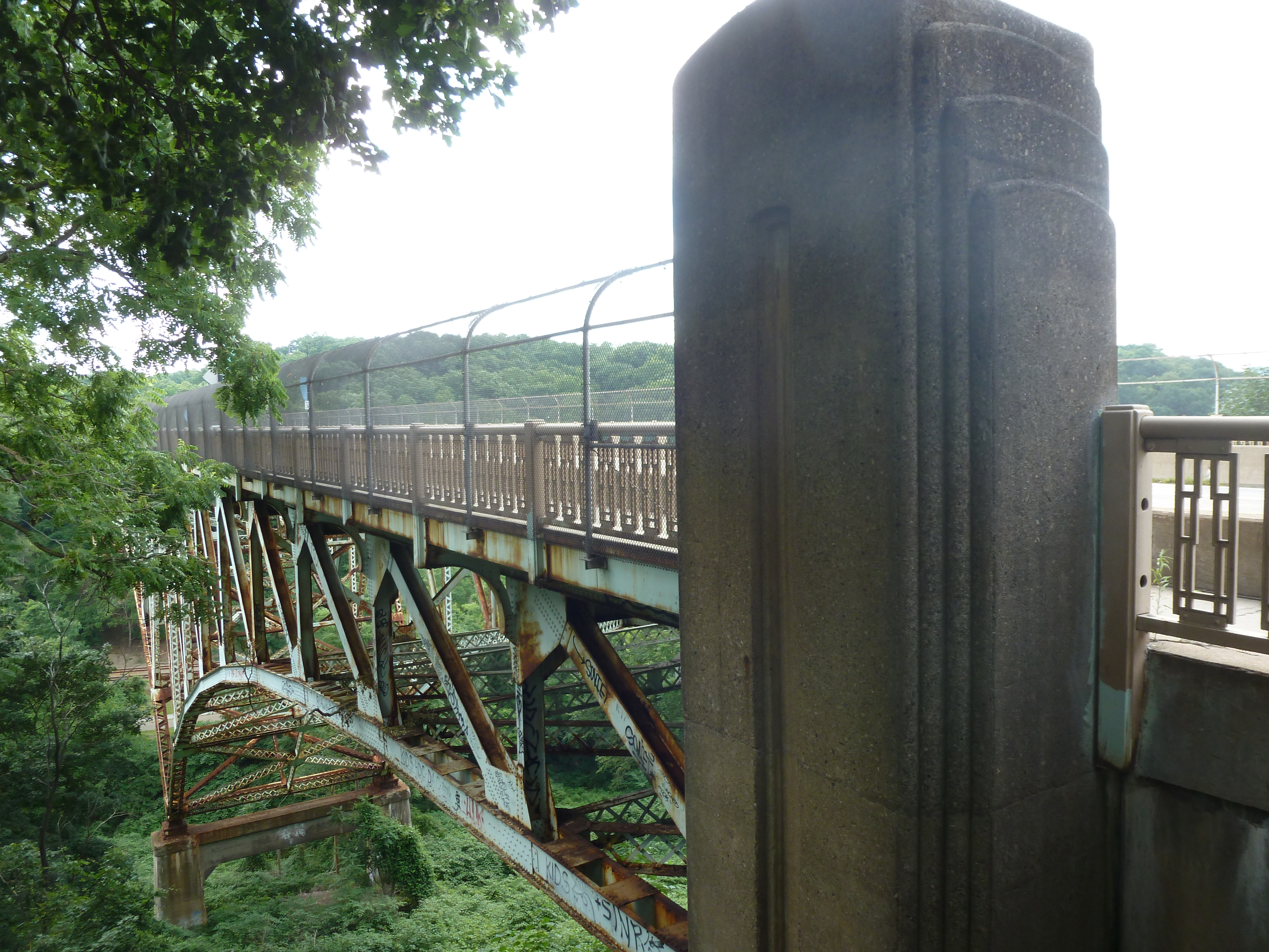
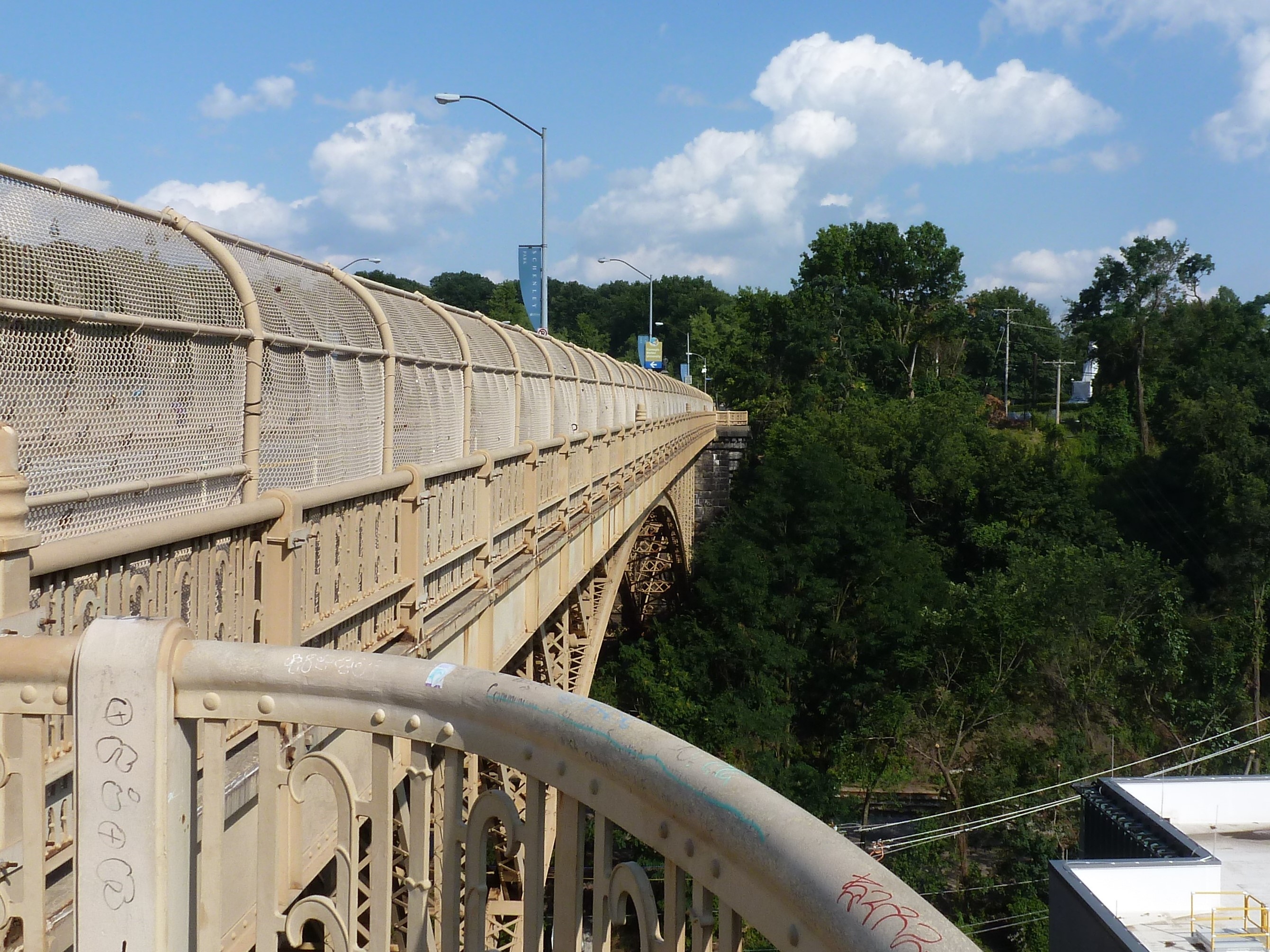
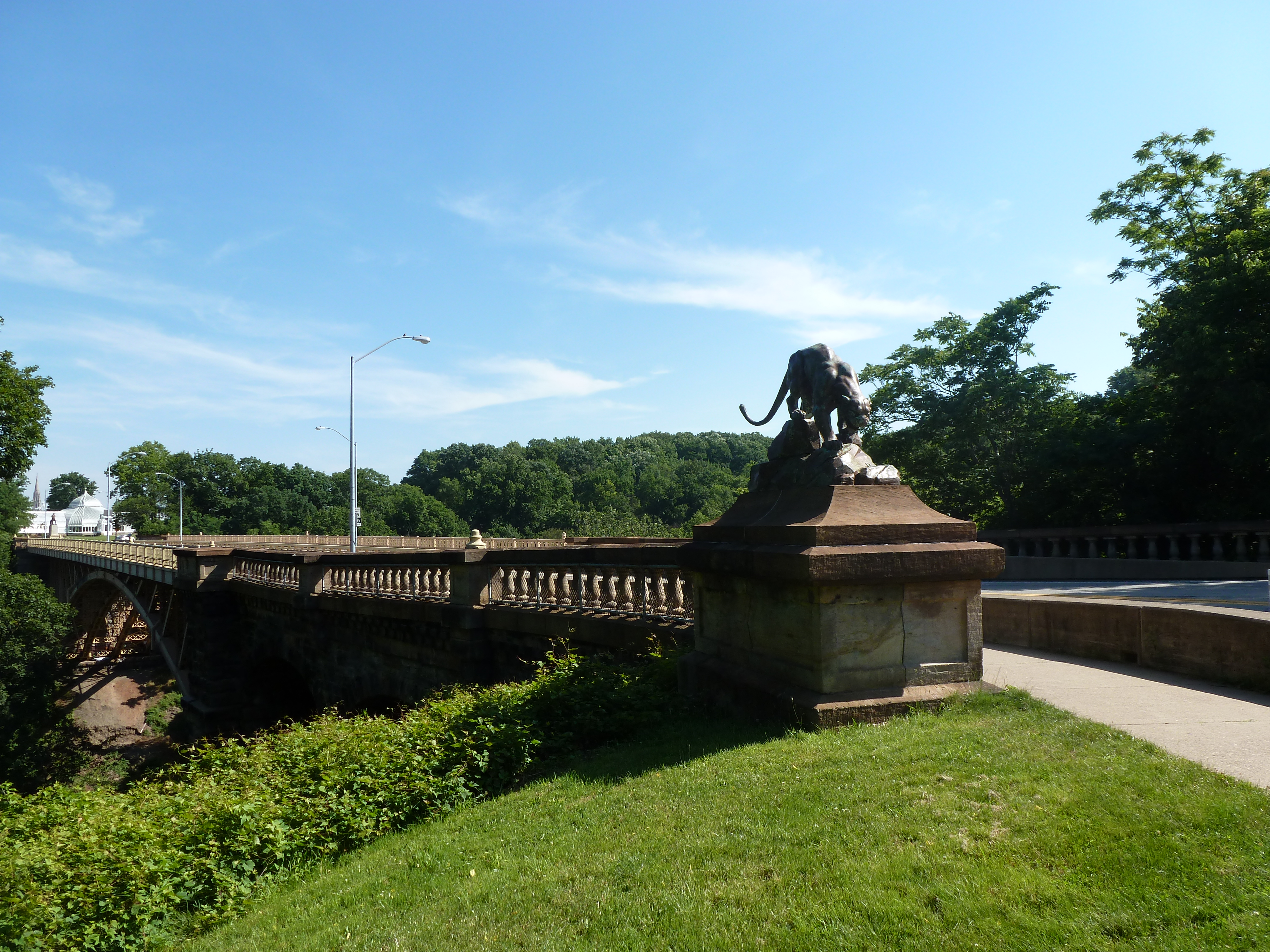
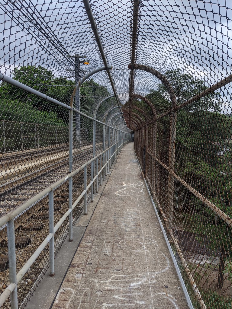
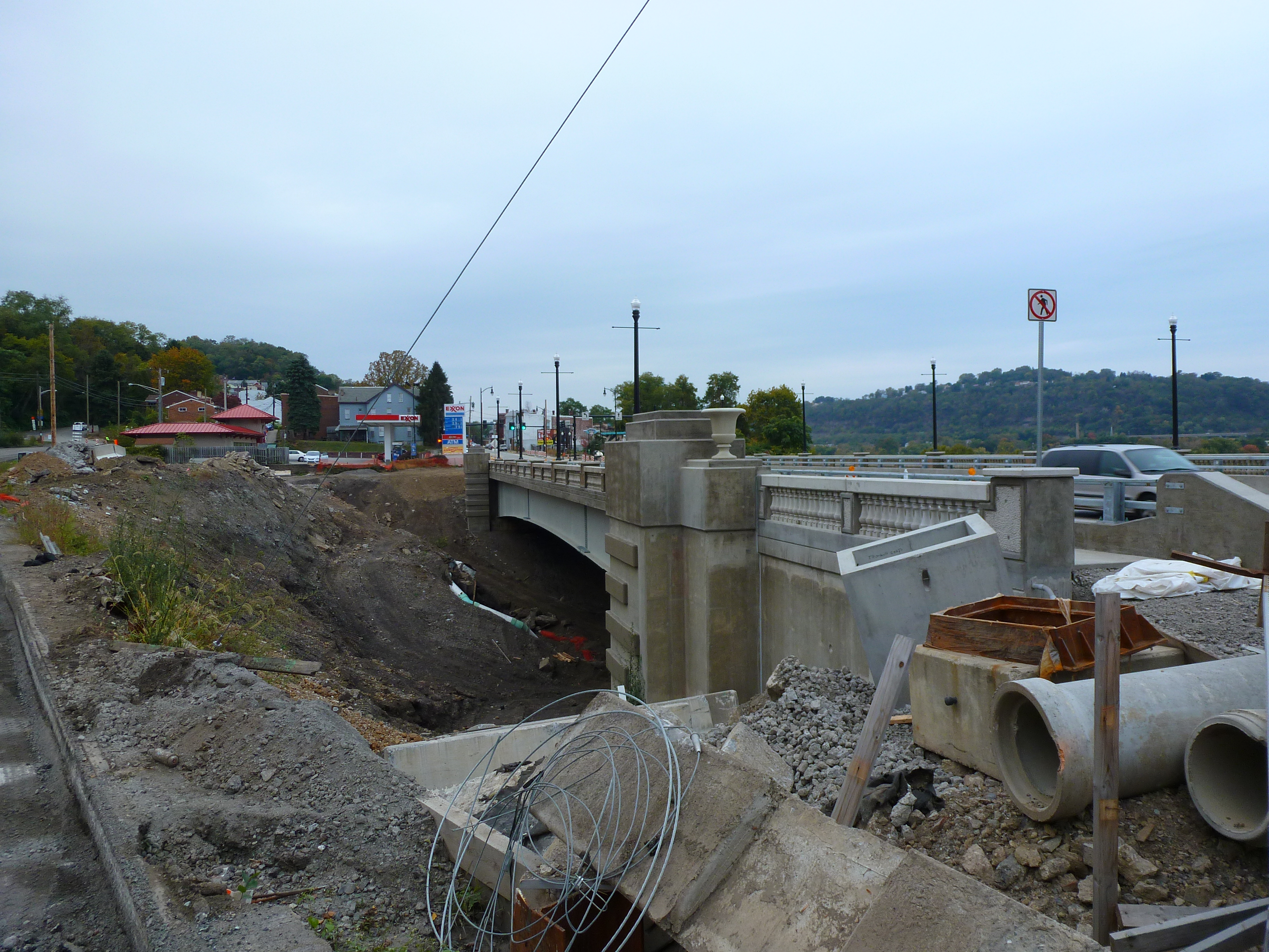
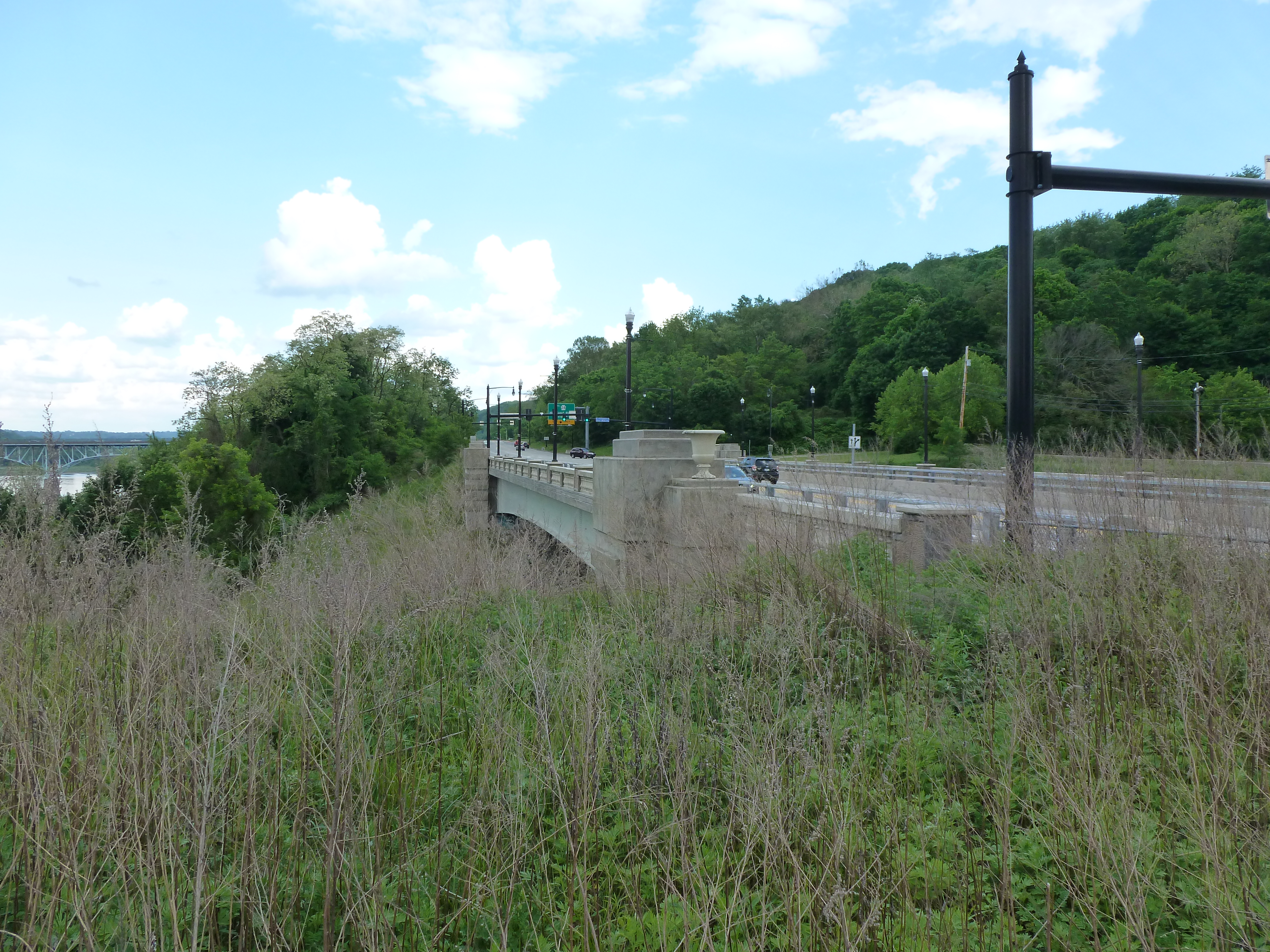
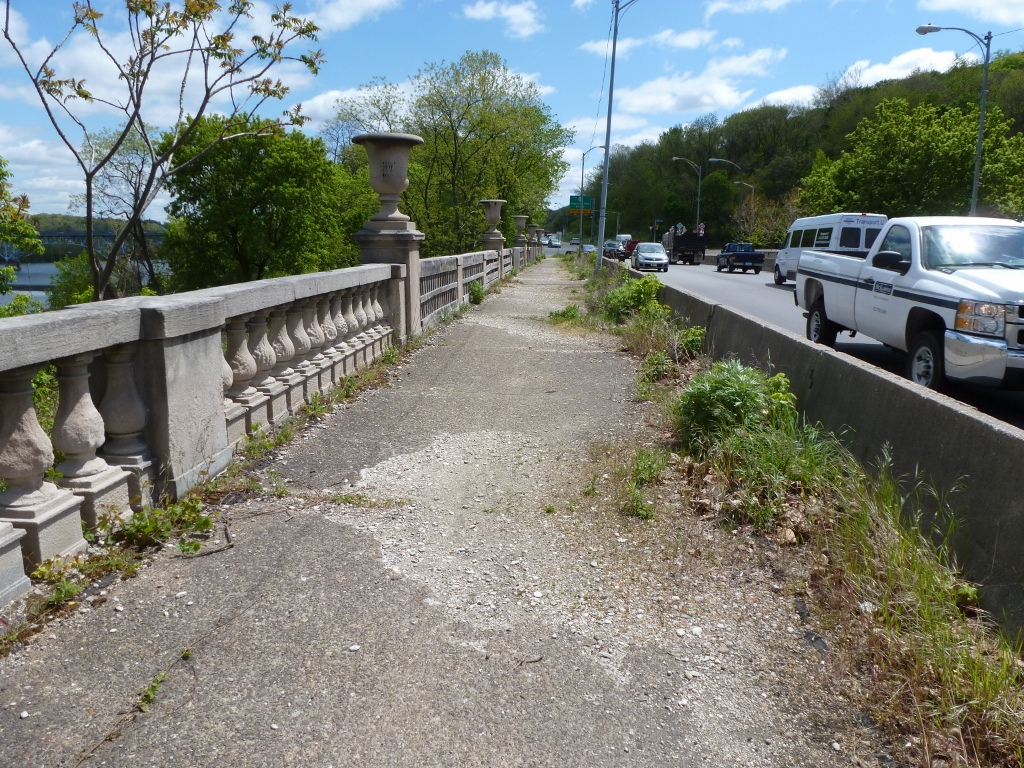
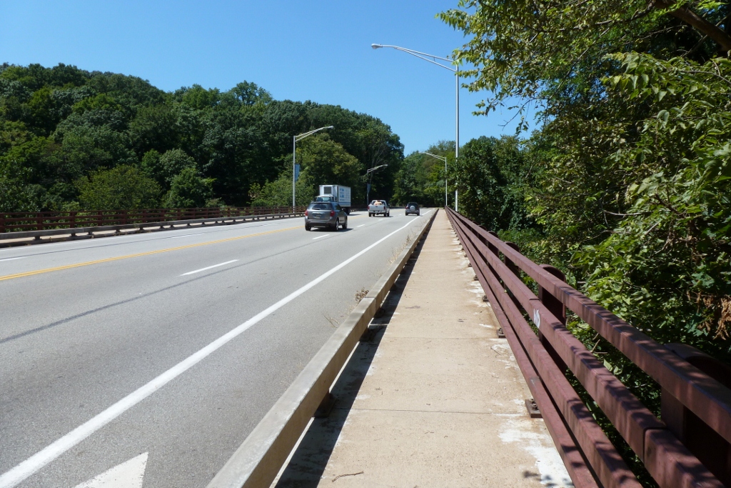
Deferred maintenance of bridges is a real and serious thing. Bridges are a crucial part of our daily lives (especially in places like Pittsburgh). Every time I walk over the Negley Ave bridge over the busway, I warily eye the rusted structure. The old Highland Ave bridge over the busway used to spark the same reaction, but it was fortunately replaced several years ago. The Smithfield Street bridge has holes through the sidewalk. How far do we push our “poor” condition bridges before investing in maintenance and repair?