Rules
In the 2025 Bridge Madness Tournament, 16 suspension bridges go pier-to-pier in a reader’s choice tournament to pick the best one. This year’s tournament features suspension bridges visited by urbantraipsing nationally and internationally.
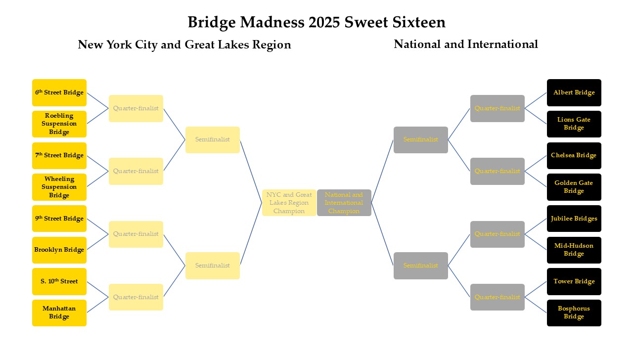
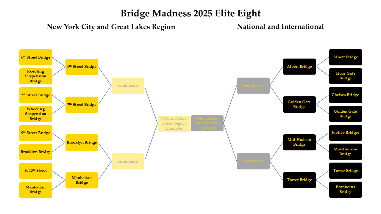
Results of the Sweet Sixteen:
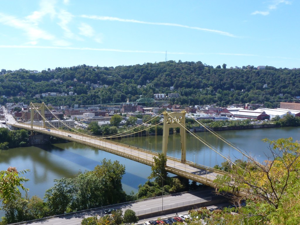
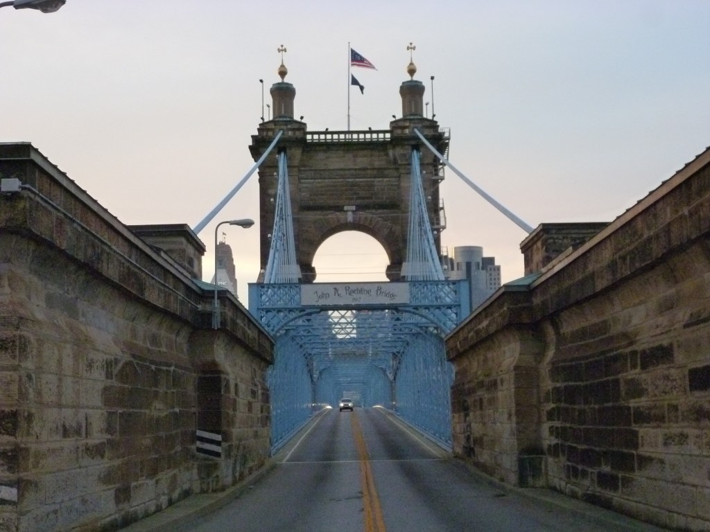
- 6th Street Bridge vs. Roebling Suspension Bridge – 52% to 48%
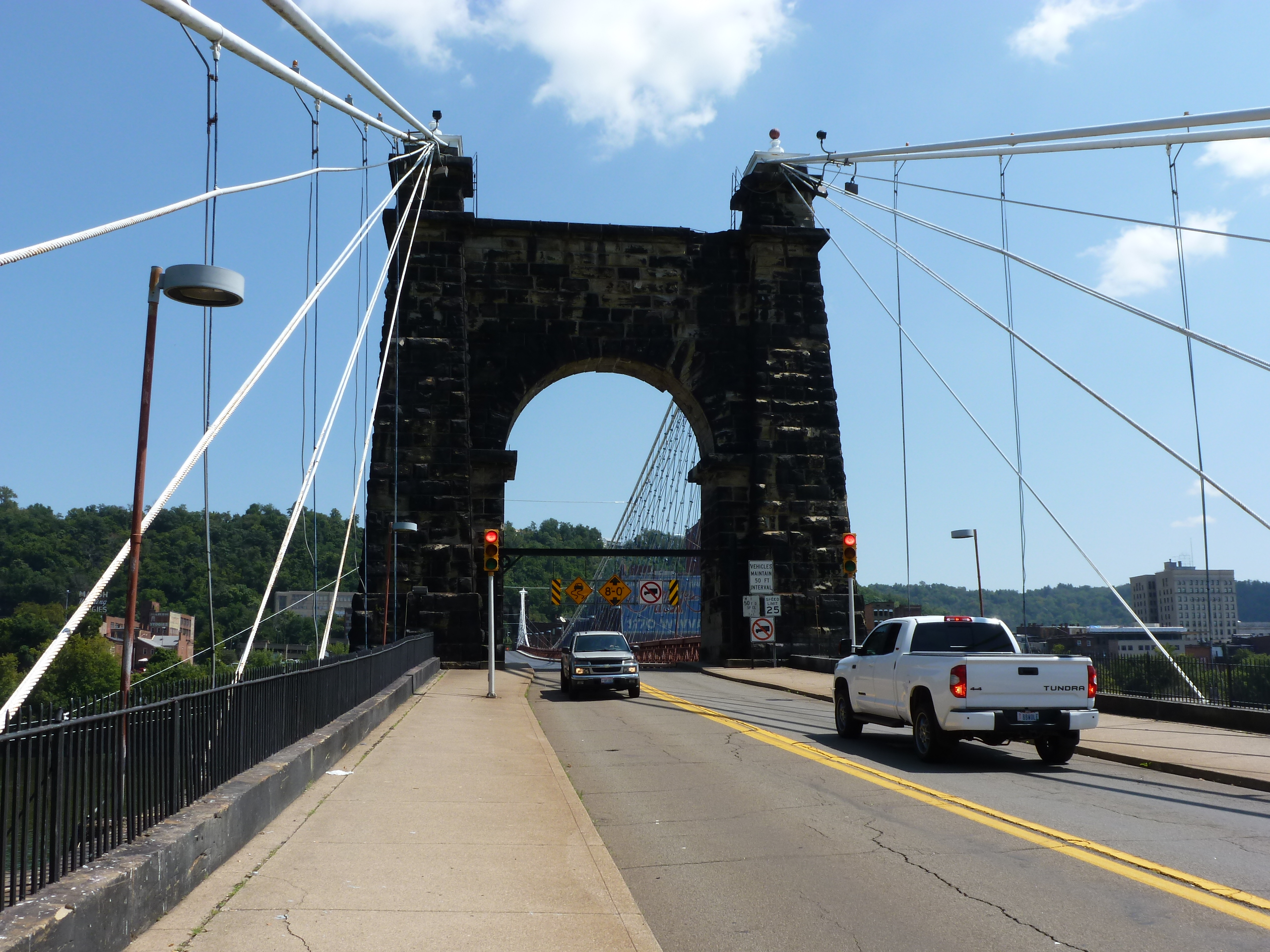
- 7th Street Bridge vs. Wheeling Suspension Bridge – 60% to 40%
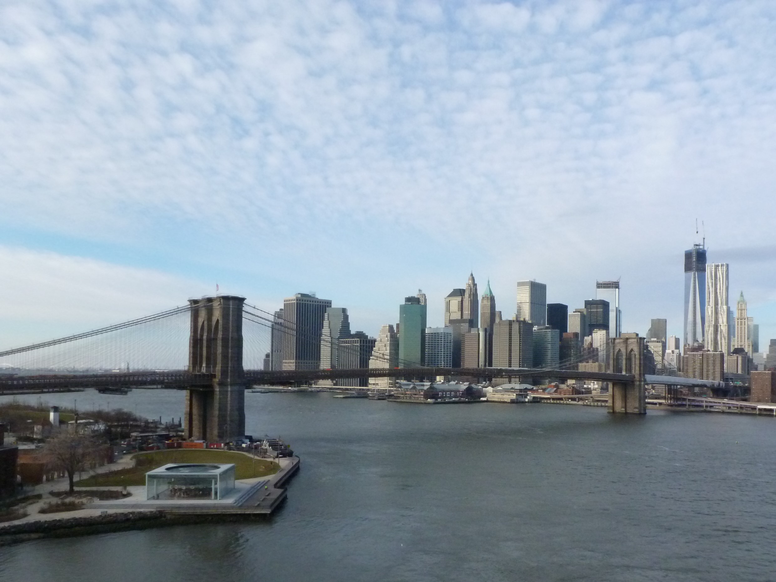
- 9th Street Bridge vs. Brooklyn Bridge – 28% to 72%
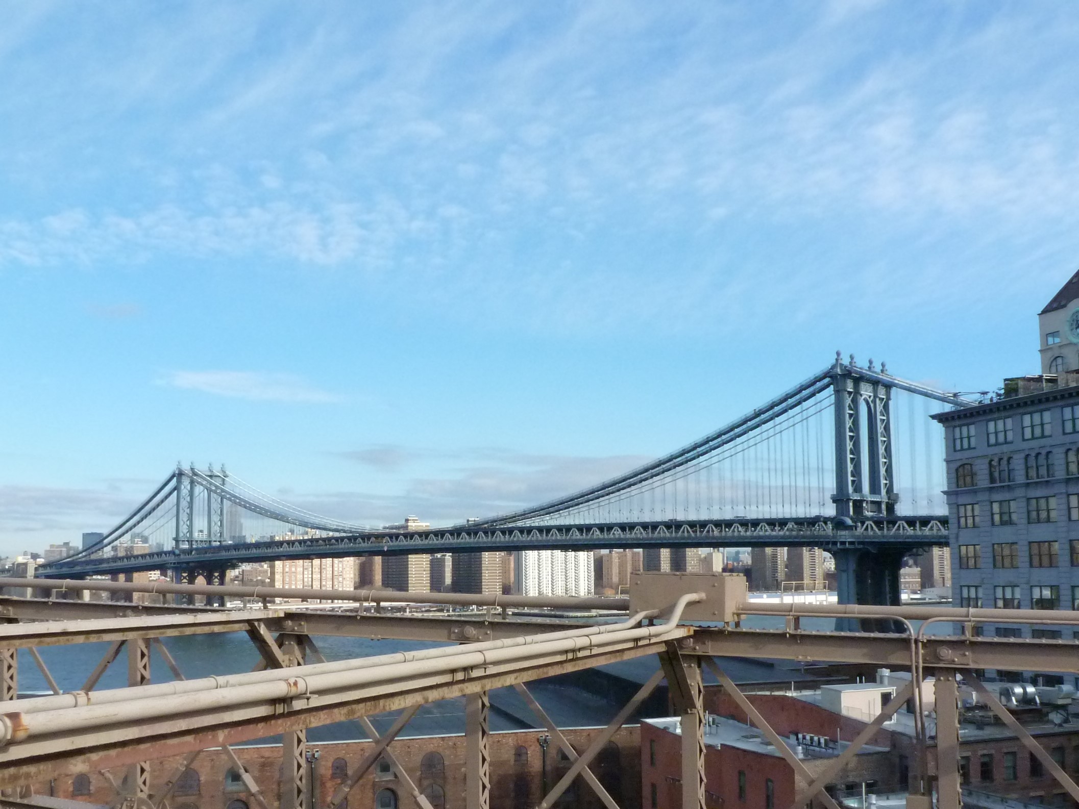
- South 10th Street Bridge vs. Manhattan Bridge – 16% to 74%
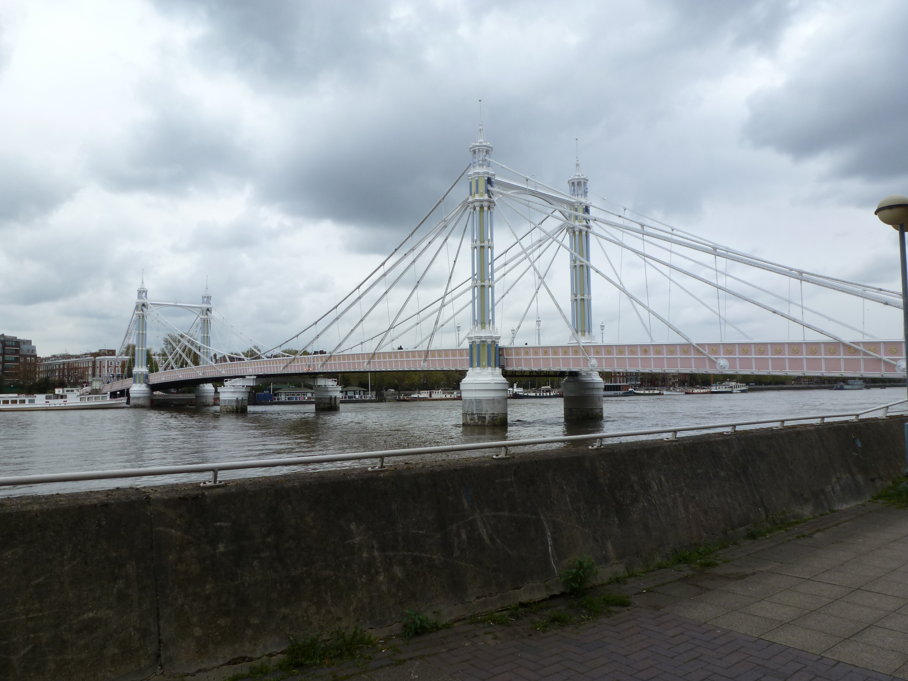
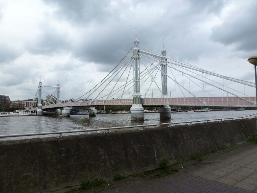
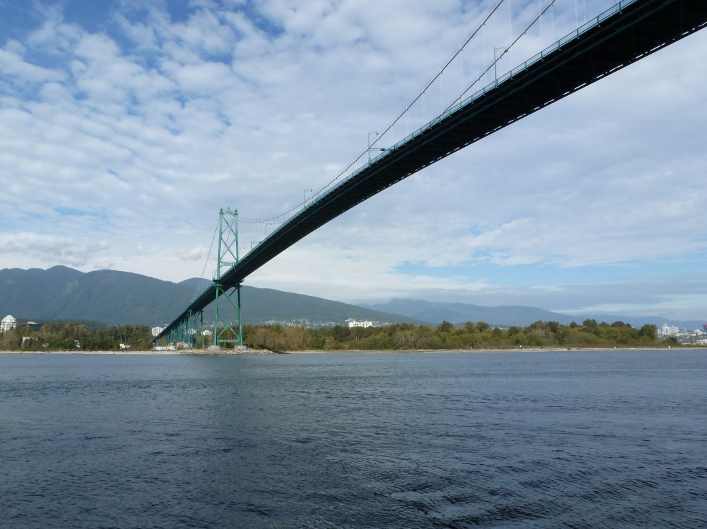
- Albert Bridge vs. Lions Gate Bridge – 58% to 42%
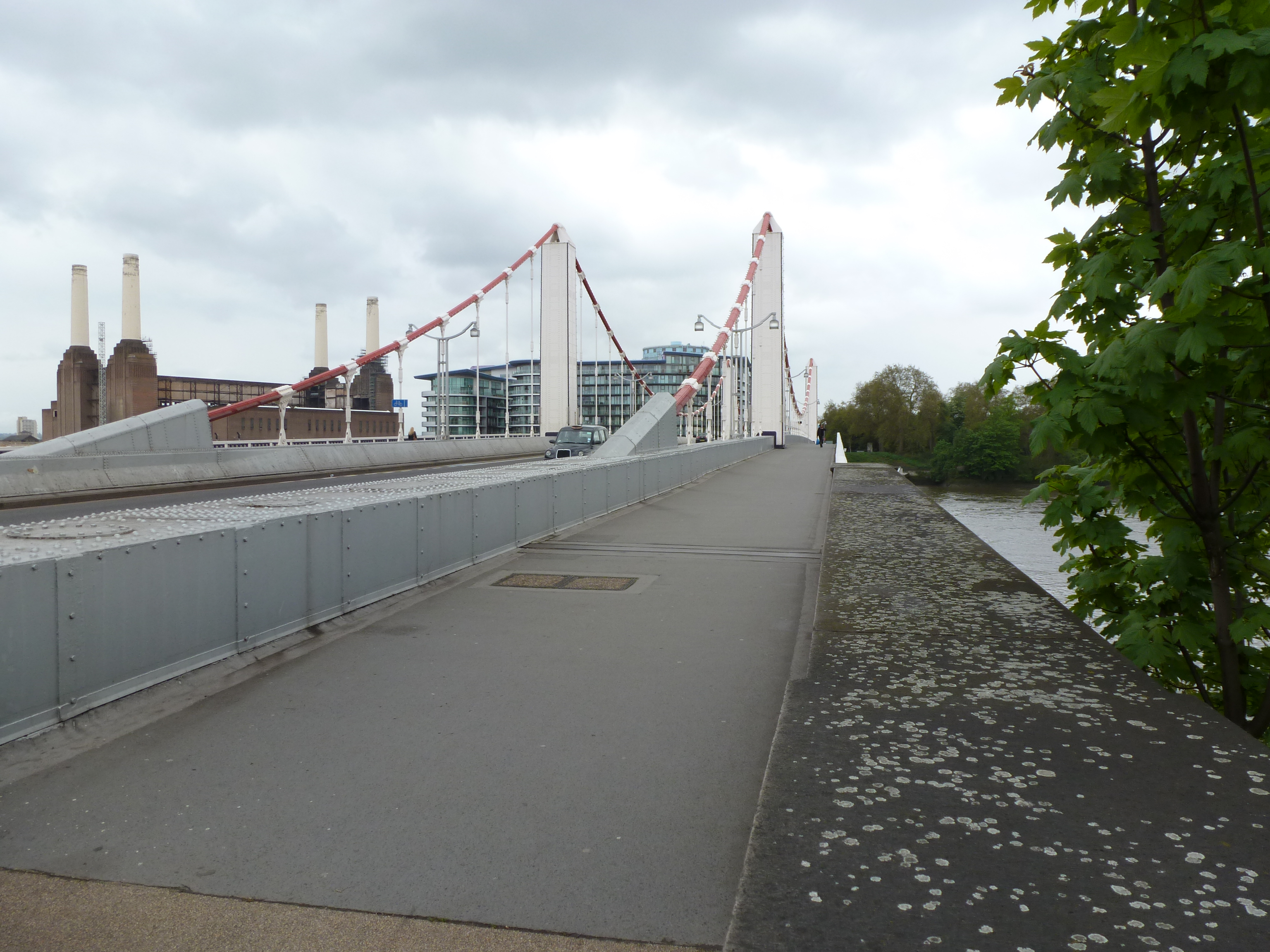
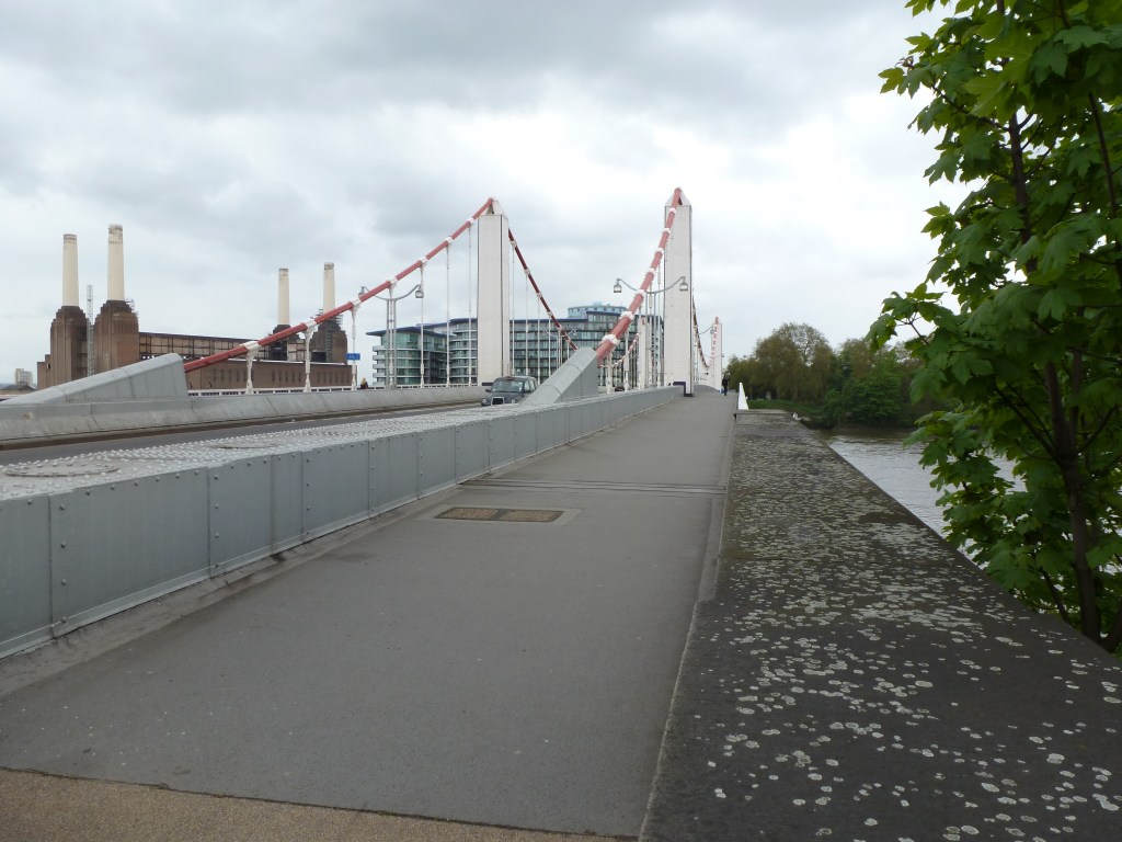
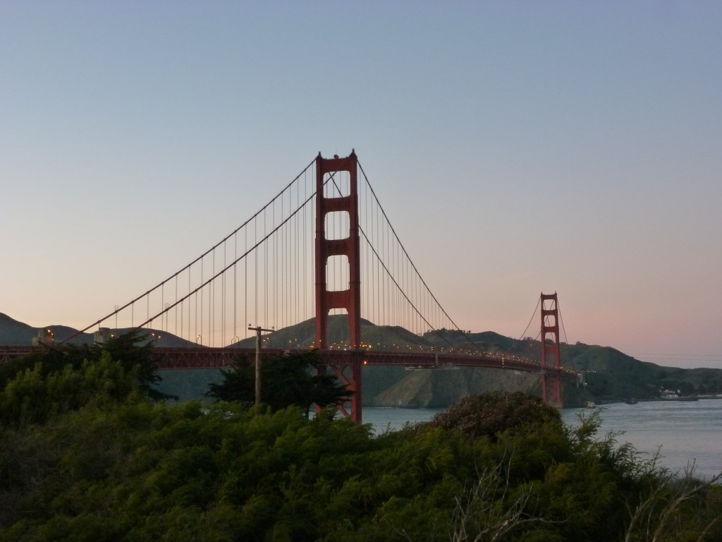
- Chelsea Bridge vs. Golden Gate Bridge – 35% to 65%
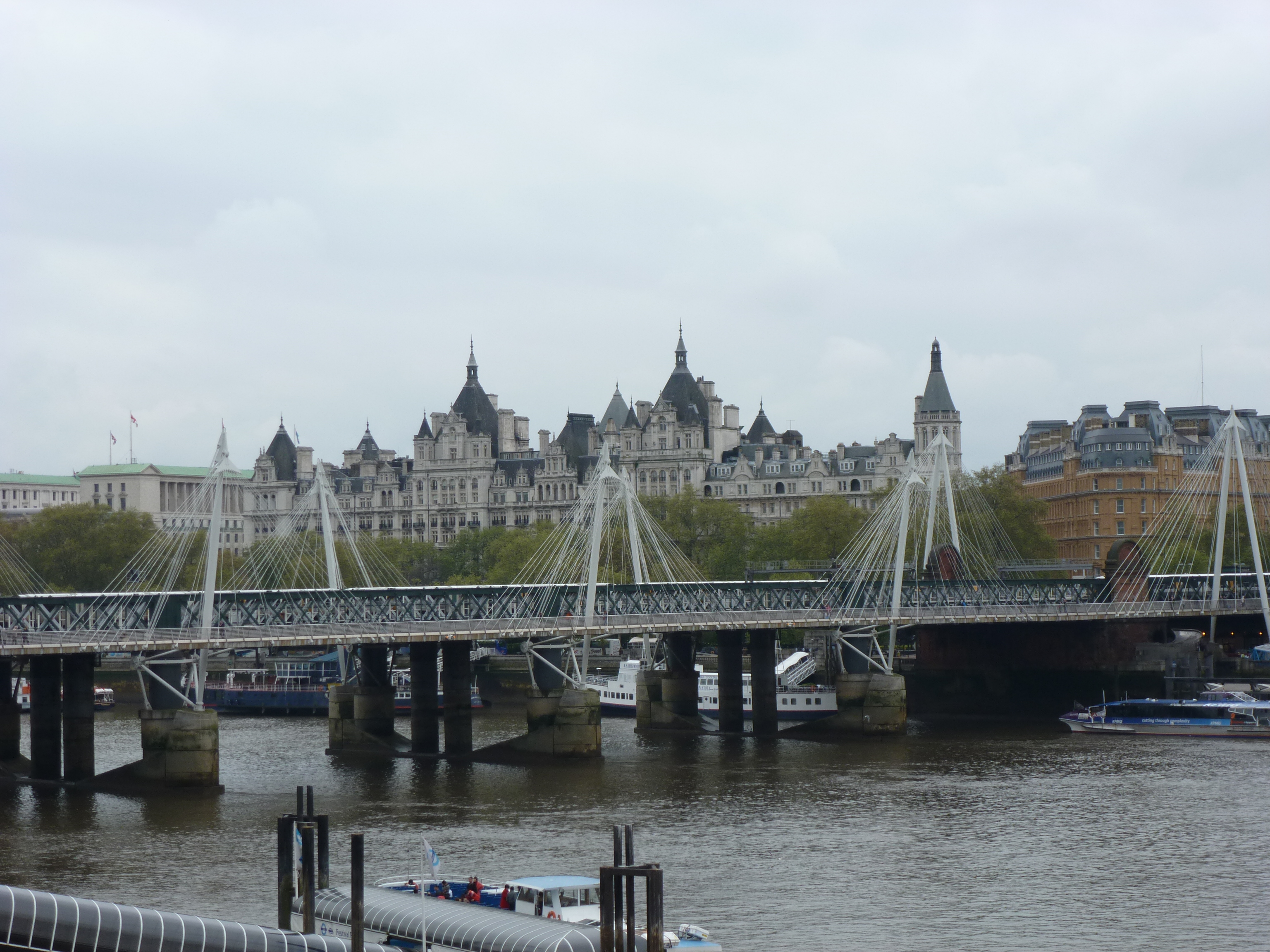
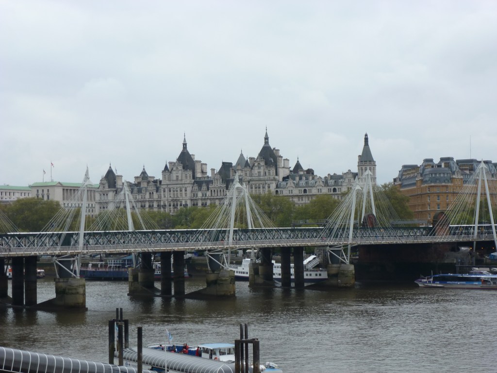
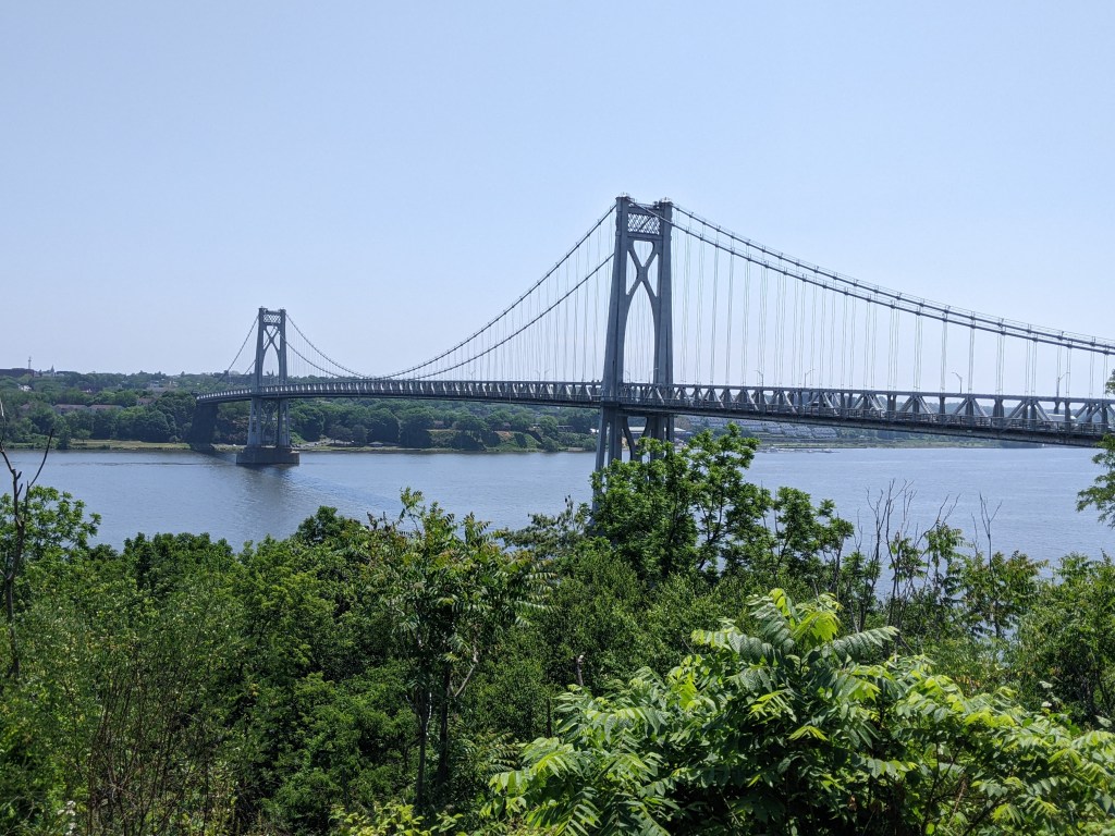
- Jubilee Bridges vs. Mid-Hudson Bridge – 10% to 90%
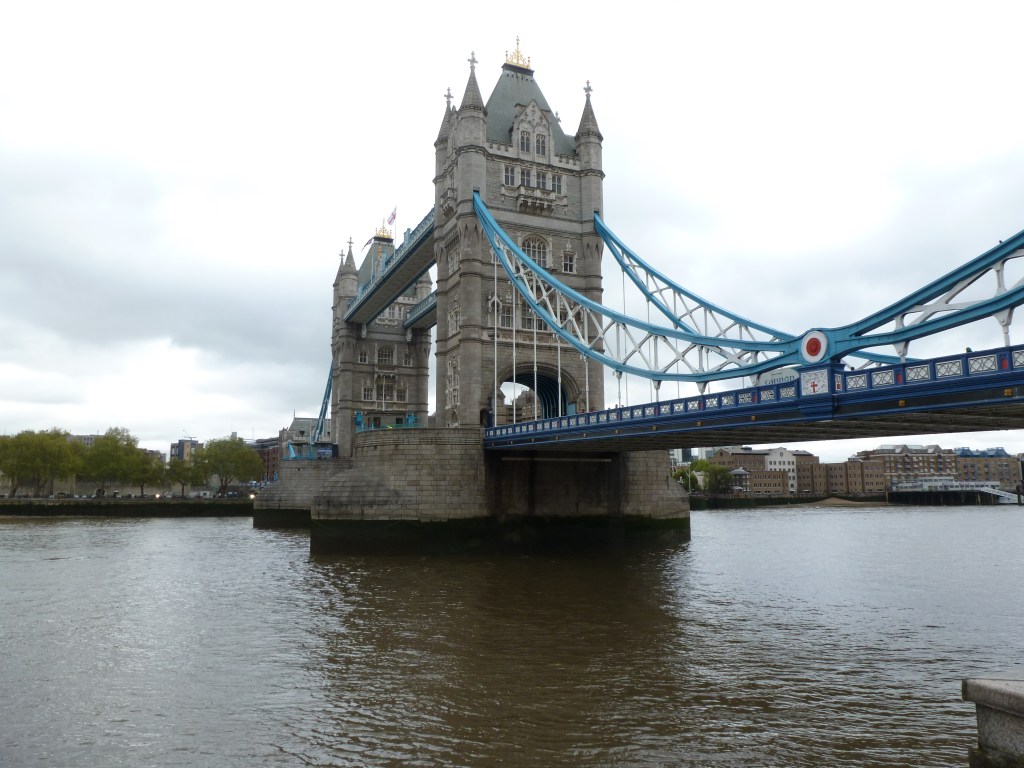
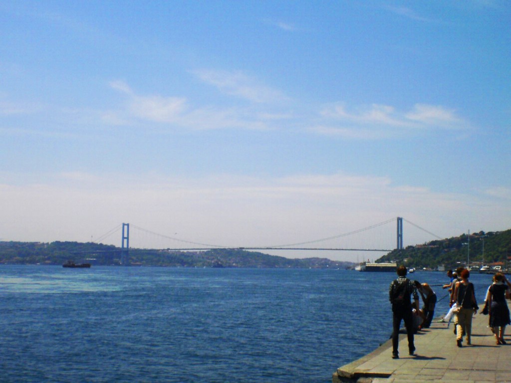
- Tower Bridge vs. Bosphorus Bridge – 83% to 17%
Below are the brackets for the Elite Eight. Remember to vote for one bridge in each bracket by noon on Thursday, March 13th, and then return on March 15th to vote for the Final Four.
The bridges are divided into two conferences: New York City and Great Lakes Region vs. National and International. To learn more about the bridges, revisit the introduction which has links to posts on each bridge.
New York City and Great Lakes Region


National and International