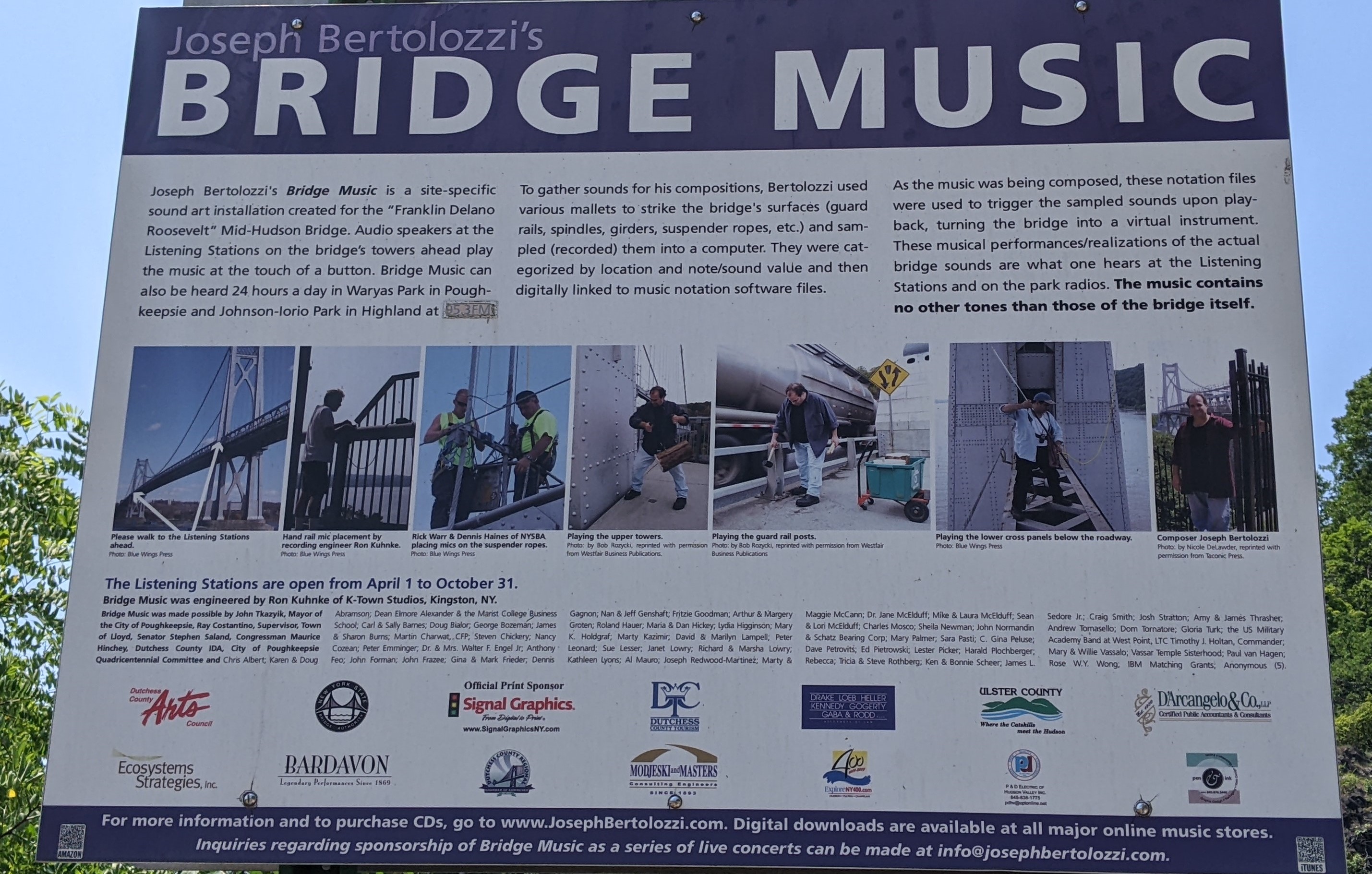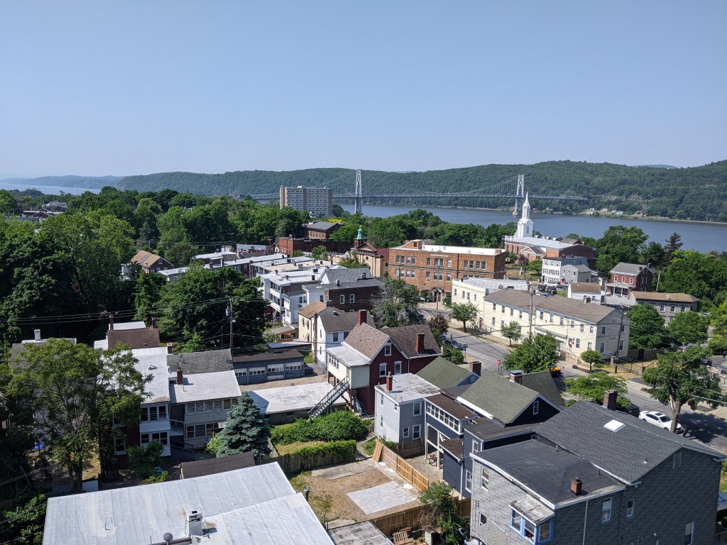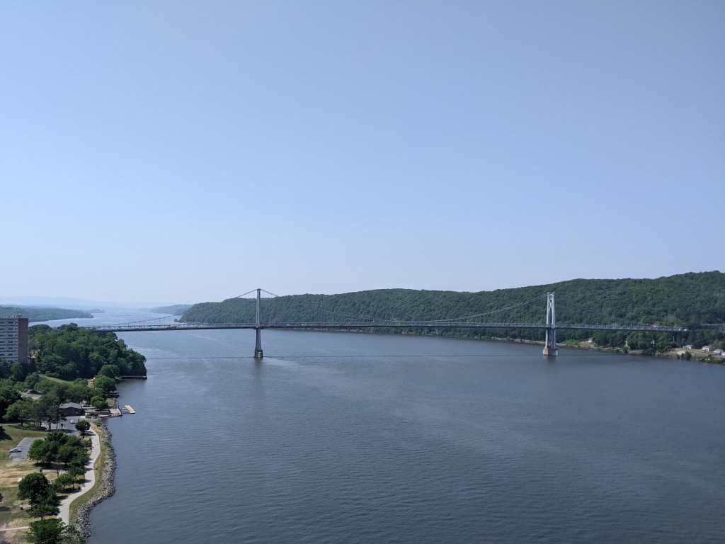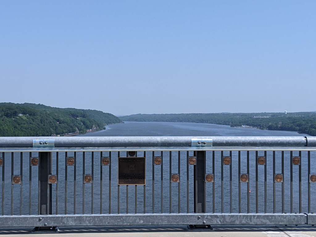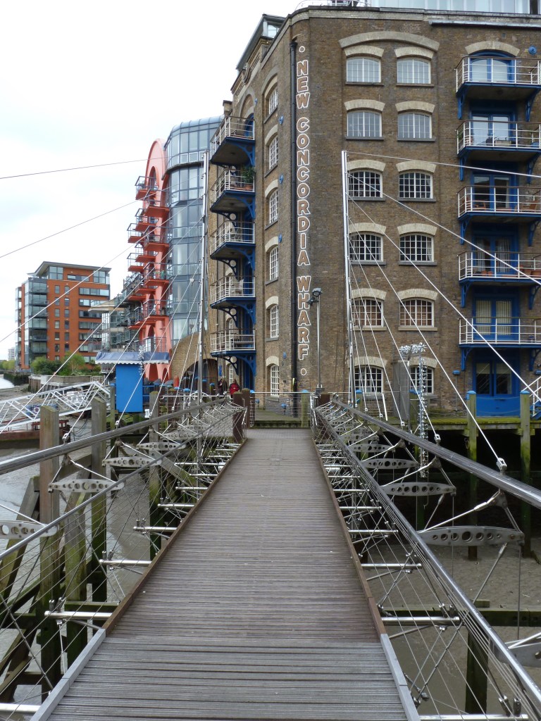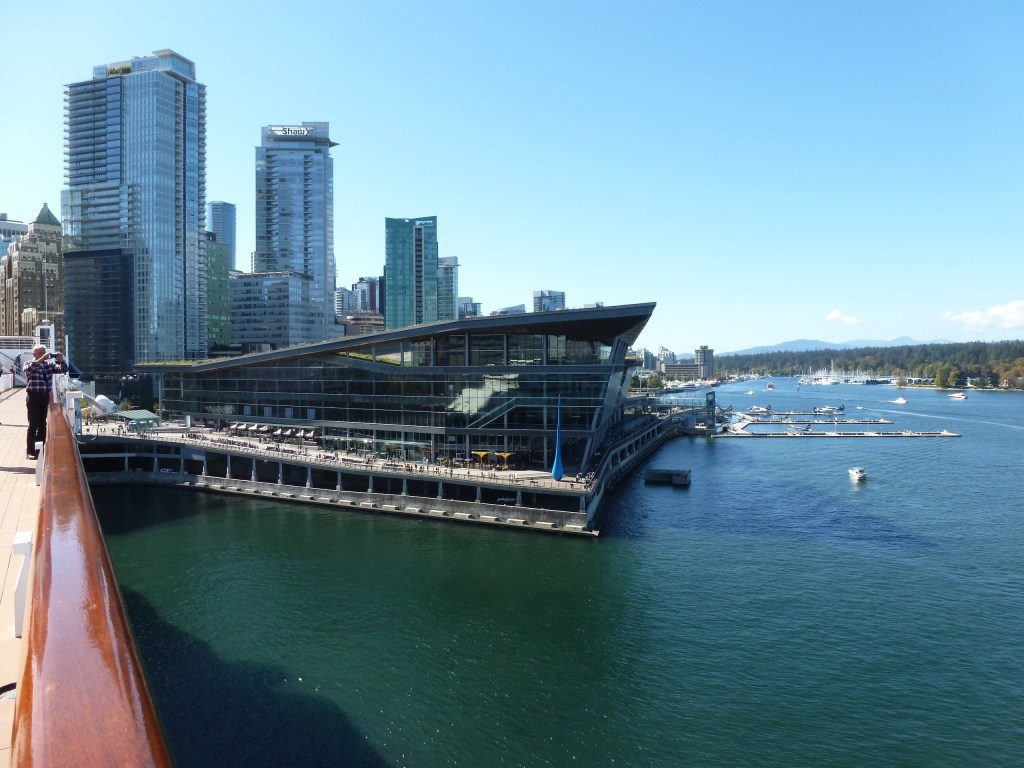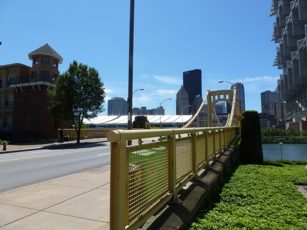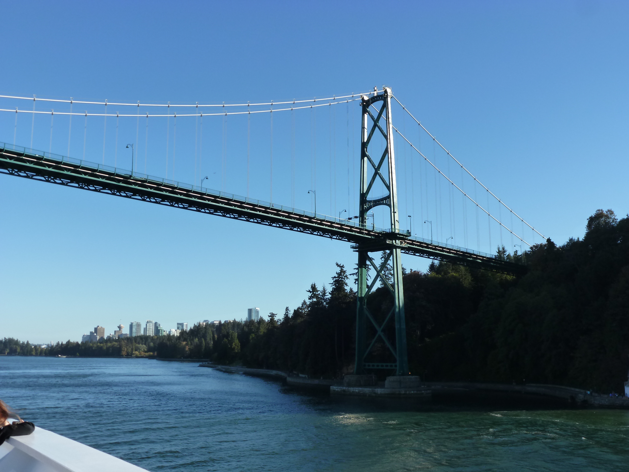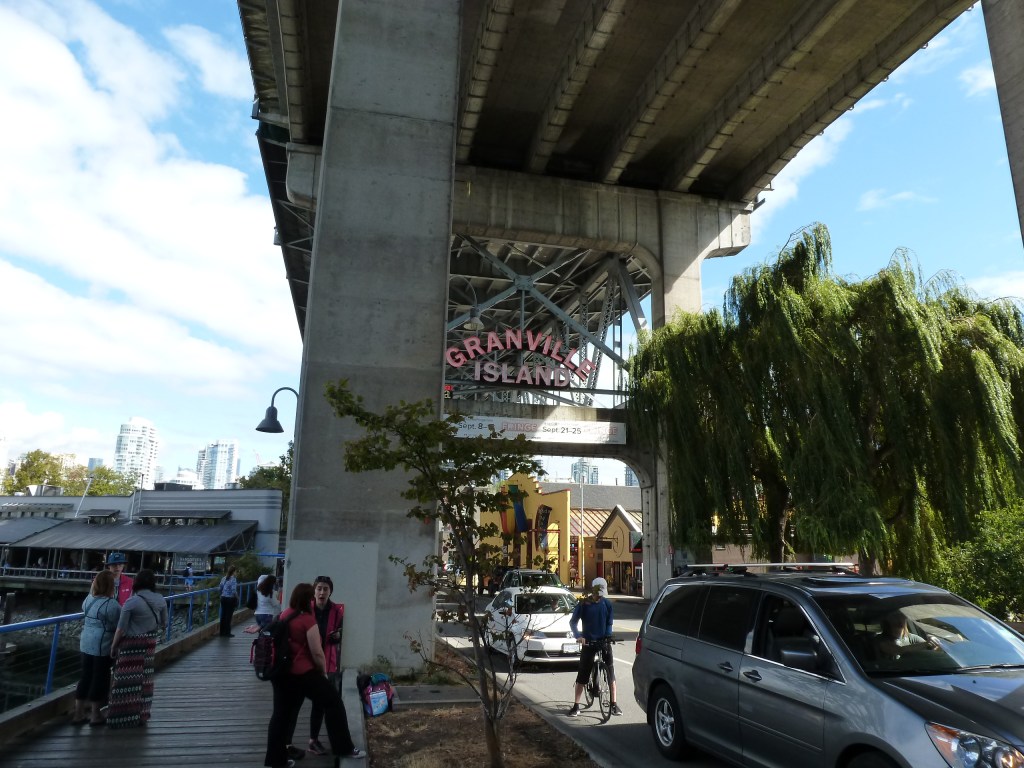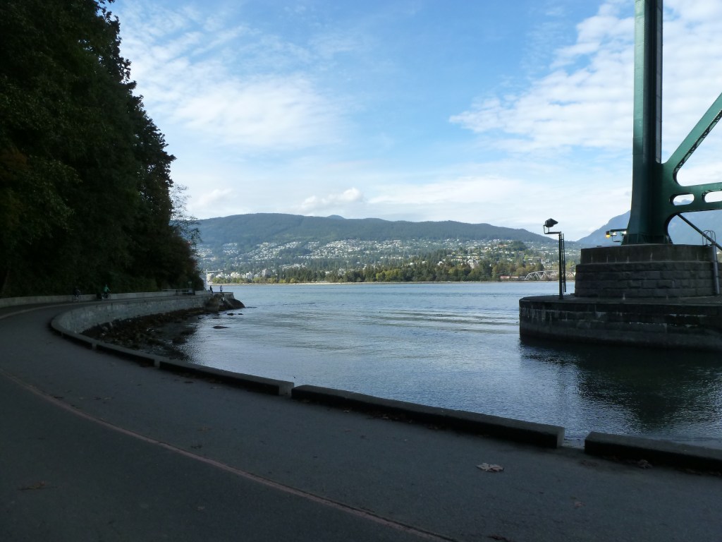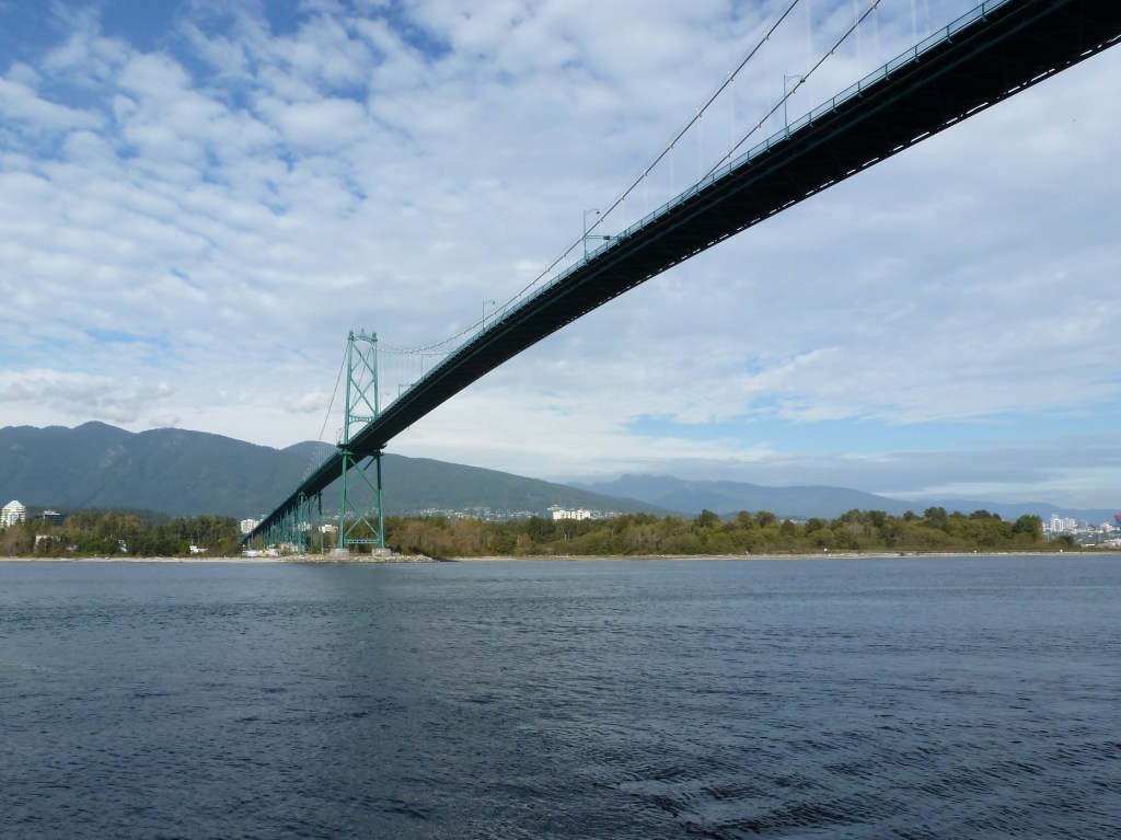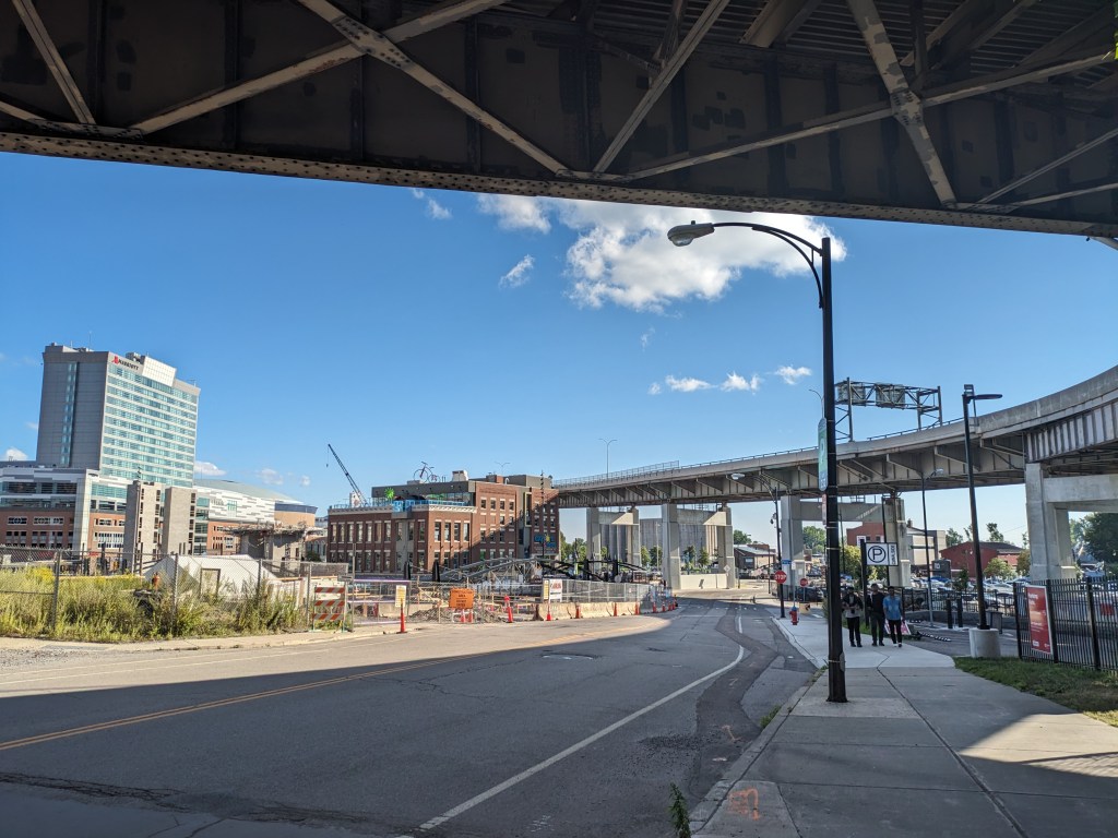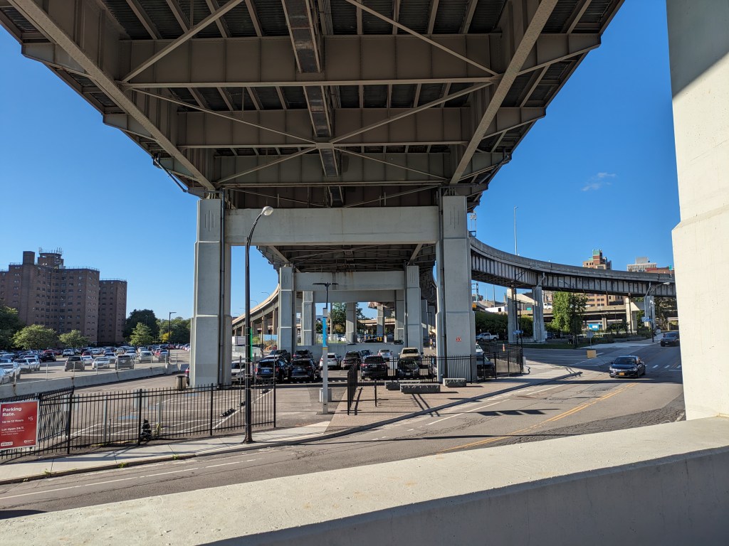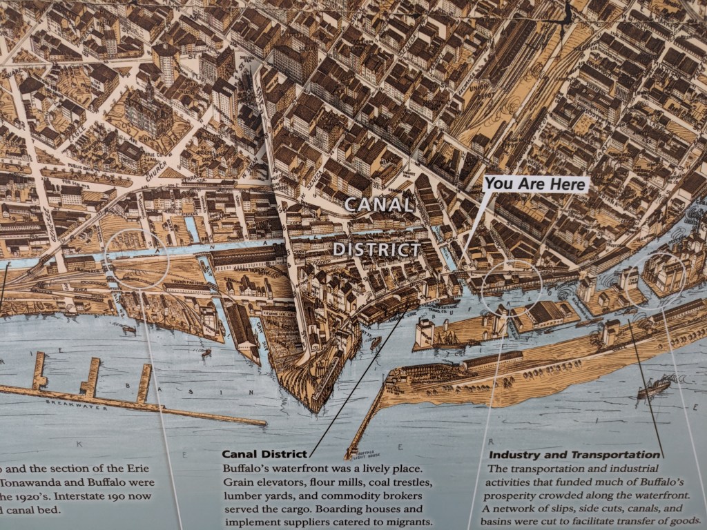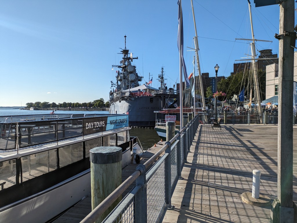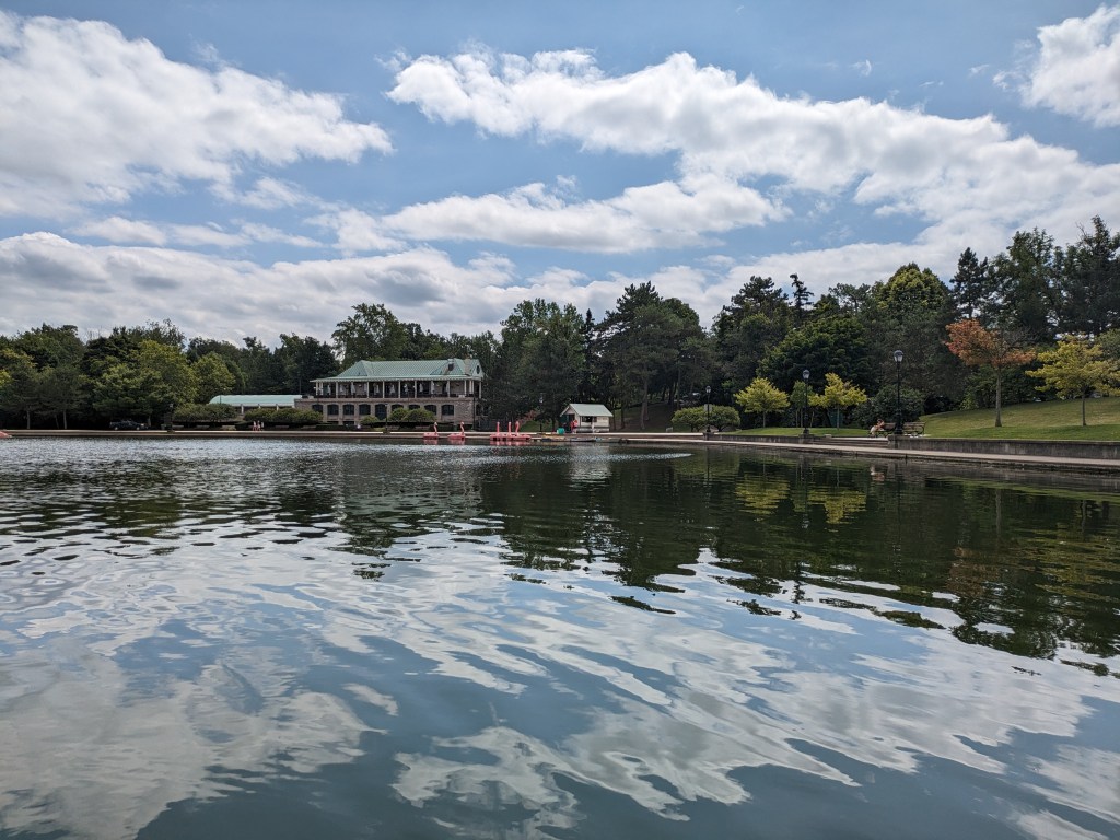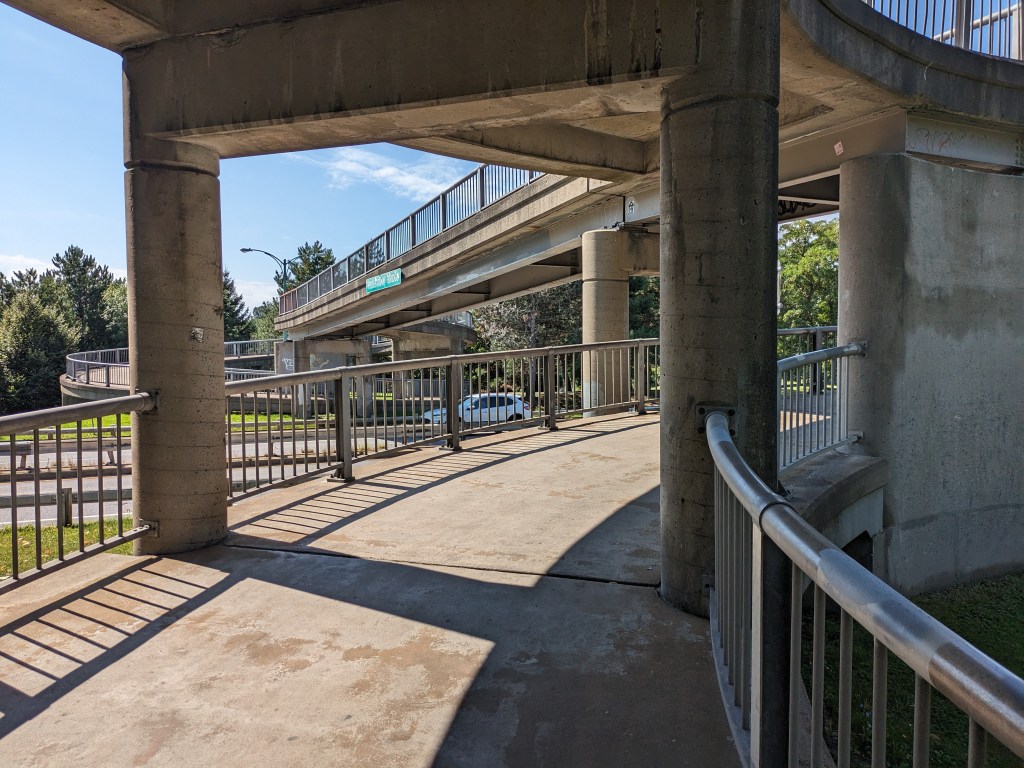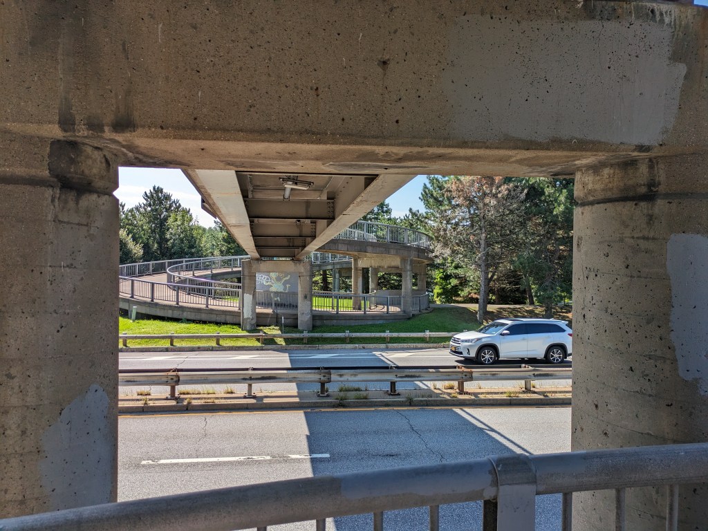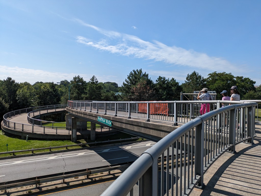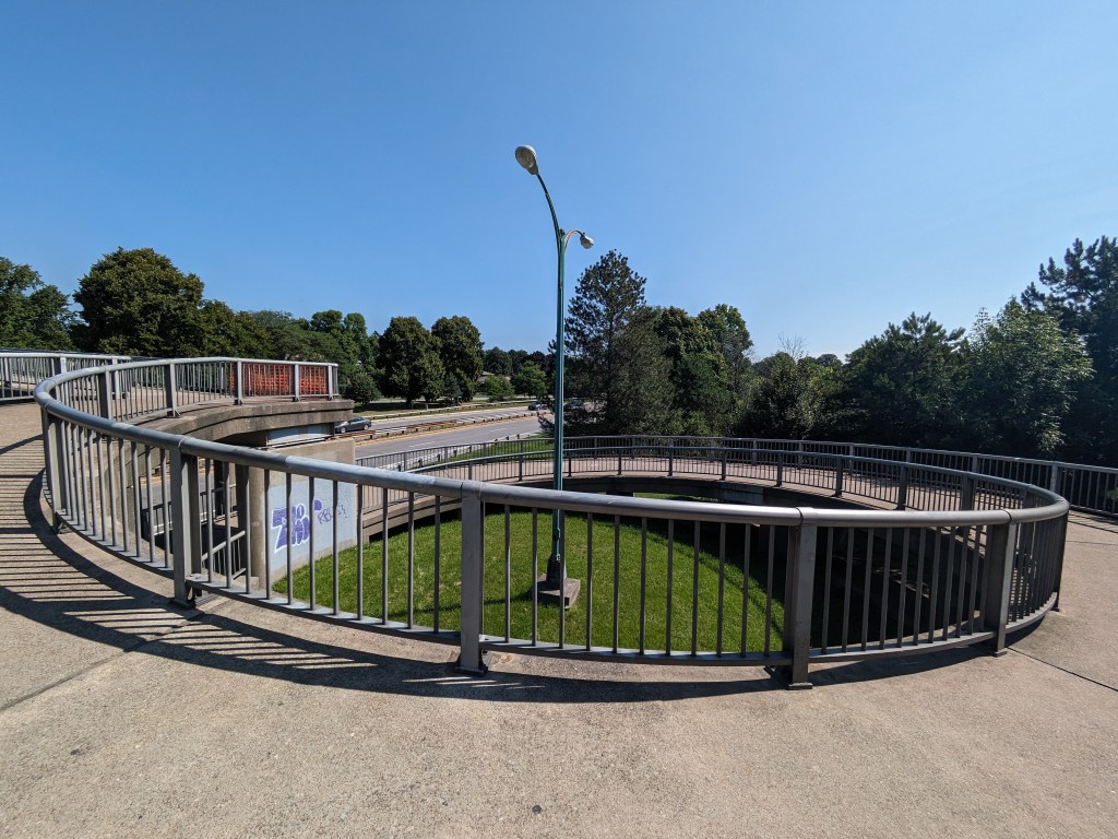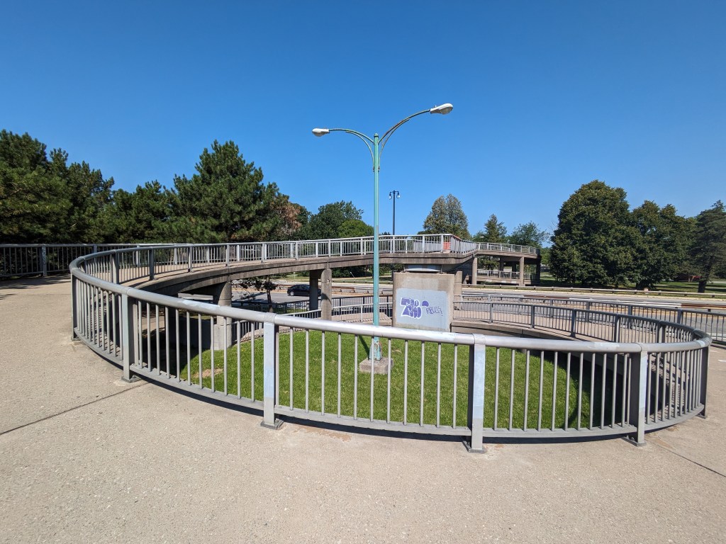
Bridges are a vital connectors that enable us to move around as we live our lives. Frequently, we don’t even realize there’s a bridge there…at least not until there’s a bridge disaster. Over the last few years, there have been several bridge disasters, some due to accidents, like the collapse of Baltimore’s Francis Scott Key Bridge in March 2024 after being struck by a malfunctioning container ship, and some due to deferred maintenance, like the collapse of Pittsburgh’s Fern Hollow Bridge on an icy, cold morning in January 2022.
We have seen recently that when there is motivation, the missing links caused by bridge disasters can be repaired in record time. Pittsburgh’s Fern Hollow Bridge was completely rebuilt and opened to traffic 11 months after collapsing, instead of the usual multi-year process to design and build a new bridge. In Philadelphia, when an elevated section of I-95 collapsed after an accident in 2023, the repaired section reopened to traffic 12 days later, compared to 26 days for a similar situation in Oakland, CA. (PBS News, June 23, 2023)
Despite President Biden’s repeated request to Congress to expedite funds to replace Baltimore’s Francis Scott Key Bridge, Republicans in Congress are possibly motivated to delay so that President-elect Trump will get the credit for rebuilding this crucial transportation link. (Fox News Baltimore, November 8, 2024; WCBM, November 8, 2024) Unfortunately, Trump does not have a good track record for funding bridges.
It can be easy to overlook during the buzz of election season that there is often a delay between when a law is signed or a policy adopted and when the effects of that law or policy are felt. Bridges encapsulate that well. The memorable moments are when a bridge closes or collapses (typically viewed negatively) and when a bridge reopens (typically viewed positively). The moment when funds are allocated, the moment enabling a bridge to reopen at a later date, is not often remembered.
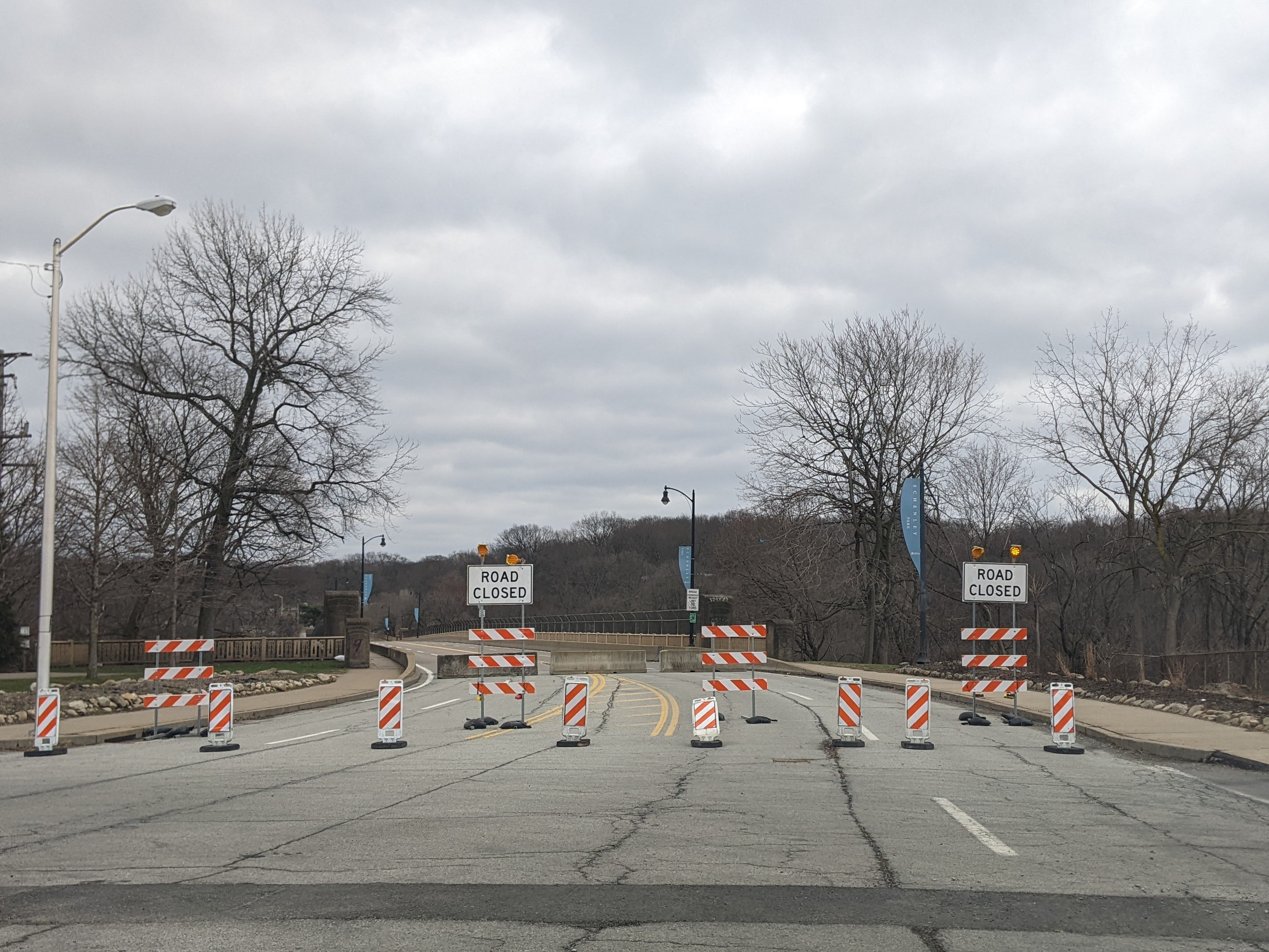
For example, it was front page news when the new Greenfield Bridge reopened in 2017, when Trump was President, but the funding that constructed the bridge was allocated when Obama was President. Similarly, the Charles Anderson Bridge has been closed to traffic for most of President Biden’s term in office, to the annoyance of many, but that is also when the funds were found to rehabilitate the bridge expanding the life of this historic bridge by decades. However, the reopening is projected to be in 2026, in the middle of Trump’s second term as President.
Assuming two years as the average time from funding to reopening on bridge reconstruction and rehabilitation projects, I pulled the Federal Highway Administration’s numbers for bridge construction and rehabilitation in Pittsburgh that would have been funded under the leadership of Presidents George W. Bush, Barack Obama, and Donald Trump. (FHWA InfoBridge) Given the delay between funding and completion, it is too early to measure the impact of funding under President Joseph Biden’s leadership.
Bush: 36 bridges total = 4.5 bridges per year
Obama: 76 bridges total = 9.5 bridges per year
Trump: 9 bridges total = 2.25 bridges per year
Bridge maintenance and repair rarely happens without support from federal funding. When the bipartisan infrastructure bill passed under President Biden’s leadership runs out of funds, or those funds get diverted to Project 2025, I am skeptical that new funding for bridges will be found under the leadership of President-elect Trump. Therefore, I expect more bridge disasters or, at the very least, more indefinite bridge closures in the coming years.