For years, even before I started urbantraipsing, I thought nothing of walking from transit stop to transit stop, bridge to bridge, as I explore and encounter the expected and unexpected nooks and crannies of a city. That way of life came crashing to a devastating halt in the fall of 2023 when I developed Long COVID.
Six months passed.
And then a year.
The return to “normal” my doctors promised seemed increasingly unlikely. But a return to functional seemed within reach. The question remained: did urbantraipsing fall within this new functionality?
After a few local test excursions, I felt physically and mentally strong enough to test travel. In April 2025, I took a long-overdue trip to visit my brother in Washington, DC. On this trip, I encountered some great bridges and learned that, much like other activities, with modification and accommodation urbantraipsing is a way of life I can continue.
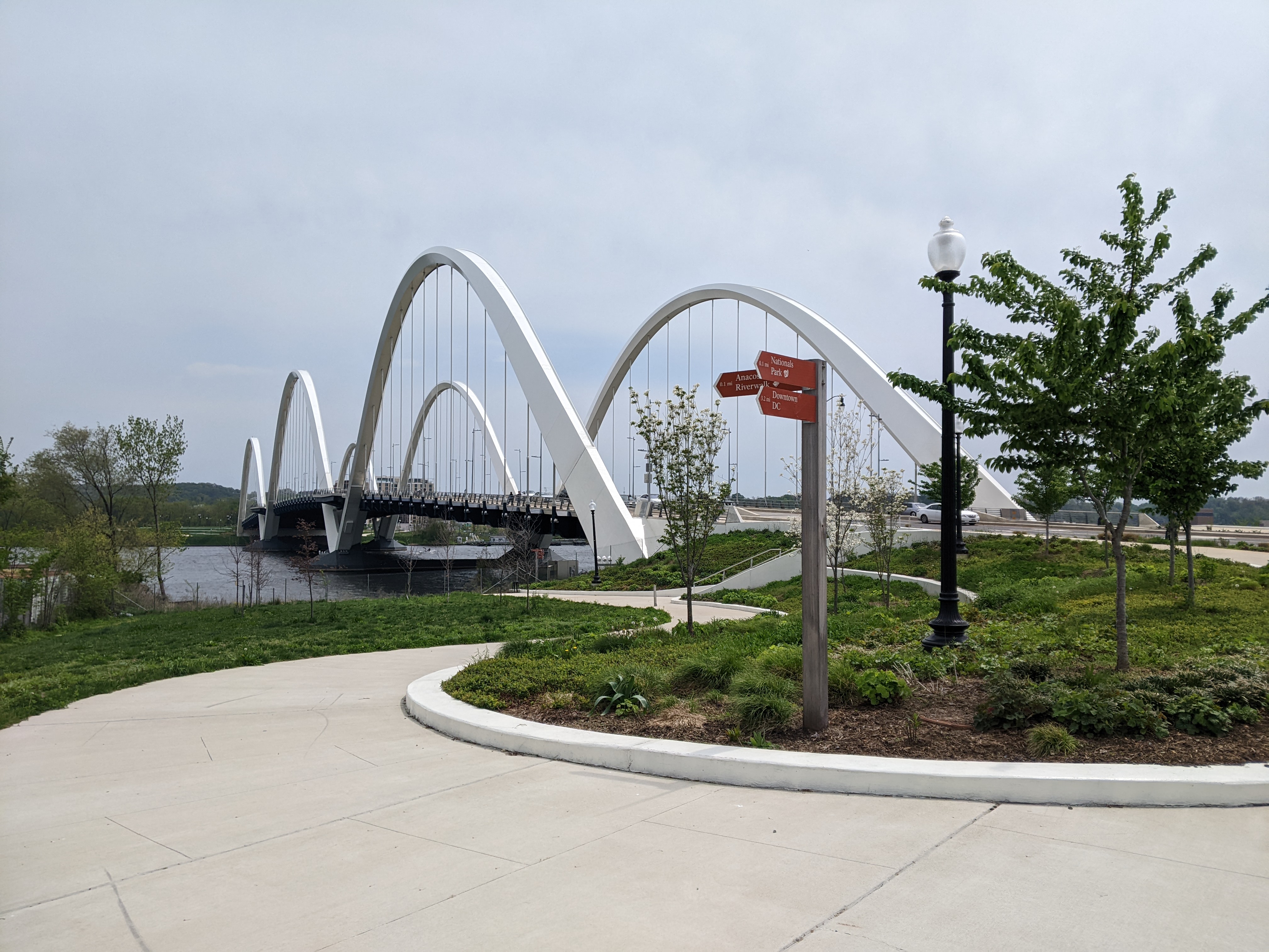
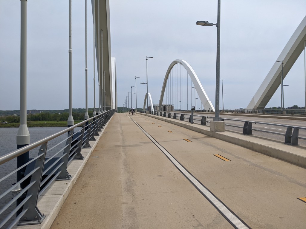
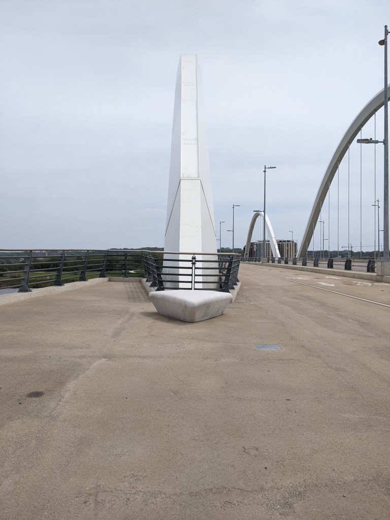
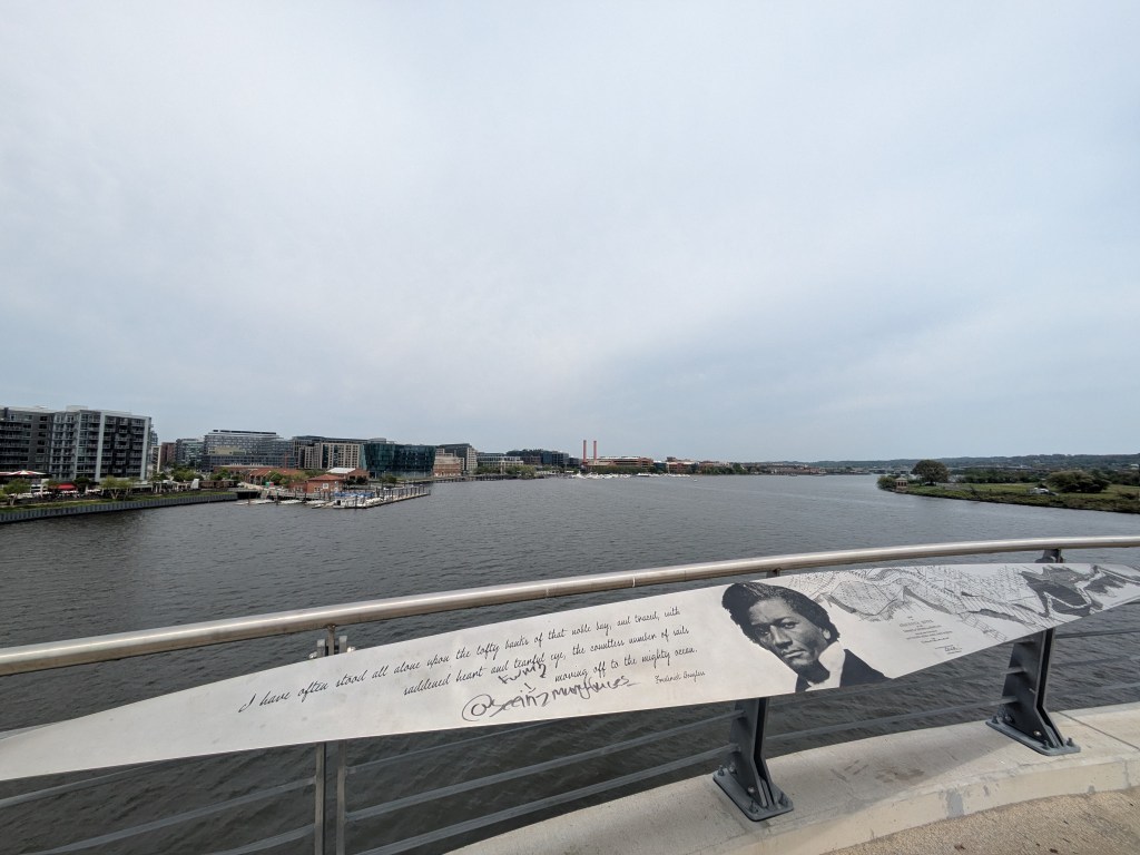
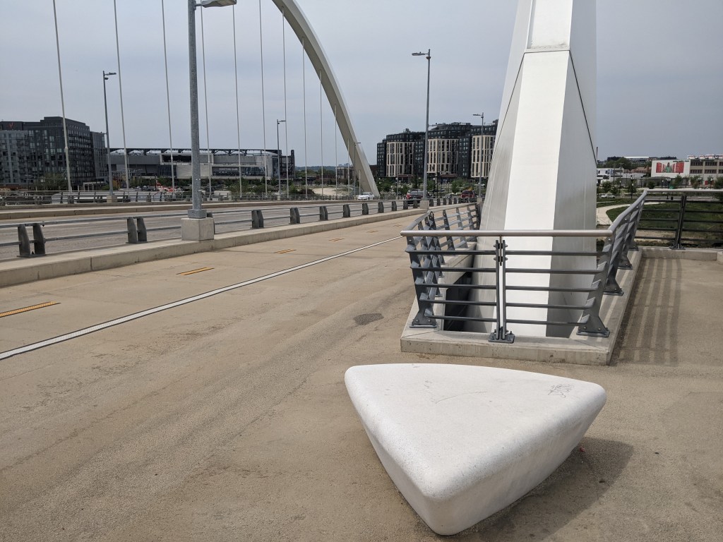
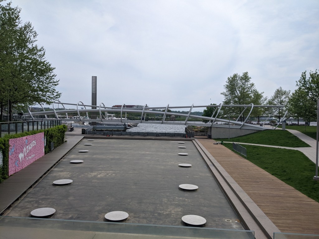
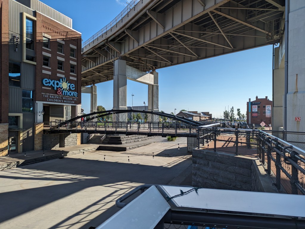
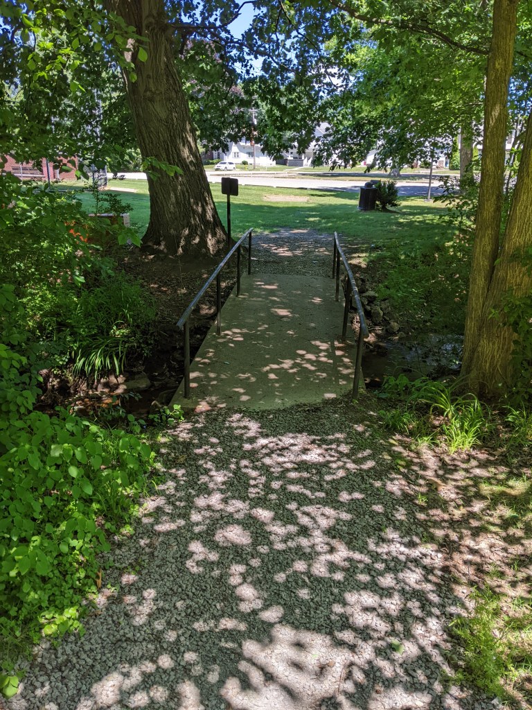
The open, through-arch Frederick Douglass Memorial Bridge was one of our expected encounters. I probably would have been ecstatic about the unexpected benches in the lookouts between the arches under previous circumstances. After all, it isn’t every day that you find a bench on a bridge. However, in the past, I probably would have just said “that’s cool,” photographed them, and moved on. Instead, I took full advantage of these seats for one of my rest and rehydration breaks. This slow down is the reason I spotted the Yard Park Bridge, a bridge I definitely needed to add to my collection.
Perhaps slowing down and being more intentional to accommodate my Long COVID needs will continue to add depth to my urbantraipsing experiences.
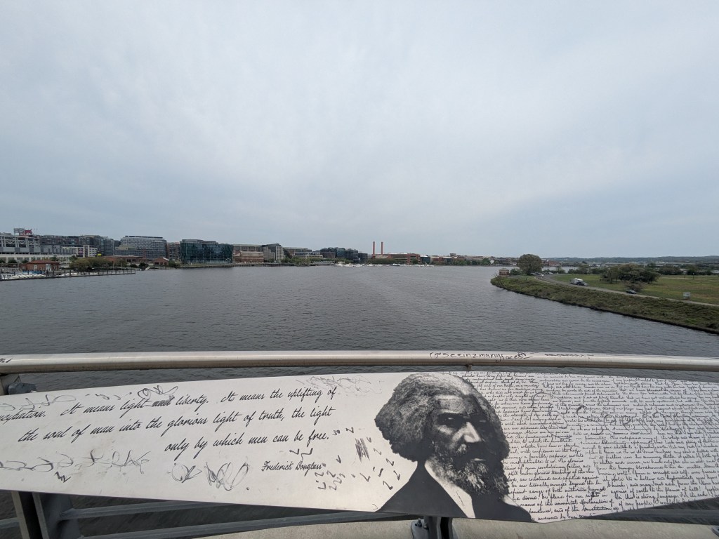
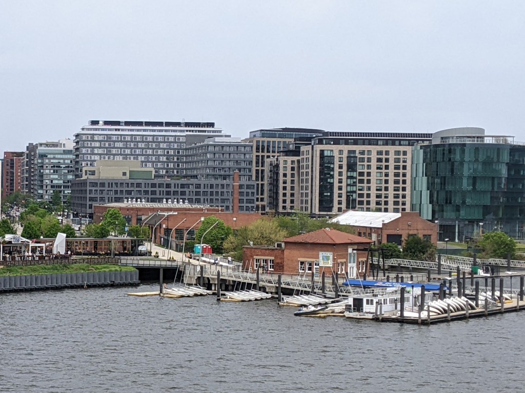
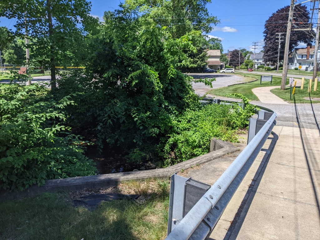
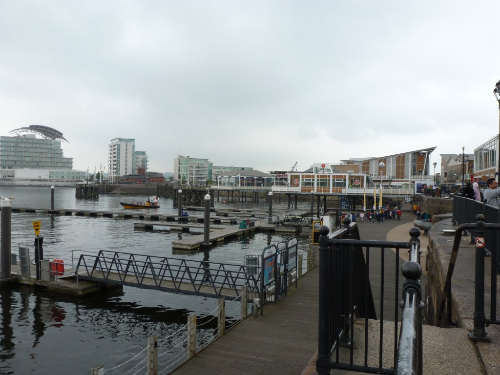
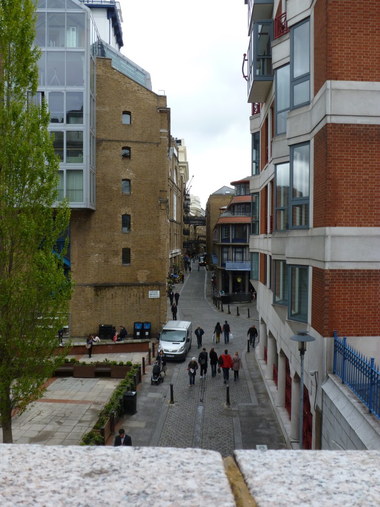
The Anacostia Riverwalk Trail crosses over the openings of several canal channels within a short distance from the Frederick Douglass Bridge in Washington, DC. The first canal opening that I walked over, I had no idea that I was walking on a bridge…like when I walked over the Grosvenor Canal in London. It wasn’t until I was checking out the views from the Frederick Douglass Bridge that I saw the opening for the canal underneath the path I had just walked. (First picture in the slide show below.)
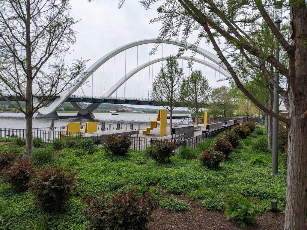
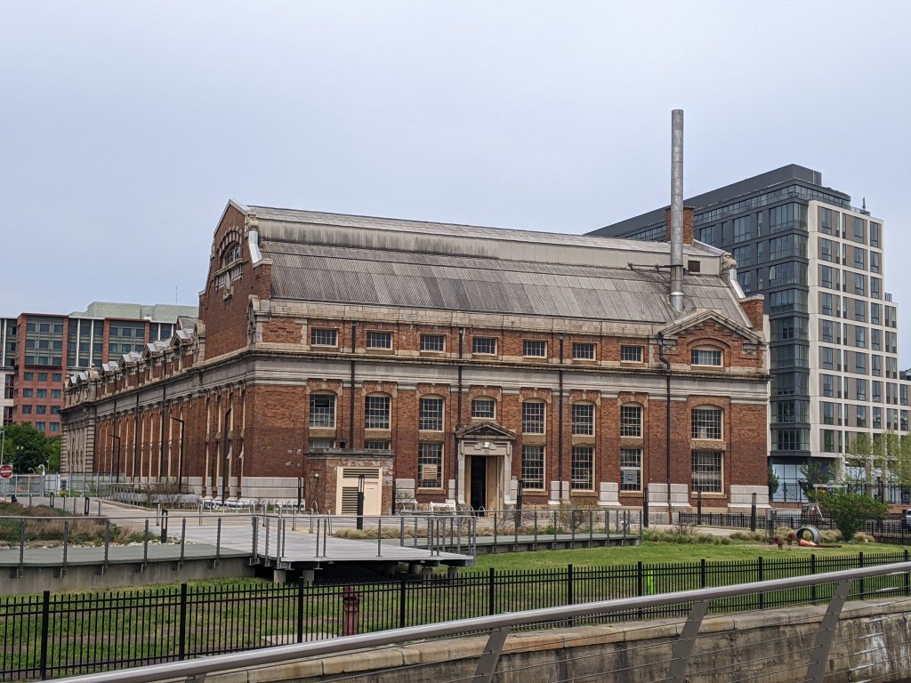
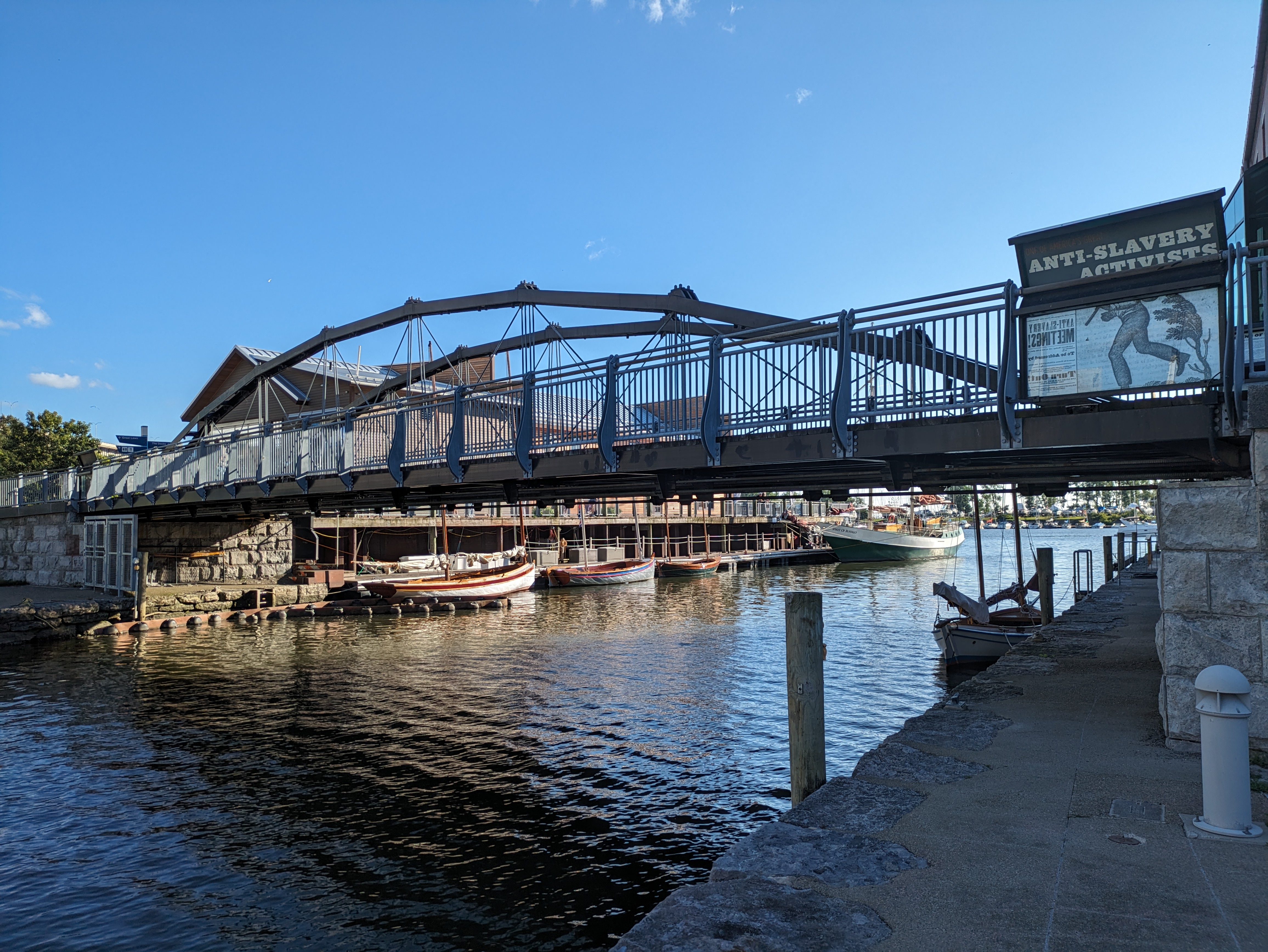
The bridge pictured above appears to have been over a canal that fed into or out of (or both?) the old O Street Pumping Station. This bridge was clearly visible as we walked passed it on our way to the Frederick Douglass. I was tempted to cross it (as a bridge walker, it is hard to walk passed a bridge and not over it), but I was tired and trying to conserve energy. However, once on the Frederick Douglass Bridge, I spotted another pedestrian bridge just beyond this one that I could not pass up the opportunity to walk, no matter how tired I was.
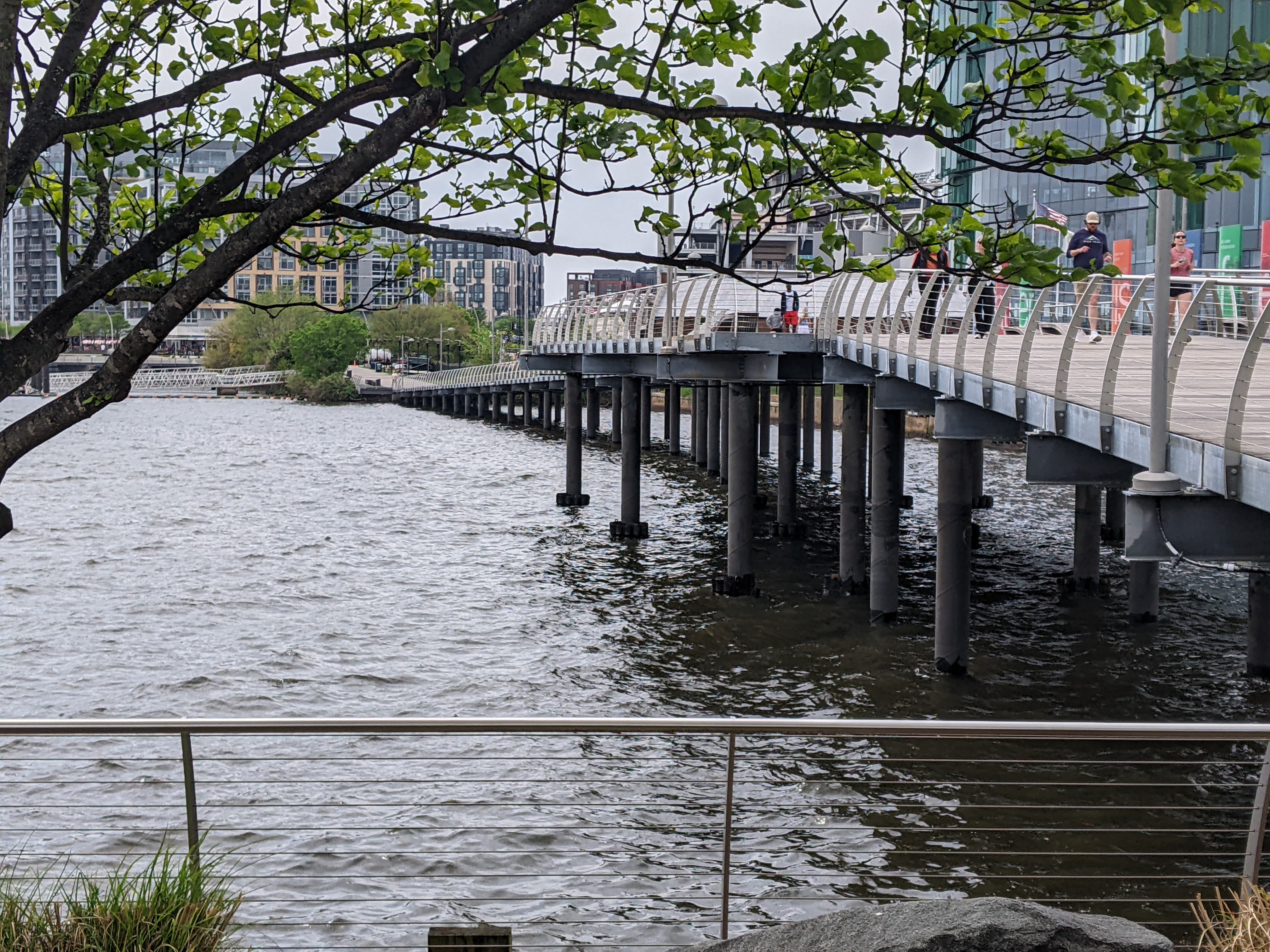
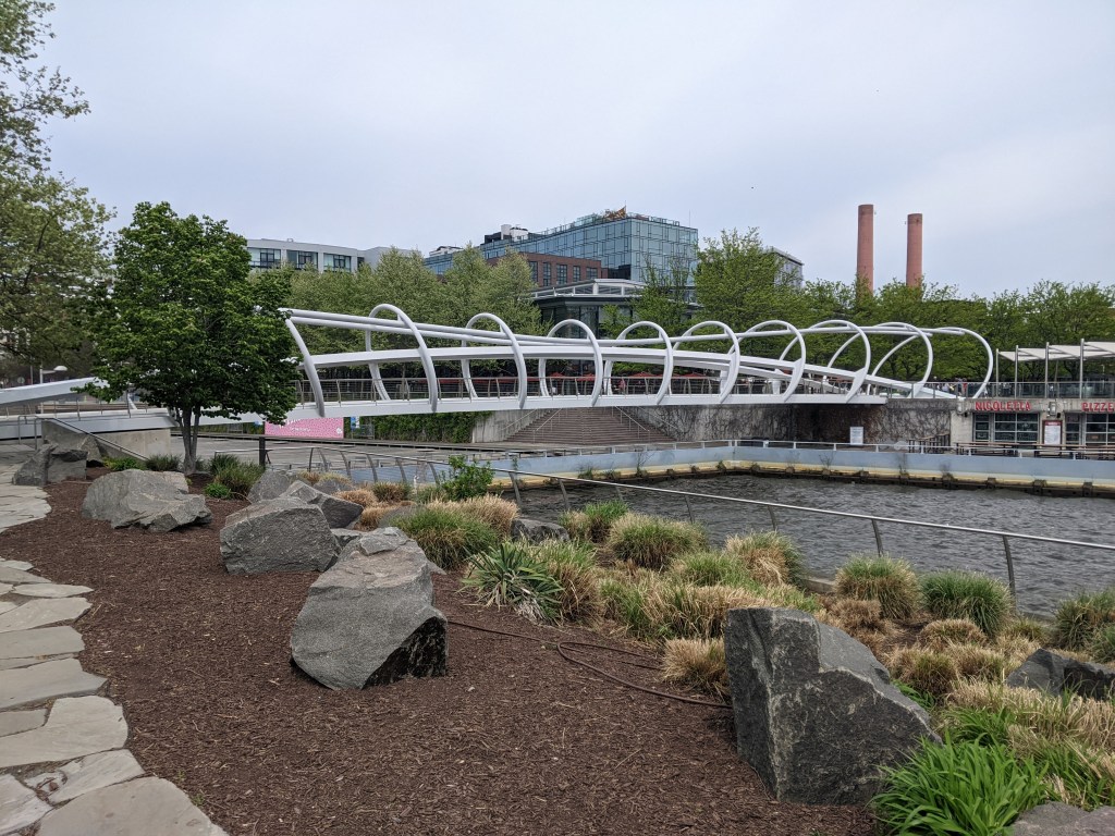
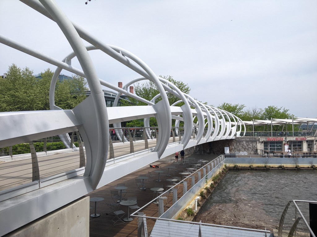
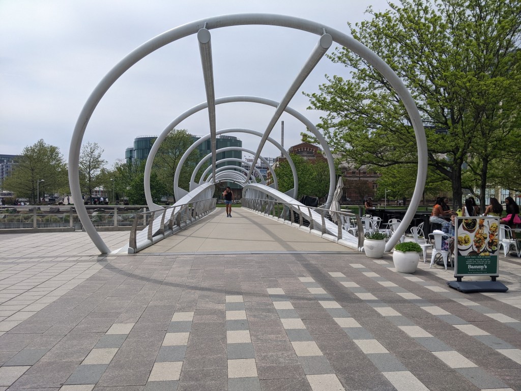
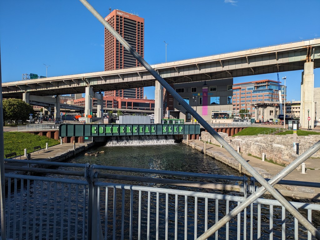
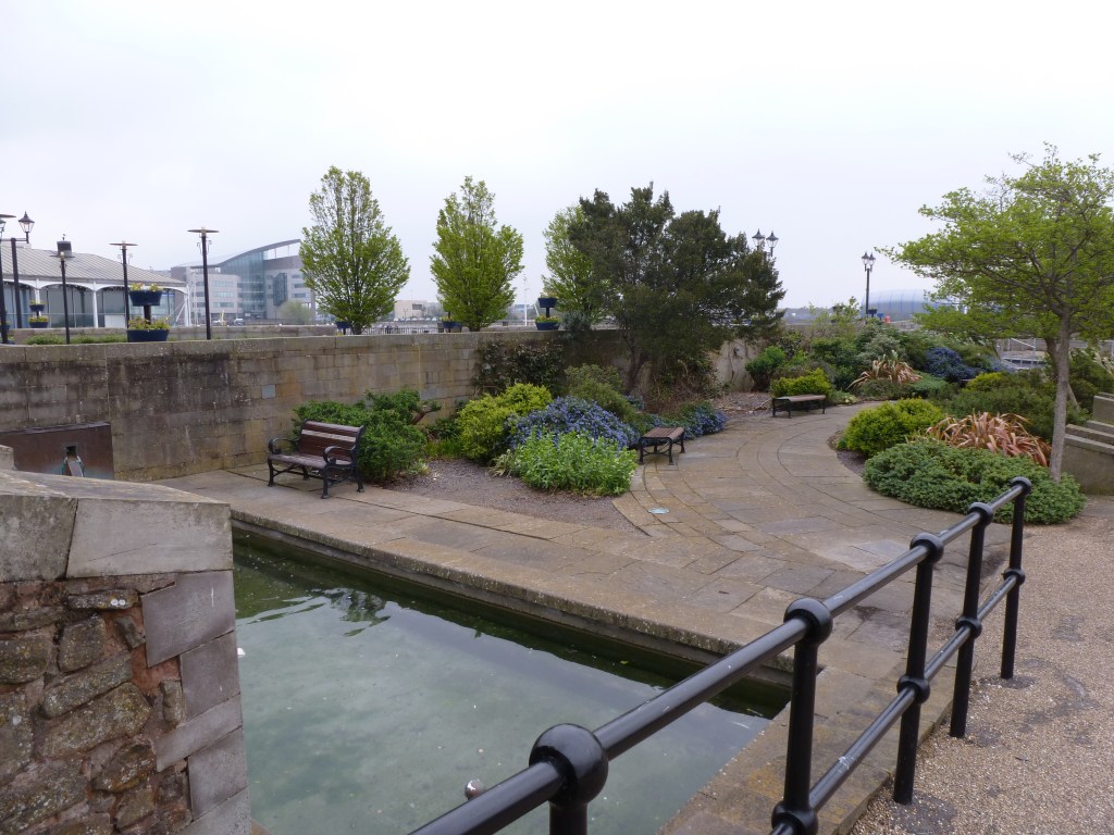
The Yard Park Bridge is a highly photogenic bridge, perhaps rivalling London’s Millennium Bridge. It crosses over what I think are the remnants of the Washington City Canal, most of which has been paved over. The paved portion visible from the Yard Park Bridge reminded me of the portions of the Erie Canal in Buffalo paved over for a skating rink and other recreational purposes.
Bridge over an unknown canal
Old O Street Pump Station
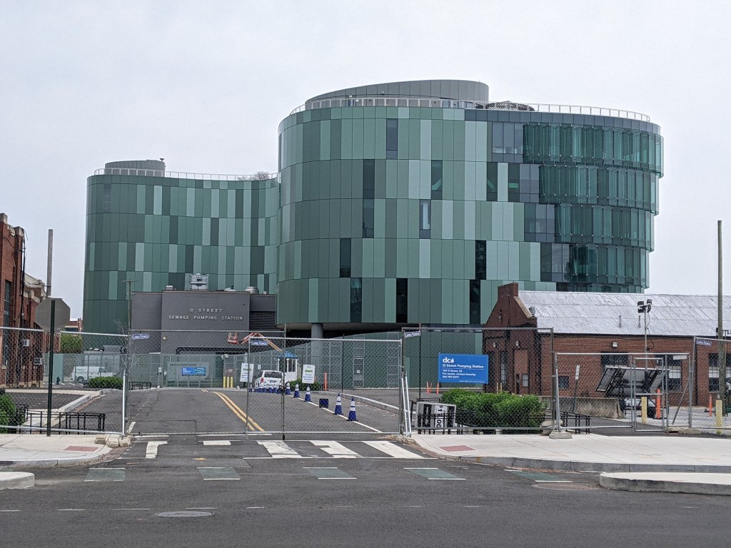
New O Street Pump Station
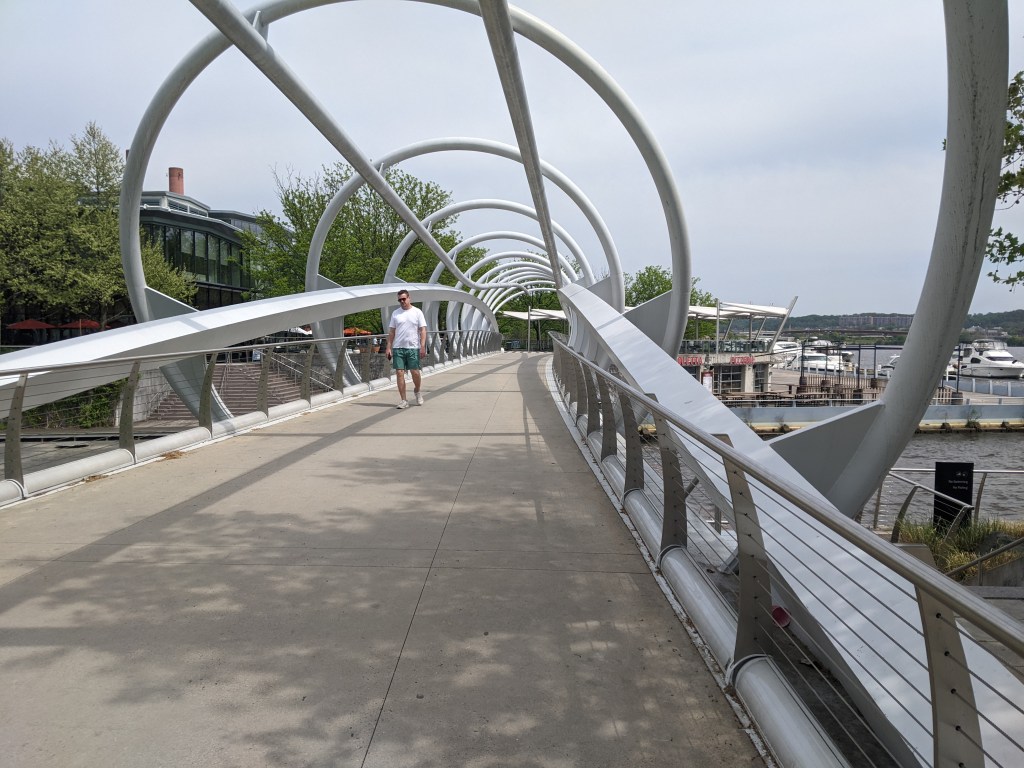
Yard Park Bridge exterior 1
Yard Park Bridge exterior 2
Inside the Yard Park Bridge
Yard Park Bridge opening
Paved-over vestiges of the Washington City Canal 1
Paved-over vestiges of the Washington City Canal 2
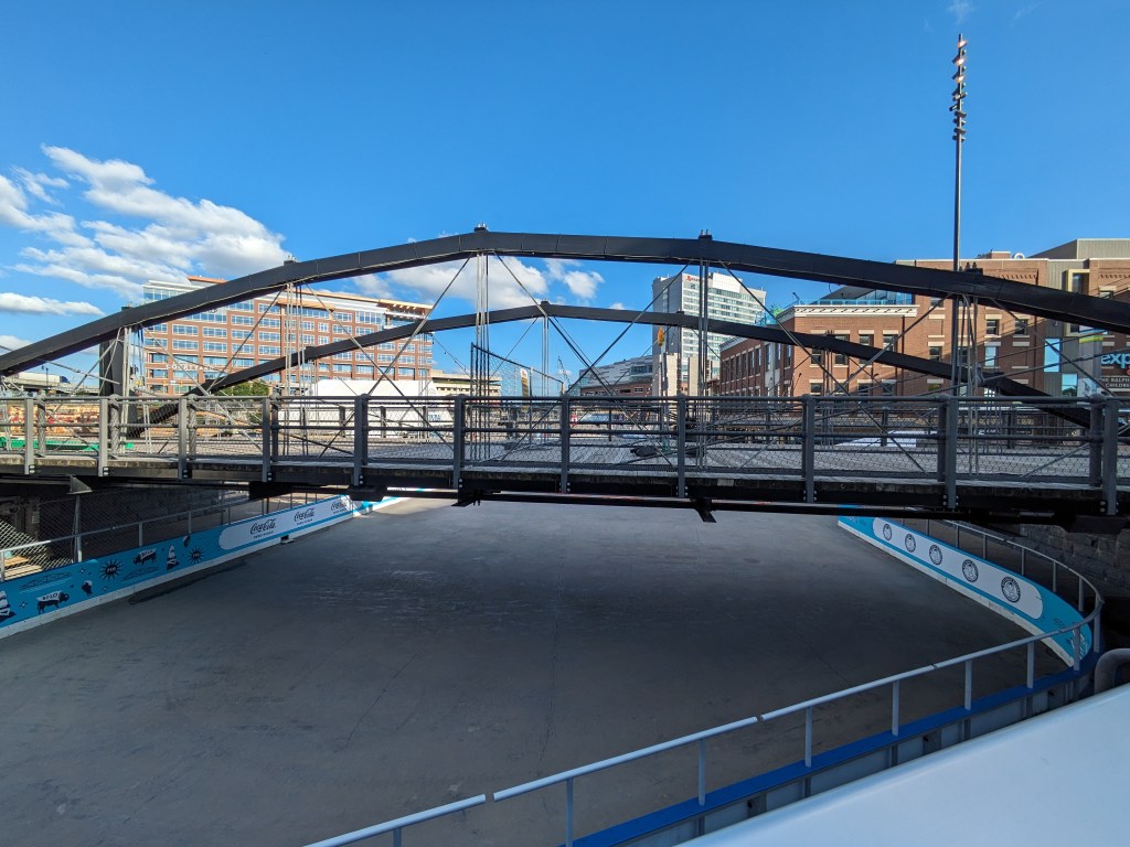
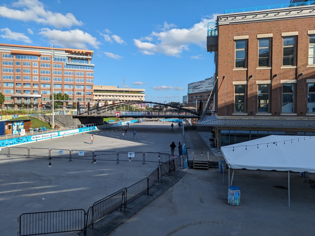
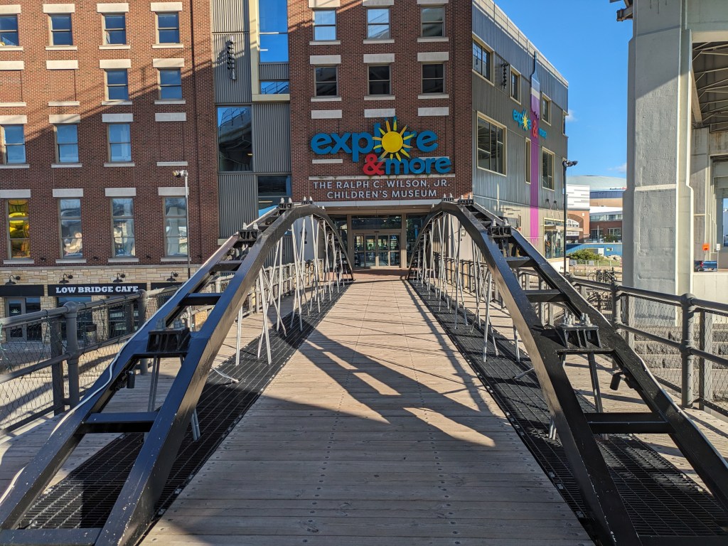
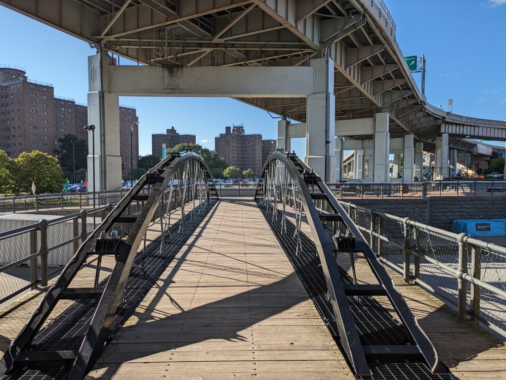
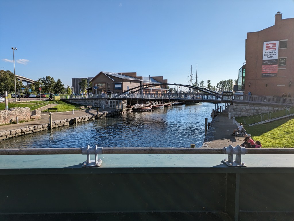
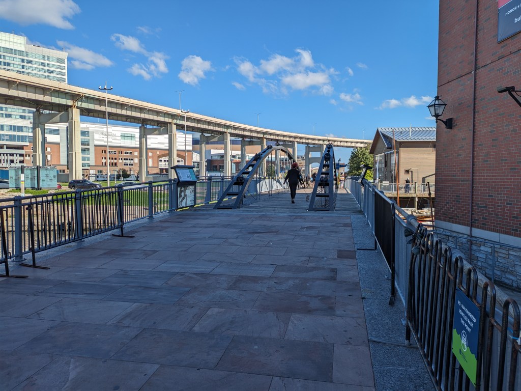
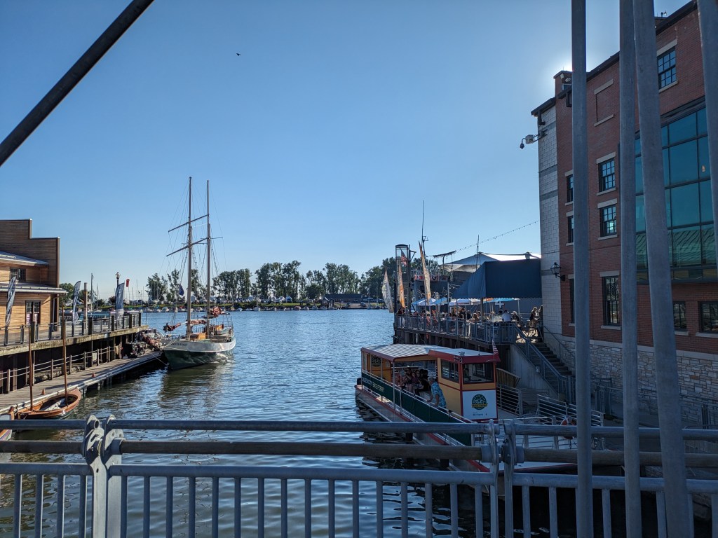
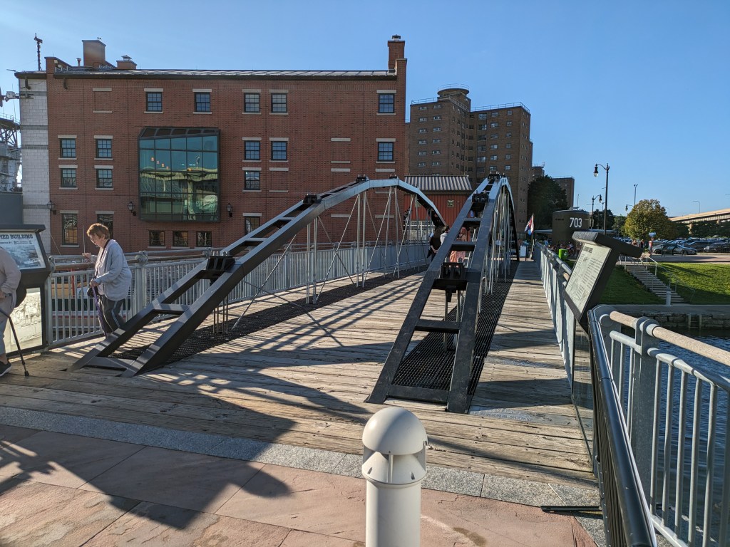
There are several pedestrian-only bridges at Canalside, Buffalo. They pass over the end of the Erie Canal, a portion of which has been paved over with a skating rink. When I was there, one of these bridges was closed due to construction and I couldn’t figure out how to get to another one. I did walk over two others of these pedestrian bridges – one over the paved portion and one over the water portion.
I bought my first car in 2021. It ended up having a lot of problems. The first time I tried to drive to Erie, it started shaking like it was going to spontaneously break apart into a million pieces, just like a cartoon. Instead, it went into limp home mode and I turned around at the next exit, which was the middle of nowhere. After several repairs and a period of no further incidents, the following year I was ready to try again. But first, I tested the car to see if it could handle Rt. 79.
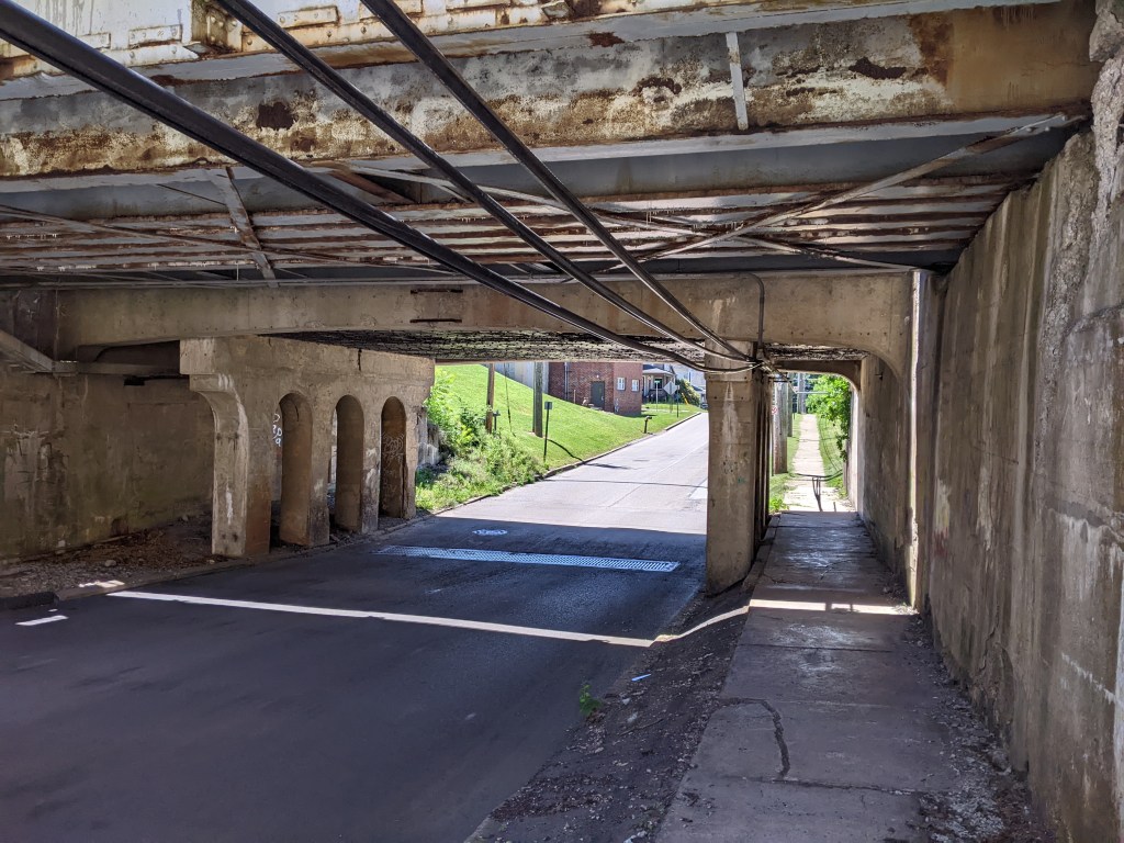
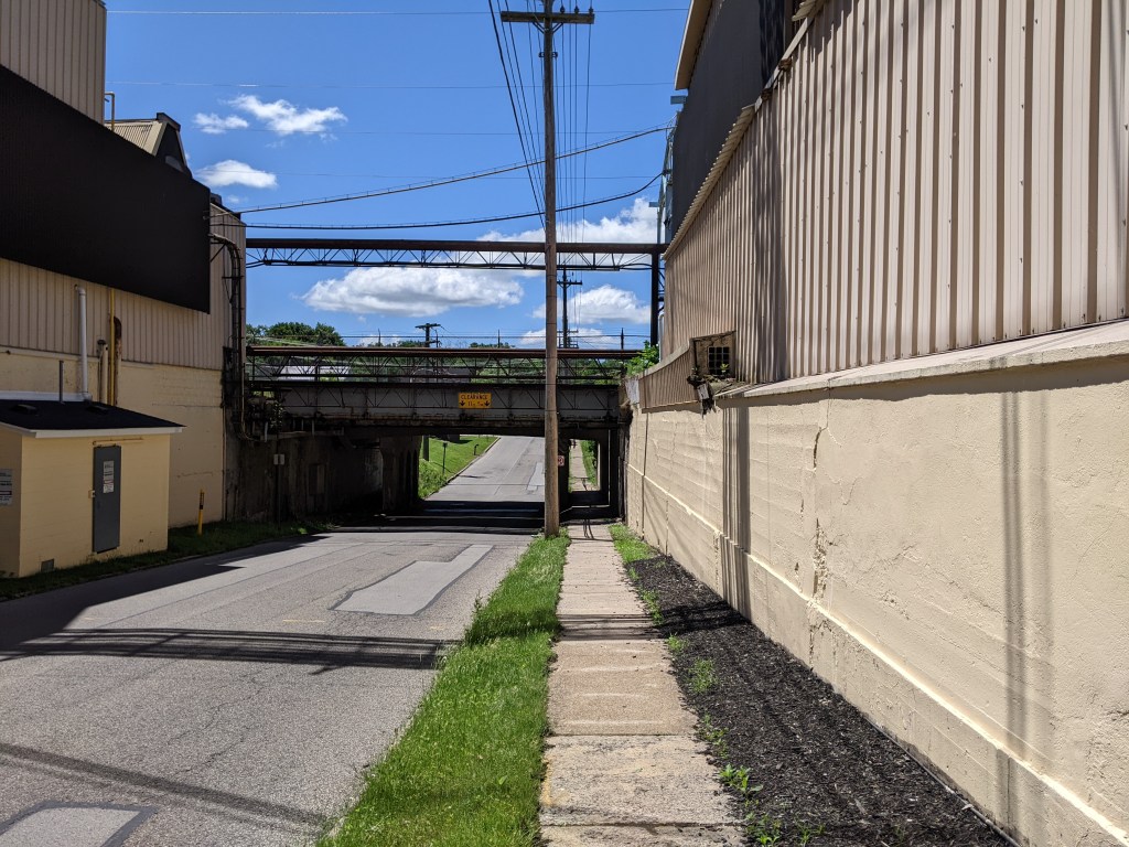
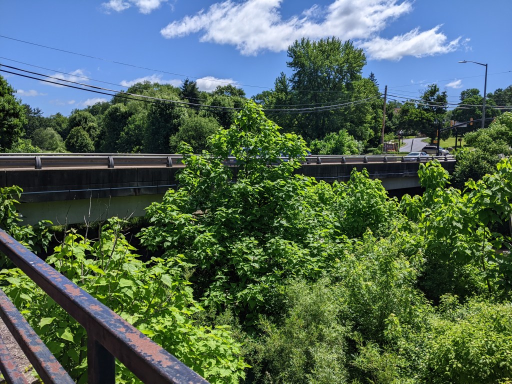
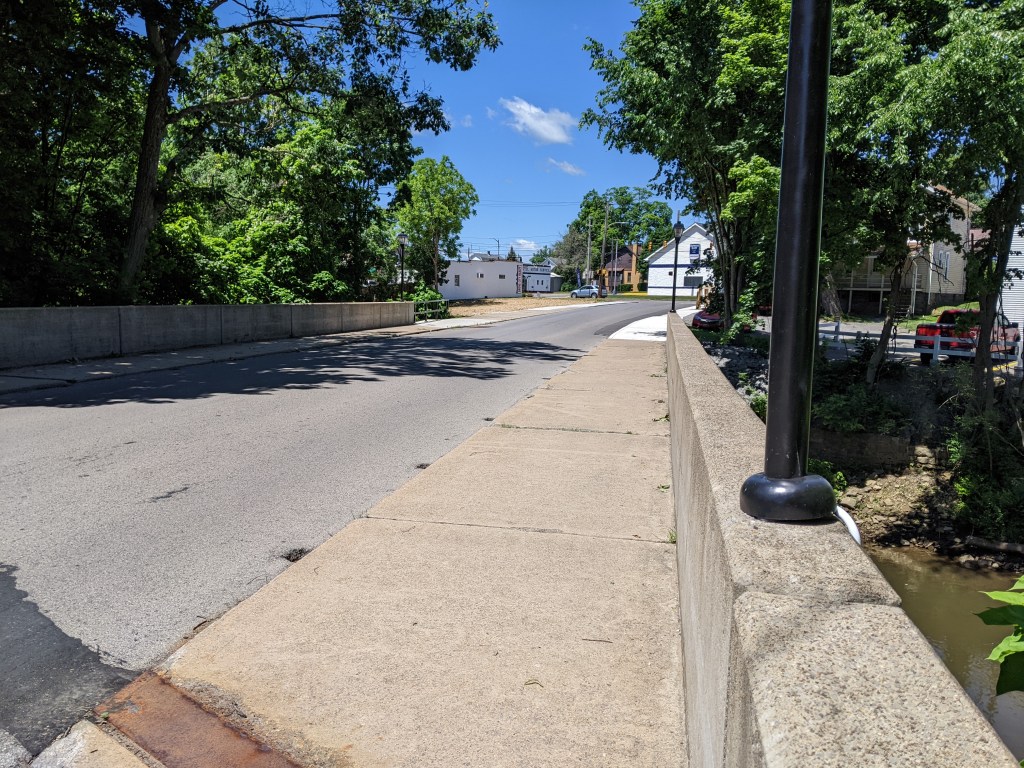
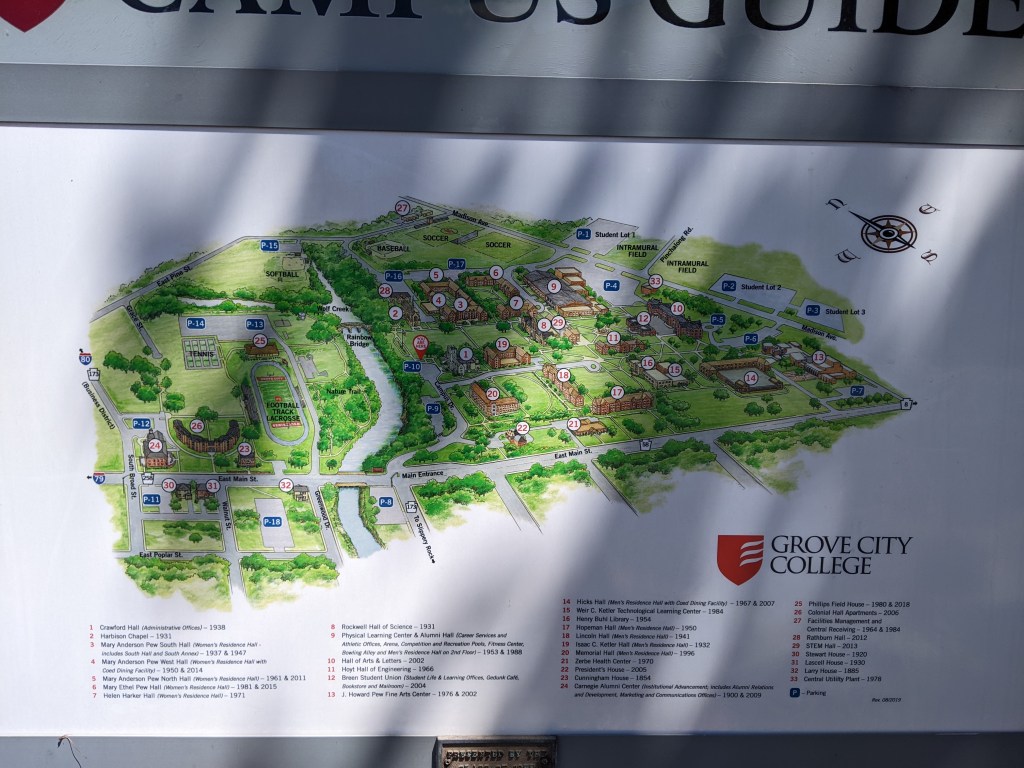
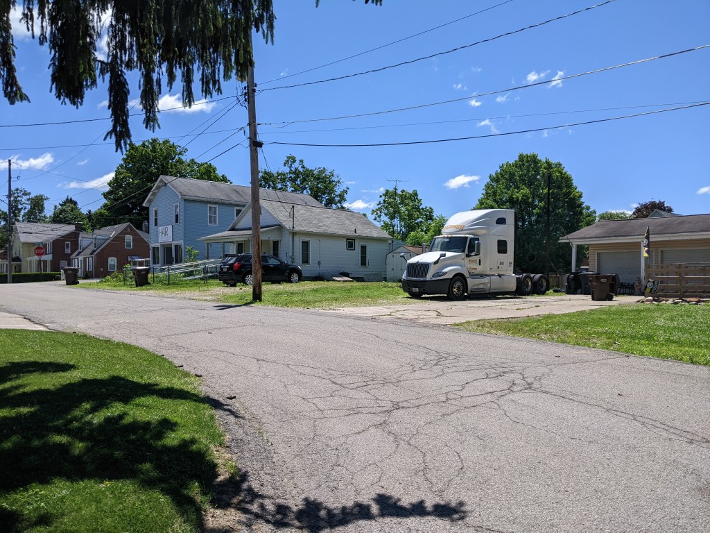
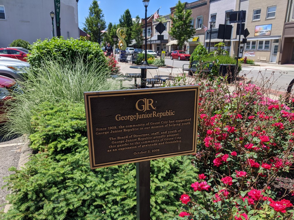
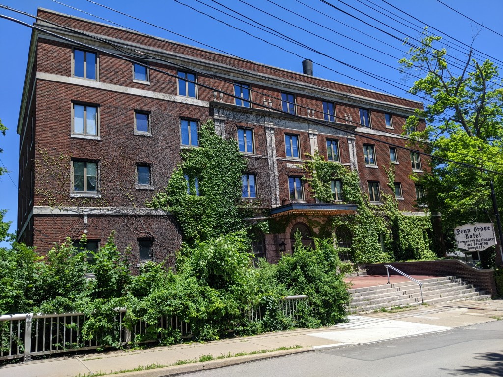
I knew of Grove City as an exit about halfway to Erie and as the closest outlet mall to Pittsburgh. I decided to aim for the actual Borough of Grove City1 as a destination to explore while testing my car’s ability to handle the speed limit and hills of Rt. 79. Naturally, since I arrived safely and knew nothing about the town, I set out to walk the bridges.
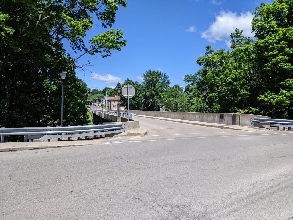
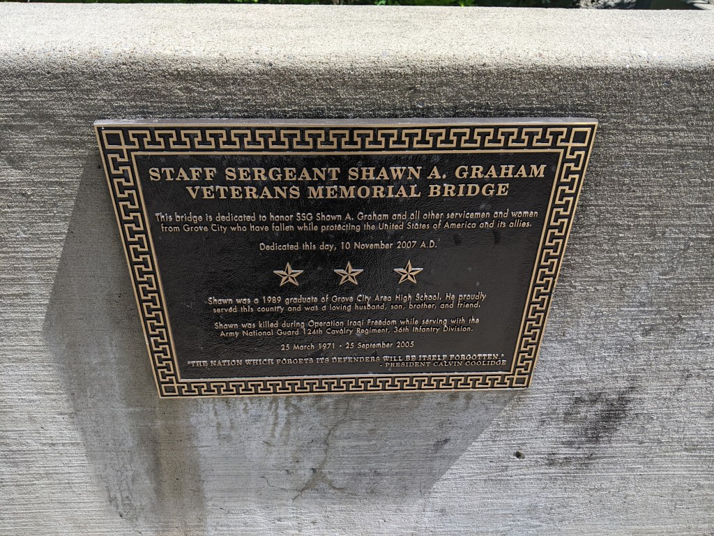
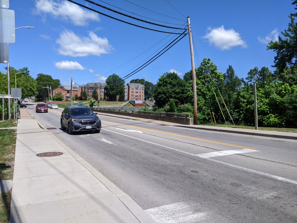
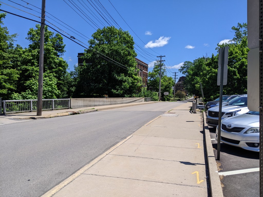
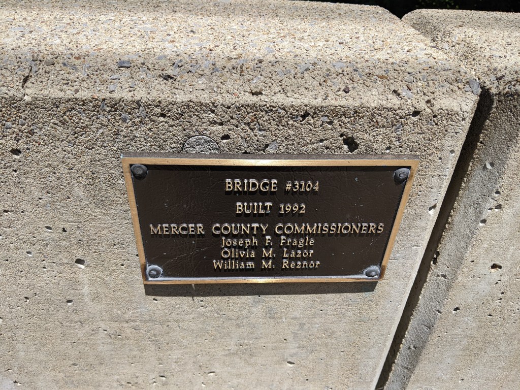
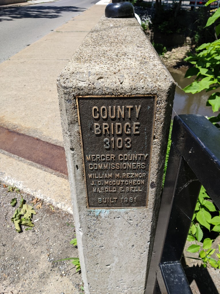
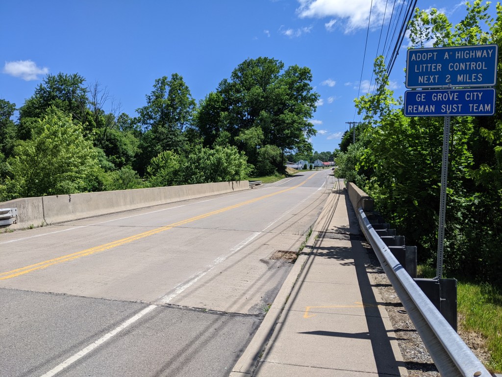
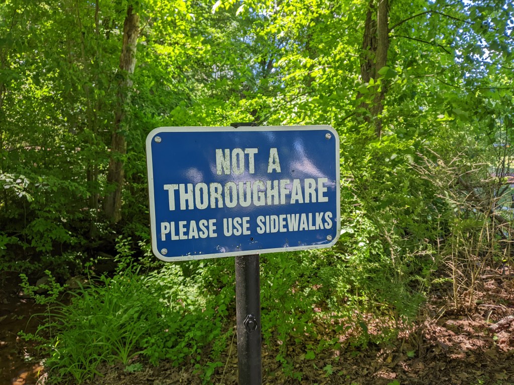
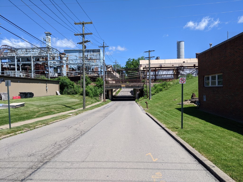
A town of 2.7 square miles and less than 8,000 residents, Grove City has several bridges over Wolf Creek and elsewhere. Unfortunately, the town’s premier pedestrian bridge, Rainbow Bridge (pictured above), was closed due to construction activities in the area. I discovered a second, unmapped pedestrian bridge over a small tributary to Wolf Creek, which I crossed only to see a sign on the other side claiming the bridge was not a throughway and directing people to use the sidewalks on the street to reach Grove City College’s main campus.
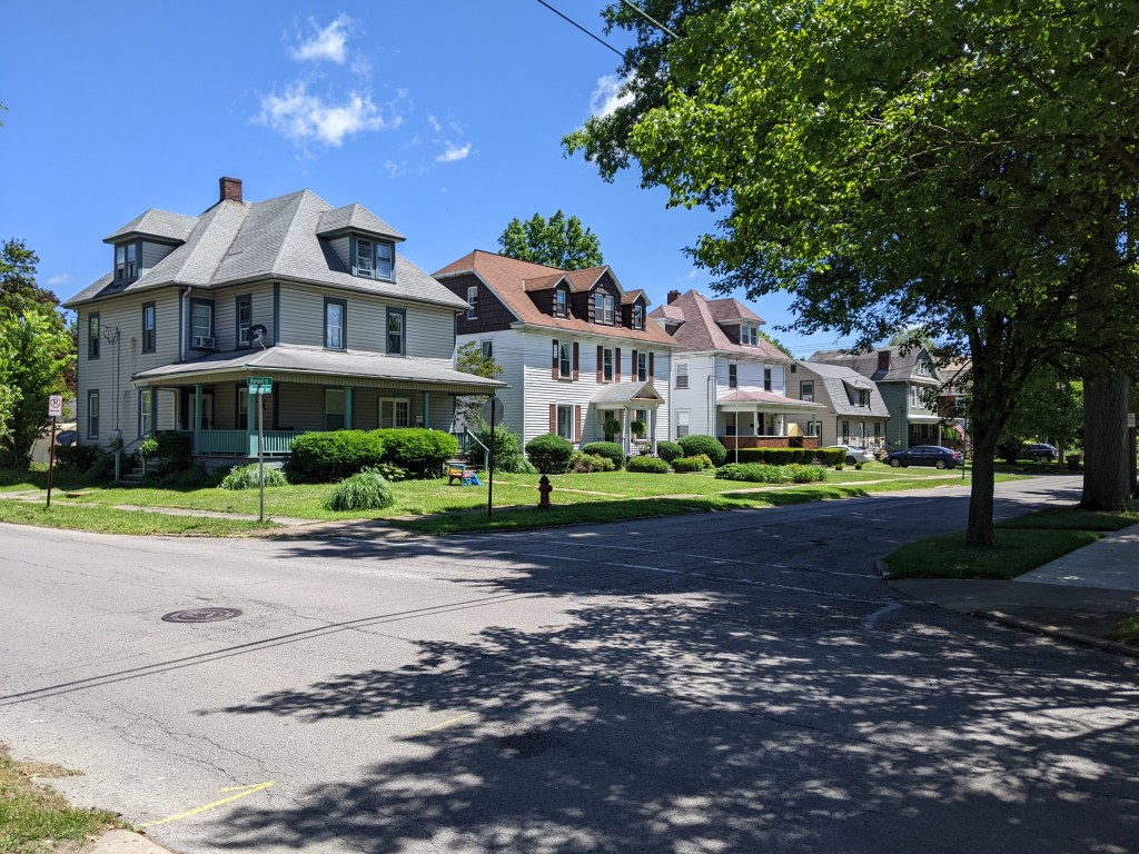
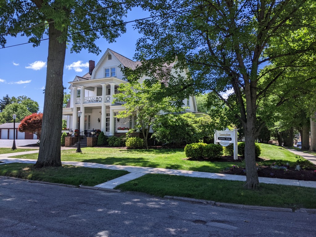
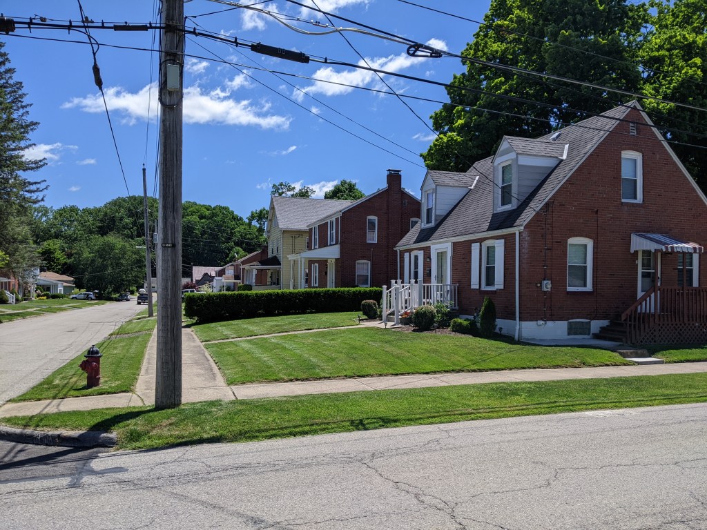
While the bridges themselves were structurally uninteresting, except for the Rainbow Bridge, I visited a throughout cross-section of town in walking them….which is the point of my bridge walking habit. My path took me through the college campus, the now less prominent industrial area, the large homes built for the boss class of the industries, the small homes built for the industrial workers, and the business district, both the car oriented portion and the historic portion. There are several bridgeless neighborhoods that I did not visit, but even without them, I learned a lot about the town in a short space of time.
Grove City Bridges
Grove City Cross-Section
I don’t know if this is true in other states, but Pennsylvania lets municipalities of any size call themselves cities. ↩︎
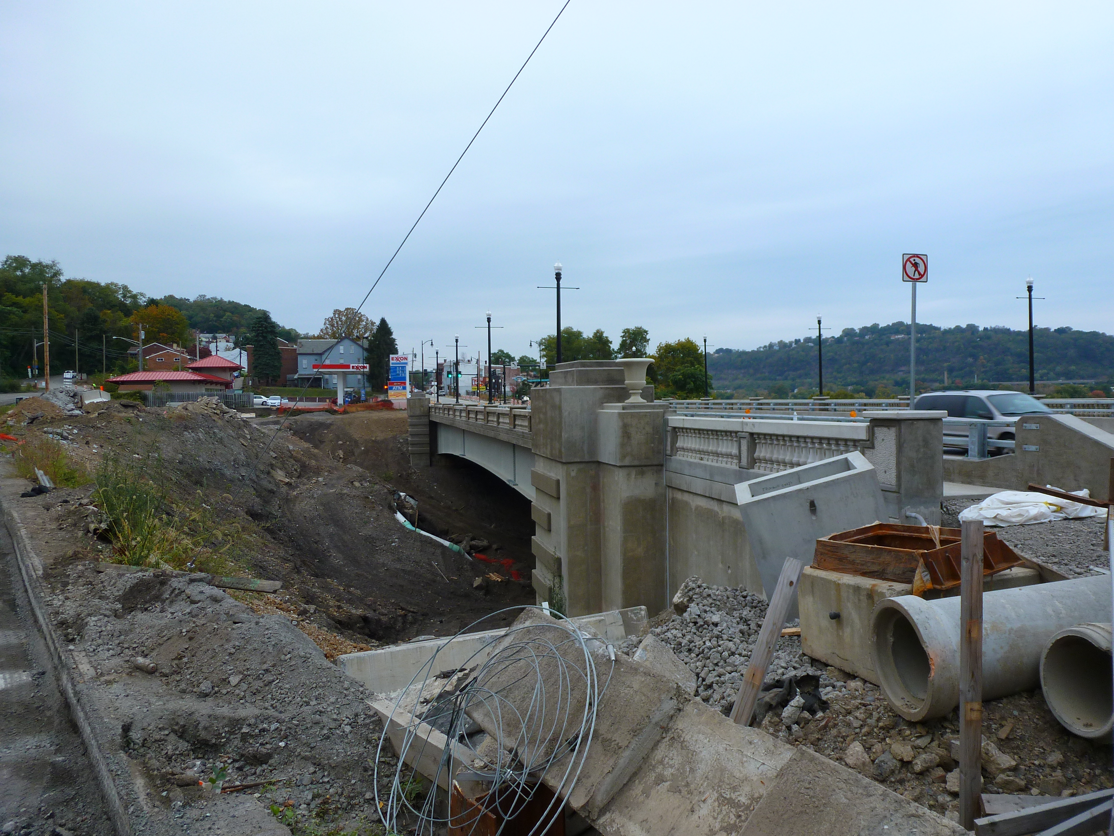
Bridges are a vital connectors that enable us to move around as we live our lives. Frequently, we don’t even realize there’s a bridge there…at least not until there’s a bridge disaster. Over the last few years, there have been several bridge disasters, some due to accidents, like the collapse of Baltimore’s Francis Scott Key Bridge in March 2024 after being struck by a malfunctioning container ship, and some due to deferred maintenance, like the collapse of Pittsburgh’s Fern Hollow Bridge on an icy, cold morning in January 2022.
We have seen recently that when there is motivation, the missing links caused by bridge disasters can be repaired in record time. Pittsburgh’s Fern Hollow Bridge was completely rebuilt and opened to traffic 11 months after collapsing, instead of the usual multi-year process to design and build a new bridge. In Philadelphia, when an elevated section of I-95 collapsed after an accident in 2023, the repaired section reopened to traffic 12 days later, compared to 26 days for a similar situation in Oakland, CA. (PBS News, June 23, 2023)
Despite President Biden’s repeated request to Congress to expedite funds to replace Baltimore’s Francis Scott Key Bridge, Republicans in Congress are possibly motivated to delay so that President-elect Trump will get the credit for rebuilding this crucial transportation link. (Fox News Baltimore, November 8, 2024; WCBM, November 8, 2024) Unfortunately, Trump does not have a good track record for funding bridges.
It can be easy to overlook during the buzz of election season that there is often a delay between when a law is signed or a policy adopted and when the effects of that law or policy are felt. Bridges encapsulate that well. The memorable moments are when a bridge closes or collapses (typically viewed negatively) and when a bridge reopens (typically viewed positively). The moment when funds are allocated, the moment enabling a bridge to reopen at a later date, is not often remembered.
For example, it was front page news when the new Greenfield Bridge reopened in 2017, when Trump was President, but the funding that constructed the bridge was allocated when Obama was President. Similarly, the Charles Anderson Bridge has been closed to traffic for most of President Biden’s term in office, to the annoyance of many, but that is also when the funds were found to rehabilitate the bridge expanding the life of this historic bridge by decades. However, the reopening is projected to be in 2026, in the middle of Trump’s second term as President.
Assuming two years as the average time from funding to reopening on bridge reconstruction and rehabilitation projects, I pulled the Federal Highway Administration’s numbers for bridge construction and rehabilitation in Pittsburgh that would have been funded under the leadership of Presidents George W. Bush, Barack Obama, and Donald Trump. (FHWA InfoBridge) Given the delay between funding and completion, it is too early to measure the impact of funding under President Joseph Biden’s leadership.
Bush: 36 bridges total = 4.5 bridges per year
Obama: 76 bridges total = 9.5 bridges per year
Trump: 9 bridges total = 2.25 bridges per year
Bridge maintenance and repair rarely happens without support from federal funding. When the bipartisan infrastructure bill passed under President Biden’s leadership runs out of funds, or those funds get diverted to Project 2025, I am skeptical that new funding for bridges will be found under the leadership of President-elect Trump. Therefore, I expect more bridge disasters or, at the very least, more indefinite bridge closures in the coming years.
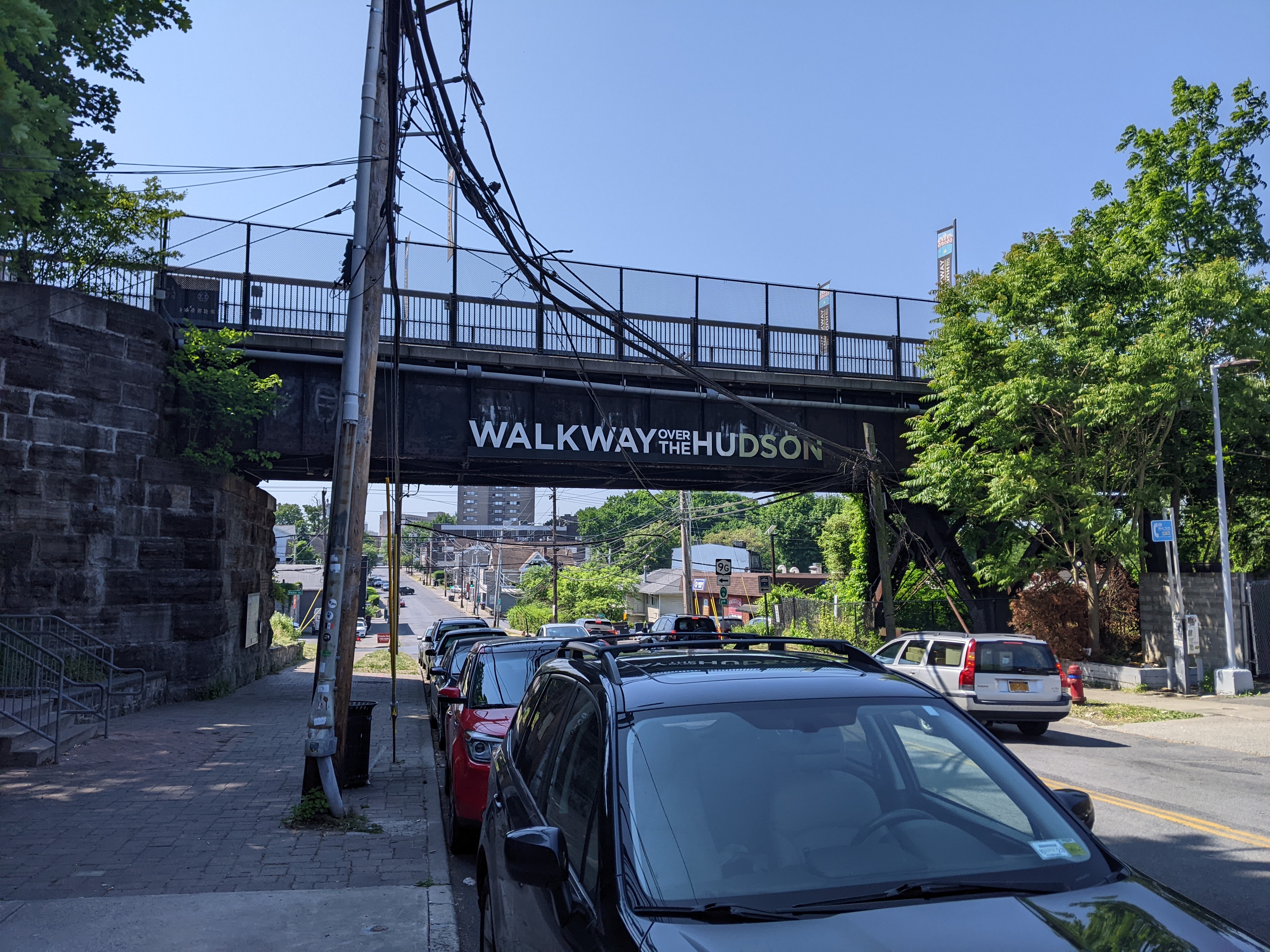
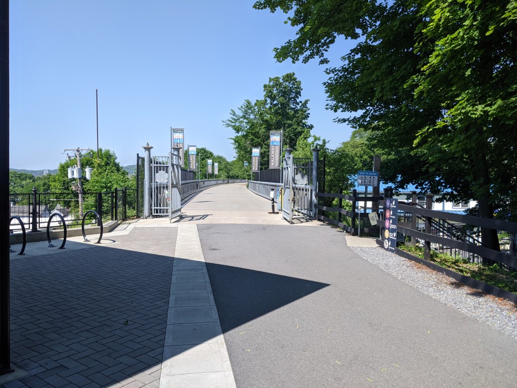
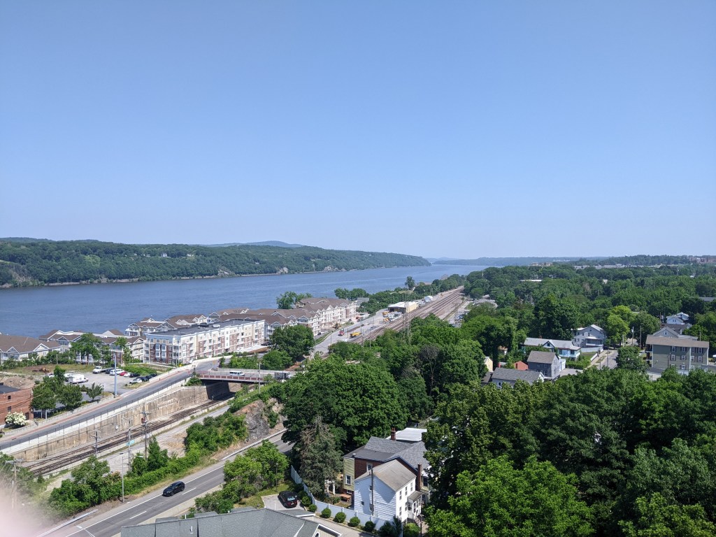
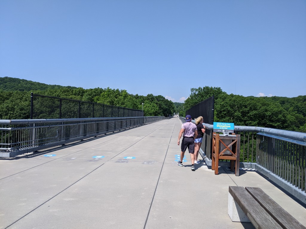
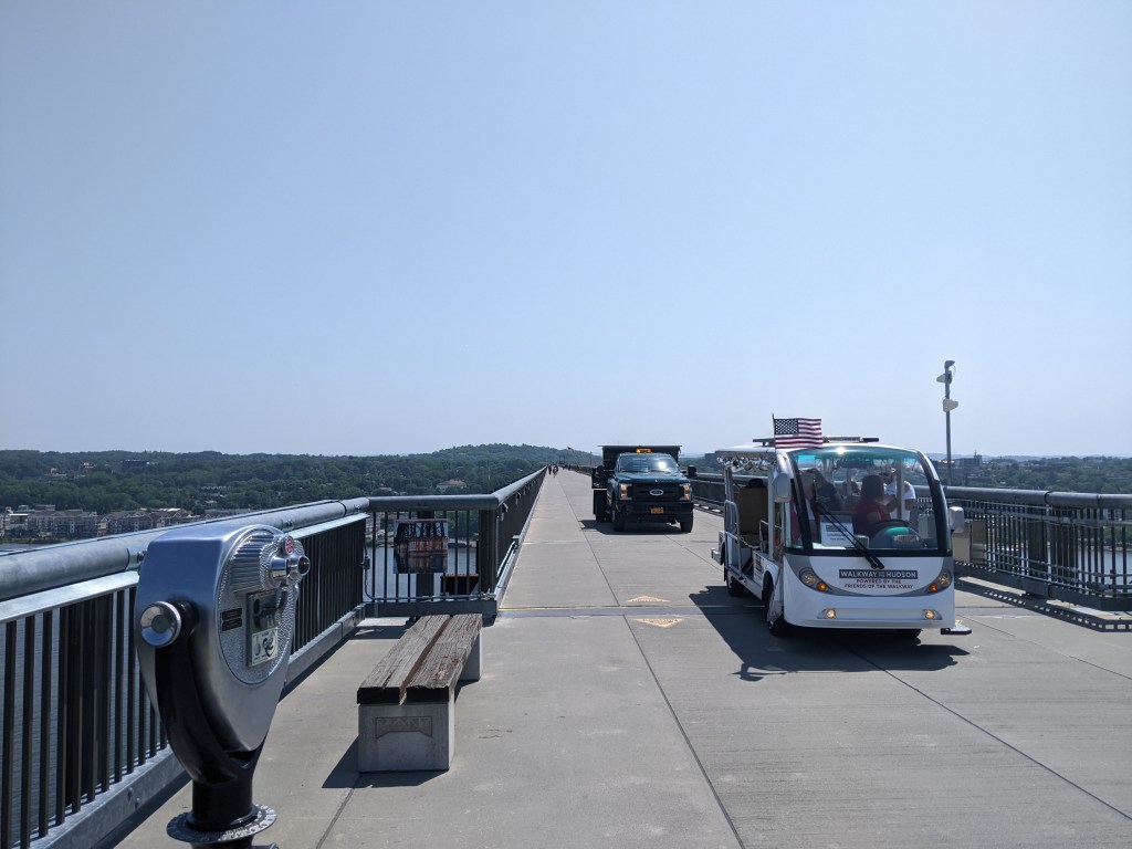
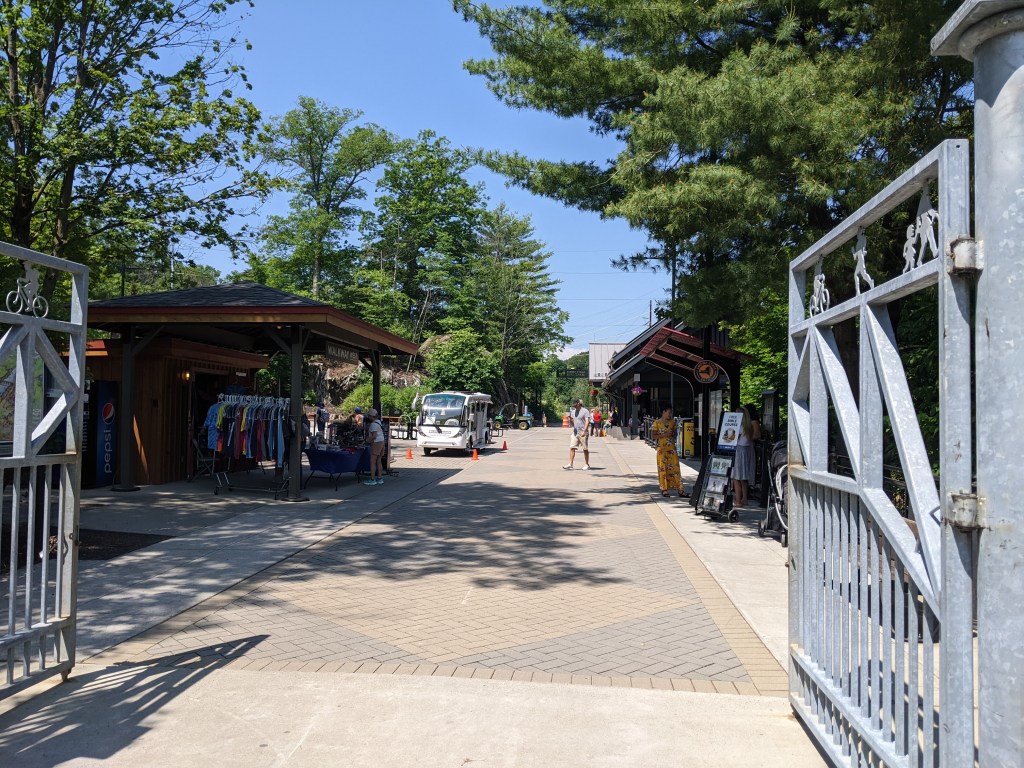
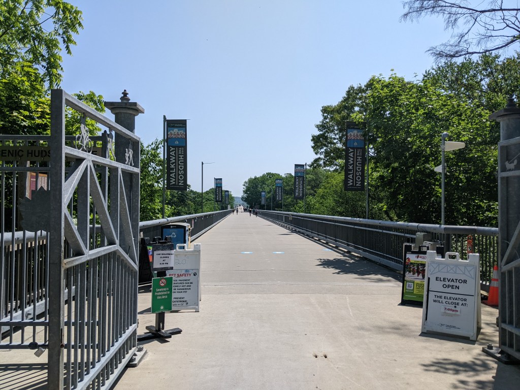
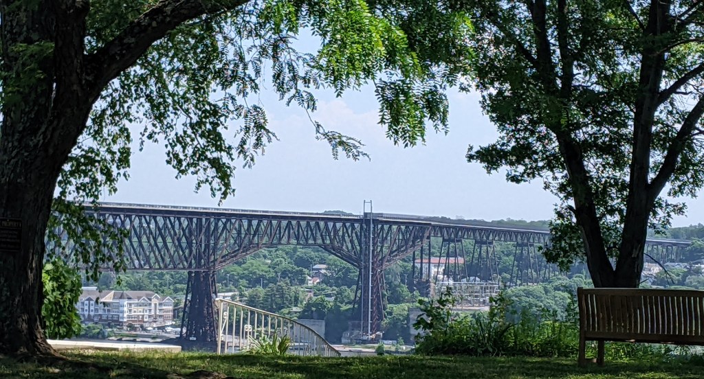
I don’t remember how I first heard about the Walkway Over the Hudson, but it was several years before I developed the habit of walking bridges. Even at that time it sounded like a cool place to check out. Once I became a bridge-walker, it became a must-experience site. Over a decade later, I finally walked the Walkway Over the Hudson.
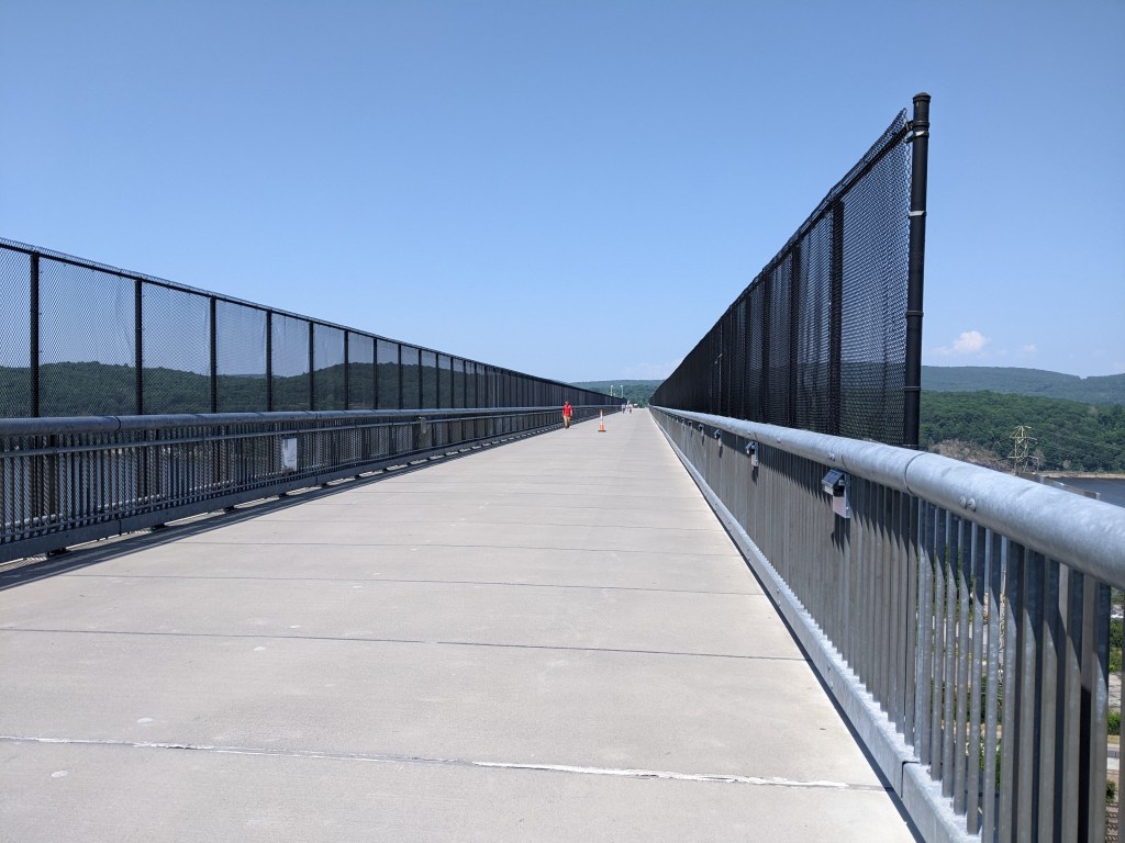
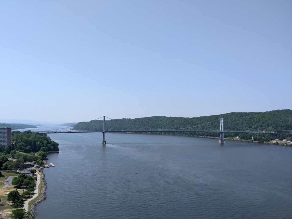
The Walkway Over the Hudson crosses the Hudson River at Poughkeepsie, NY. It opened in 1889 as a railroad bridge. It closed in 1974 after being damaged by fire and reopened as a renovated pedestrian bridge in 2009. It is both a National Historic Civil Engineering Landmark and on the National Register of Historic Places. At 1.28 miles it claims to be the longest pedestrian bridge in the world.
It is also 212 feet above ground or river level. In discussing my experience of climbing to the top of St. Paul’s Cathedral in London, I glossed over the fact that I almost didn’t reach the top due to my discomfort with heights and instead focused on the fact that claustrophobia almost prevented me from coming back down. Proportions and railing heights have a significant impact on whether I can manage heights. The Whispering Walk inside the base of the dome in St. Paul’s was too narrow and enclosed for me to handle the height above the floor (98 feet). The Walkway Over the Hudson, on the other hand, was quite wide having once carried two railroad tracks side-by-side. And so despite being more than twice as high up as the Whispering Walk, I did not experience much trouble with the height. I was more concerned about the possibility of the wind tearing my phone/camera out of my hand and over the edge.
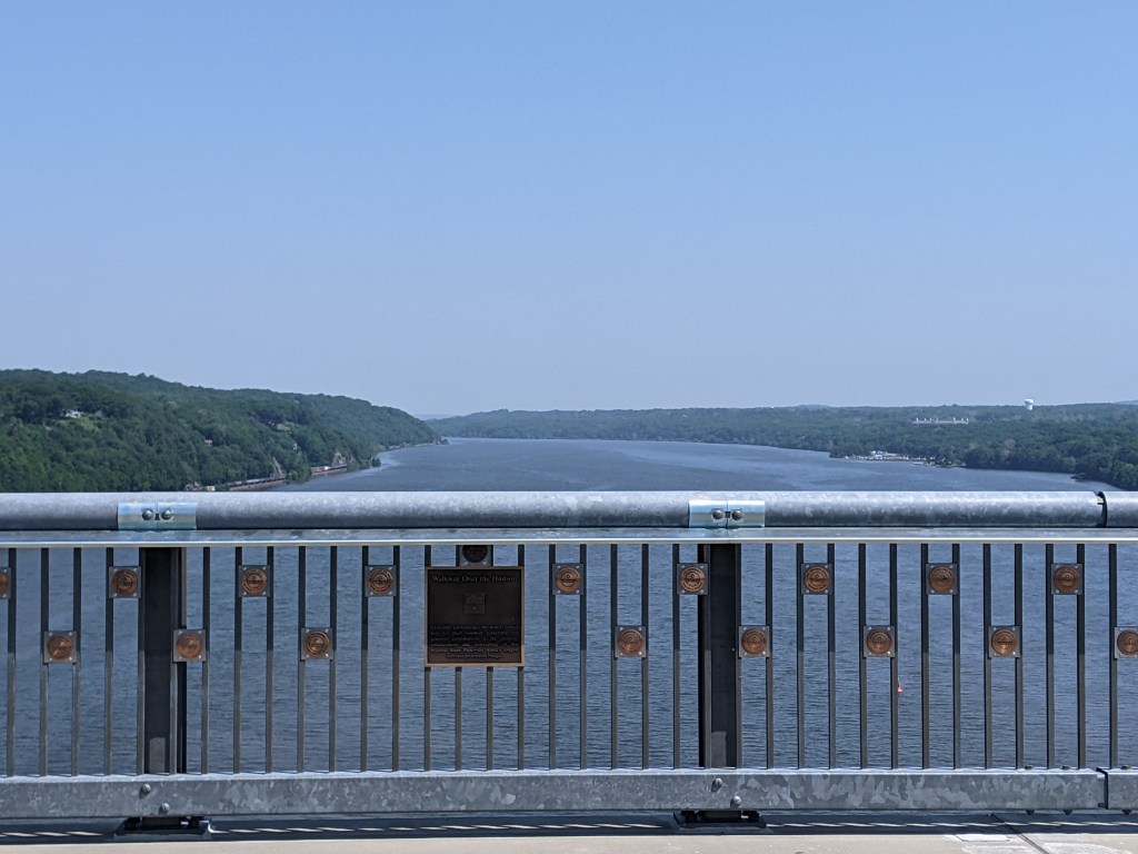
Despite the potential damage that objects falling off the side of the bridge could cause, extra high barriers to prevent that are only located over the railroad tracks. As I’ve discussed in previous posts, some bridges have extra fencing only along portions of their walkways, typically over railroads and sometimes over automobile roads. The extra fencing on the Walkway Over the Hudson is from a time after it was common to curve the top, creating a cage-like feel, but before the need for extra height was incorporated into the design of the bridge itself.
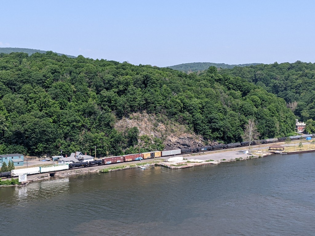
There is no shade on a deck-truss bridge 212 feet off the ground. On a hot, July day, you feel the full force of the sun when taking such an exposed 1.28 mile walk starting at 11:30. If I hadn’t discovered that there was another bridge that I could walk across, I probably would have opted to take the shuttle back.
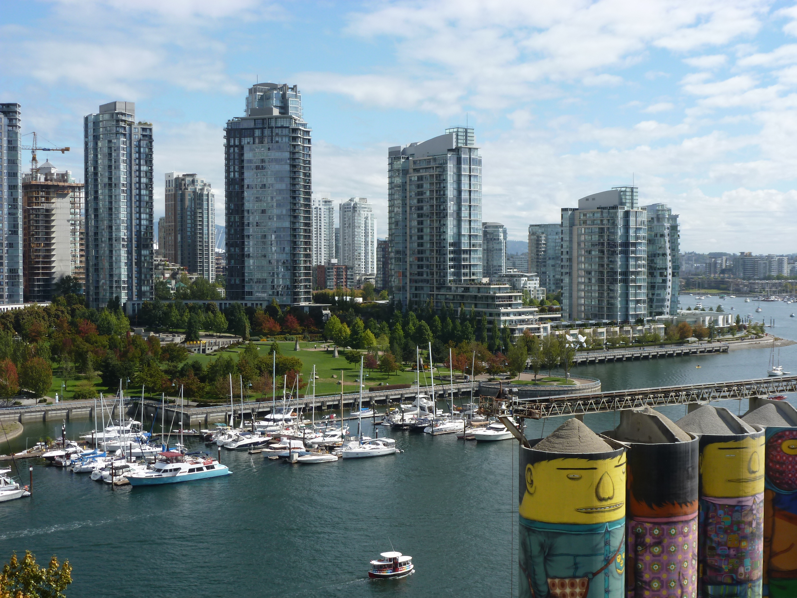
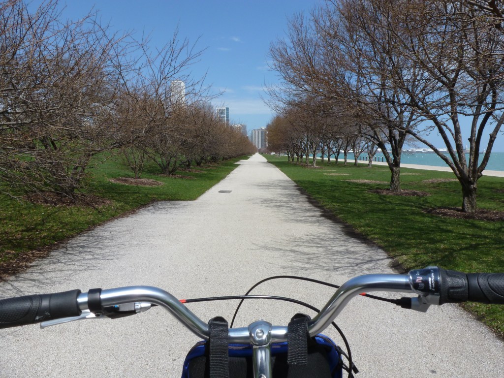
Adrenaline is a powerful force. When I arrived in Vancouver in 2016, I bounded with energy despite only having slept 4 hours in the previous 36. After dropping my stuff off at my lodgings, I rented a bike and rode like a woman on a mission along the waterfront trail. Part of that mission was to burn off the adrenaline so that I would be able to sleep that night.
However, revisiting my photos and my recollections of this trip to write about the bridges and greenery, I’ve been haunted by the thought that there was an additional mission to that bike ride. I distinctly remember biking the trail along False Creek, but I have no photos from this excursion (the photo above is False Creek from Granville Bridge, nowhere near Olympic Village). Perhaps I was too focused on my mission? One line from my travel journal buried in a flurry of thoughts on urban design reminded me that the destination of that bike ride was the Olympic Village from when Vancouver hosted the 2010 Olympics.
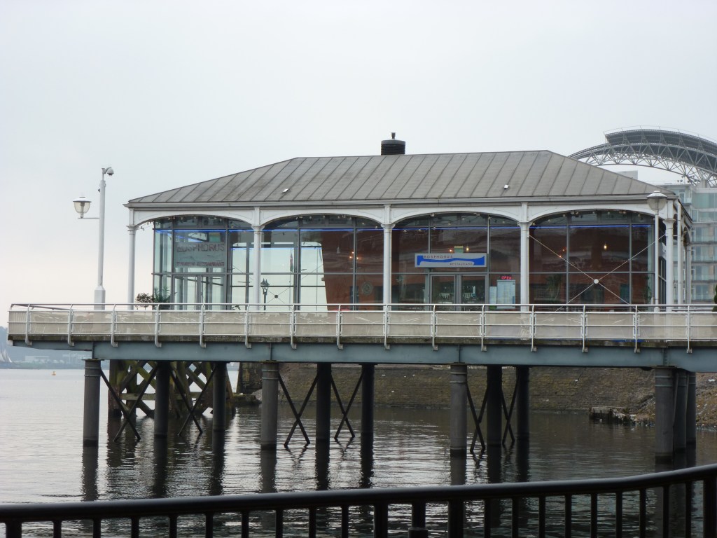
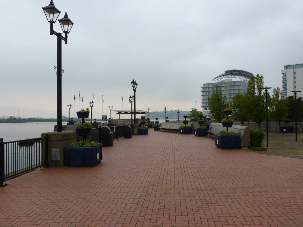
In my journal reflecting on the city’ newer architecture that could have been anywhere, I wrote: “In biking along the coastal trail, there were several parts that I felt could have been Cardiff or London. For instance, the part around Yaletown felt like the Cardiff Wharf development, though this one melded into its surroundings on all sides unlike Cardiff’s which was just plopped there. The area around Olympic Village and parts also around Yaletown felt a lot like the part of London past the Tower Bridge on the southern shore.” (Photos of the area around Tower Bridge are below and, of course, the building that I remember as being what I probably was thinking of in Vancouver is not one I photographed.)
My interest in the Olympic Village came from the same place as my on-going interest in World Fairs and Urban Renewal. These are large-scale developments that cities pursue “for the greater good” to attract tourists and others outside their boundaries while ignoring or actively harming their residents. Despite the intent, the end result is often more harm than good. For example, the Olympics and World Fairs are typically promoted as events that will bring in extensive revenues to the city, but most lose money due to the large expenditures required to build the necessary facilities. A successful Fair or Olympics is the one that breaks even.
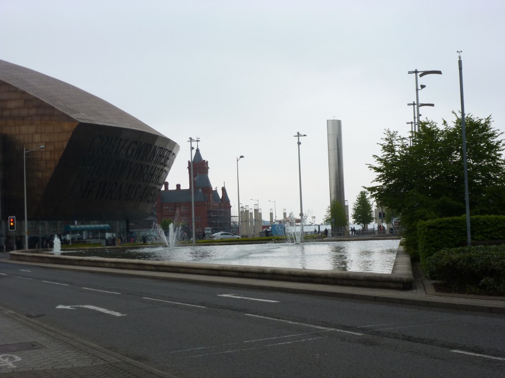
In my Comparative International Urbanism course in college, I wrote a paper on three large-scale redevelopments in London, including the Olympic Village from the 2012 summer games. I intended to visit the Olympic Village when I visited London that May, but I got distracted by bridge walking. The research I did for that paper on Olympic Villages highlighted the inequities inflicted on residents in the construction of these developments. Based on my paper, over 200 local businesses and nearly 1,000 residents were evicted for London’s Olympic Village.
While I can’t find my notes, I seem to recollect that researchers featured Vancouver as the city whose Olympic Village created the least harm for existing residents and most seamlessly integrated into city life after the games and athletes left. Something I definitely would have wanted to see while in Vancouver, but I was operating on too little sleep to take photos to prove I was there.
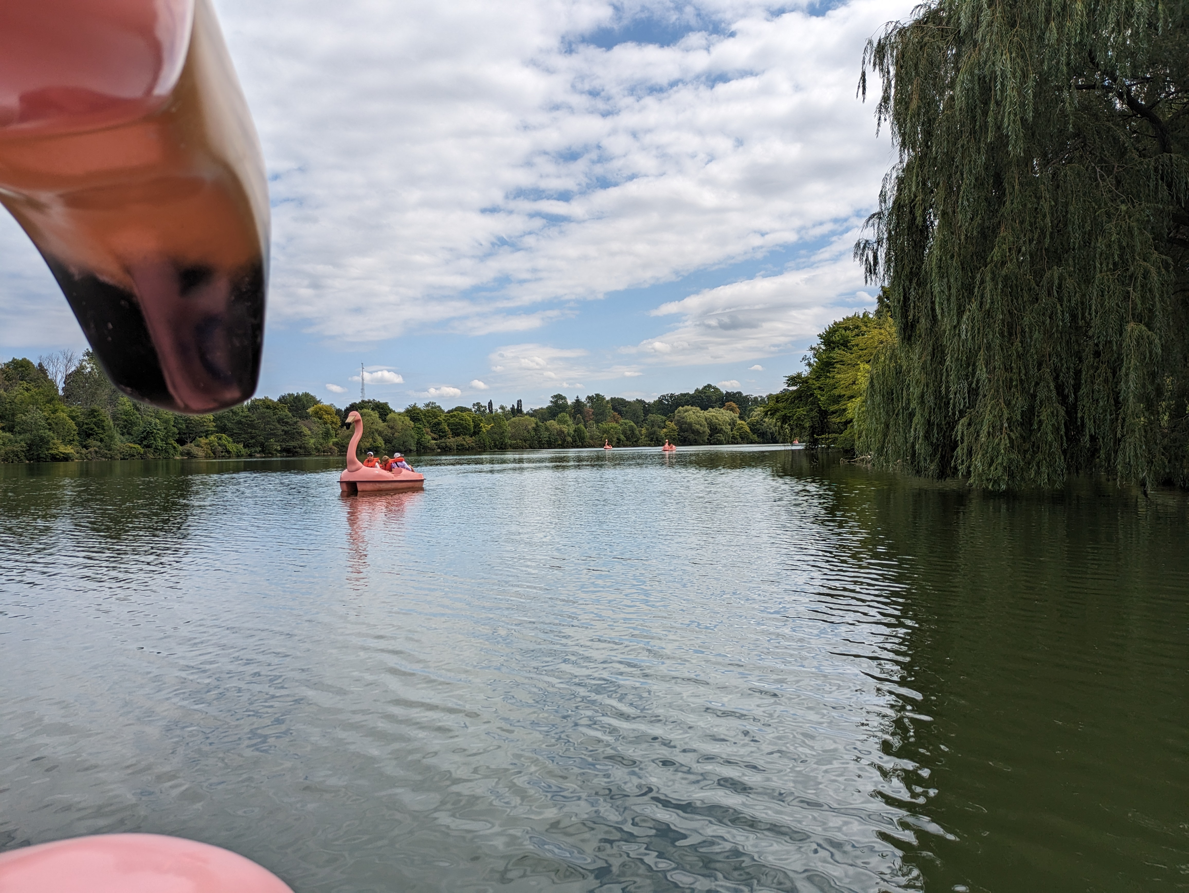
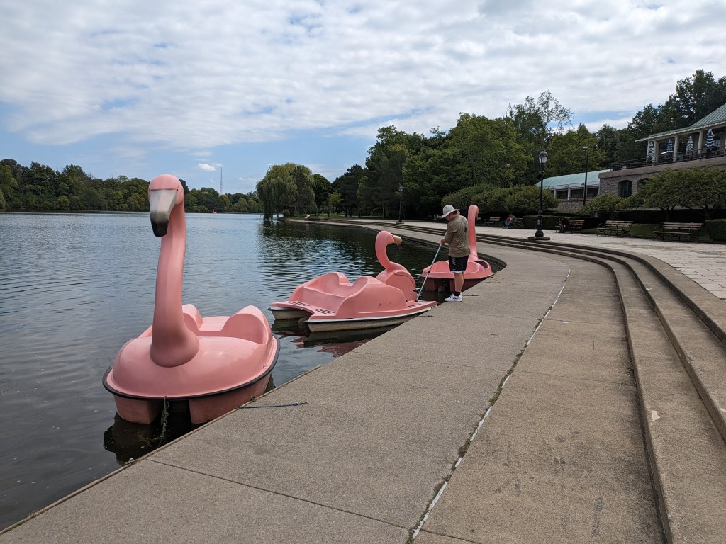
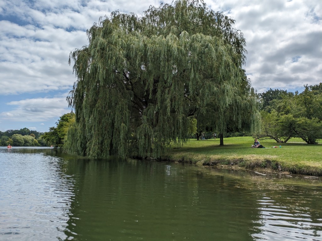
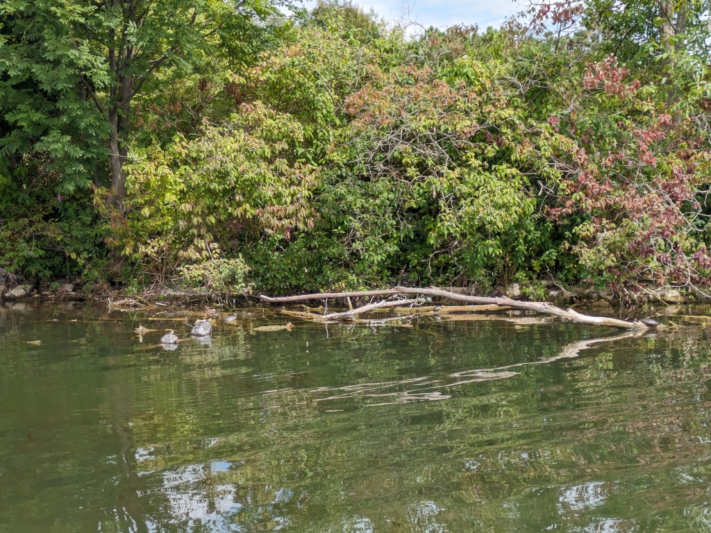
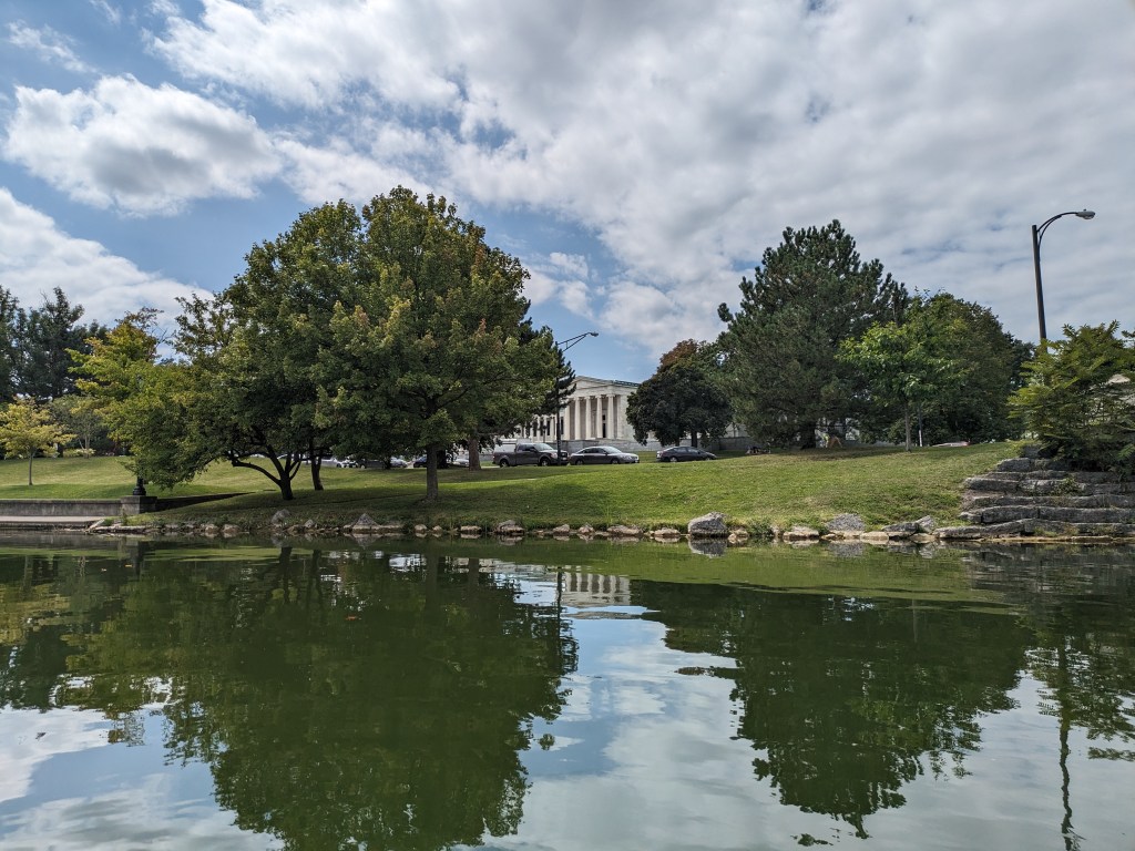
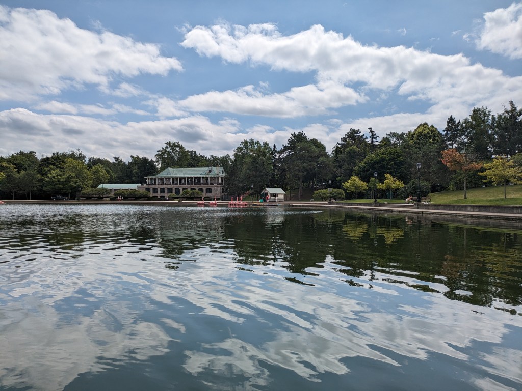
I took an enjoyable interlude in my wanderings in Buffalo’s Delaware Park that included getting the nice lake-eye views of the Lincoln Parkway Bridge I shared last month. I wonder if Frederick Law Olmsted ever imagined something like flamingo paddle boats as a potential use of the lake he designed. I don’t know if he would approve, but I had fun stepping out of the ordinary for a hour to view the lake and the park from the flamingo’s perspective. Below you can vicariously join me on the experience in a short video or in the sample of photos I took around the lake (including one with at least 4 turtles sunning themselves).
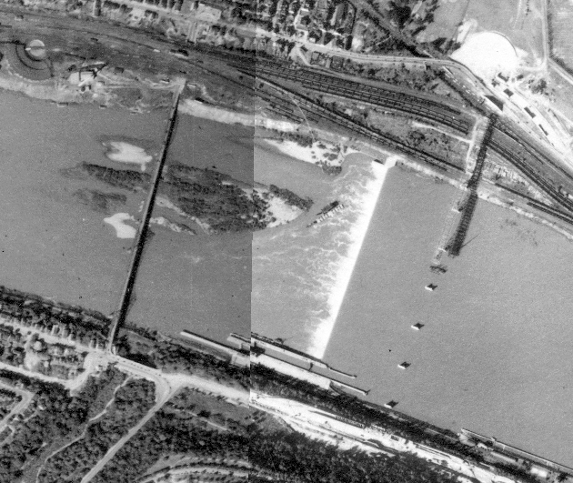
My primary day job this year involves spending lots of time with Pittsburgh archives, particularly maps. That was how I discovered that East Liberty used to have more bridges. Since then, I discovered that the Highland Park Bridge used to be in a completely different location, adjacent to the western end of Heth’s Run Bridge. The image above from the Pittsburgh Historic Maps, an online ArcGIS map viewer, shows the 1939 satellite images for the area with the former Highland Park Bridge to the left and the current Highland Park Bridge under construction on the right.
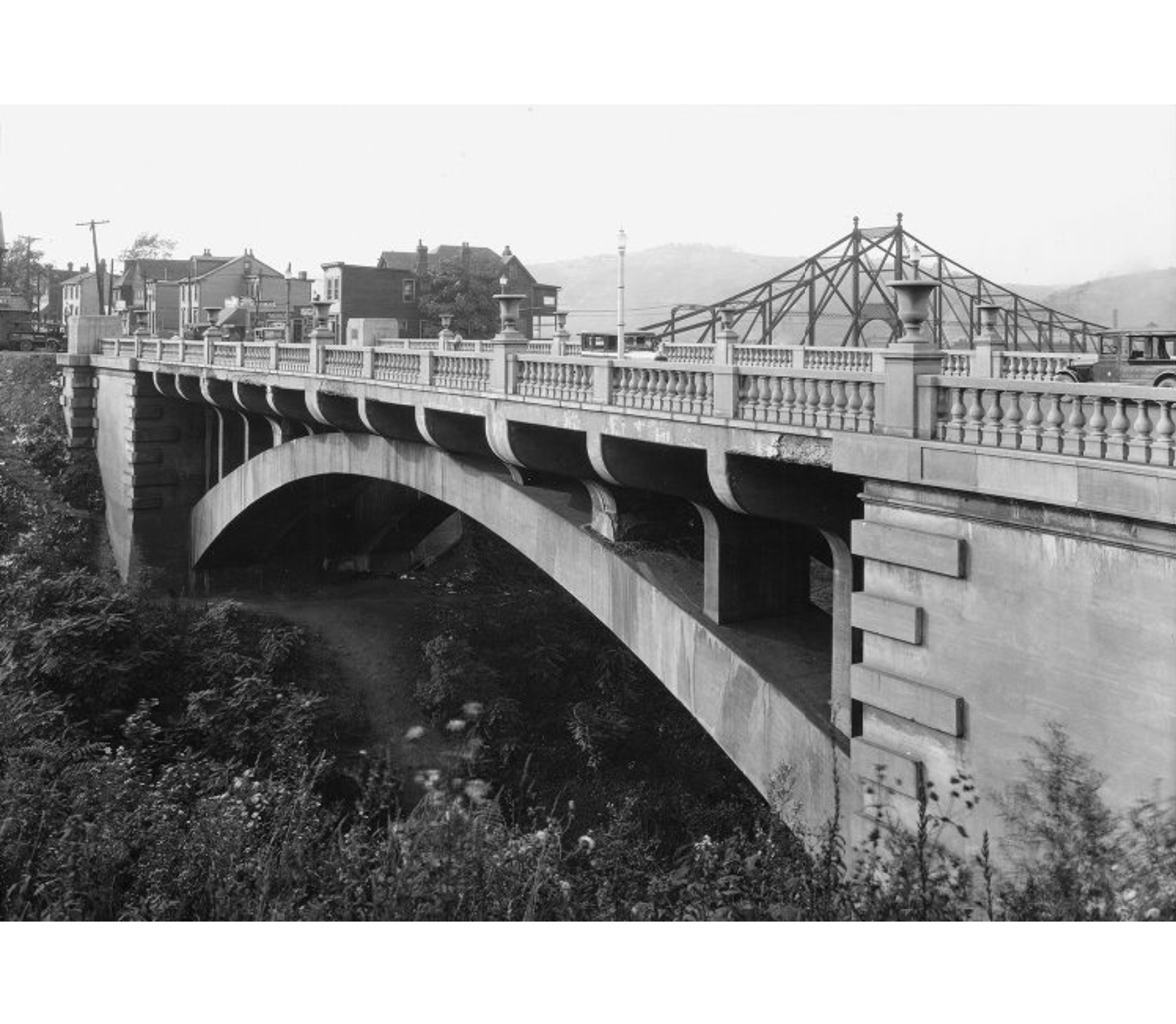
Once again, thanks to Historic Pittsburgh, I found photos of the former bridge. The first pair of photos below shows the Highland Park Bridge beyond the Heth’s Run Bridge, the older one looking west and the newer one looking east. The second pair of photos compares the Heth’s Run ravine in it’s original condition after being bridged to its restored condition after being filled in and then re-excavated. The third pair of photos compares the former and current Highland Park Bridges.
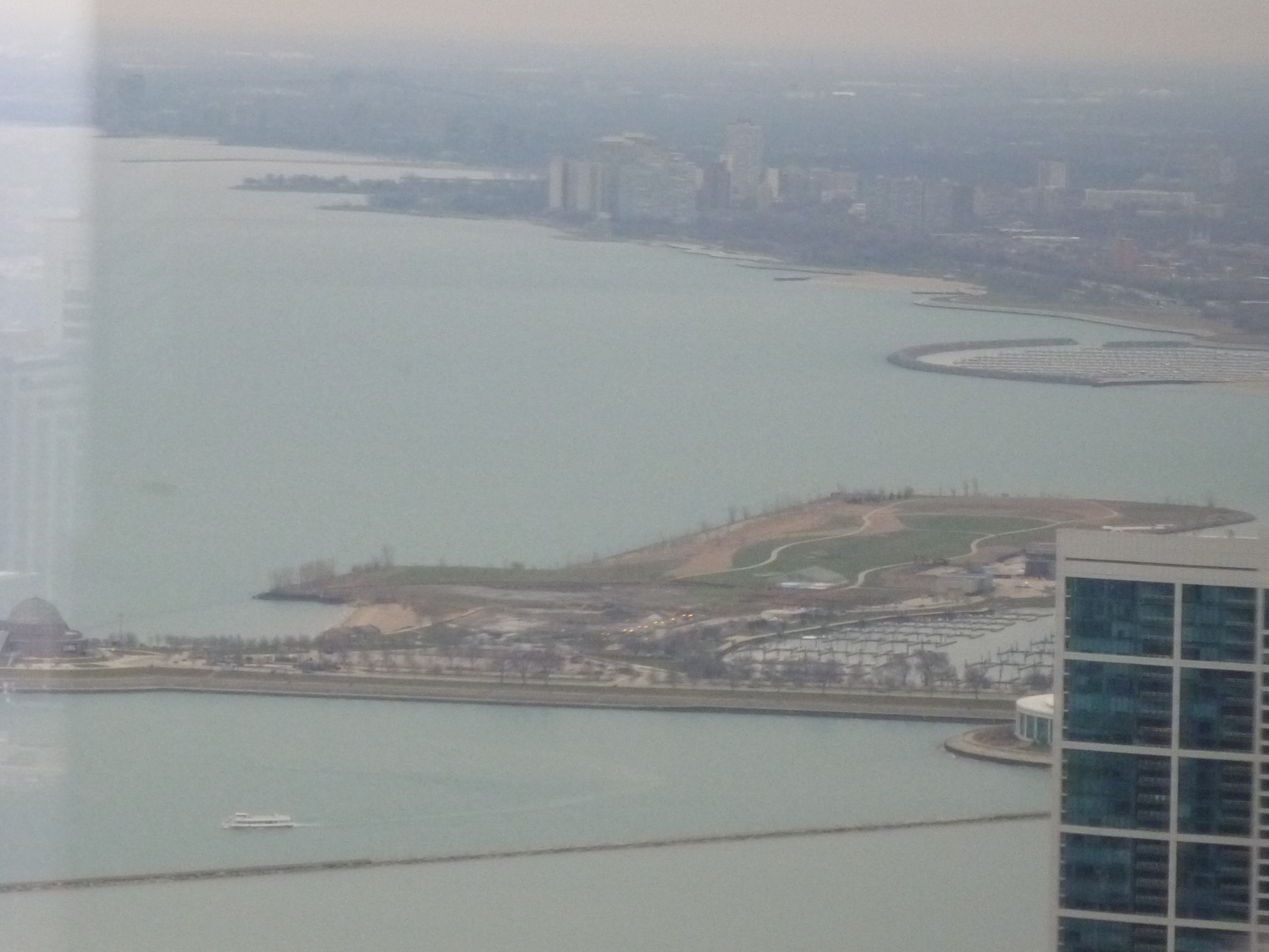
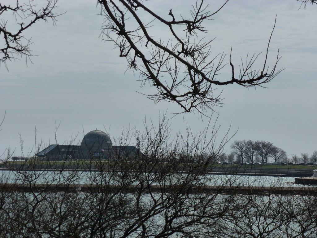
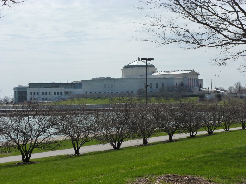
Unbeknownst to me at the time, on my aborted bike ride to the site of the White City in 2013, I rode right passed the site of Chicago’s other World’s Fair. The Century of Progress 1933 World’s Fair was located on what is now called Northerly Island. Adler Planetarium and Shedd Aquarium were the obligatory permanent museums opened in conjunction with or adjacent to the fair.
One of the interesting tidbits I’ve learned about this fair is that it used a rainbow of colors. Clearly, this was intended to be among the elements that would distinguish this fair from the previous one. However, it sounds to me more like Chicago was trying to imitate Buffalo’s Rainbow City, the 1901 World’s Fair.
My thanks to Zachary L. Brodt and his bookFrom the Steel City to the White City: Western Pennsylvania & the World’s Columbian Exposition for helping me to realize that I can say I’ve visited four former US hosted World’s Fair sites as of May 2024.