In the 2025 Bridge Madness Tournament, 16 suspension bridges go pier-to-pier in a reader’s choice tournament to pick the best one. This year’s tournament features suspension bridges visited by urbantraipsing nationally and internationally.
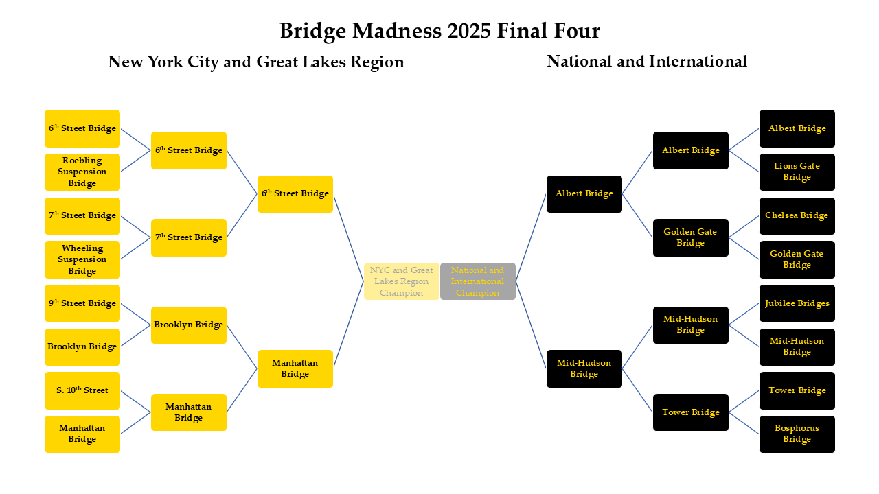
Results of the Elite Eight:
6th Street Bridge vs. 7th Street Bridge – 64% to 36%
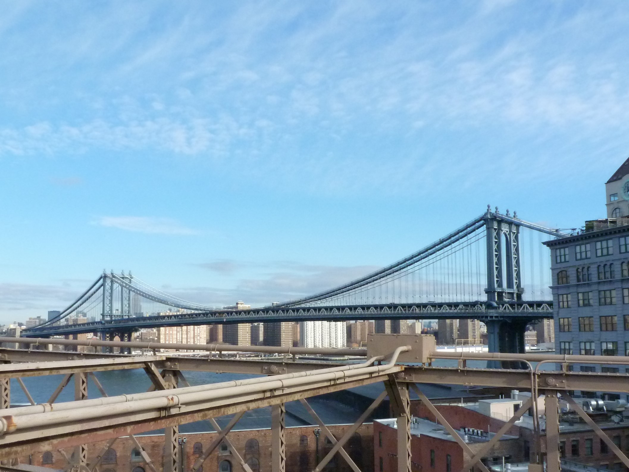
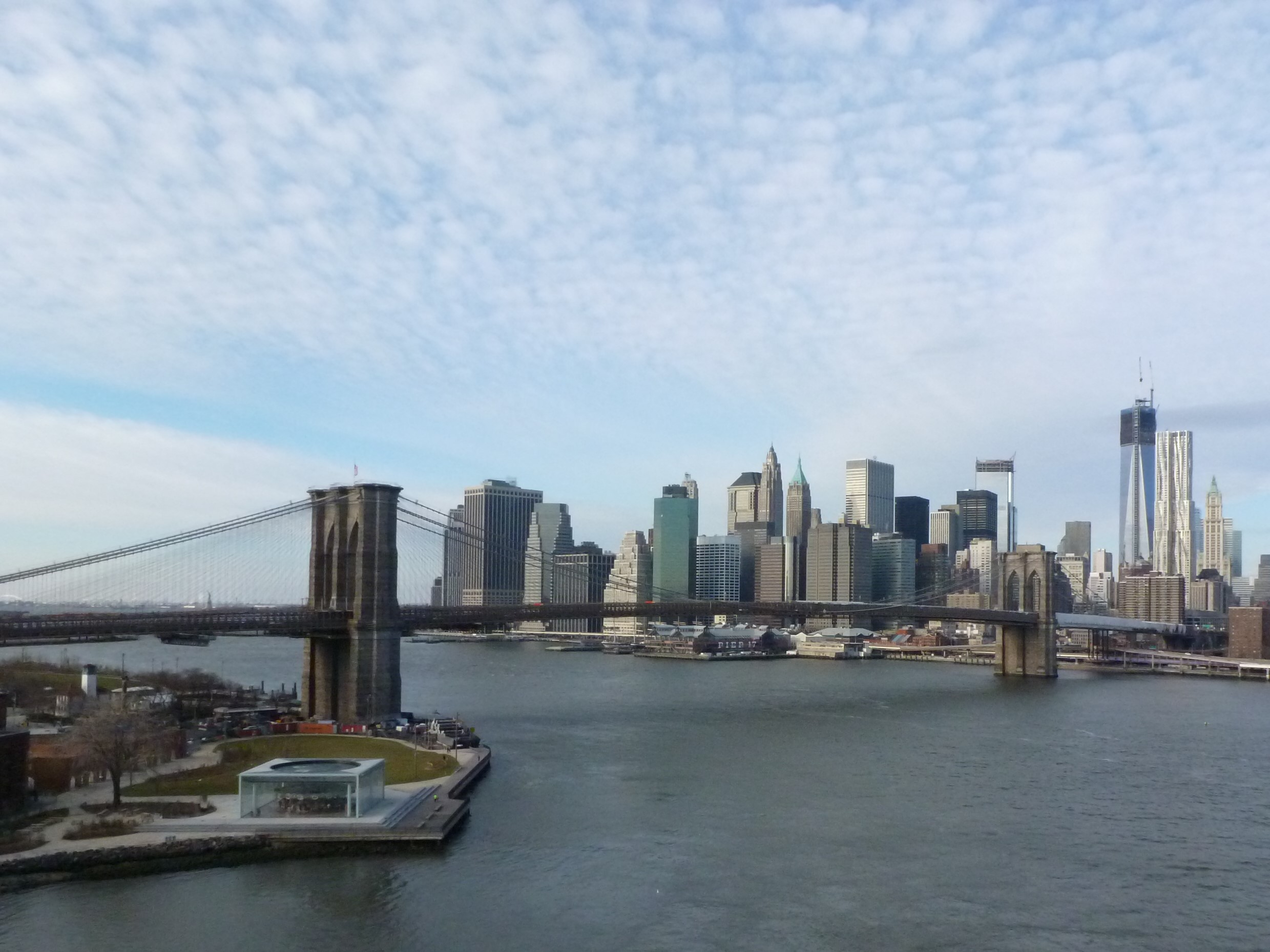
Brooklyn Bridge vs. Manhattan Bridge – 44% to 56%
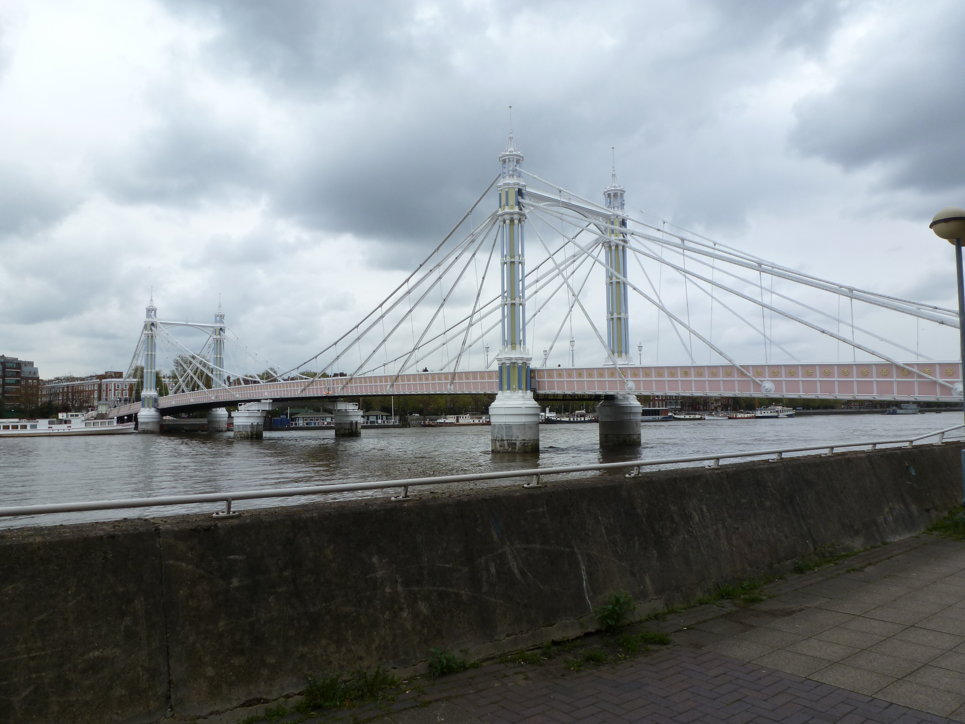
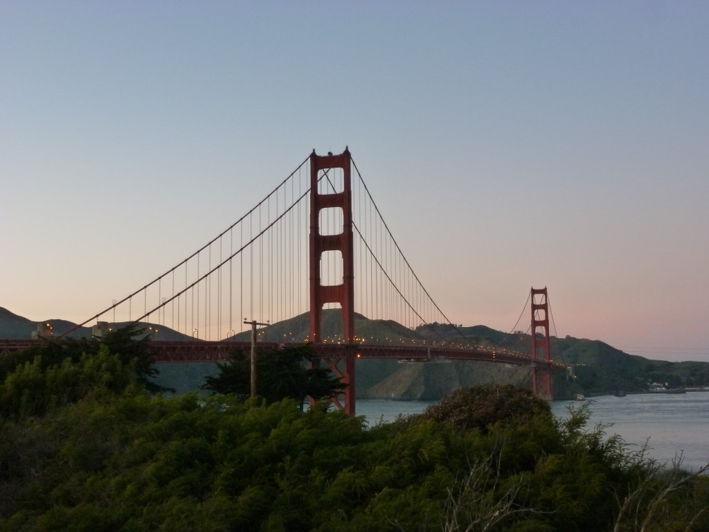
Albert Bridge vs. Golden Gate Bridge – 51% to 49%
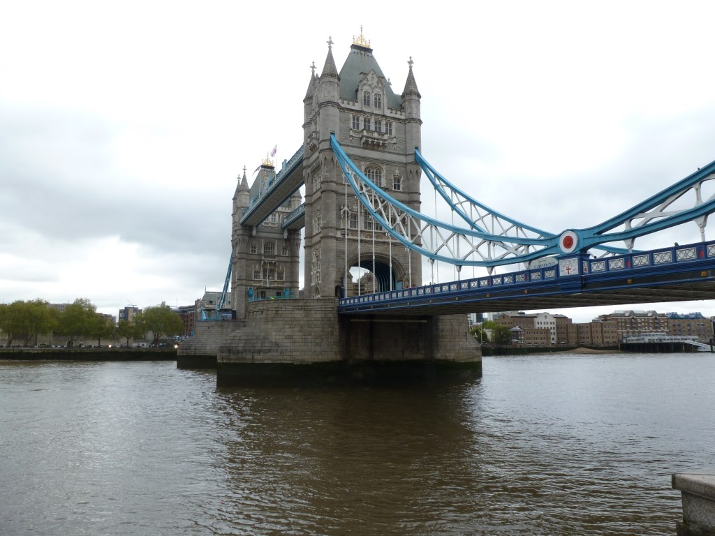
Mid-Hudson Bridge vs. Tower Bridge – 79% to 21%
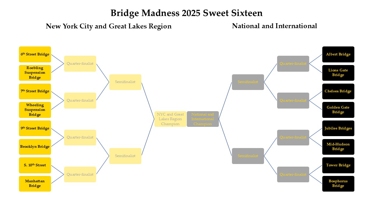
Below are the brackets for the Final Four. Remember to vote for one bridge in each bracket by noon on Thursday, March 20th, and then return on March 22th to vote for the Championship.
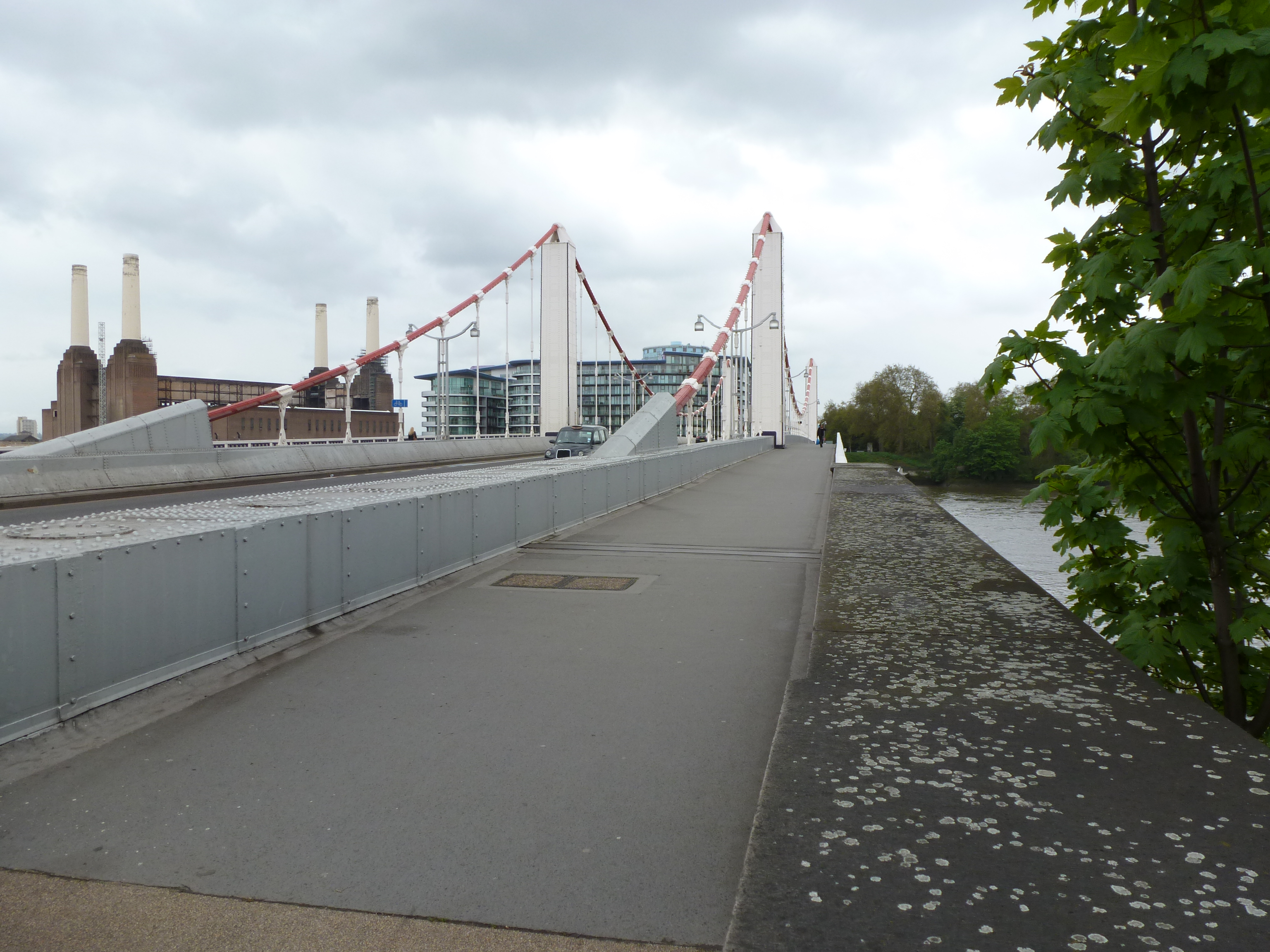
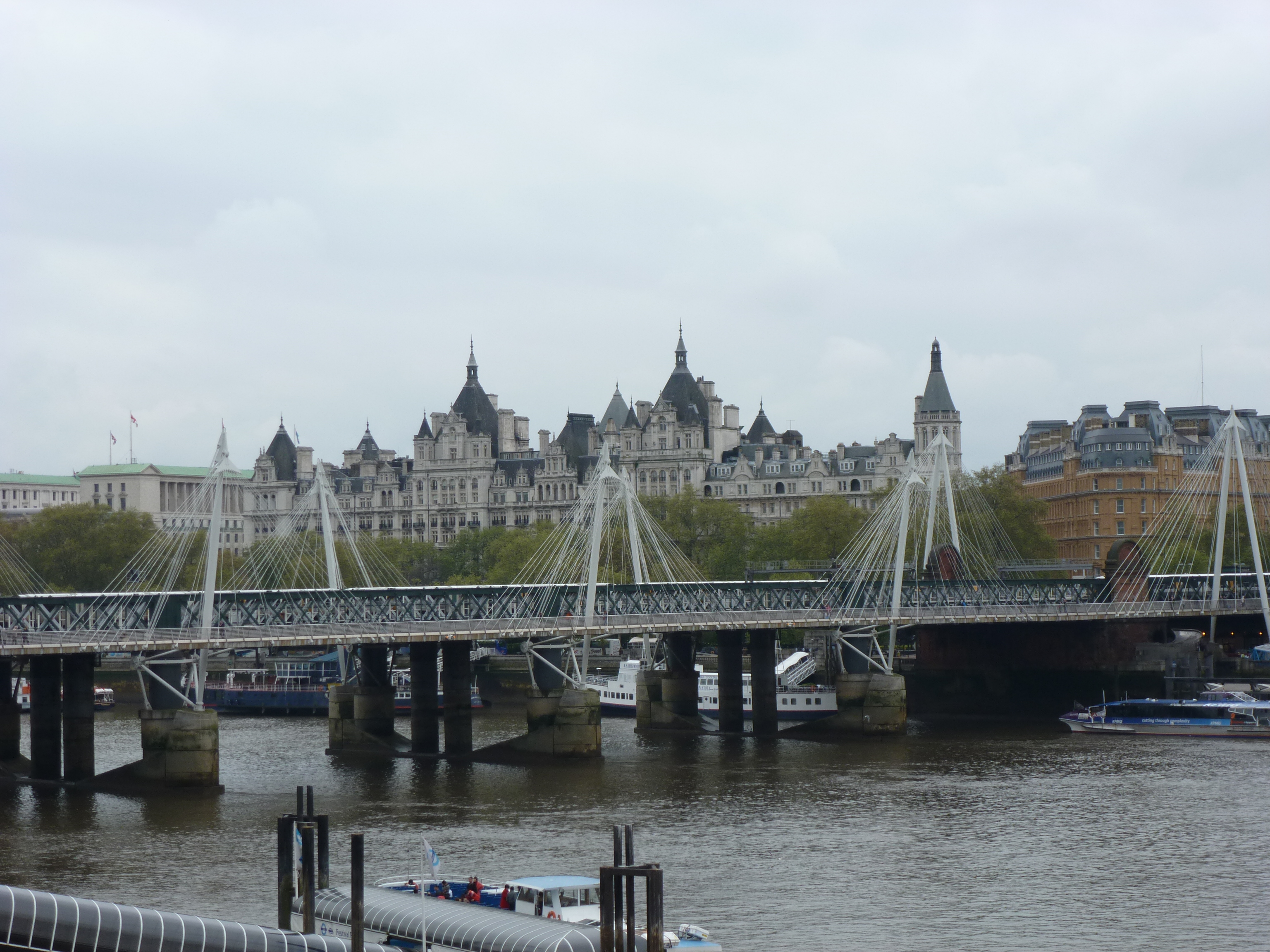
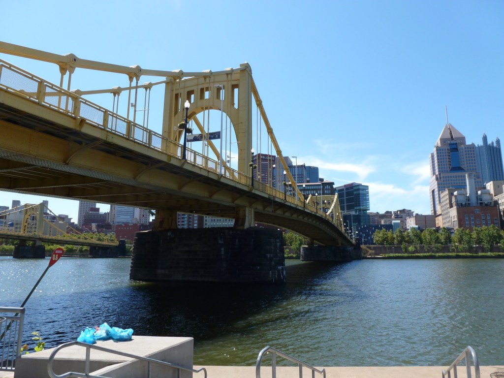
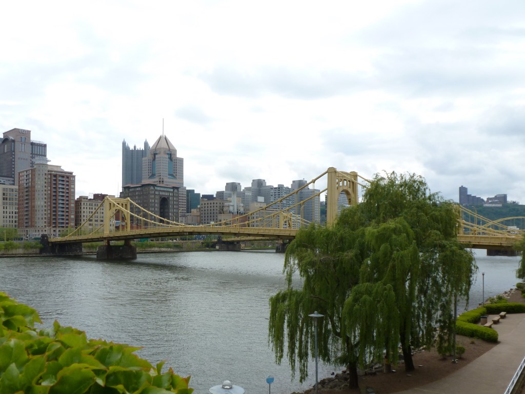
The bridges are divided into two conferences: New York City and Great Lakes Region vs. National and International. To learn more about the bridges, revisit the introduction which has links to posts on each bridge.
New York City and Great Lakes Region
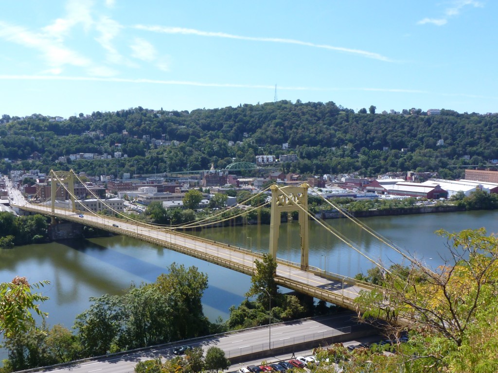
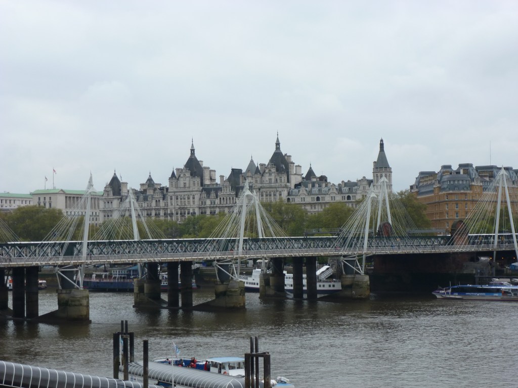
6th Street Bridge – PittsburghManhattan Bridge – New York City
National and International
Albert Bridge – LondonMid-Hudson Bridge – Poughkeepsie
In the 2025 Bridge Madness Tournament, 16 suspension bridges go pier-to-pier in a reader’s choice tournament to pick the best one. This year’s tournament features suspension bridges visited by urbantraipsing nationally and internationally.
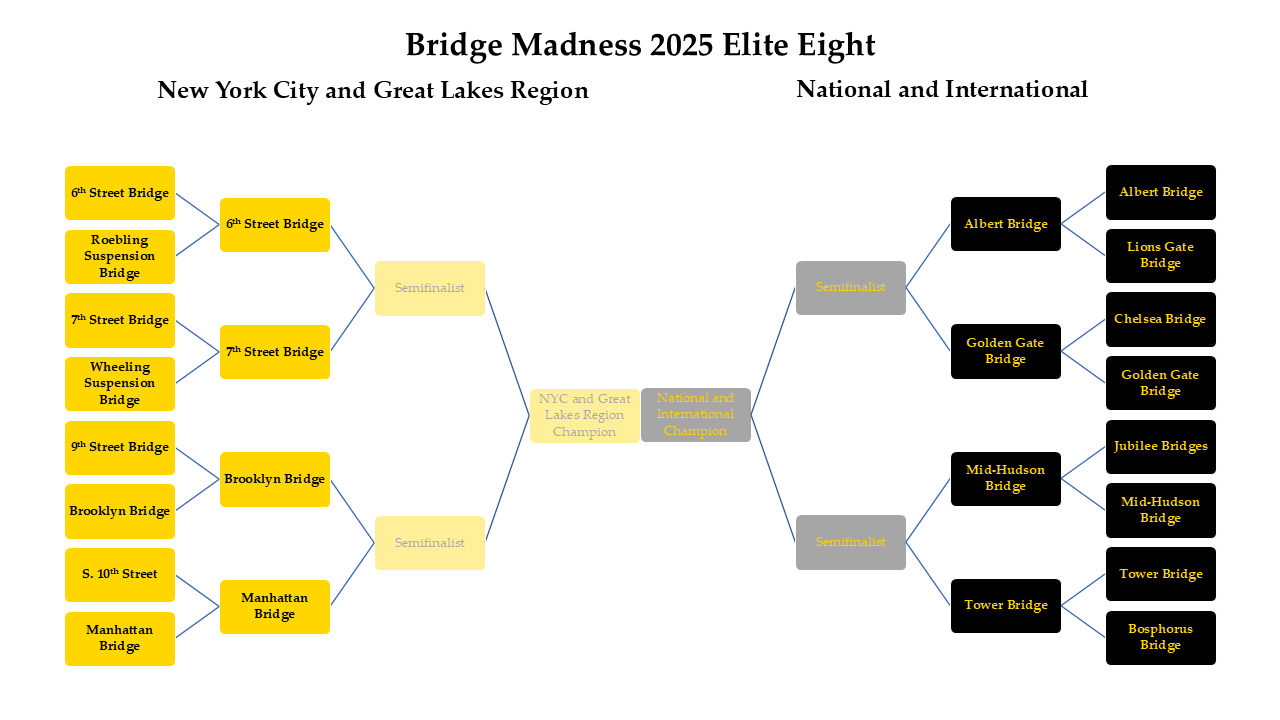
Results of the Sweet Sixteen:
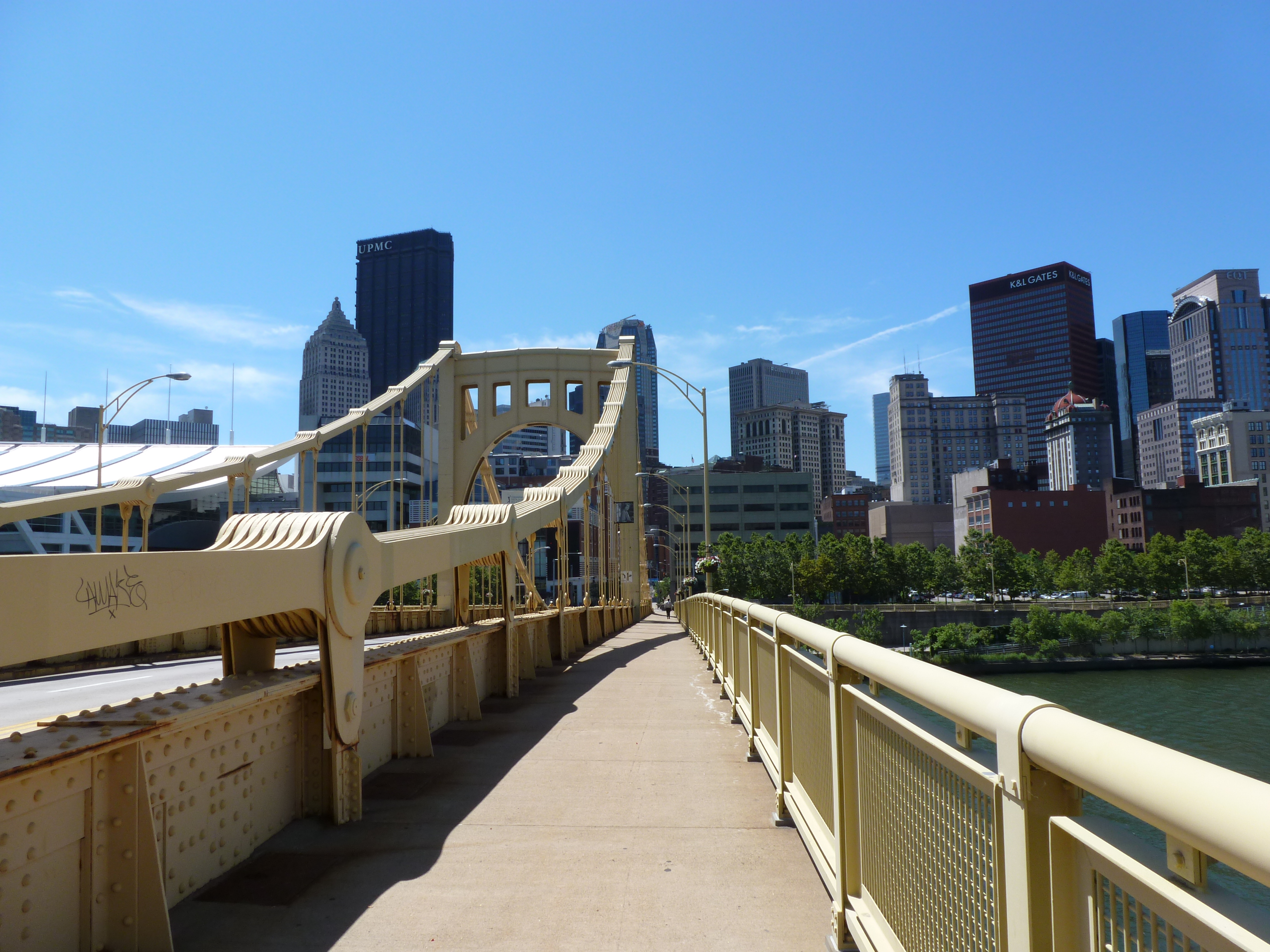
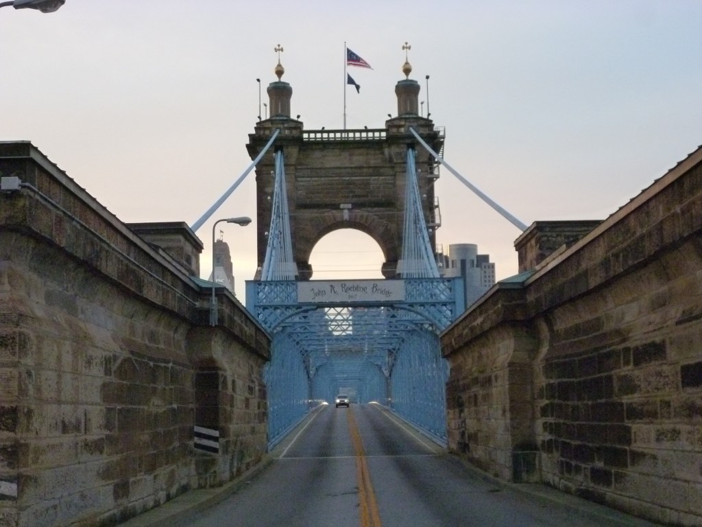
6th Street Bridge vs. Roebling Suspension Bridge – 52% to 48%
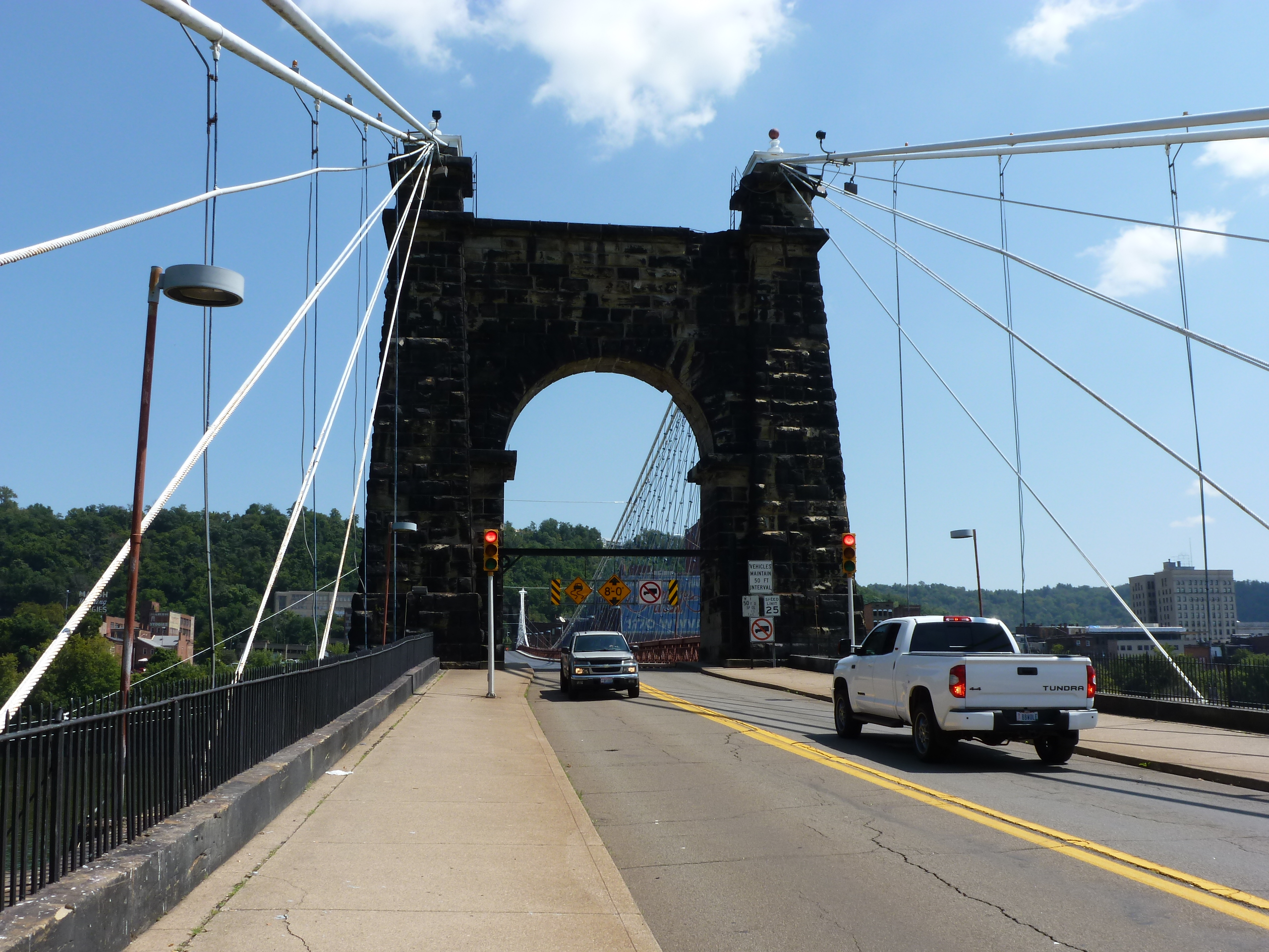
7th Street Bridge vs. Wheeling Suspension Bridge – 60% to 40%
9th Street Bridge vs. Brooklyn Bridge – 28% to 72%
South 10th Street Bridge vs. Manhattan Bridge – 16% to 74%
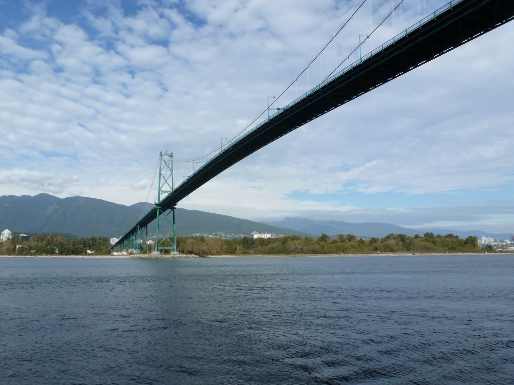
Albert Bridge vs. Lions Gate Bridge – 58% to 42%
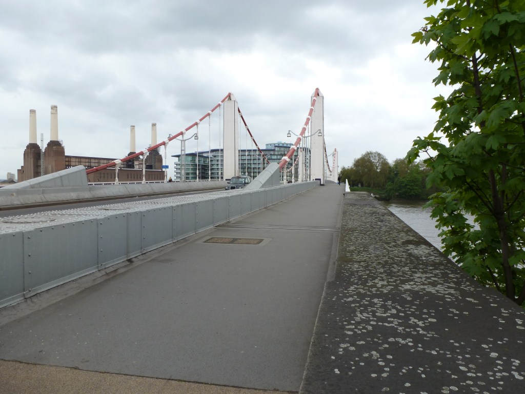
Chelsea Bridge vs. Golden Gate Bridge – 35% to 65%
Jubilee Bridges vs. Mid-Hudson Bridge – 10% to 90%
Tower Bridge vs. Bosphorus Bridge – 83% to 17%
Below are the brackets for the Elite Eight. Remember to vote for one bridge in each bracket by noon on Thursday, March 13th, and then return on March 15th to vote for the Final Four.
The bridges are divided into two conferences: New York City and Great Lakes Region vs. National and International. To learn more about the bridges, revisit the introduction which has links to posts on each bridge.
New York City and Great Lakes Region
6th Street Bridge – Pittsburgh7th Street Bridge – PittsburghBrooklyn Bridge – New York CityManhattan Bridge – New York City
National and International
Albert Bridge – LondonGolden Gate Bridge – San FranciscoMid-Hudson Bridge – PoughkeepsieTower Bridge – London
In the 2025 Bridge Madness Tournament, 16 suspension bridges go pier-to-pier in a reader’s choice tournament to pick the best one. This year’s tournament features suspension bridges visited by urbantraipsing nationally and internationally. Below are the brackets for the Sweet Sixteen. Remember to vote for one bridge in each bracket by noon on Thursday, March 6th, and then return on March 8th to vote for the Elite Eight.
The bridges are divided into two conferences: New York City and Great Lakes Region vs. National and International. To learn more about the bridges, revisit the introduction which has links to posts on each bridge.
New York City and Great Lakes Region
6th Street Bridge – PittsburghRoebling Suspension Bridge – Cincinnati7th Street Bridge – PittsburghWheeling Suspension Bridge – Wheeling9th Street Bridge – PittsburghBrooklyn Bridge – New York CityS. 10th Street Bridge – PittsburghManhattan Bridge – New York City
National and International
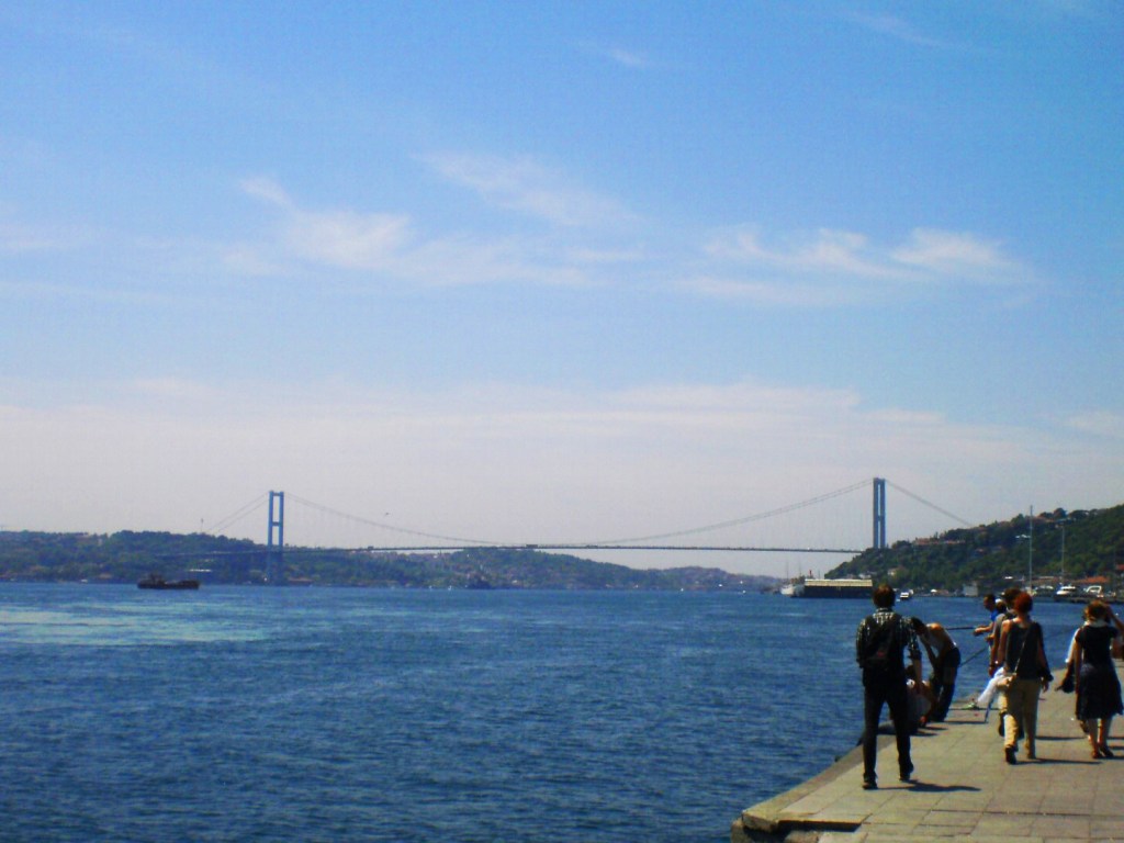
Albert Bridge – LondonLions Gate Bridge – VancouverChelsea Bridge – LondonGolden Gate Bridge – San FranciscoJubilee Bridges – LondonMid-Hudson Bridge – PoughkeepsieTower Bridge – LondonBosphorus Bridge – Istanbul
In the 2025 Bridge Madness Tournament, 16 suspension bridges go pier-to-pier in a reader’s choice tournament to pick the best one. This year’s tournament features suspension bridges visited by urbantraipsing nationally and internationally. Beginning March 1, you will be able to vote for your favorite bridge in each bracket. The champion bridge will be announced on March 29. Don’t forget to come back each week to vote your favorite bridge to #1!
Each round of voting will go live at 8 AM on the scheduled Saturday and close at noon the following Thursday. The schedule is:
March 1 – Sweet Sixteen
March 8 – Elite Eight
March 15 – Final Four
March 22 – Championship
March 29 – Winner announced
The bridges are divided into two conferences: New York City and Great Lakes Region vs. National and International.
New York City and Great Lakes Region
The suspension bridges in the New York City and Great Lakes Region Conference are below. Click on the links to learn more about urbantraipsing’s encounter with each bridge.
The suspension bridges in the National and International Conference are below. Click on the links to learn more about urbantraipsing’s encounter with each bridge.
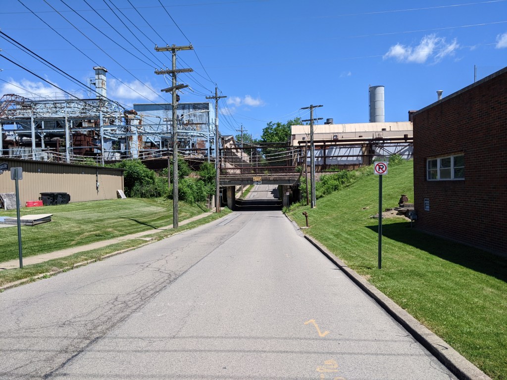
Three years ago, Pittsburgh’s Fern Hollow Bridge collapsed on a cold and icy morning. Since then, I have periodically checked in on the status of the new bridge, the fallout from the collapse including the Mayor’s new Commission on Infrastructure Asset Reporting and Investment, and the condition of other bridges, particularly those closed for safety reasons since the Fern Hollow Bridge collapsed.
At my last check-in one year ago, the National Transportation Safety Board’s investigation was still on-going with the latest update on their website a year old. The investigation wrapped up shortly after and the NTSB’s final report was issued in March 2024 (WTAE, March 22, 2024). Unsurprisingly, the report found that the City’s failure to act on the maintenance and repair recommendations from years of inspections led to the structural failure of the bridge. Specifically:
On Friday, January 28, 2022, about 6:37 a.m. eastern standard time, the Fern Hollow Bridge, which carried Forbes Avenue over the north side of Frick Park in Pittsburgh, Allegheny County, Pennsylvania, experienced a structural failure. As a result, the 447-foot-long bridge fell about 100 feet into the park below. The collapse began when the transverse tie plate on the southwest bridge leg failed due to extensive corrosion and section loss. The corrosion and section loss resulted from clogged drains that caused water to run down bridge legs and accumulate along with debris at the bottom of the legs, which prevented the development of a protective rust layer or patina. Although repeated maintenance and repair recommendations were documented in many inspection reports, the City of Pittsburgh failed to act on them, leading to the deterioration of the fracture-critical transverse tie plate and the structural failure of the bridge.
Immediately after the Fern Hollow Bridge collapsed, the City created a Commission on Infrastructure Asset Reporting and Investment. However, it took Mayor Gainey about 18 months to nominate any commissioners and another 5 months for the commission to have its first meeting on December 5, 2023. Despite finally existing, it still hasn’t been added yet to the city’s website listing all Boards and Commissions. It does have an official city website though. The first report from the Commission to City Council was issued on June 5, 2024. In the cover letter, the Commissioners acknowledge that they are charged with reporting to council at least twice a year.
The Charles Anderson Bridge was immediately closed to vehicular traffic on February 1, 2023. On November 4, 2024, the bridge was closed to bicycle and pedestrian traffic as construction was finally underway for rehabilitation of the bridge (the process started in 2019). The Panther Hollow Overpass is also being improved while the traffic is detoured. (Pittsburgh Engage project page)
Pittsburgh’s Swindell Bridge, which closed initially from July to September 2022 due to falling debris. The expectation was that repairs that summer would enable the bridge to fully reopen to traffic. Instead the latest repairs seem to have uncovered more issues. The bridge will eventually undergo a full rehabilitation, which will require another closure during construction. However, that will not be for some time as the bridge is still in the preliminary design phase. (Pittsburgh Engage page)
The “complete overhaul” of the South Negley Avenue Bridge announced in 2022 (CBS, February 25, 2022). The city still does not have a project page for this bridge, though both sidewalks have been closed for safety (Mayor’s Press Release, June 6, 2024; Mayor’s Press Release, June 17, 2024). The obvious deterioration on this bridge and lack of movement on repairs leaves the way open for speculation on whether we will have another bridge disaster in our city sooner rather than later.
Rehabilitation on the Swinburne Bridge remains on pause until after the Charles Anderson Bridge is reopened as the Swinburne Bridge is part of the detour route. (Pittsburgh Engage page)
Preliminary engineering remains ongoing for the rehabilitation of the 28th Street Bridge. (Pittsburgh Engage page)
Preliminary engineering has started for the California Avenue Bridge rehabilitation. (Pittsburgh Engage page)
While the number of “Engage pages” about Pittsburgh bridges has grown in the last year (full list below the map), it still does not align with all the bridges closed fully or partially. In addition to the bridges mentioned above, the most recent addition to the list of bridges with issues, but no Engage page is the Panther Hollow Bridge that closed to vehicles October 2024 due to the results of its most recent inspection (see 2024 Bridge Disasters Actual and Pending for more).
In national bridge news, Congress fully funded the reconstruction of the collapsed Francis Scott Key Bridge before the end of December (Governor Moore’s statement, December 21, 2024), contrary to my prediction on Funding Bridges (December 15, 2024).
Photos: Other Bridges
Historic Pittsburgh Bridge Disasters
According to Bob Regan’s 2006 book “The Bridges of Pittsburgh,” Pittsburgh is no stranger to bridge disasters:
1845 – The original Smithfield Street Bridge burned down
1851 – The 16th Street Bridge burned down
1865 – Two spans of the 16th Street Bridge was washed away in a flood
late 1880s – The 6th Street/St. Clair Street Bridge burned down
1903 – The Wabash Bridge collapsed during construction
1918 – The 16th Street Bridge burned down (again)
1921 – The 30th Street Bridge burned down
1927 – The Mount Washington Roadway Bridge collapsed during construction
Map of bridges discussed in the Bridge Collapse series:
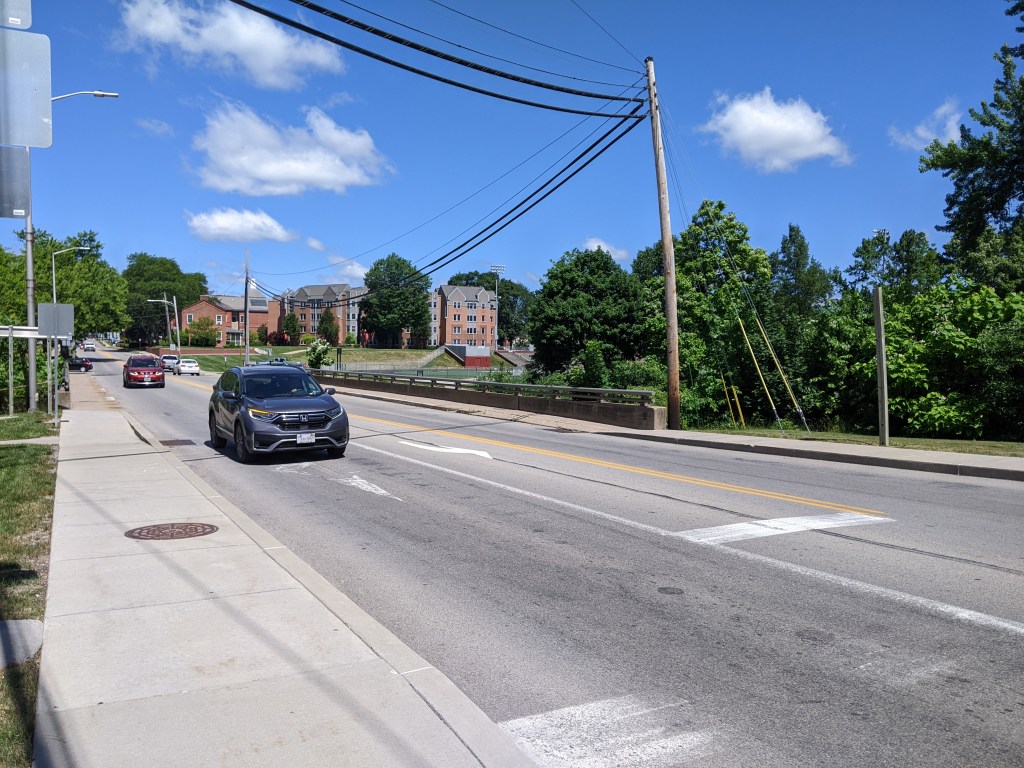
I bought my first car in 2021. It ended up having a lot of problems. The first time I tried to drive to Erie, it started shaking like it was going to spontaneously break apart into a million pieces, just like a cartoon. Instead, it went into limp home mode and I turned around at the next exit, which was the middle of nowhere. After several repairs and a period of no further incidents, the following year I was ready to try again. But first, I tested the car to see if it could handle Rt. 79.
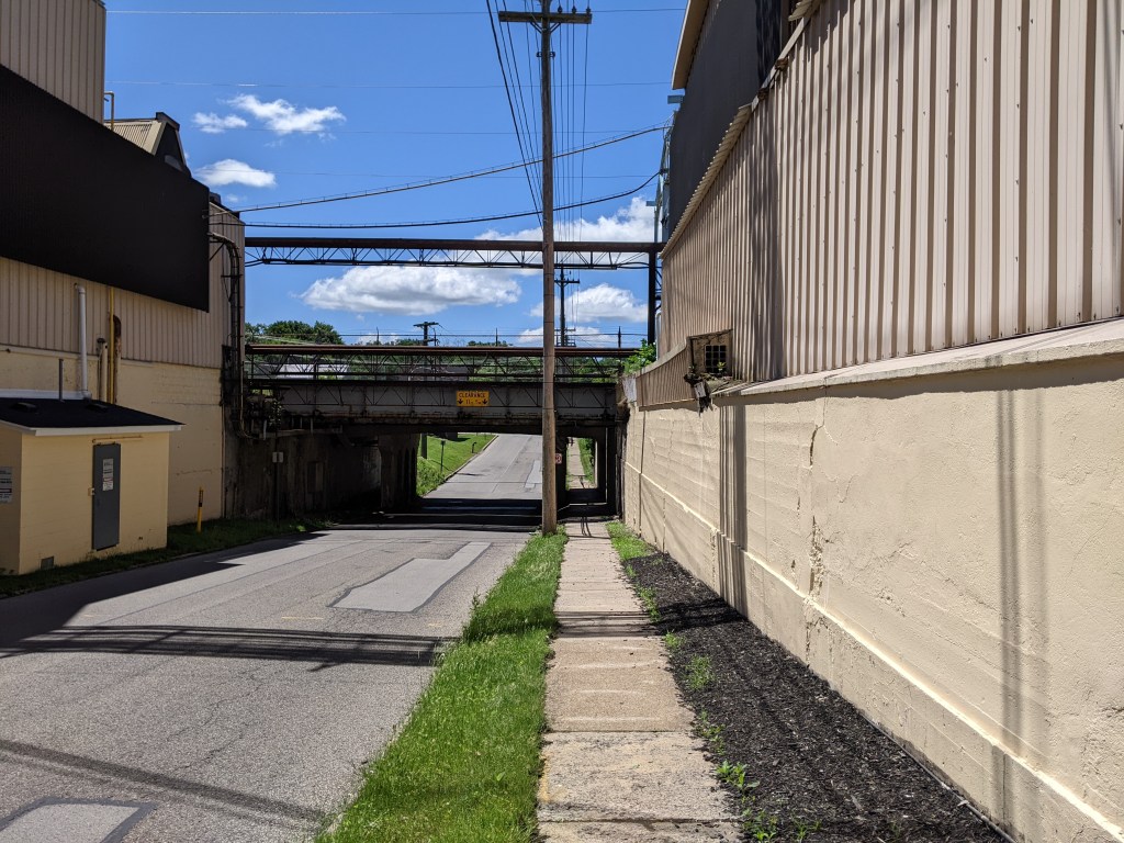
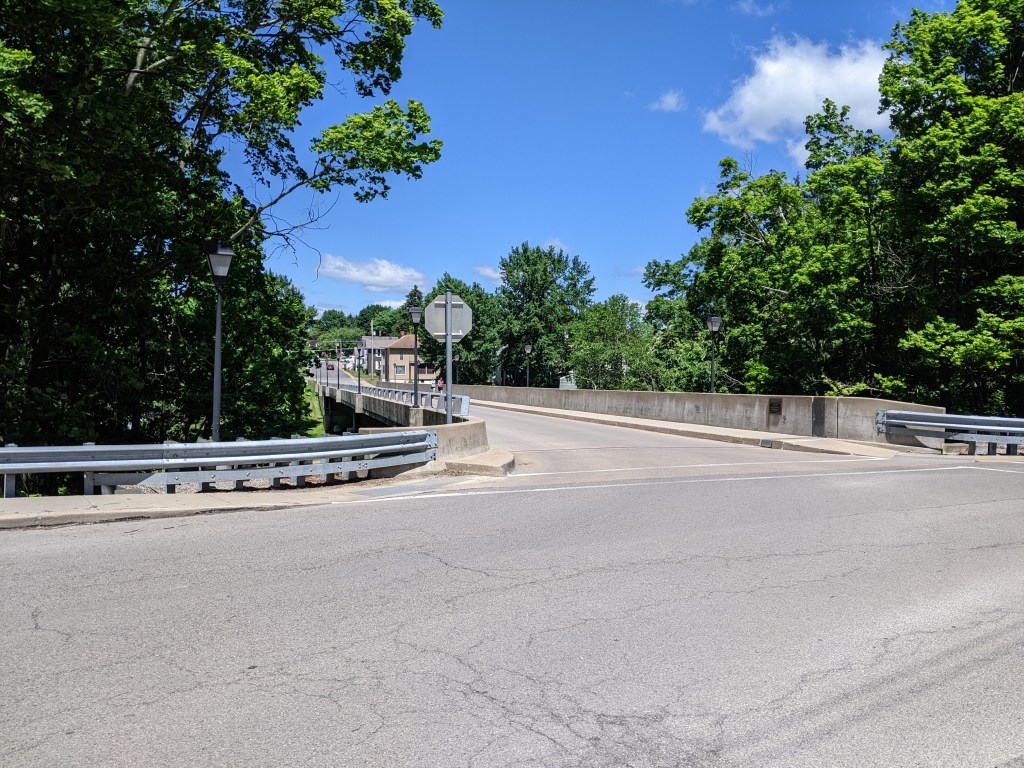
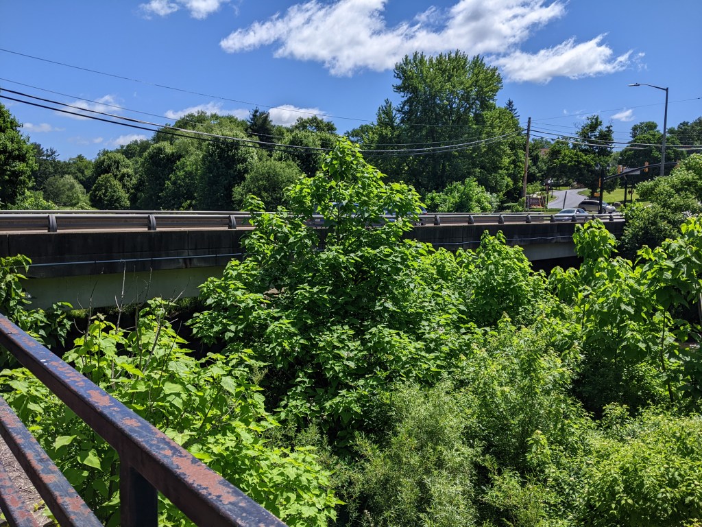
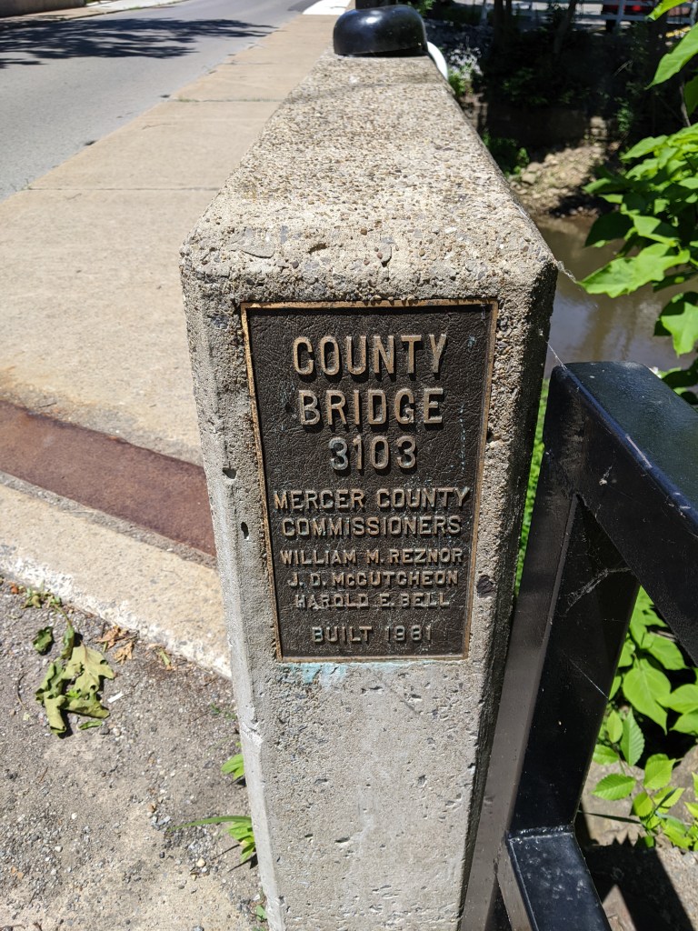
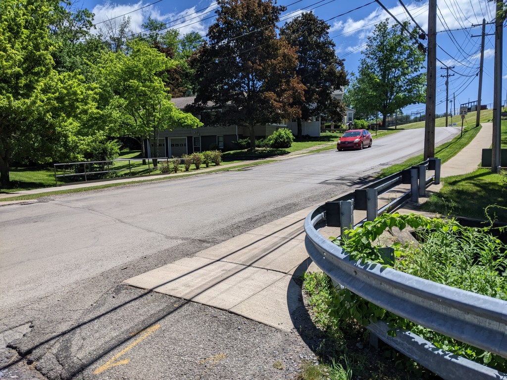
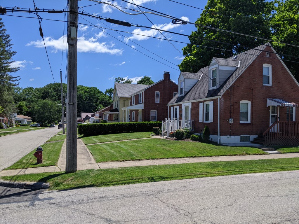
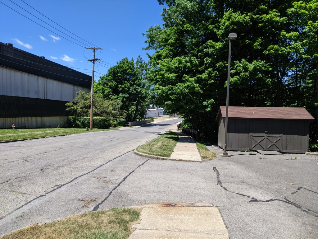
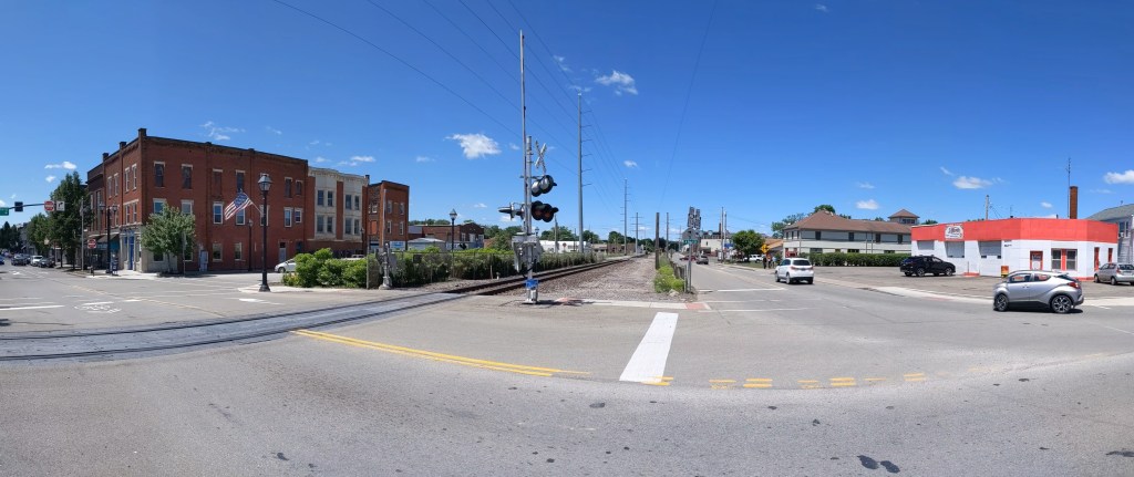
I knew of Grove City as an exit about halfway to Erie and as the closest outlet mall to Pittsburgh. I decided to aim for the actual Borough of Grove City1 as a destination to explore while testing my car’s ability to handle the speed limit and hills of Rt. 79. Naturally, since I arrived safely and knew nothing about the town, I set out to walk the bridges.
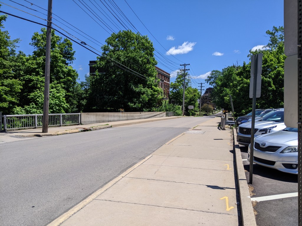
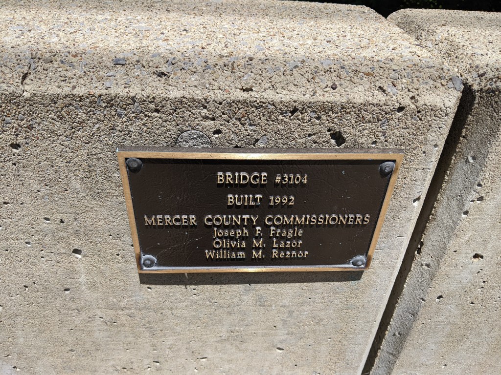
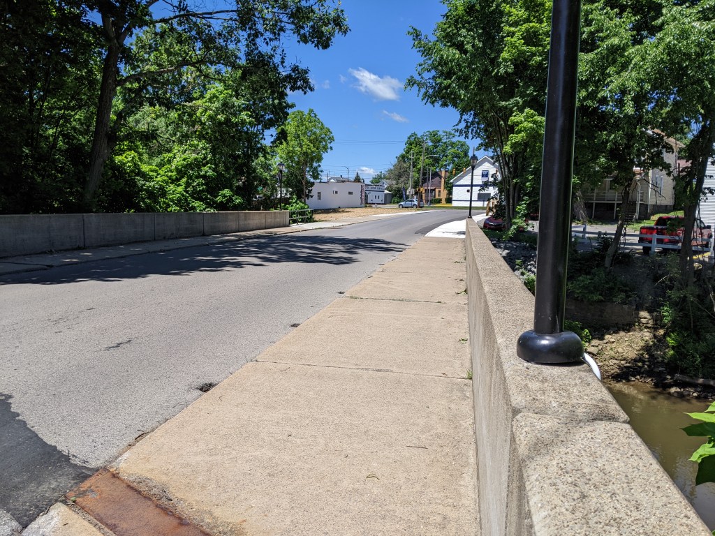
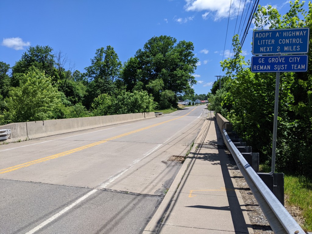
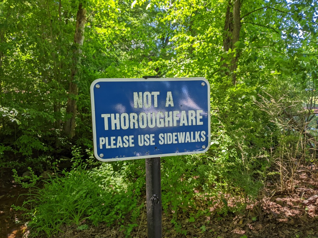
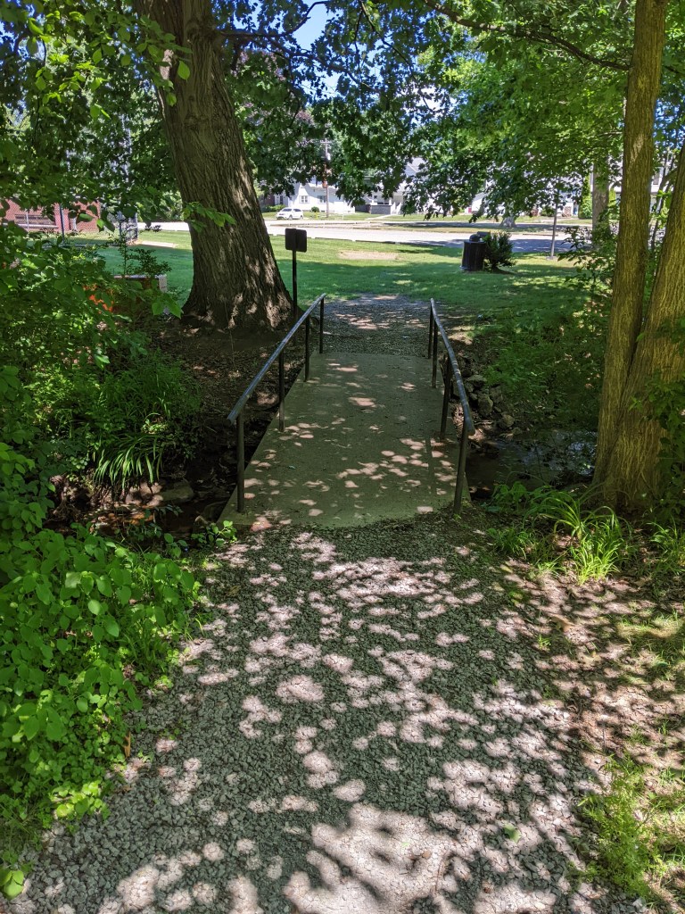
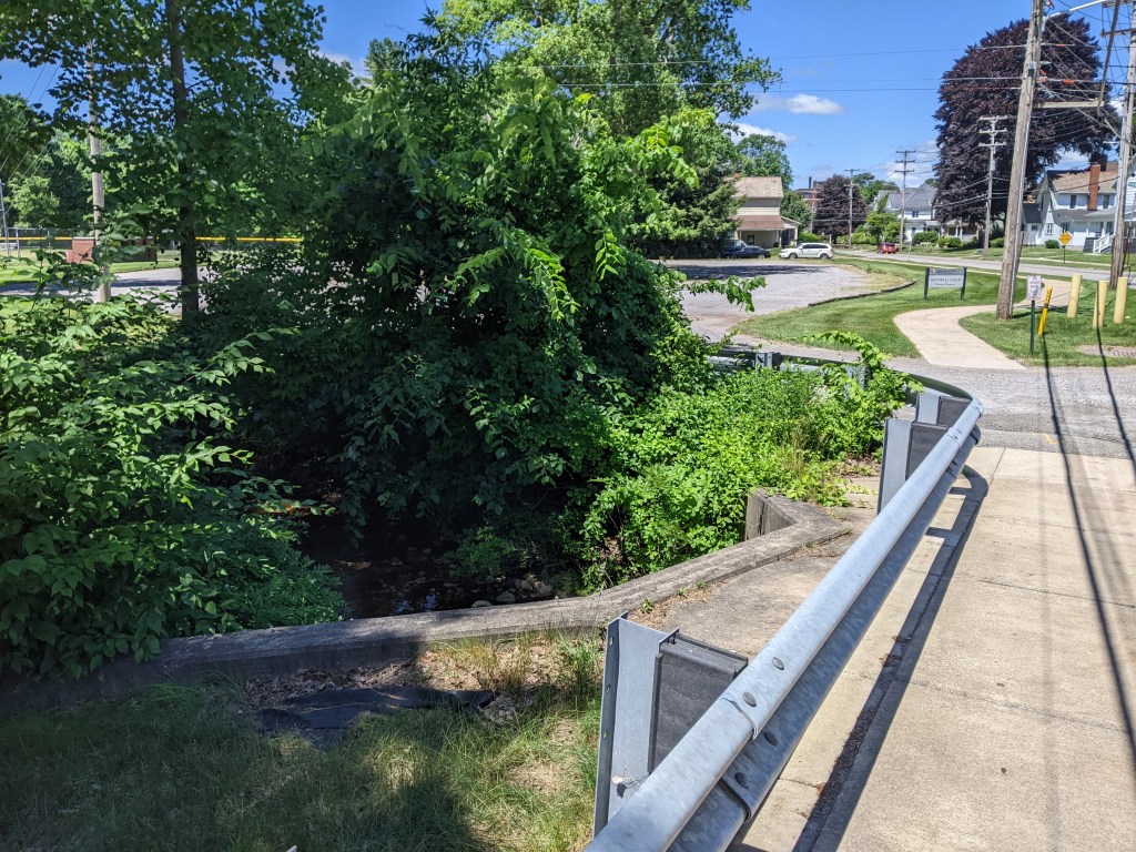
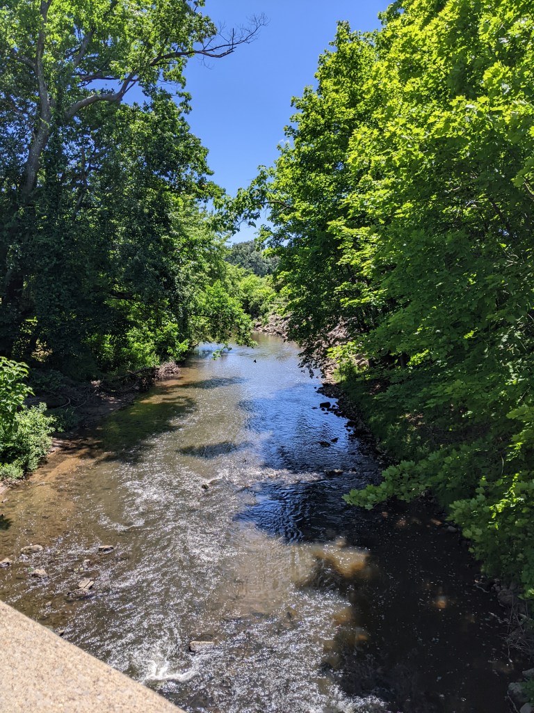
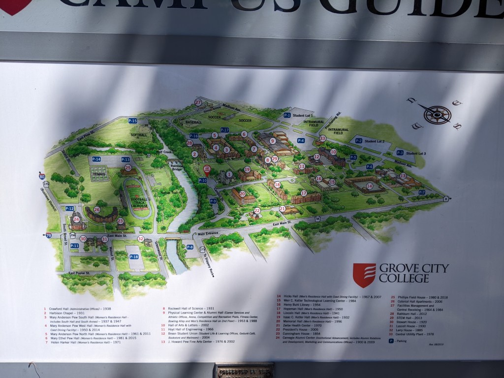
A town of 2.7 square miles and less than 8,000 residents, Grove City has several bridges over Wolf Creek and elsewhere. Unfortunately, the town’s premier pedestrian bridge, Rainbow Bridge (pictured above), was closed due to construction activities in the area. I discovered a second, unmapped pedestrian bridge over a small tributary to Wolf Creek, which I crossed only to see a sign on the other side claiming the bridge was not a throughway and directing people to use the sidewalks on the street to reach Grove City College’s main campus.
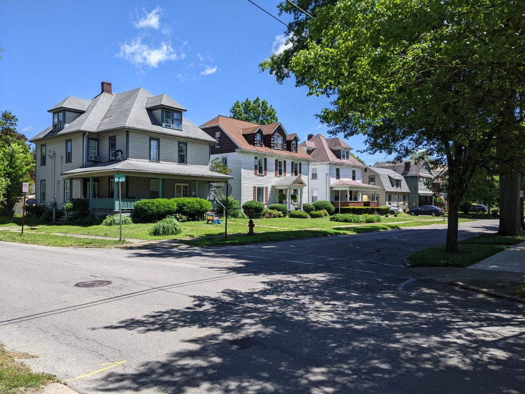
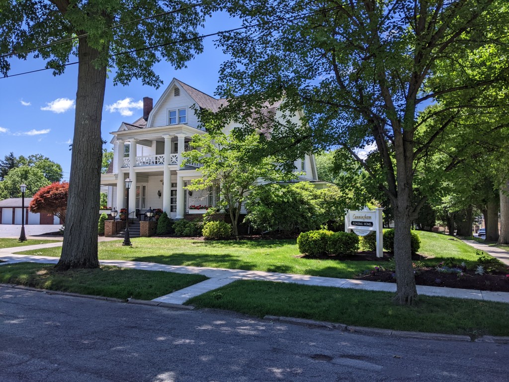
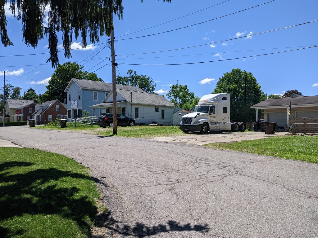
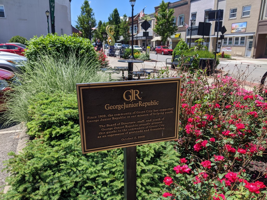
While the bridges themselves were structurally uninteresting, except for the Rainbow Bridge, I visited a throughout cross-section of town in walking them….which is the point of my bridge walking habit. My path took me through the college campus, the now less prominent industrial area, the large homes built for the boss class of the industries, the small homes built for the industrial workers, and the business district, both the car oriented portion and the historic portion. There are several bridgeless neighborhoods that I did not visit, but even without them, I learned a lot about the town in a short space of time.
Grove City Bridges
Grove City Cross-Section
I don’t know if this is true in other states, but Pennsylvania lets municipalities of any size call themselves cities. ↩︎
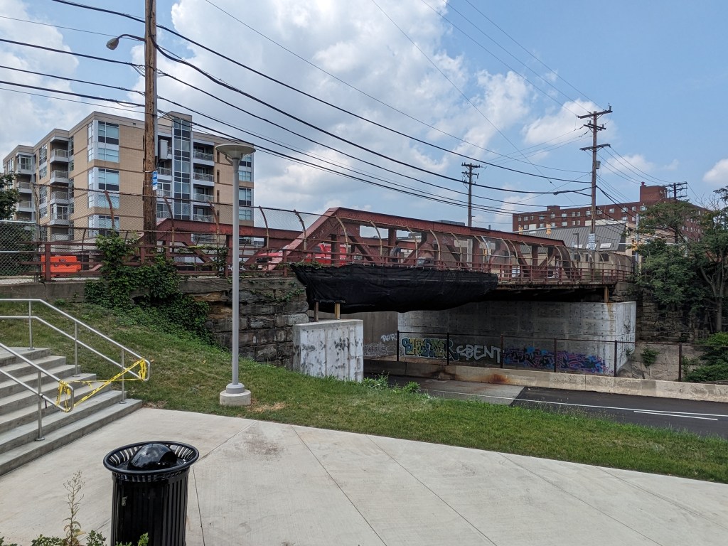
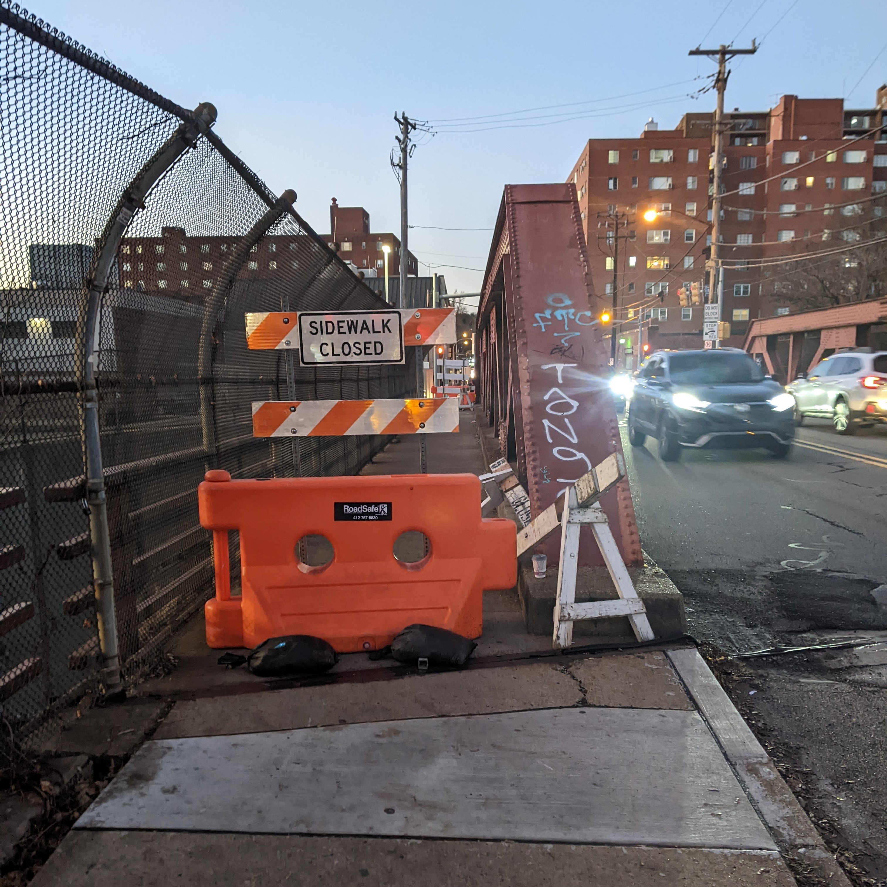
Bridge accidents is a common theme this year. The most significant was the collapse of Baltimore’s Francis Scott Key Bridge in March 2024 after being struck by a malfunctioning container ship. However, other accidents happened to bridges in the Pittsburgh area. Weeks after Baltimore’s bridge collapse, the Sewickley Bridge, a few miles downriver from Pittsburgh, closed for a day after being struck by runaway barges (WTAE, April 14, 2024). Then, in August, a dump truck struck an unused railroad bridge in Pittsburgh. The road underneath closed temporarily while the obsolete and now damaged bridge was removed. The adjacent, active railroad bridge remains. (WTAE, August 16, 2024)
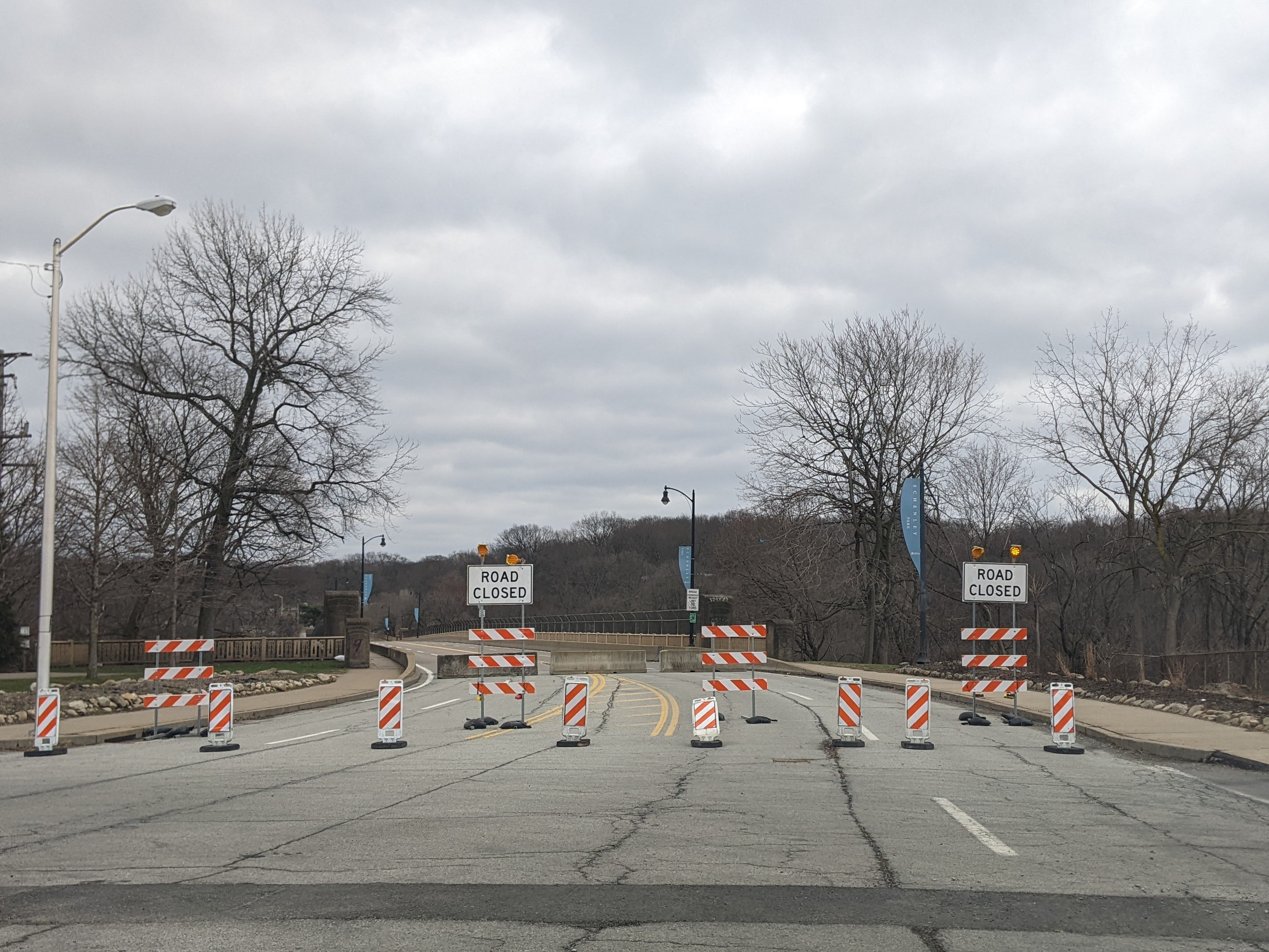
Meanwhile, Pittsburgh continues to preemptively close bridges or restrict traffic to reduce the chances of another bridge collapse. The most recent of these is the full closure of Panther Hollow Bridge announced October 19, 2024, with immediate effect. It is called a temporary closure while the City of Pittsburgh figures out what it needs to do for the bridge. (Mayor’s Press Release, October 19, 2024) Other recent “temporary closures” of Pittsburgh bridges have turned into sporadic periods of closure and opening (Swindell Bridge) or a years-long closure while funding is found and repairs are implemented (Charles Anderson Bridge).
Another common restriction we are seeing in Pittsburgh bridges is sidewalk closures while vehicular traffic remains unaffected. Pittsburgh’s South Negley Avenue bridge is one of the bridges in town that is poised as a pending disaster. In acknowledging the structural issues of this bridge, the west sidewalk was closed in 2022. However, I noticed that by July 2023, the barriers on that sidewalk were pushed aside and it wasn’t clear if that was an official move or if pedestrians had taken matters into their own hands. Then, in June 2024, first the eastern sidewalk was closed with a temporary protected pedestrian pathway installed in the car lane (Mayor’s Press Release, June 6, 2024) and then, a week later, the western sidewalk was again closed (Mayor’s Press Release, June 17, 2024). Why this “safety” measure is helpful is beyond me as this bridge has been earmarked for replacement for years pending funding and access issues. Also, the Smithfield Street Bridge sidewalk always has rusted out holes showing the river flowing below that eventually get patched without closing the sidewalk.
Bridges are a vital connectors that enable us to move around as we live our lives. Frequently, we don’t even realize there’s a bridge there…at least not until there’s a bridge disaster. Over the last few years, there have been several bridge disasters, some due to accidents, like the collapse of Baltimore’s Francis Scott Key Bridge in March 2024 after being struck by a malfunctioning container ship, and some due to deferred maintenance, like the collapse of Pittsburgh’s Fern Hollow Bridge on an icy, cold morning in January 2022.
We have seen recently that when there is motivation, the missing links caused by bridge disasters can be repaired in record time. Pittsburgh’s Fern Hollow Bridge was completely rebuilt and opened to traffic 11 months after collapsing, instead of the usual multi-year process to design and build a new bridge. In Philadelphia, when an elevated section of I-95 collapsed after an accident in 2023, the repaired section reopened to traffic 12 days later, compared to 26 days for a similar situation in Oakland, CA. (PBS News, June 23, 2023)
Despite President Biden’s repeated request to Congress to expedite funds to replace Baltimore’s Francis Scott Key Bridge, Republicans in Congress are possibly motivated to delay so that President-elect Trump will get the credit for rebuilding this crucial transportation link. (Fox News Baltimore, November 8, 2024; WCBM, November 8, 2024) Unfortunately, Trump does not have a good track record for funding bridges.
It can be easy to overlook during the buzz of election season that there is often a delay between when a law is signed or a policy adopted and when the effects of that law or policy are felt. Bridges encapsulate that well. The memorable moments are when a bridge closes or collapses (typically viewed negatively) and when a bridge reopens (typically viewed positively). The moment when funds are allocated, the moment enabling a bridge to reopen at a later date, is not often remembered.
For example, it was front page news when the new Greenfield Bridge reopened in 2017, when Trump was President, but the funding that constructed the bridge was allocated when Obama was President. Similarly, the Charles Anderson Bridge has been closed to traffic for most of President Biden’s term in office, to the annoyance of many, but that is also when the funds were found to rehabilitate the bridge expanding the life of this historic bridge by decades. However, the reopening is projected to be in 2026, in the middle of Trump’s second term as President.
Assuming two years as the average time from funding to reopening on bridge reconstruction and rehabilitation projects, I pulled the Federal Highway Administration’s numbers for bridge construction and rehabilitation in Pittsburgh that would have been funded under the leadership of Presidents George W. Bush, Barack Obama, and Donald Trump. (FHWA InfoBridge) Given the delay between funding and completion, it is too early to measure the impact of funding under President Joseph Biden’s leadership.
Bush: 36 bridges total = 4.5 bridges per year
Obama: 76 bridges total = 9.5 bridges per year
Trump: 9 bridges total = 2.25 bridges per year
Bridge maintenance and repair rarely happens without support from federal funding. When the bipartisan infrastructure bill passed under President Biden’s leadership runs out of funds, or those funds get diverted to Project 2025, I am skeptical that new funding for bridges will be found under the leadership of President-elect Trump. Therefore, I expect more bridge disasters or, at the very least, more indefinite bridge closures in the coming years.
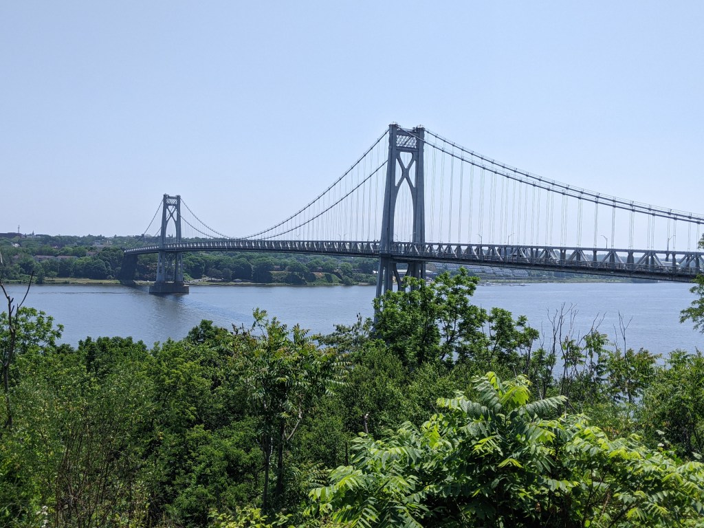
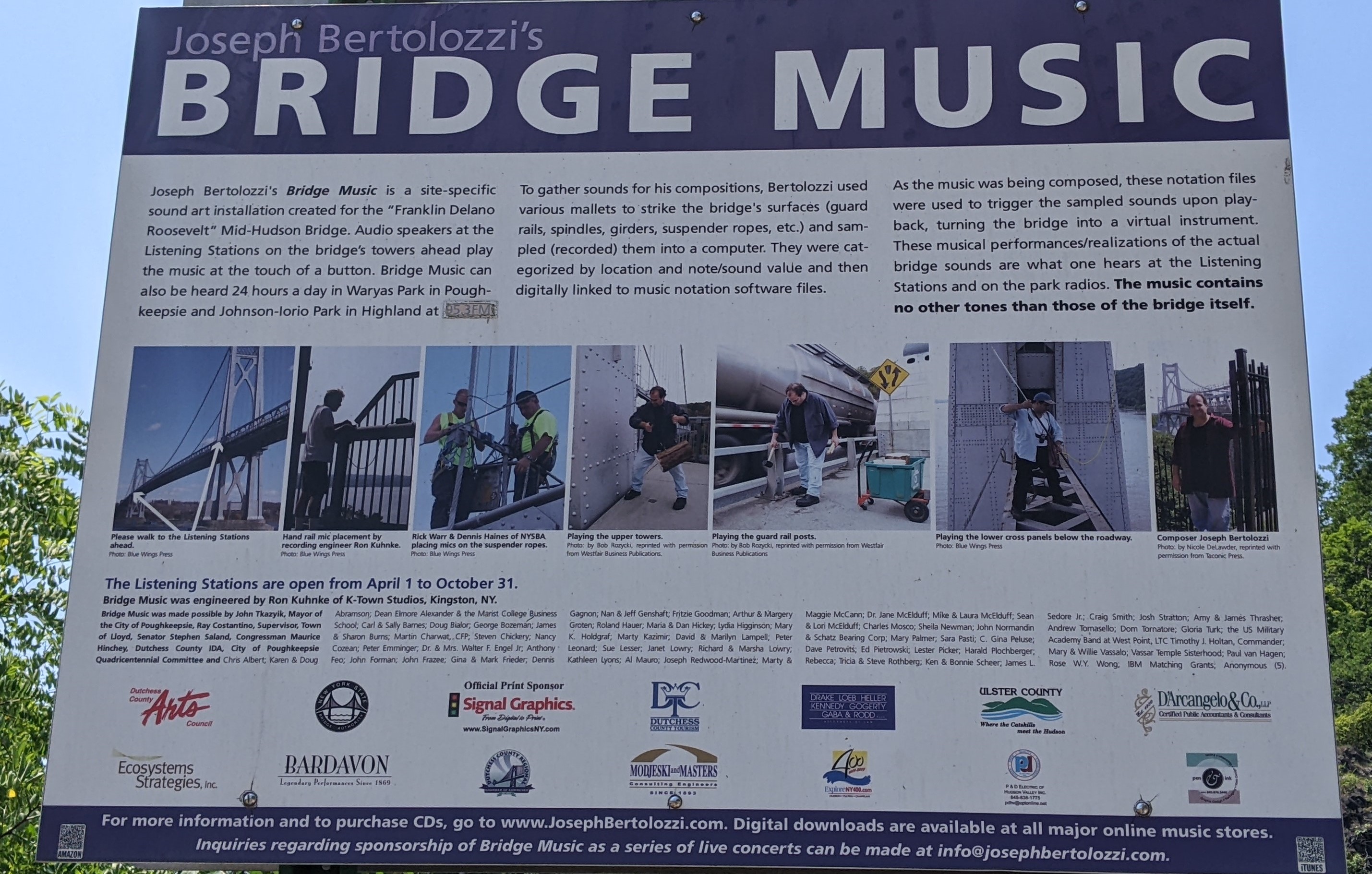
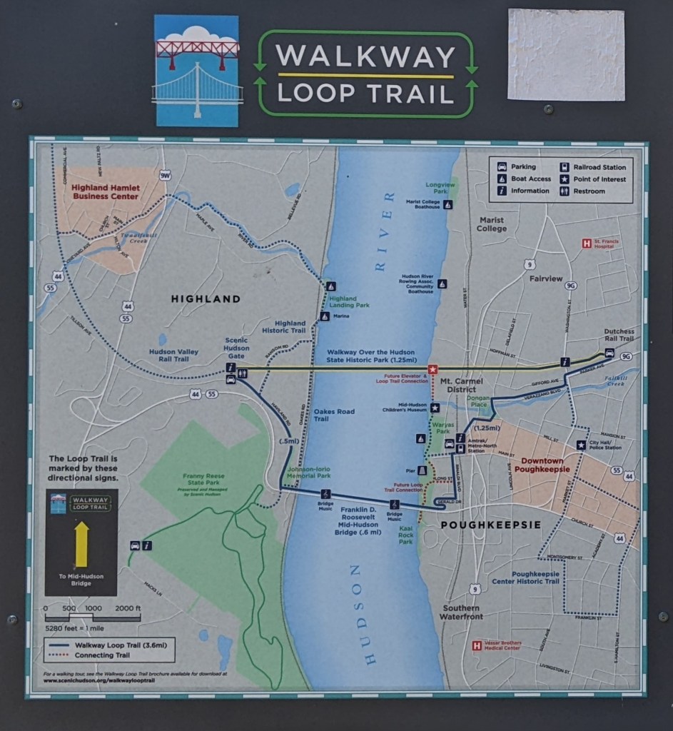
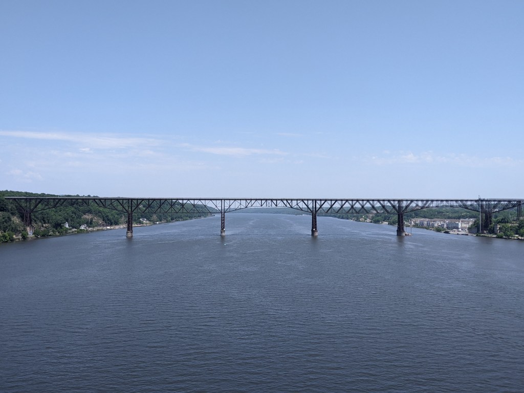
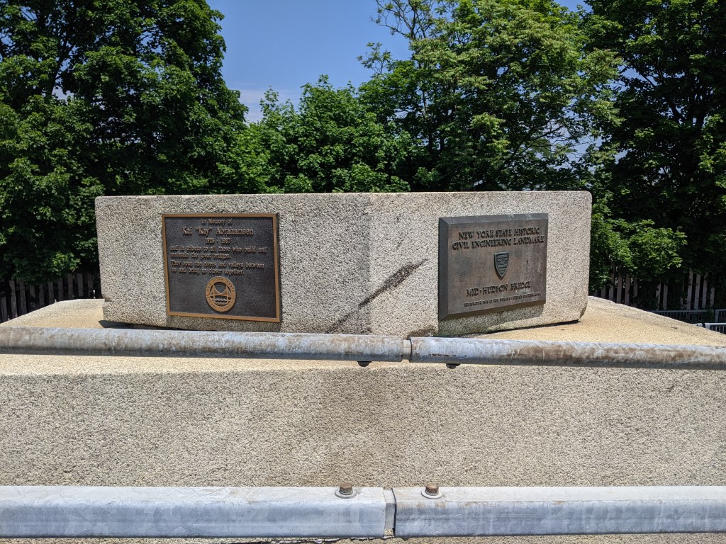
The Mid-Hudson Bridge has a unique additional feature. In 2009, Joseph Bertolozzi used the bridge as the sole instrument in his sound-art installation Bridge Music (see Bertolozzi’s official website for more information). There are two listening stations on the bridge, one at each pier, and those driving across the bridge can also access the music on their car radio. The full Bridge Music is available on CD and Bertolozzi has several YouTube videos of the music. Below is a sample of the music I captured in a video with views of the Hudson River and the two bridges (the Walkway Over the Hudson is the second bridge).
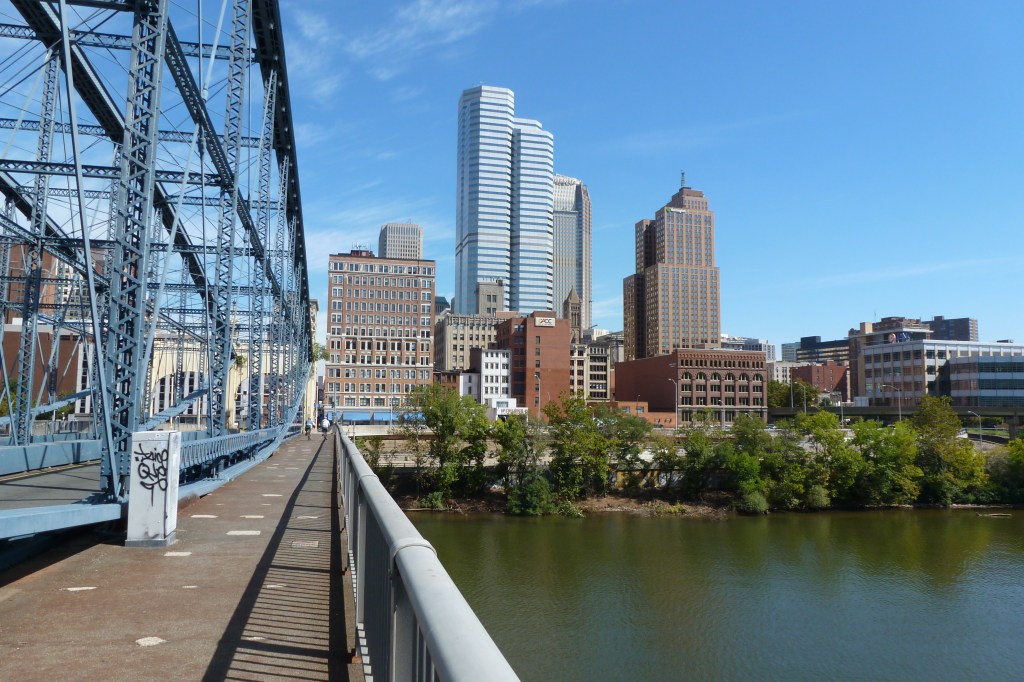
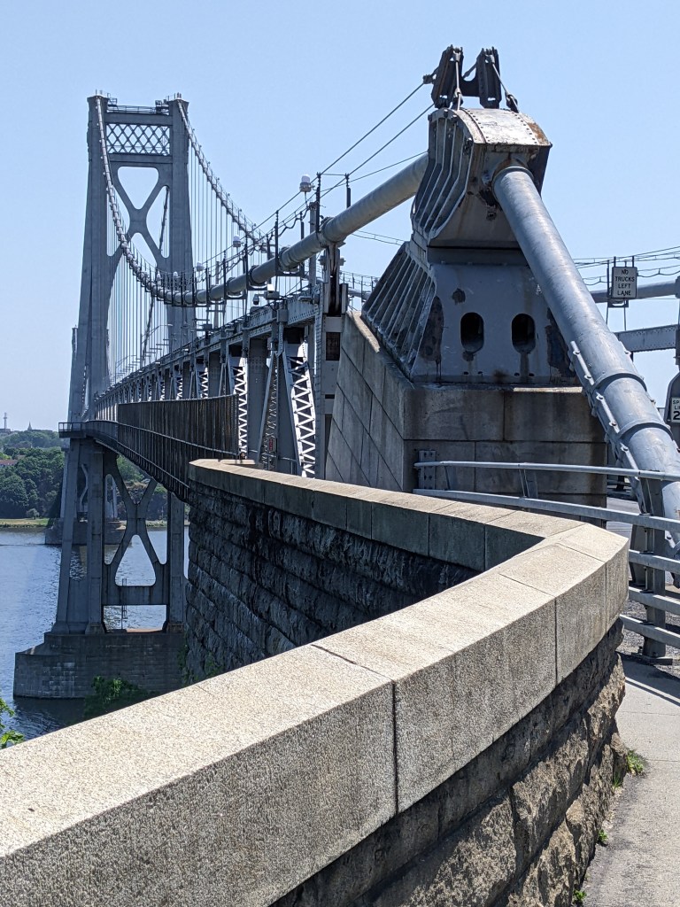
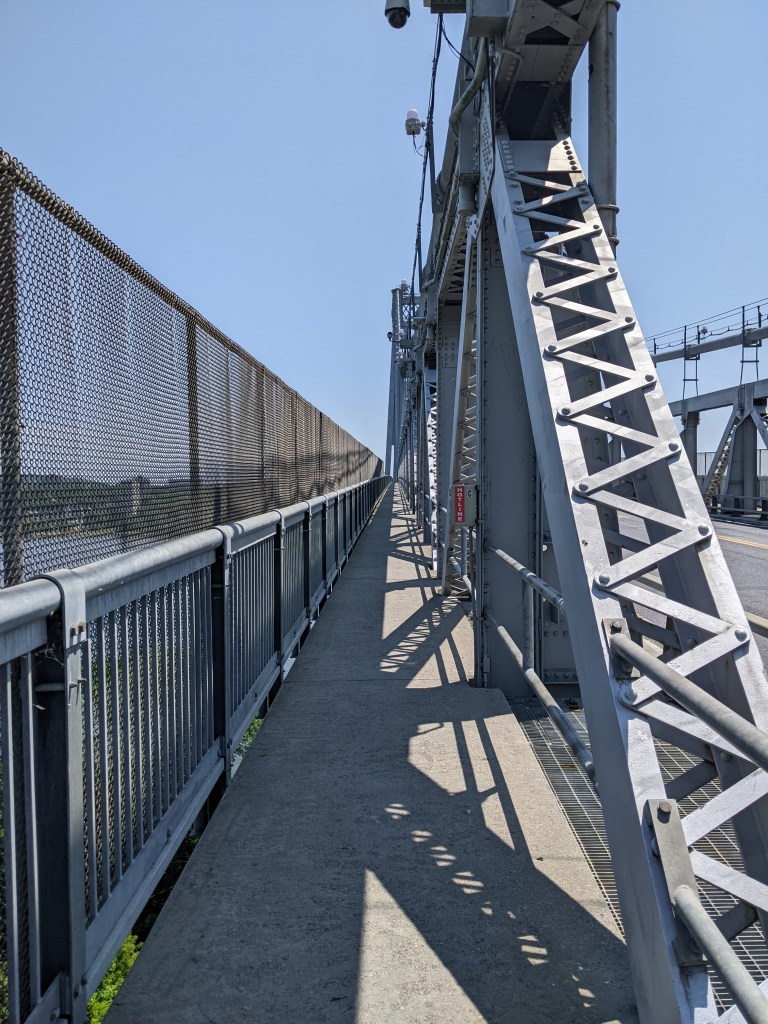
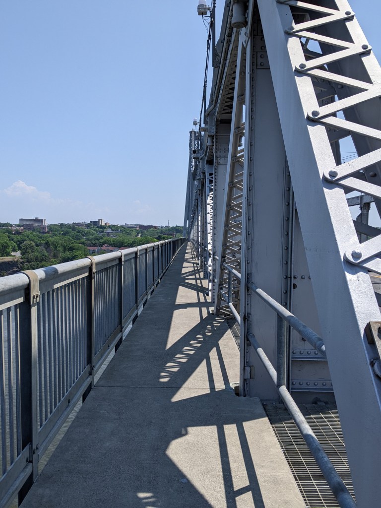
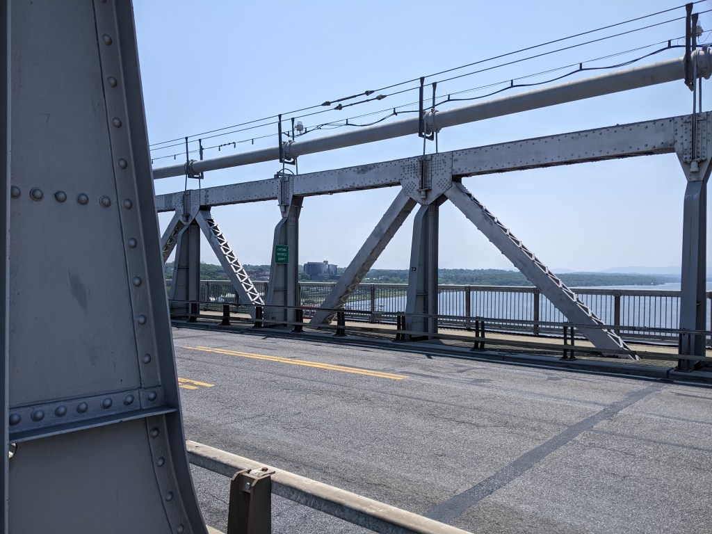
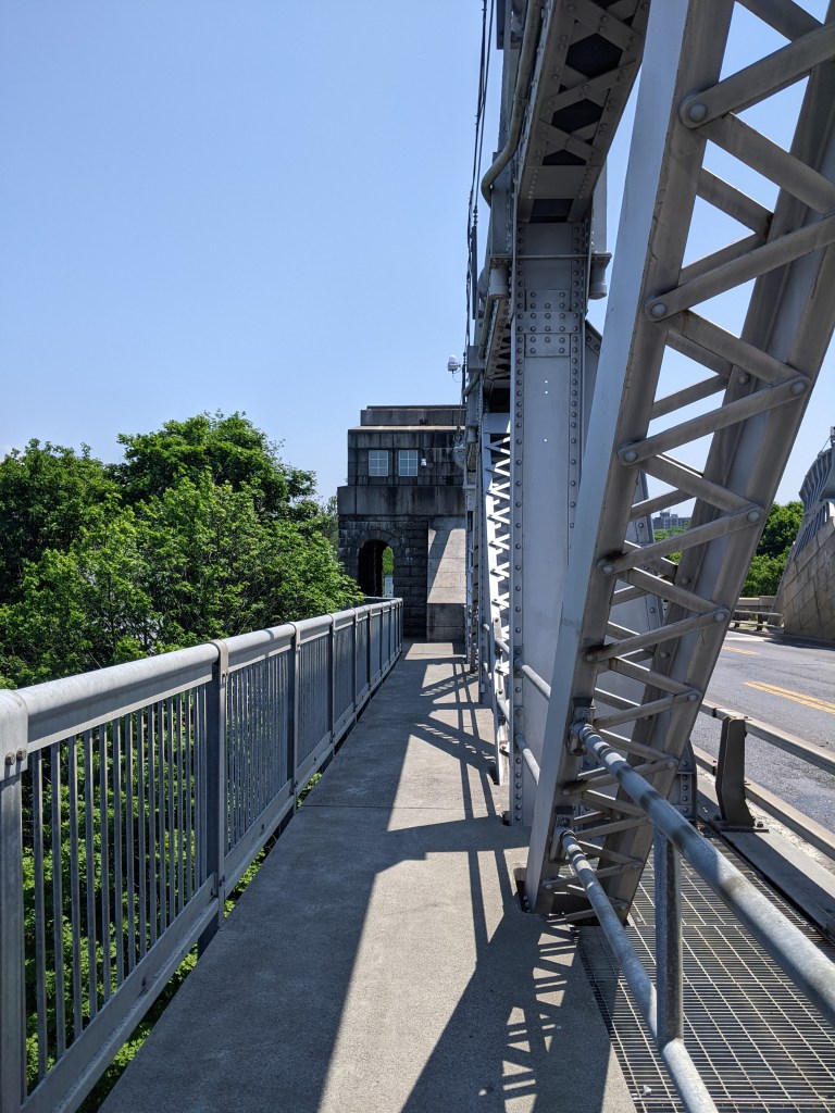
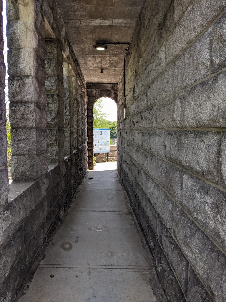
Half a mile downriver from the Walkway Over the Hudson (slightly closer as the crow flies) is the Mid-Hudson Bridge, so named for being halfway between New York and Albany. After being completely exposed to the noonday July sun on the Walkway Over the Hudson, I learned the relief of shade that can be had on a bridge, particularly when it incorporates some truss-like structure like the Mid-Hudson Bridge. I remember being completely in the shade while walking the Manhattan Bridge, but as that was in late December it had a completely different effect.
Taking in the Mid-Hudson Bridge added significantly to the length of my walk, but was worth it for the shade and the ability to add another bridge to my ever-growing list of walked bridges. I also encountered signs for “Bridge Music” on my way to this bridge which intrigued me and which I’ll explain further later.
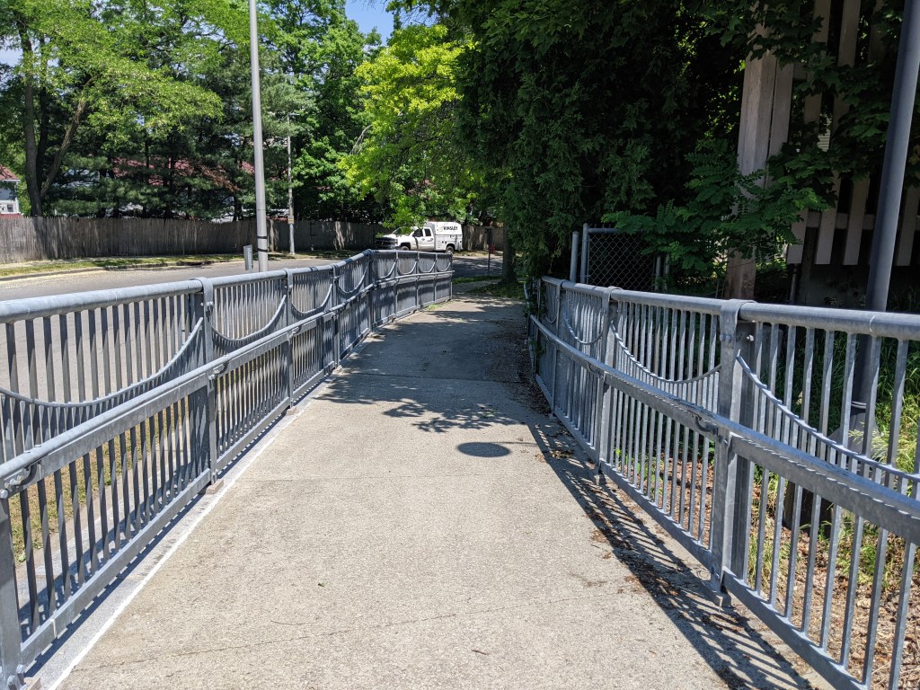
Once again, additional fencing is provided on the portion of the bridge that crosses over the railroad tracks. Other than that pinch point and one or two other pinch points, my photographs suggest to me that this was a very pleasant bridge to walk. And overall, I think it was, but I was quite spooked by the number of signs warning pedestrians not to aggravate the nesting peregrine falcons on the piers. It wasn’t clear from these signs what behaviors would be sufficient to aggravate these predators, but I took the signs to mean that these birds were more sensitive than the ones found on tall buildings in Pittsburgh and curtailed my observations of and from the bridge accordingly.
I also tested out taking video of a portion of the walk of the bridge. This is something I have been considering as another way to share the experience of bridge walking with my readers. The video is below the sample of photographs. As I am holding my phone in my hand to take the video, there is a little bounce from my gait and some other slight stability issues.