Willimantic Frog Parade 3

Walking toward the spires in Scranton, PA, I started and ended in Downtown and explored a portion of the Medical and University neighborhoods. Like Pittsburgh and Buffalo, the few religious buildings I found in the heart of downtown remained active. In the adjoining neighborhoods, I found several active religious buildings and others that had been converted to new uses.
Of the 10 total buildings built for religion that I encountered, six remained active while four had been converted to secular uses. One former synagogue is now used for housing. Two former churches are now university buildings. One former church is now a children’s library. This sampling seemed representative enough to contribute to my observations on trends in adaptive reuse and population change. Scranton has experienced a 47% drop in population since its peak population in the 1930s. Based on this information, I expected to find several vacant and reused religious buildings. The surprise finding was that none of them appeared vacant when I got out on the ground.
I also noticed several religious buildings as I drove through the southern neighborhoods on my way home. Because I was driving, I didn’t have the ability to stop and take notes or photos of these buildings, but those that I noticed appeared to be either active religious buildings or active in a secular reuse.
The lack of vacant buildings may perhaps be explained by the recent population trends. While overall, the population is significantly down from the peak, in the last couple decades the decline in population has slowed and the 2020 census showed a miniscule increase in population. It is, so far, the only one of my comparison cities that had a major population drop and a recent increase in population. While Bethlehem and Stroudsburg also saw population increases in the 2020 census, they did not have the same steep drop since the peak population that Scranton and most of the other cities in this survey did.
| City | Population Loss Since Peak (Peak Year) | Population Change in 2020 | Status of Religious Buildings |
| Bethlehem | 1% (1960) | 0.86% | Primarily active sacred uses |
| Erie | 26% (1960) | -6.82% | Primarily active sacred uses |
| Homestead | 85% (1920) | -9.04% | Significant numbers closed or converted to secular uses |
| Pittsburgh | 55% (1950) | -0.96% | Significant numbers closed or converted to secular uses |
| Scranton | 47% (1930) | 0.30% | Significant numbers converted to secular uses |
| Stroudsburg | 14% (1950) | 6.47% | Primarily active sacred uses |
| Wilkinsburg | 49% (1950) | -10% | Significant numbers closed or converted to secular uses |
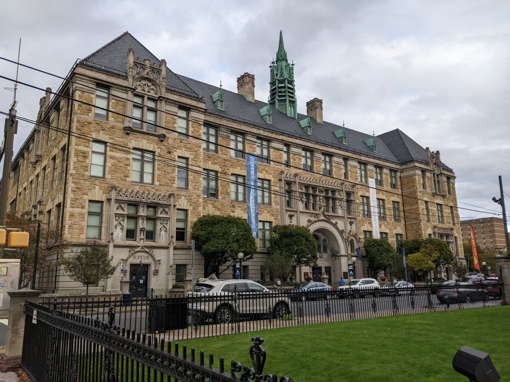
In addition to the religious and former religious buildings, I found 2 civic buildings and 1 school that sported spires.
When I visit a town, I have a habit of searching out the bridges and the spires to get a feel for the place. Buffalo is one of the most recent places where I applied this approach. Given the size of Buffalo (52 square miles with a population over 275,000), I wasn’t able to explore enough of the city on this trip to add to observations of population trends and adaptive reuse of the religious buildings. So instead, I focused on the spires I could see in downtown. Comparing this to Pittsburgh, where the downtown also has several spires and where I have done a pretty thorough survey of the entire city, I realized that neither Pittsburgh’s nor Buffalo’s downtowns would be indicative of the city-wide trends of adaptive reuse of sacred buildings. The development pressures of a downtown are significantly different from the outlying neighborhoods. In both cities, the religious buildings that survived the development pressures of a downtown have remained in active use.
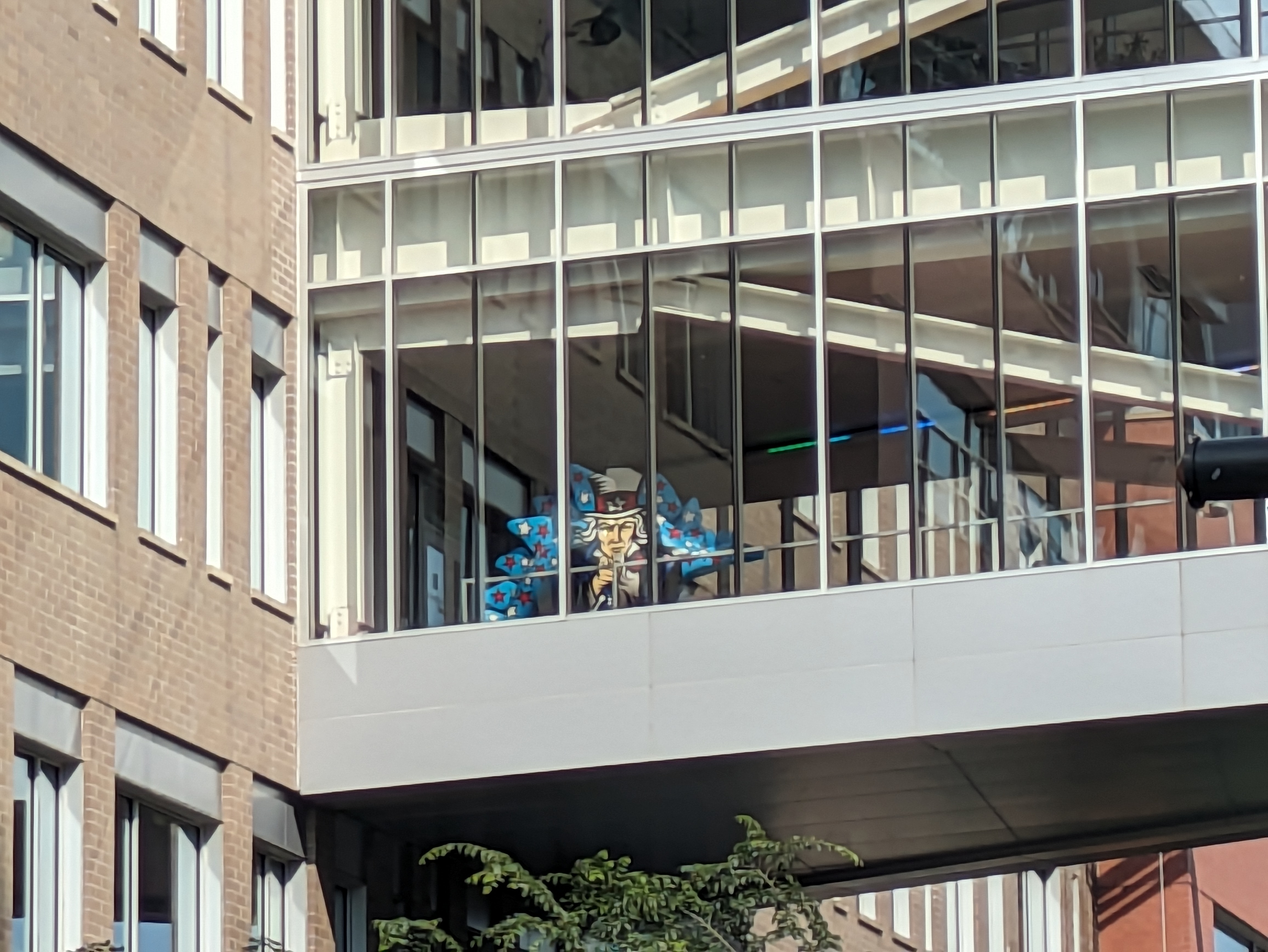
What struck me while walking toward the spires in downtown Buffalo was how I typically eliminate or discount spires for secular buildings that I find while on these searches. In Buffalo, I felt that if I’m calling my approach “the story of the spires” leaving out the secular spires leaves out a part of the story.1 The secular spires that caught my eye were for buildings across a spectrum of uses. The Erie County building (1872); a former US Post Office (1901), now a part of SUNY Buffalo’s campus; and the former headquarters of the Buffalo General Electric Company (1912), now an office building, were the three secular spires that caught my eye. These three buildings underscore the larger trend in monumental architecture passing from religious to government to corporate buildings.
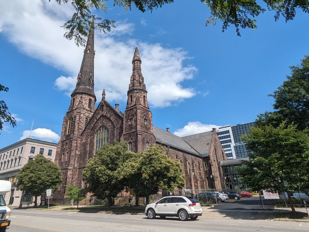
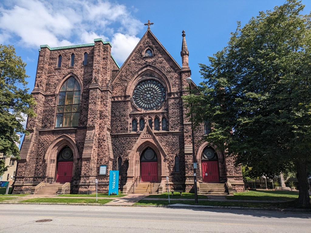
Below, I share photos of both the sacred and the secular spires that I found in downtown Buffalo.



I’ve written before about how some bridges pay homage to the ones they replaced. Pittsburgh’s Greenfield and Heth’s Run Bridges did this. When writing about those bridges, I assumed that this approach might reassure a community by honoring the local memory and thereby maintaining a sense of stability. However, this was only a guess. While I had used the old Heth’s Run Bridge hundreds of times, I didn’t know it was a bridge until shortly before its replacement and most of its characteristics features had been removed, buried, or eroded long before. I don’t know if I had ever been on the Greenfield Bridge before the day I intentionally walked it for this blog. So I had no emotional connection to that bridge. Therefore, I cannot speak personally about the homage these bridges paid to the past.
When I arrived in East Stroudsburg, the blood-red, rounded through-truss bridge was no longer there (officially, it was a Warren pony truss style). This bridge had been an important landmark for me as a child, probably because its design was distinctive. It made me smile when I saw the new bridge had paid homage to the shape of the former truss. While the change of color and style of the bridge was significant, I felt a sense of comfort at the continuity created by the way the new design acknowledged the former bridge.
Down the hill from this bridge is the Interborough Bridge. This bridge connecting East Stroudsburg and Stroudsburg used to be a through-truss, possibly also a Warren pony truss bridge. When it was destroyed by a flood in 1955, the replacement did not pay homage to the past. The plain replacement bridge is very utilitarian and not much else. My foot had reached the end of its stamina before I was able to walk across it on this trip – which was actually a relief. I walked across it at least once when I was a kid. I remember it feeling unpleasant. There are sidewalks, but the proportion of vehicles lanes is quite large, cars move fast, and either end features auto-oriented uses. The one nice feature of the bridge are the views of Brodheads Creek, but there are plenty other more pleasant vantage points to view the creek.
In another form of homage, Brodheads Creek, the dividing line between East Stroudsburg and Stroudsburg, is named after Daniel Brodhead. On this trip, I learned that in 1737 Daniel was the first white settler in the area to purchase his land from the descendants of William Penn instead of the Lenni Lenape, the indigenous people who still lived on the land. Although, Penn began purchasing the land that the King of England had given him from the Lenape in 1683, it seems that the area around East Stroudsburg and Stroudsburg had not been purchased by the Penn family before they started selling it to settlers. The Walking Purchase of 1737 attempted to resolve this issue, though it seems the terms of the purchase were not explained clearly the Lenni Lenape beforehand. (Monroe County Historical Association, November 11, 2005; Pennsylvania Historical & Museum Commission)