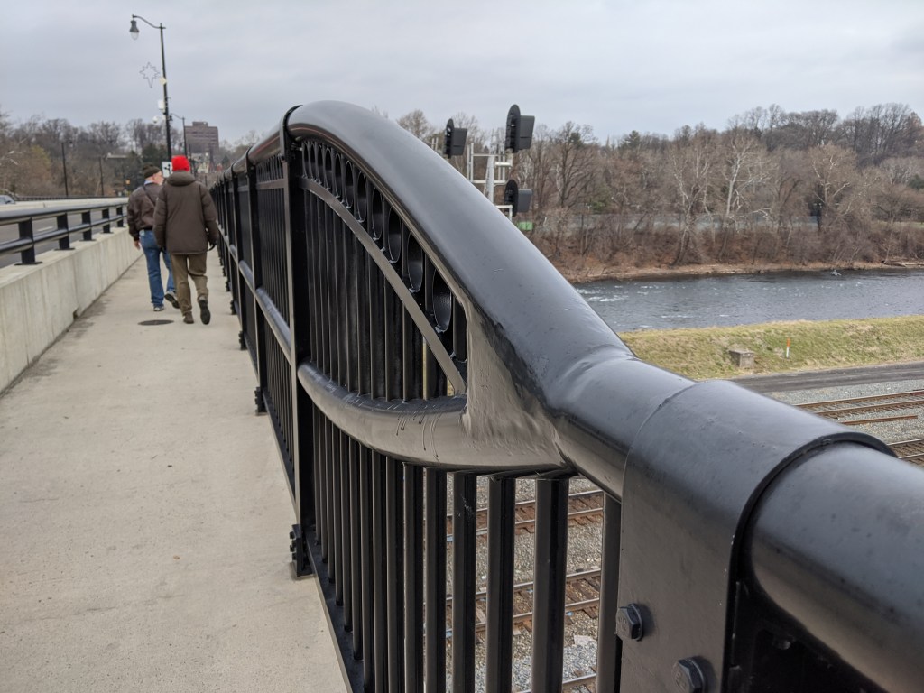
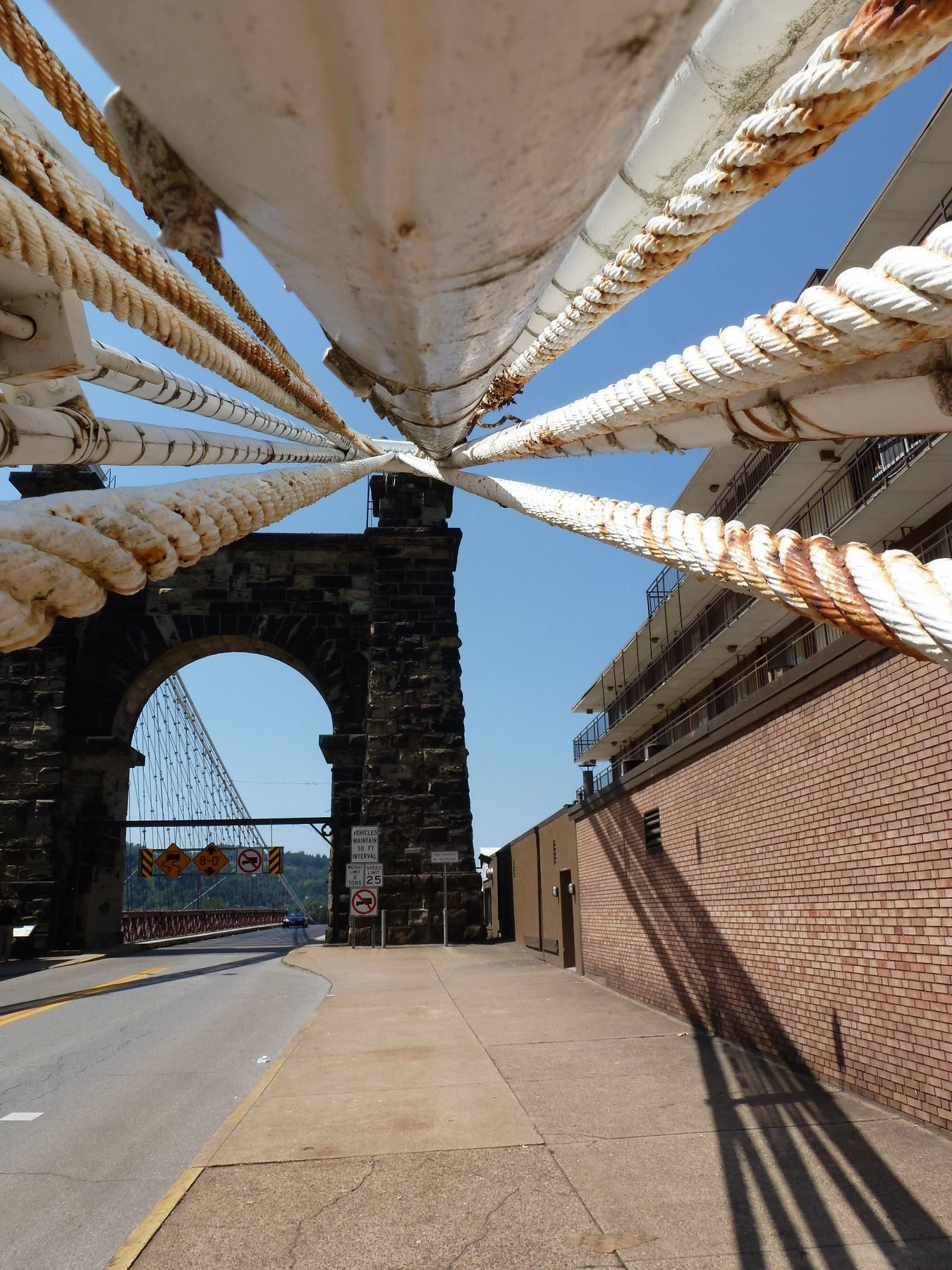
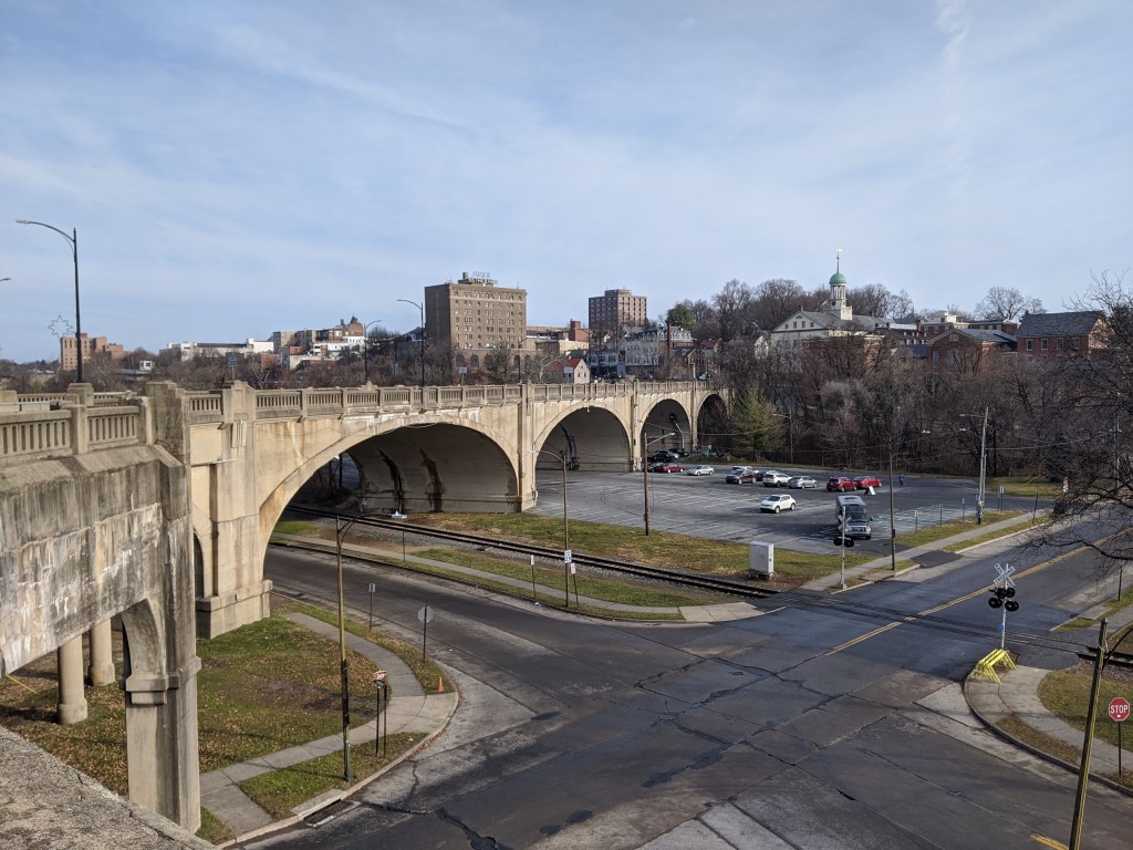
What is a Bridge? Chicago Edition II

While poking around the map collection at Chicago’s Public Library, I discovered that the structures carrying roads over the railroad tracks in Grant Park are considered viaducts. The word viaduct brings to my mind a Roman structure soaring over a valley floor and conveying a flat road on top of towering stone arches. The Chicago “viaducts” do not fit that image. To me, they look like bridges with no striking difference between them and Chicago’s river bridges other than color and style of ornamentation. Both groups of structures have fairly flat roadbeds supported by piers. I am puzzled why one set of structures is called bridges and the other viaducts.

The main difference seems to be that the bridges are crossing a body of water while the viaducts are crossing an obstacle on land. This doesn’t feel like the answer, though. I’ve walked over 50 bridges in Pittsburgh, the majority of which are over land. Not one of these structures is called a viaduct. To help find clues to solve this puzzle, I looked up the definitions of bridge and viaduct.

Merriam-Webster’s definitions are not much help:

Viaduct: a long elevated roadway usually consisting of a series of short spans supported by arches, piers, or columns

Bridge: a structure carrying a pathway or roadway over a depression or obstacle

The Oxford English Dictionary has similar definitions:

Viaduct: an elevated structure consisting of a series of arches or spans, by means of which a railroad or road is carried over a valley, road, river, or marshy low-lying ground

Bridge: a structure forming or carrying a road, path, or (in later use) a railroad, etc., which spans a body of water, a roadway, a valley, or some other obstacle or gap, and allows a person or vehicle to pass unimpeded over or across it

Based on these definitions, the features that seem to distinguish a viaduct from a bridge are elevation and short spans. This still doesn’t help solve the question of why the Grant Park structures are viaducts and the Chicago River structures are bridges.

Next, I turned to “How to Read Bridges” by Edward Denison and Ian Stewart. The glossary defines viaduct as “a type of bridge over land formed by a series of small (usually arched) spans.” This definition seems to work best for the viaducts in Chicago. They are over land and have a series of spans, though the spans are not arched.

To further develop my understanding, I paged through the nine examples of viaducts in “How to Read Bridges.” All nine examples are elevated (such as the 330-foot high Goltzsch Viaduct and the 407-foot high Garabit Viaduct) and have multiple arches or piers (such as the 21-arch Glenfinnan Viaduct, the 8-arch Wharncliffe Viaduct, and the 5-pier Busseau Sur Grusse Viaduct). All, but one, have no support system above the road deck. The exception is the Millau Viaduct, which uses a cable-stayed deck on top of seven piers that range from 253 feet to 800 feet tall. All, but one, are over land. The Garabit Viaduct spans the Truyère Valley and one-third of its length crosses the Truyère River. In another example, the approaches to the Cubzac-les-Ponts over the River Dordogne are considered viaducts, but it is a bridge that crosses the river.

I find myself again at a loss. While the definition in this book seems to work for the Chicago viaducts, the examples do not look like the Chicago structures. To help the Chicago viaducts fit in, I propose a new definition built from the three definitions and nine examples above:

Viaduct: an elevated roadway, supported by many arches or piers over land.

Yet, there are exceptions to every rule. The nine examples in “How to Read Bridges” include exceptions to the support system of the viaduct and to the obstacle spanned by a viaduct. Expanding upon this, the Chicago viaducts, which are supported by multiple piers over land, become the exception to the elevated part of the rule or definition.

My biggest take away is that it is no easier to define a viaduct than it is to define a bridge. In most cases, as with bridges, a viaduct is something you know when you see it, even if you cannot define it. However, sometimes it takes a label or a sign, such as the maps of Chicago’s viaducts and, prior to its restoration, the maps of Heth’s Run Bridge, to know what you are seeing.


Additional Posts in Series:

In Search of Roebling

P1070036

Last summer’s search for Roebling bridges (see Market St, Steubenville and Wheeling Suspension Bridge) came to a successful end as a golden sunset spread over Cincinnati.  The reason we struck out earlier in the day is that the Cincinnati-Covington Bridge is one of the two remaining Roebling suspension bridges.  The other is, of course, his most famous bridge: the Brooklyn Bridge.  The first of Roebling’s five suspension bridges was built in Pittsburgh at the site of the current Smithfield Street Bridge, but lasted less than 40 years before the increased river and road traffic made it obsolete.

P1060937

Between Roebling’s two remaining bridges, I found the Cincinnati bridge more appealing.  Its character feels like it would fit right in on the Thames in London.  I also appreciated the engaging green spaces at either end.  The birds liked this bridge, too.

P1070038

Sunset from the Roebling Bridge


Brooklyn Bridge

119 (1024x768)

Yesterday, as I was writing my post about the Wheeling Suspension Bridge by Roebling’s competitor, I was fascinated to discover that I never wrote a post about my walk across the Brooklyn Bridge. I decided to rectify the situation. The more I worked on it; the more fascinated I became. At this point, nearly 5 years after having walked it, all I can surmise is that I must have been very tired and/or hungry while crossing it.

In my post on the Manhattan Bridge, I mention how much more I liked that bridge than the Brooklyn Bridge. I can remember how much more thought provoking I found the Manhattan Bridge, but in looking back at my photos, I am shocked at how uninspiring I found the Brooklyn Bridge. I think it may hold the record for the fewest number of photos I’ve taken of any of the bridges I have walked. Especially, if we look at number of photos versus the length of the bridge. I suppose there may have been some other factors such as the construction zone on parts of the bridge.

144 (1024x768)

Another factor may have been the fact that the walkway is in the center of the bridge and above level of the traffic. While I remember this as a highlight and an intriguing part of the bridge, I also seem to recall that it may have caused interference with framing any potential photos.

156 (768x1024)

I will take back some of my comments on the Wheeling Suspension Bridge. While both bridges do have a lot of structural parts holding them up, those of the Wheeling bridge were much more fascinating. This may in part have been because you were able to get up close with them.

Below are the views of the surroundings. On one side you have the Manhattan Bridge and on the other the Statue of Liberty. That is just about the extent of the photos I took from the Brooklyn Bridge.

154 (1024x768)

166 (1024x768)

I feel that I ought to give this bridge a second chance. If/when I ever make it back to New York City, I think I will have to walk it again (maybe after a good meal). The problem here is that my last trip there in 2012 when I first walked the bridge confirmed for me that New York is really not the city for me and I have no plans to make a trip back anytime soon.


Wheeling Suspension Bridge

Wheeling Bridge - straight on

I had a blast with the Wheeling Suspension Bridge.  First, I was fascinated by how it was squeezed between the buildings on the mainland side.  Second, as an early suspension bridge, it has many parts to ensure that it would stay up, which provided more than the average opportunity to attempt to be artistic in photographing it.

Artsy shot 1
Artsy shot 2
Artsy shot 3

The Wheeling Suspension Bridge was the largest suspension bridge in the world when it was built.  Charles Ellet won the competition to design the bridge over John Roebling.  There are some similarities in style between this bridge and Roebling’s Brooklyn Bridge with the stone piers and suspension ropes.  Before we walked across this one and read the plaque, we were under the impression that it was a Roebling bridge.

Wheeling Bridge.jpg

Wheeling has two different trends of riverfront uses than those found in Stuebenville.  On one side of the river (island side), is riverfront housing of surprisingly old construction.  On the other side (city side), is a modern riverfront park with bike trail.

Riverfront homes
Riverfront park

Market St, Steubenville


Market St Bridge

On a road trip this summer, one of the goals was to search out and walk interesting bridges.  The first bridge we stopped at was an unplanned eye-catcher.  We went to Steubenville in order to drive across the iconic Veteran’s Memorial Bridge.  Heading south from that bridge, our eyes were caught by this one.  So we took an unscheduled stop to walk across.

This is the Market Street Bridge in Steubenville, OH.  The best part about this bridge was that it marked the first time I walked across a state line by bridge.

West Virginia sign

The other thing that fascinated me while walking this bridge was the uses on along the river.  On the West Virginia side, it was all wilderness at the end of the bridge, but further downriver an active mill could be seen.

Mill view

On the Ohio side, the feature river-side uses were the sewage treatment plant and the jail.

Sewage Plant view

Jail view

The innocent looking brick building is the Jefferson County Justice Center and Jail.  While I can image the sewage plant was probably a long standing use on the river side, the jail appears to be of more recent construction.  After a short internet search, I wasn’t able to find the date of construction of this building, but did find out that this was the third jail.  The second jail was built around 1950 and converted to offices when this building was constructed.  If I were to hazard a guess, I would say this third jail was probably built around the time that the Allegheny County Jail was built on riverside property in the Pittsburgh, PA.  That jail opened in 1995.

I find it fascinating that riverfront property has been used more than once to locate a jail.  Historically, industry settled along the rivers because that was either its main transportation or power source.  Recently, cities have been taking strides to reclaim their riverfront properties as economic boosters in the form of parks and entertainment venues or housing.  In both these scenarios, the uses are placed on the rivers due to the greater economic benefit to be gained from the interaction between the use and the river.  Placing a jail on a river seems contradictory to the view of rivers as the heart of a city’s economy (previously industrially based, now tourist based).

However, the rivers may confer a benefit of another sort to the use of the property as a jail.  When I was recently confined to a hospital room for a week, the sight of the small sliver of river that I could see from my window went a long way toward helping me stay sane.  It also prompted some more contemplation about the siting of hospitals in a way I had never considered before.  The view I had of the river was beyond a sea of parking associated with the hospital and partially blocked by the buildings for a water treatment facility.  There was little of interest to see in the immediate vicinity.  I hope that in the case of the jails, the river view windows are for rooms and the non-river view windows are for offices and/or back-of-house operations.

Big Dam Bridge

Big Dam Bridge signThe name says it all. This bridge was built as the longest pedestrian- and bicycle-built bridge in the country spanning 4,226 feet across the Arkansas River, connecting Little Rock and North Little Rock. It is part of the Arkansas River Trail.

Big Dam Bridge

On a trip to Arkansas this winter, I discovered this bridge and naturally had to add it to my list of bridges I’ve walked across. The intention of my trip to Arkansas was to visit friends but also to get a break from the cold northern winter by heading south. When I bought my tickets in January, the Little Rock region was having 60 degree weather. A month later when I arrived, the high was 26.

View of Pinnacle Mountain from the Big Dam Bridge

View of Pinnacle Mountain from the Big Dam Bridge

View toward downtown Little Rock showing Rebsaman Park

View toward downtown Little Rock showing Rebsaman Park

By the time we reached the half-way point of the bridge, we were frozen stiff. The farther we got on the bridge the stronger the wind got, probably creating a wind chill factor closer to 20 degrees or less. After admiring the views from the midpoint for a minute, the cold and wind forced us to turn back toward the car.On the Big Dam Bridge

Top 10 Bridge Travel SitesWhile I didn’t make it all the way across, I can still say I’ve been on one of the Top 10 Bridge Travel Sites in the US. Now I just have to find the other 9 sites.