Homage in Bridge Reconstruction

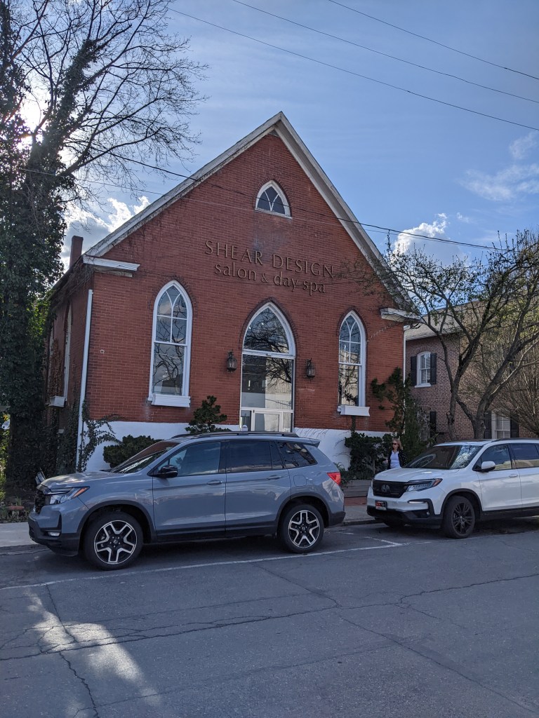
I’ve written before about how some bridges pay homage to the ones they replaced. Pittsburgh’s Greenfield and Heth’s Run Bridges did this. When writing about those bridges, I assumed that this approach might reassure a community by honoring the local memory and thereby maintaining a sense of stability. However, this was only a guess. While I had used the old Heth’s Run Bridge hundreds of times, I didn’t know it was a bridge until shortly before its replacement and most of its characteristics features had been removed, buried, or eroded long before. I don’t know if I had ever been on the Greenfield Bridge before the day I intentionally walked it for this blog. So I had no emotional connection to that bridge. Therefore, I cannot speak personally about the homage these bridges paid to the past.

When I arrived in East Stroudsburg, the blood-red, rounded through-truss bridge was no longer there (officially, it was a Warren pony truss style). This bridge had been an important landmark for me as a child, probably because its design was distinctive. It made me smile when I saw the new bridge had paid homage to the shape of the former truss. While the change of color and style of the bridge was significant, I felt a sense of comfort at the continuity created by the way the new design acknowledged the former bridge.

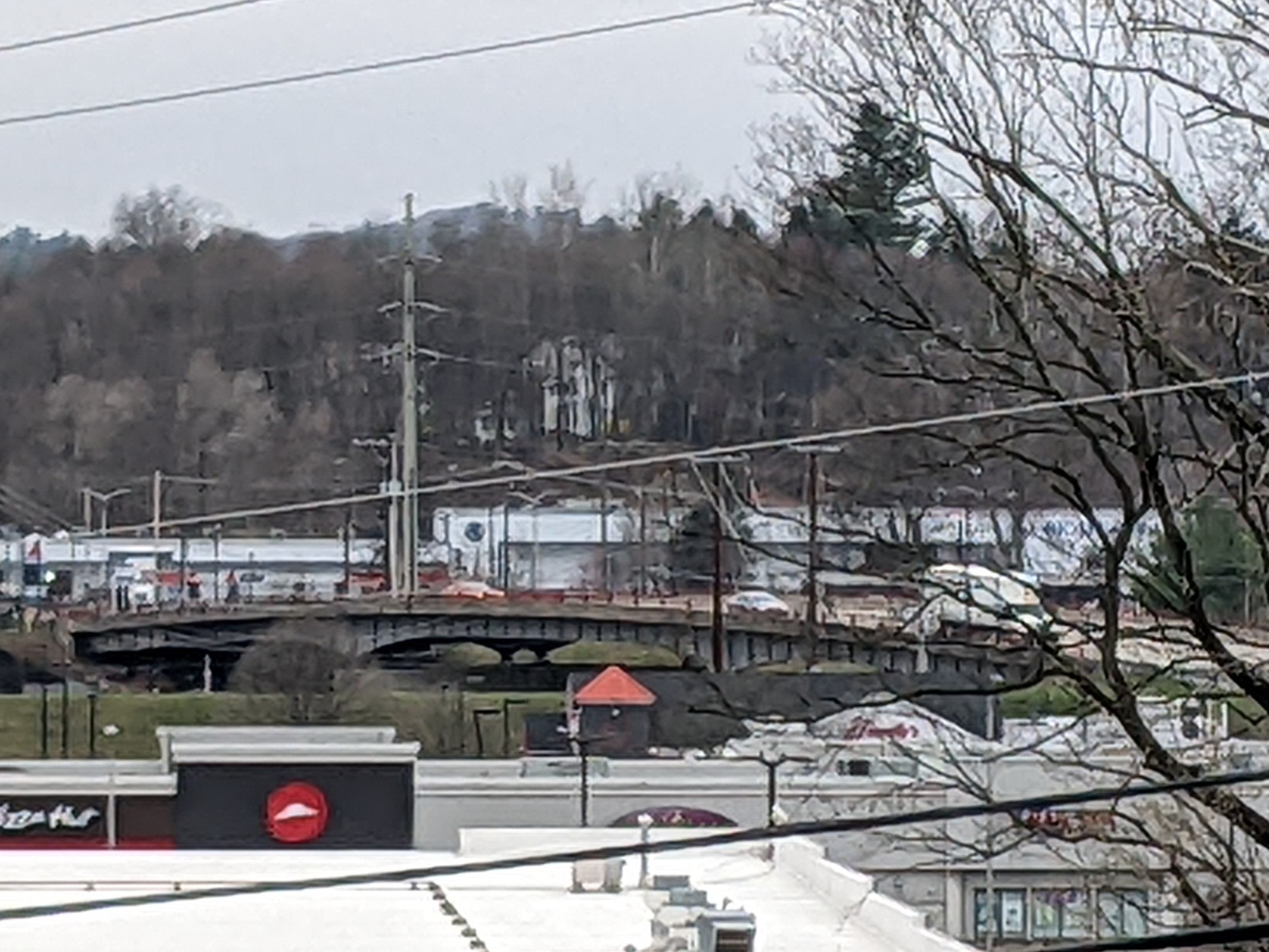
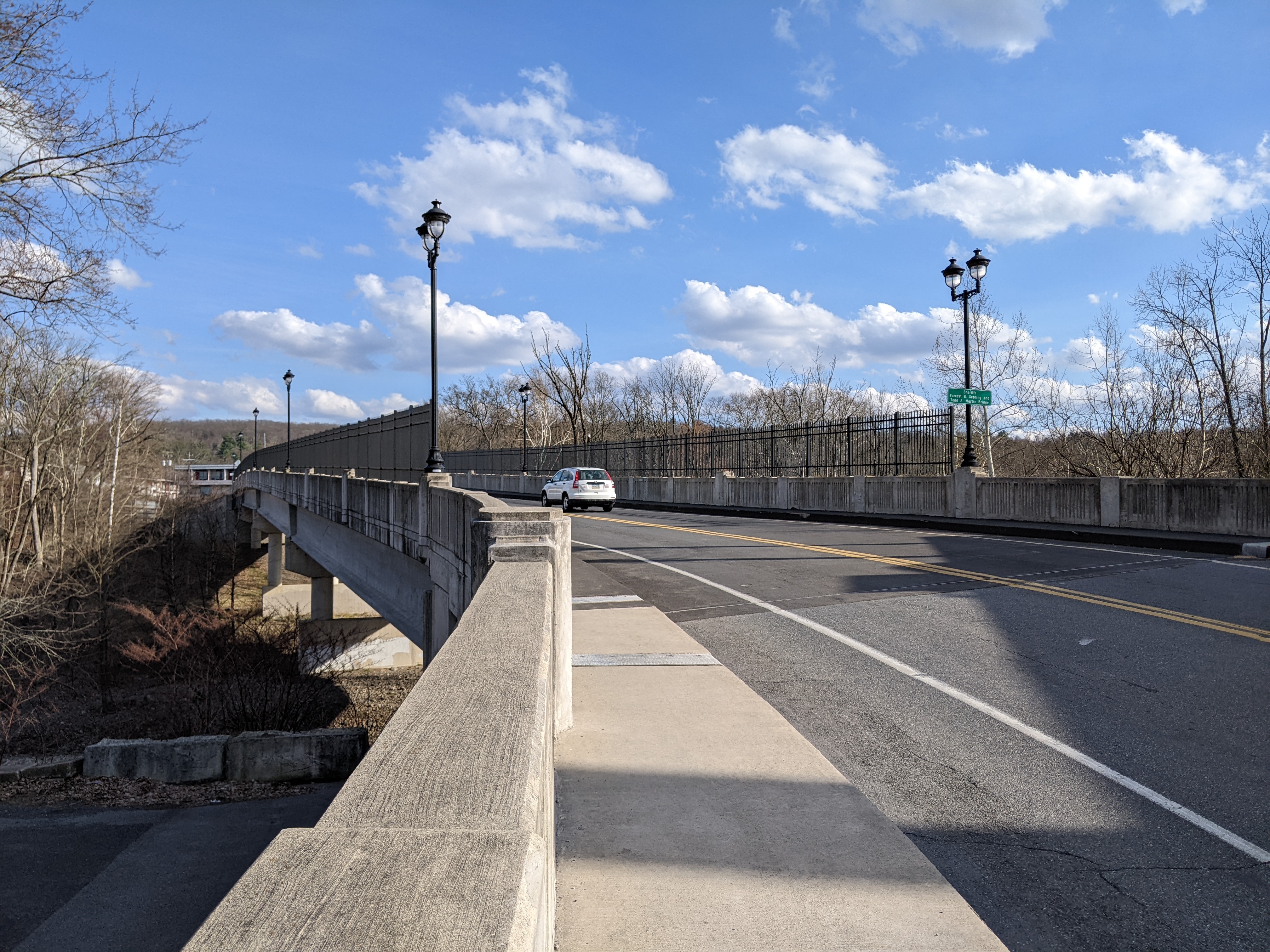
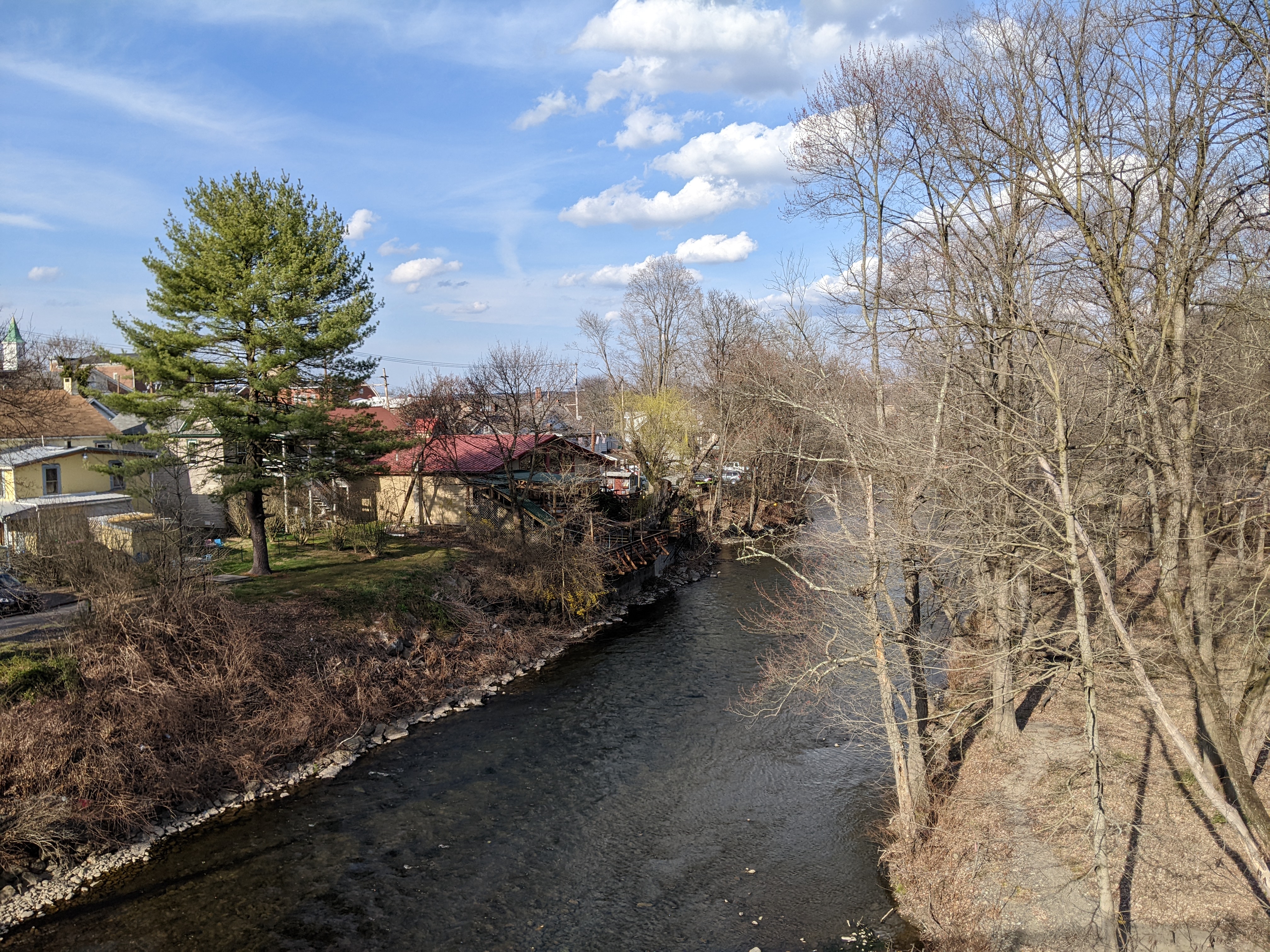
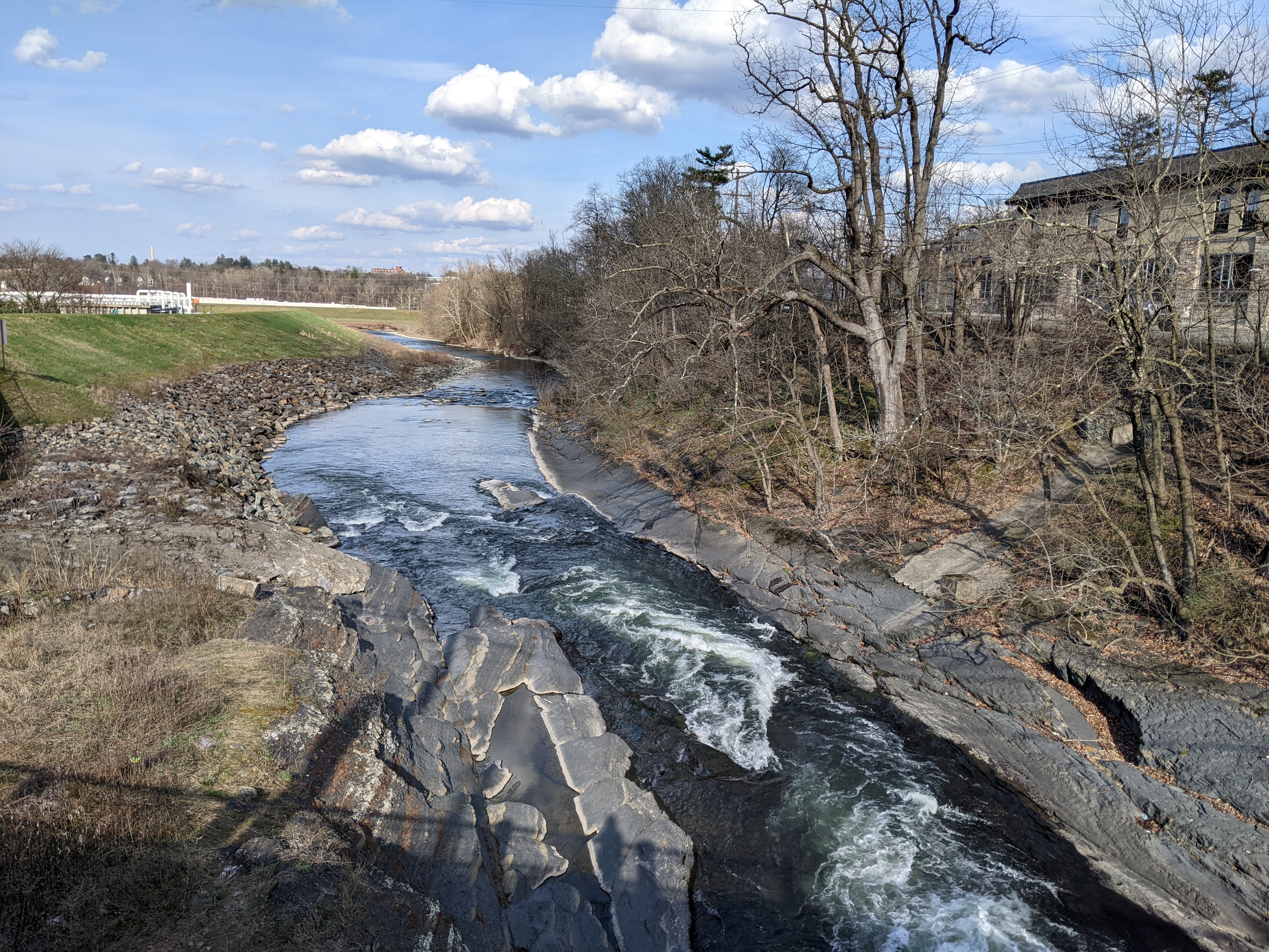
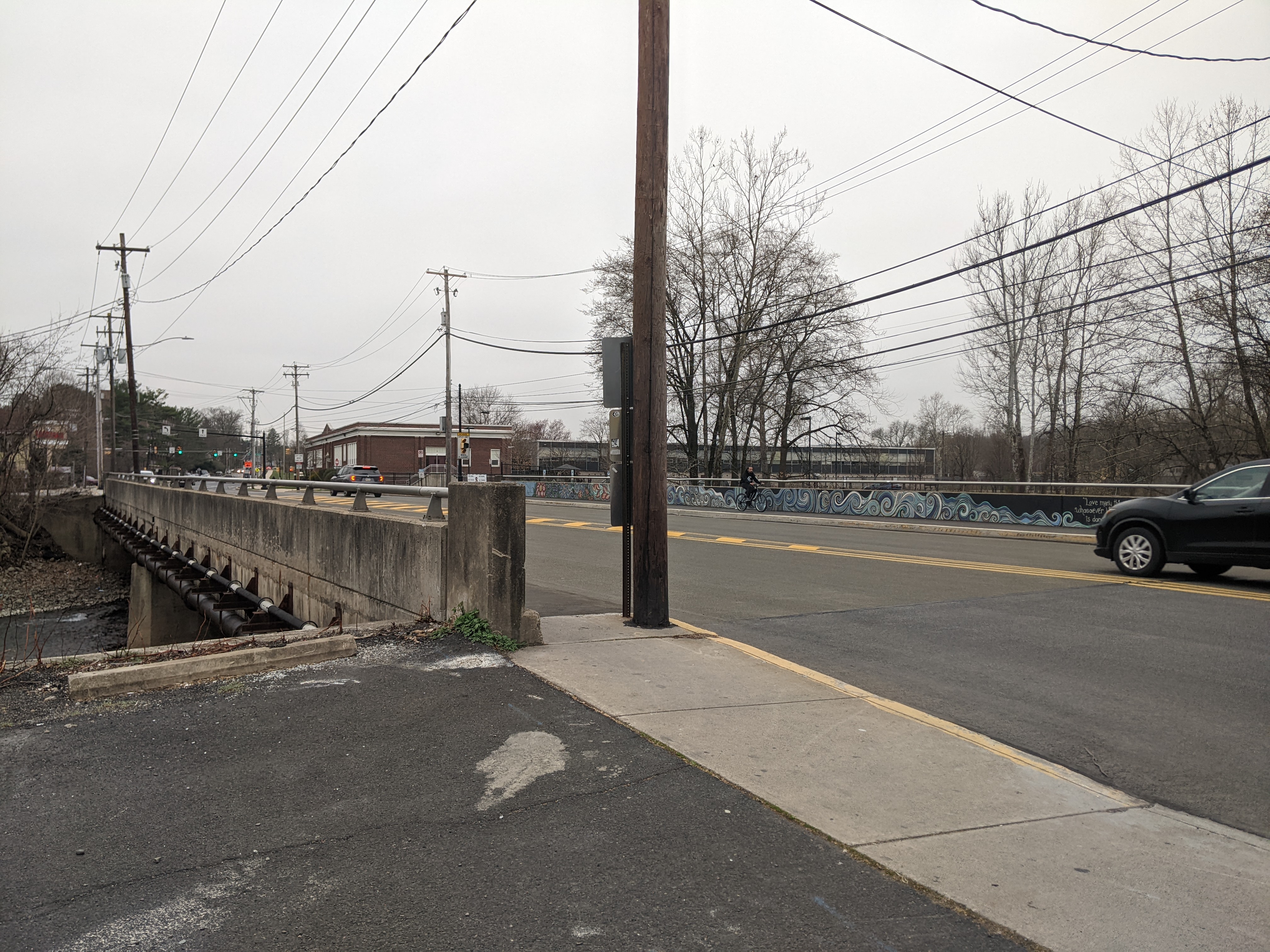
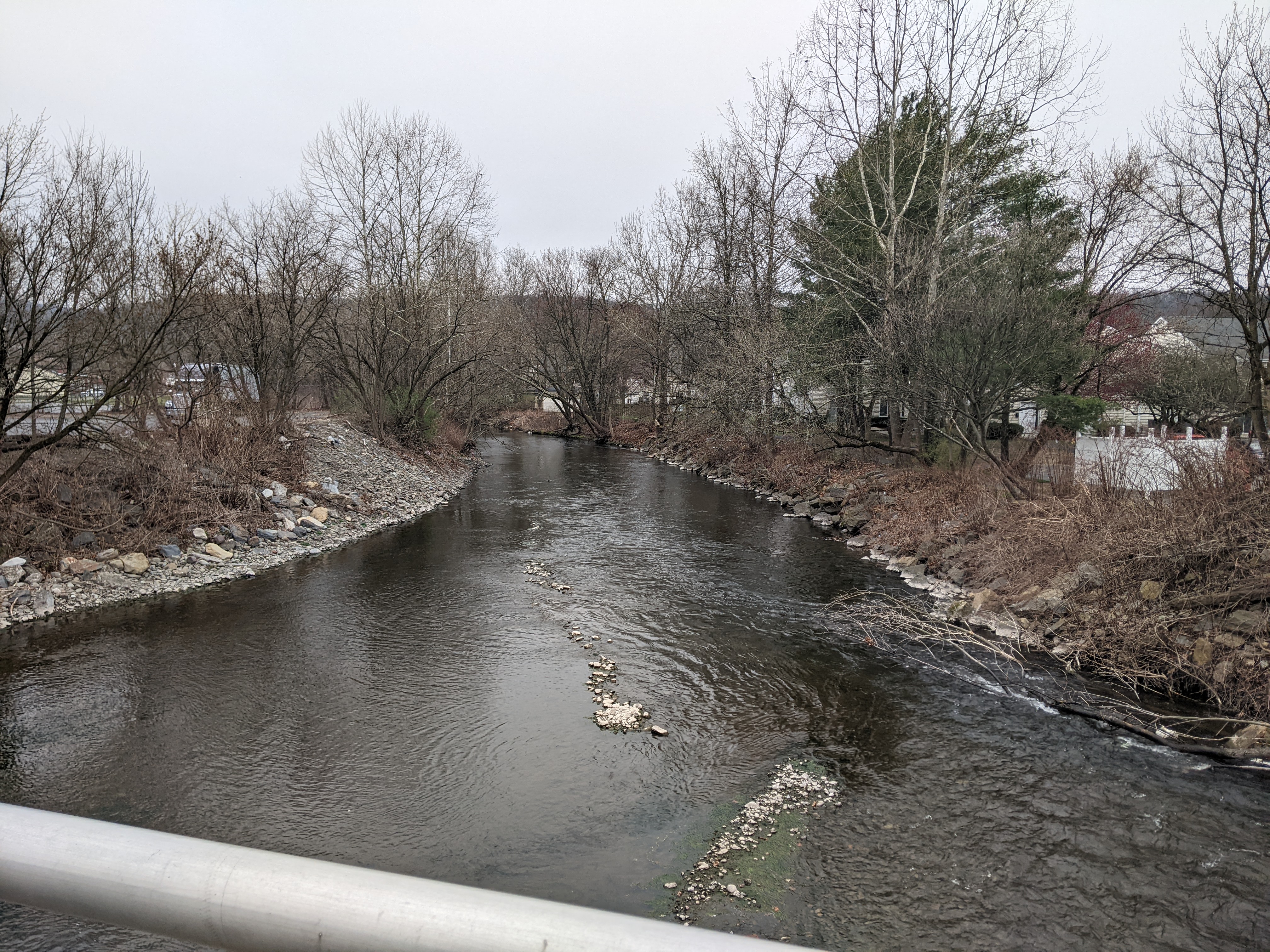
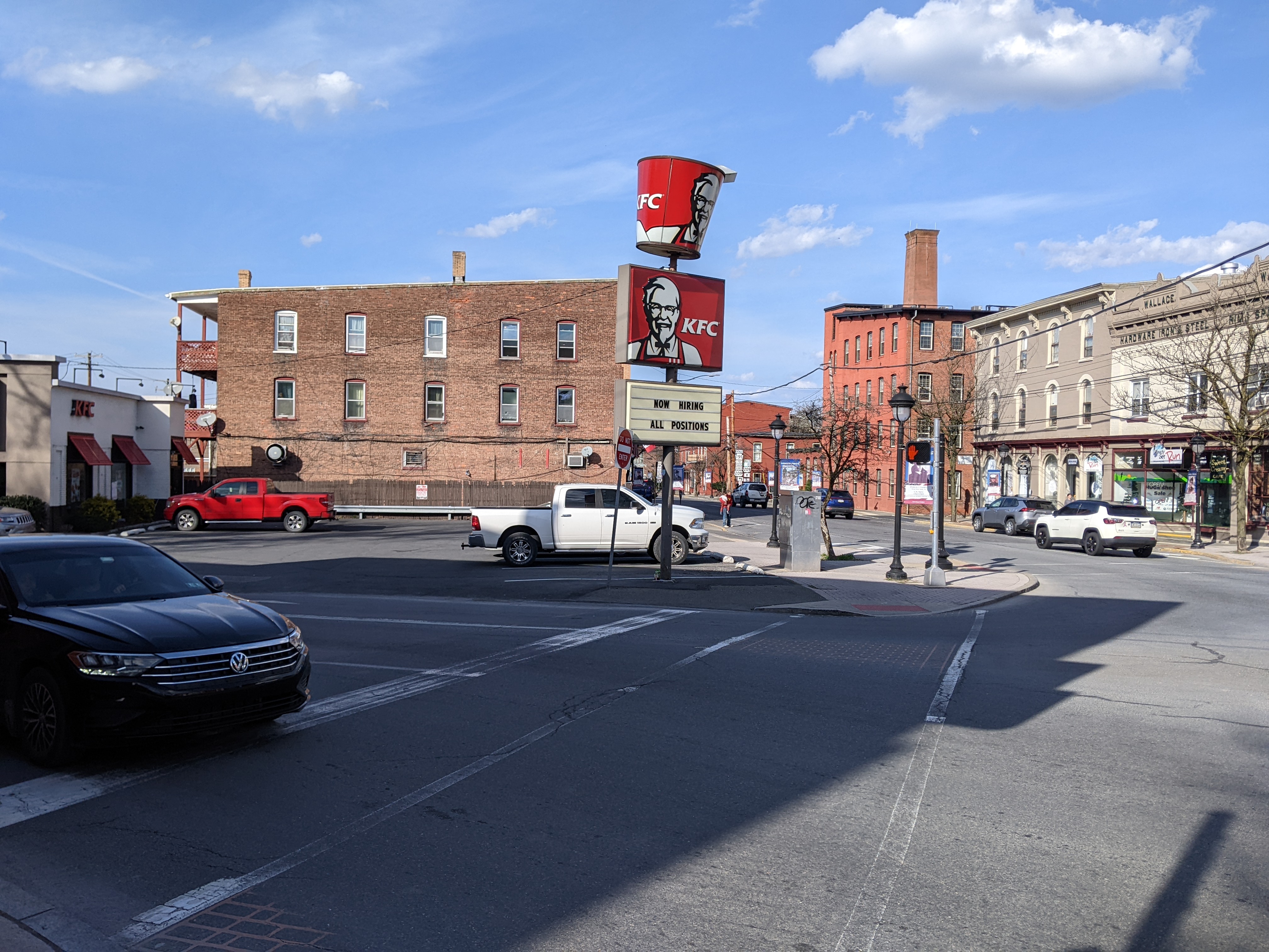
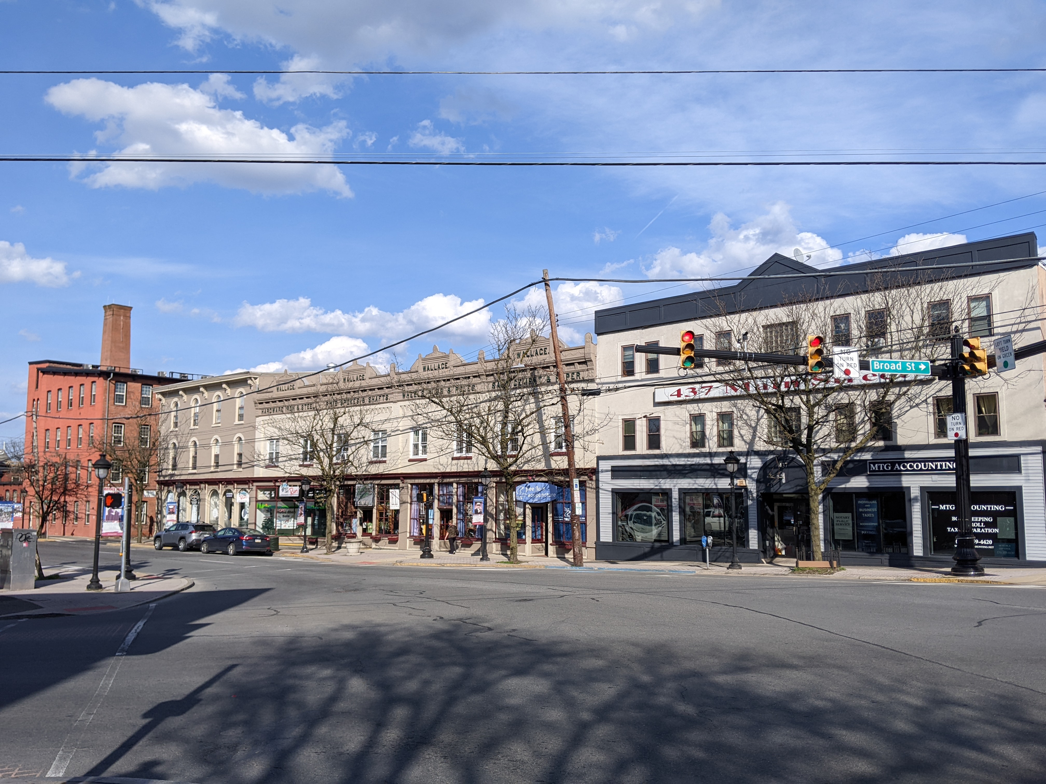
Down the hill from this bridge is the Interborough Bridge. This bridge connecting East Stroudsburg and Stroudsburg used to be a through-truss, possibly also a Warren pony truss bridge. When it was destroyed by a flood in 1955, the replacement did not pay homage to the past. The plain replacement bridge is very utilitarian and not much else. My foot had reached the end of its stamina before I was able to walk across it on this trip – which was actually a relief. I walked across it at least once when I was a kid. I remember it feeling unpleasant. There are sidewalks, but the proportion of vehicles lanes is quite large, cars move fast, and either end features auto-oriented uses. The one nice feature of the bridge are the views of Brodheads Creek, but there are plenty other more pleasant vantage points to view the creek.

In another form of homage, Brodheads Creek, the dividing line between East Stroudsburg and Stroudsburg, is named after Daniel Brodhead. On this trip, I learned that in 1737 Daniel was the first white settler in the area to purchase his land from the descendants of William Penn instead of the Lenni Lenape, the indigenous people who still lived on the land. Although, Penn began purchasing the land that the King of England had given him from the Lenape in 1683, it seems that the area around East Stroudsburg and Stroudsburg had not been purchased by the Penn family before they started selling it to settlers. The Walking Purchase of 1737 attempted to resolve this issue, though it seems the terms of the purchase were not explained clearly the Lenni Lenape beforehand. (Monroe County Historical Association, November 11, 2005; Pennsylvania Historical & Museum Commission)

Stroudsburg’s Bridges

Speaking of federal highways built after WWII (potentially through communities), Interstate Route 80 runs through Stroudsburg and East Stroudsburg. President Johnson mentions the recent completion of this highway in his letter to Stroudsburg’s mayor celebrating the borough’s sesquicentennial:

The recent completion of the Interstate Highways through the Poconos has made Stroudsburg and the communities around it more accessible than ever before. The Federal Government is proud to have played an important role in this acheivement.

Letter from President Johnson dated May 31, 1965

I do not know if any communities were demolished to build this interstate highway. It is likely that the presence of this interstate is part of the reason why some New Yorkers chose to relocate here following 9/11. It is certain that some of the local bridges owe part or all of their existence to this interstate. Many of the local bridges also owe their existence to the several creeks in the area.

The Seventh Street Bridge spans both Route 80 and McMichael’s Creek. (According to signs on this bridge it’s name is Sherrifs Forrest B. Sebring and Todd A. Martin Bridge, but the Pocono Record’s article on the renaming of this bridge highlights the controversy and public backlash to this renaming which was led by a State Representative.) Further east, the freeway and the creek are farther apart and so two separate bridges carry Broad Street over both obstacles. Heading back west, another bridge carries Main Street over Pocono Creek.

Pocono Creek and its bridge (the J. Summerfield Staples Memorial Bridge) appear to mark the western boundary of the historic core of town. On the other side of the bridge, there is an uptick in the number and frequency of auto-oriented uses and building designs.

Seventh Street Bridge

Broad Street Bridges

J. Summerfield Staples Memorial Bridge

Urban Renewal in the Stroudsburgs

After WWII, while the federal government was building highways — sometimes through communities — and subsidizing and incentivizing the construction and purchase of detached single-family dwellings — that is, if you were of the “right” race, ethnicity, and economic level, — there was a growing sense that cities, and perhaps even towns, weren’t safe places to live. As people and jobs, or jobs and people, or some people and jobs starting leaving cities in large numbers, the cities started looking for ways to reinvent themselves to reattract people and jobs in order to survive. Pittsburgh was a leader at that time, inventing and defining the process of Urban Renewal. Other cities like Bethlehem looked up to Pittsburgh and tried to adopt the strategies and techniques of Urban Renewal used in Pittsburgh. Often these cities, as illustrated by Bethlehem, lacked the resources and power to pull off Urban Renewal on the same scale as Pittsburgh.

Revisiting the once familiar environs of Stroudsburg (pop. 5,950) and East Stroudsburg (pop. 9,669), I realized that even these small towns adopted practices and principals of Urban Renewal. And similar to the pairing of Allentown (pop. 125,944) and Bethlehem (pop.75,624), the larger of the two municipalities implemented more Urban Renewal projects while the smaller implemented more historic preservation practices.

Below is a very biased sample of the the Urban Renewal practices I believe I identified in the Stroudsburgs:

Urban Renewal Practice #1 – The Ring Road

Both boroughs contain a partial or complete loop of one-way streets around portions of their downtowns. This traffic pattern now appears to me as strongly reminiscent of the circles Pittsburgh built around important commercial neighborhoods – which subsequently nearly died, possibly because they were already dying, but probably aided by being choked off by these ring roads. In Stroudsburg and East Stroudsburg, it didn’t appear that the ring road has the same sort of death grip on the commercial enterprises they encircled. Several of the business I remembered were still operating and I didn’t notice significant numbers of vacant properties – though the couple vacant businesses I noticed were in East Stroudsburg. However, they weren’t areas that were tempting to explore more closely because they were sites developed along the second Urban Renewal practice.

Urban Renewal Practice #2 – Auto-oriented Uses

Both boroughs contained drive-through businesses in the center of their ring roads. In addition, strip malls are off to the right as you enter each borough on the ring road. In Stroudsburg, the auto-oriented uses felt like they were tightly centered on the ring road; nearby and spilling into the ring road was a dense, walkable downtown. On the other hand, in East Stroudsburg, it felt like the auto-oriented uses were spilling beyond the immediate environs of the ring road and into what was presumably once a much more extensive dense, walkable downtown.

Urban Renewal Practice #3 – Demolition for Underutilized Parking Lots

Part of what made the experience in East Stroudsburg feel more auto-oriented was the larger number of visible paved lots, presumably for parking, but largely empty. While I was most likely day-dreaming about the plot of my latest story featuring either princesses or cowboys when I previously spent time in downtown East Stroudsburg, there was a feeling of familiarity in the near empty parking lots suggesting that I would have felt uncomfortable if they were actually parked to capacity in the same way I felt uncomfortable passing locations where trees I used to know had been cut down.

The Story of the Spires – Stroudsburg

One of the key ingredients for the stability component of “home” is safety. In the aftermath of 9/11, there was a concern about the safety of living in cities and living in New York in particular. The Pennsylvania boroughs of Stroudsburg and East Stroudsburg were among the places considered safe by those leaving New York City. Knowing this going in and comparing it to the lessons learned from Bethlehem, I assumed that the religious buildings would reflect a sense of stability.

Of the two boroughs, Stroudsburg has a more centralized concentration of religious buildings that was easy for me to explore on foot within the limitations of my post-injury recovery phase. The results of this survey confirmed my hypothesis. Of the seven buildings I found, only one was converted to a secular use. Another one appeared to be having a renovation of it’s primary entrance but was still looked actively used as a church. (Facebook confirmed that it is still active with a video of the Polish language mass from a few days before the date I looked it up.) A third building was a storefront that is a First Church of Christ, Scientist.

Comparing Stroudsburg with other Pennsylvania towns where I’ve explored the status of religious buildings, it fits the pattern well. Stroudsburg’s peak population was in 1950, the same as Pittsburgh and Wilkinsburg. Below is an updated chart of the population loss for these cities and a broad impression of the state of their religious buildings.

CityPopulation Loss Since Peak (Peak Year)Status of Religious Buildings
Bethlehem1% (1960)Primarily active sacred uses
Erie26% (1960)Primarily active sacred uses
Homestead85% (1920)Significant numbers closed or converted to secular uses
Pittsburgh55% (1950)Significant numbers closed or converted to secular uses
Stroudsburg14% (1950)Primarily active sacred uses
Wilkinsburg49% (1950)Significant numbers closed or converted to secular uses