Three years ago, Pittsburgh’s Fern Hollow Bridge collapsed on a cold and icy morning. Since then, I have periodically checked in on the status of the new bridge, the fallout from the collapse including the Mayor’s new Commission on Infrastructure Asset Reporting and Investment, and the condition of other bridges, particularly those closed for safety reasons since the Fern Hollow Bridge collapsed.
At my last check-in one year ago, the National Transportation Safety Board’s investigation was still on-going with the latest update on their website a year old. The investigation wrapped up shortly after and the NTSB’s final report was issued in March 2024 (WTAE, March 22, 2024). Unsurprisingly, the report found that the City’s failure to act on the maintenance and repair recommendations from years of inspections led to the structural failure of the bridge. Specifically:
On Friday, January 28, 2022, about 6:37 a.m. eastern standard time, the Fern Hollow Bridge, which carried Forbes Avenue over the north side of Frick Park in Pittsburgh, Allegheny County, Pennsylvania, experienced a structural failure. As a result, the 447-foot-long bridge fell about 100 feet into the park below. The collapse began when the transverse tie plate on the southwest bridge leg failed due to extensive corrosion and section loss. The corrosion and section loss resulted from clogged drains that caused water to run down bridge legs and accumulate along with debris at the bottom of the legs, which prevented the development of a protective rust layer or patina. Although repeated maintenance and repair recommendations were documented in many inspection reports, the City of Pittsburgh failed to act on them, leading to the deterioration of the fracture-critical transverse tie plate and the structural failure of the bridge.
NTSB: Collapse of the Fern Hollow Bridge
News
Below are the news updates on the Fern Hollow Bridge and other bridge maintenance and replacement efforts in Pittsburgh and Allegheny County.
- The National Transportation Safety Board’s investigation into the collapse of the Fern Hollow Bridge is completed.
- Immediately after the Fern Hollow Bridge collapsed, the City created a Commission on Infrastructure Asset Reporting and Investment. However, it took Mayor Gainey about 18 months to nominate any commissioners and another 5 months for the commission to have its first meeting on December 5, 2023. Despite finally existing, it still hasn’t been added yet to the city’s website listing all Boards and Commissions. It does have an official city website though. The first report from the Commission to City Council was issued on June 5, 2024. In the cover letter, the Commissioners acknowledge that they are charged with reporting to council at least twice a year.
- The Charles Anderson Bridge was immediately closed to vehicular traffic on February 1, 2023. On November 4, 2024, the bridge was closed to bicycle and pedestrian traffic as construction was finally underway for rehabilitation of the bridge (the process started in 2019). The Panther Hollow Overpass is also being improved while the traffic is detoured. (Pittsburgh Engage project page)
- Pittsburgh’s Swindell Bridge, which closed initially from July to September 2022 due to falling debris. The expectation was that repairs that summer would enable the bridge to fully reopen to traffic. Instead the latest repairs seem to have uncovered more issues. The bridge will eventually undergo a full rehabilitation, which will require another closure during construction. However, that will not be for some time as the bridge is still in the preliminary design phase. (Pittsburgh Engage page)
- The “complete overhaul” of the South Negley Avenue Bridge announced in 2022 (CBS, February 25, 2022). The city still does not have a project page for this bridge, though both sidewalks have been closed for safety (Mayor’s Press Release, June 6, 2024; Mayor’s Press Release, June 17, 2024). The obvious deterioration on this bridge and lack of movement on repairs leaves the way open for speculation on whether we will have another bridge disaster in our city sooner rather than later.
- Supply chain issues and now winter weather have delayed the completion of the new Davis Avenue Bridge. (Bridge Engage Page; Public Art Engage page)
- Rehabilitation on the Swinburne Bridge remains on pause until after the Charles Anderson Bridge is reopened as the Swinburne Bridge is part of the detour route. (Pittsburgh Engage page)
- Preliminary engineering remains ongoing for the rehabilitation of the 28th Street Bridge. (Pittsburgh Engage page)
- Preliminary engineering has started for the California Avenue Bridge rehabilitation. (Pittsburgh Engage page)
- While the number of “Engage pages” about Pittsburgh bridges has grown in the last year (full list below the map), it still does not align with all the bridges closed fully or partially. In addition to the bridges mentioned above, the most recent addition to the list of bridges with issues, but no Engage page is the Panther Hollow Bridge that closed to vehicles October 2024 due to the results of its most recent inspection (see 2024 Bridge Disasters Actual and Pending for more).
- In national bridge news, Congress fully funded the reconstruction of the collapsed Francis Scott Key Bridge before the end of December (Governor Moore’s statement, December 21, 2024), contrary to my prediction on Funding Bridges (December 15, 2024).
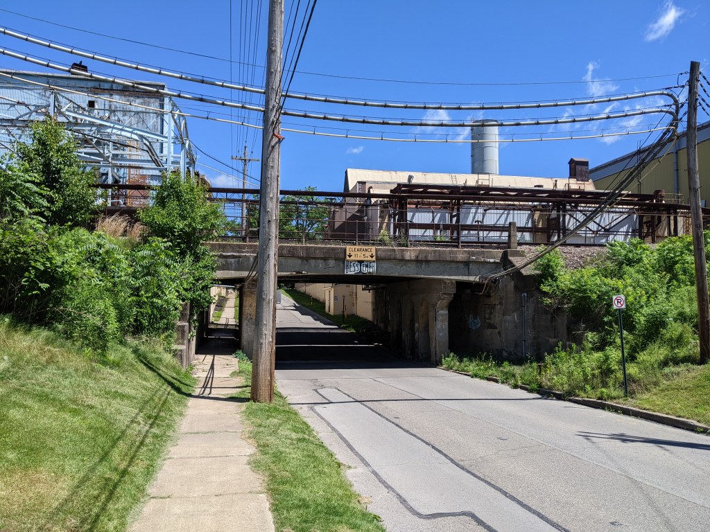
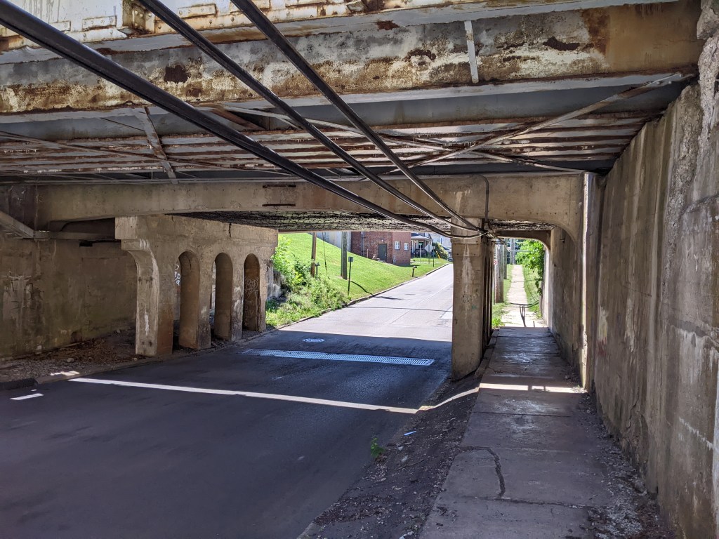
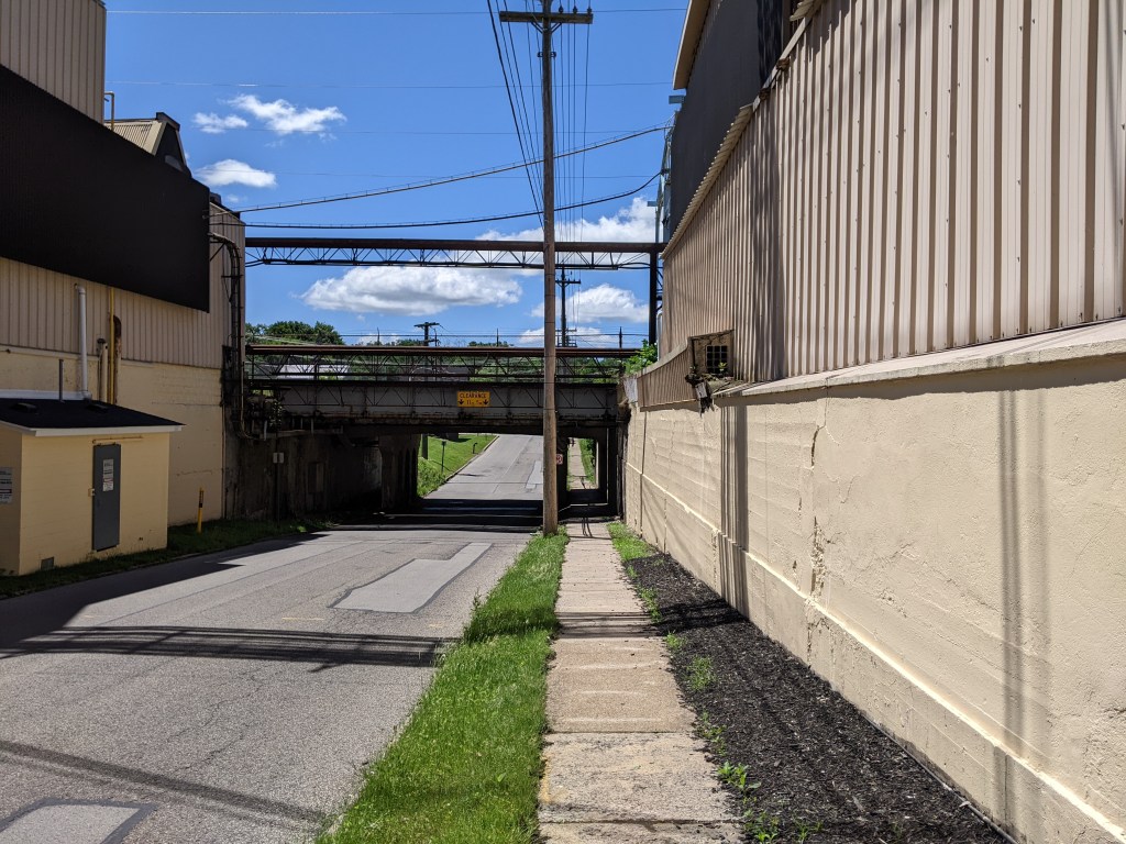
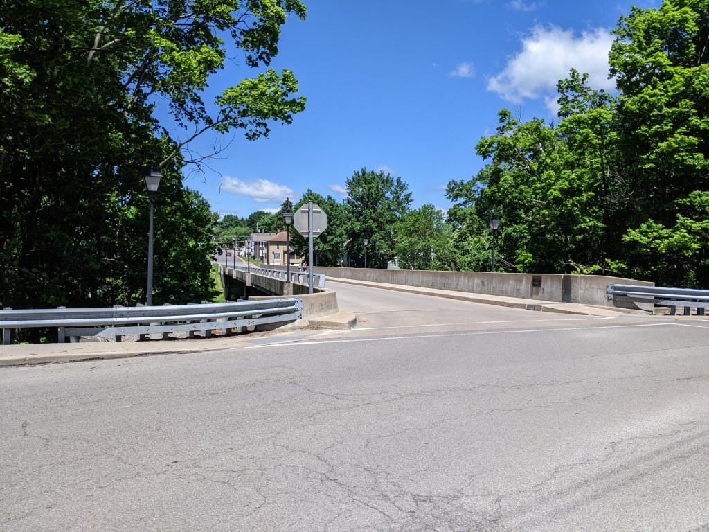
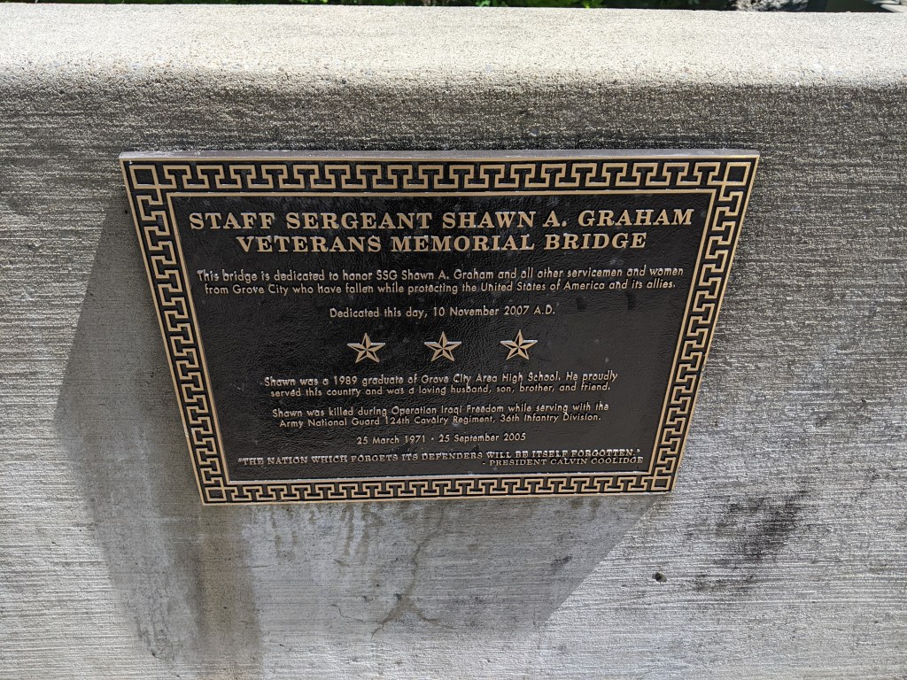
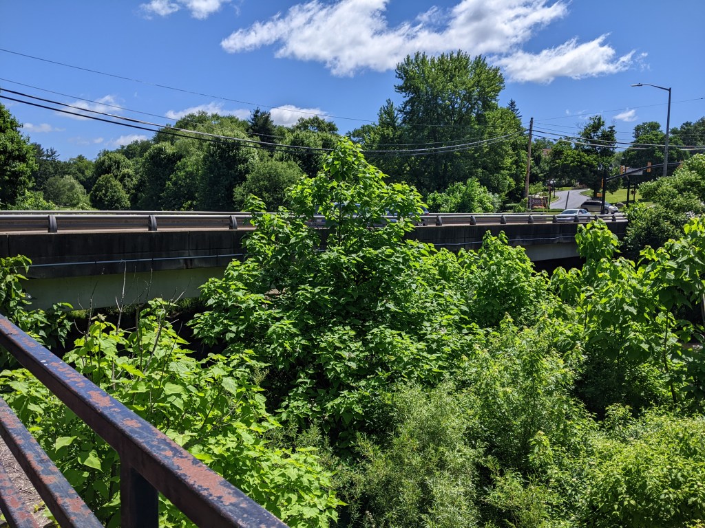
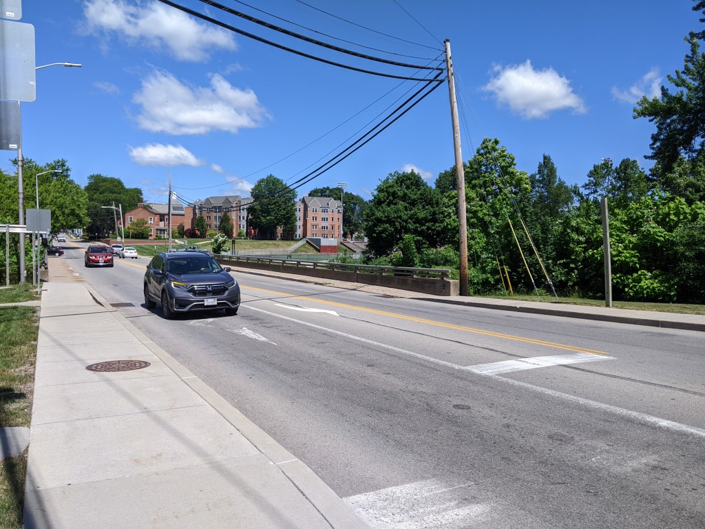
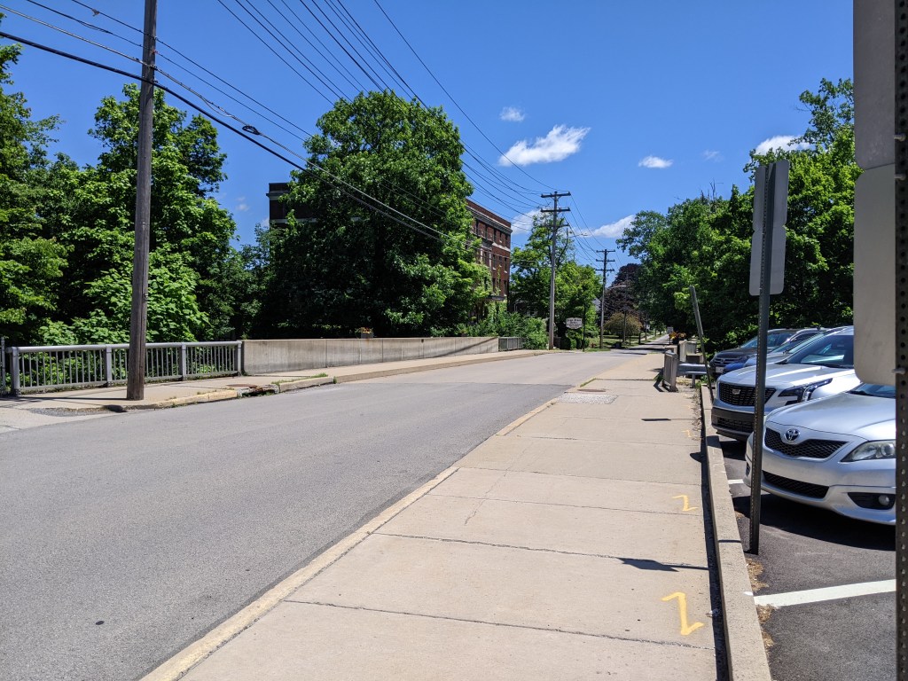
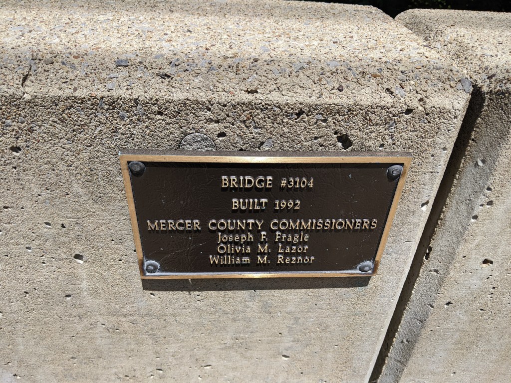
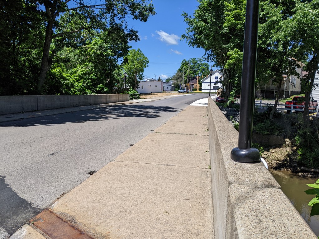
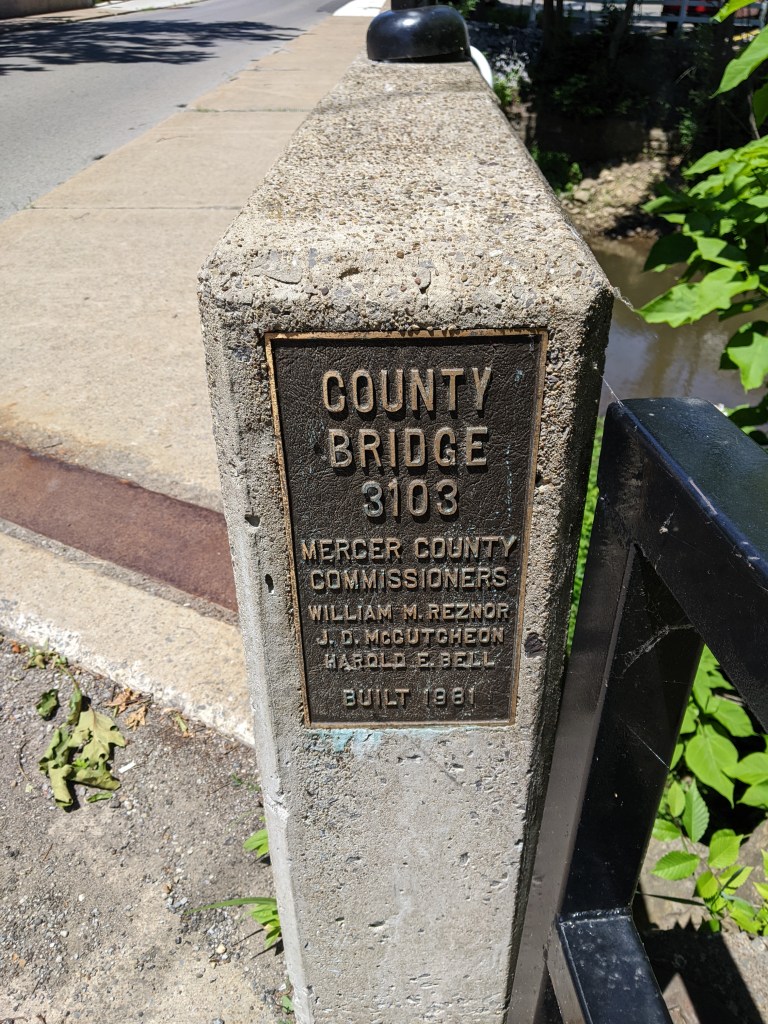
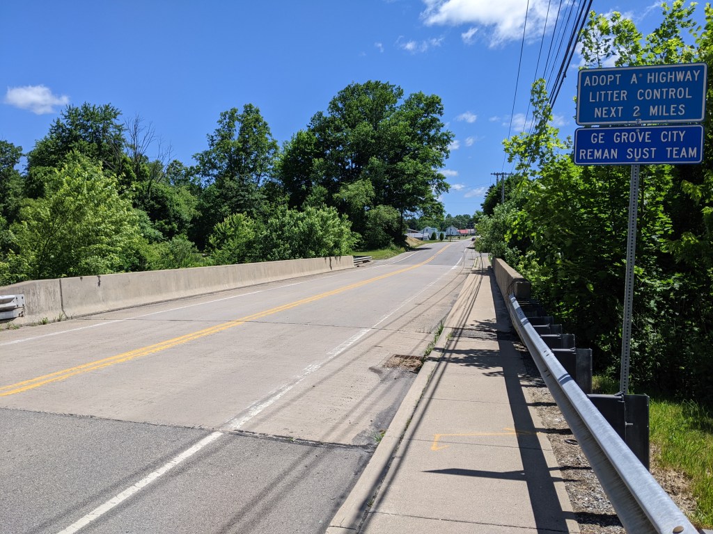
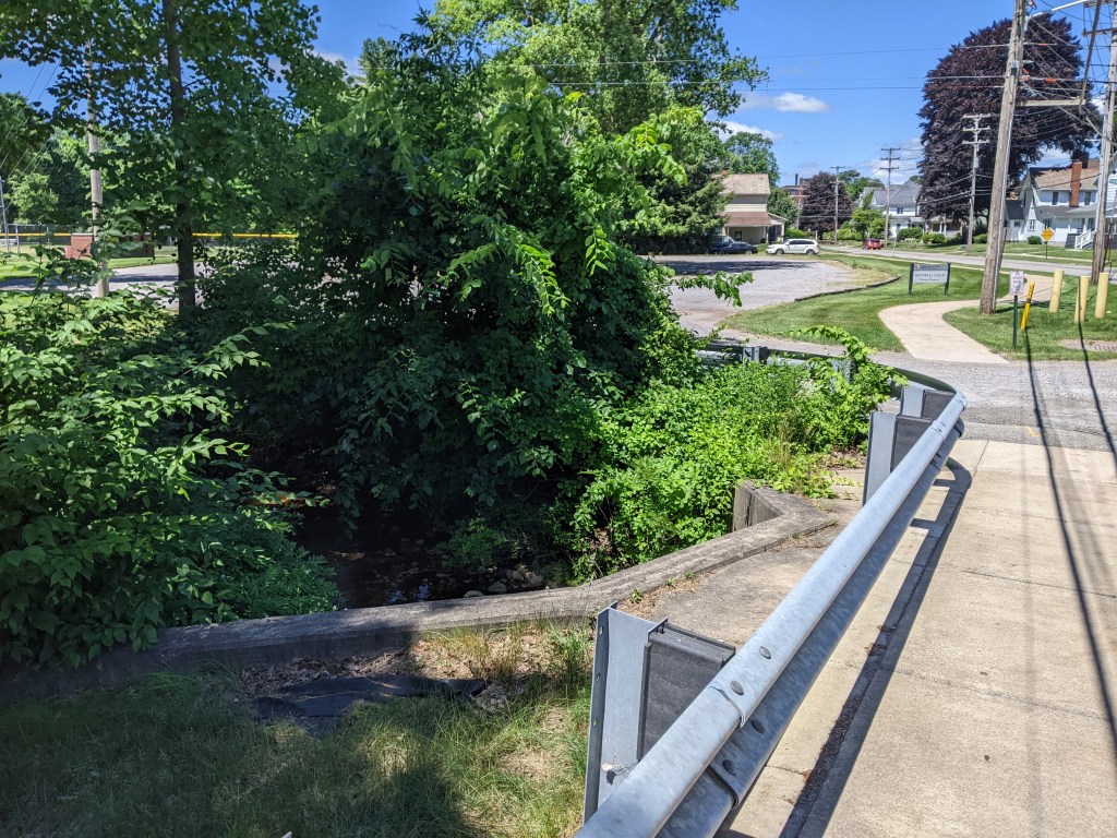
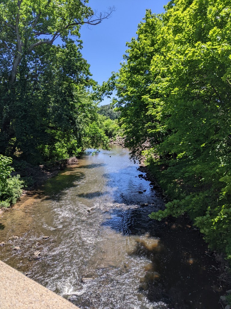
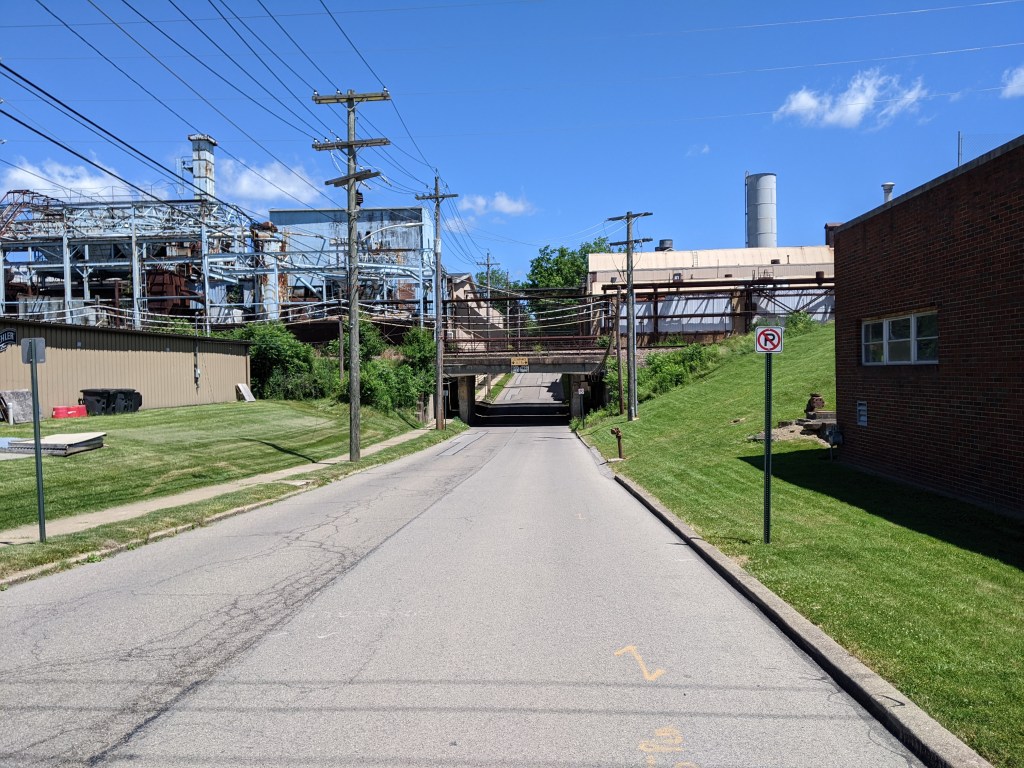
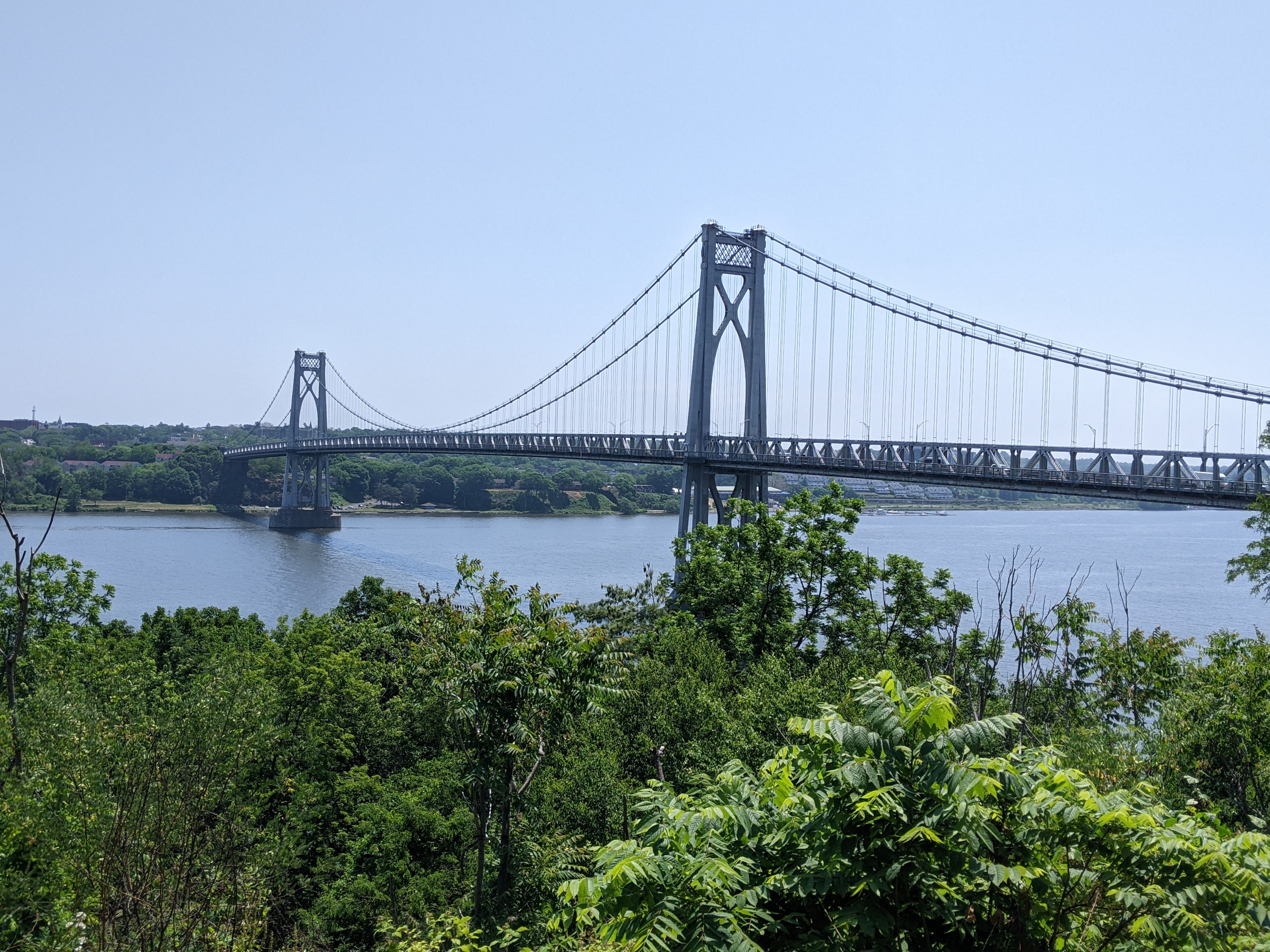
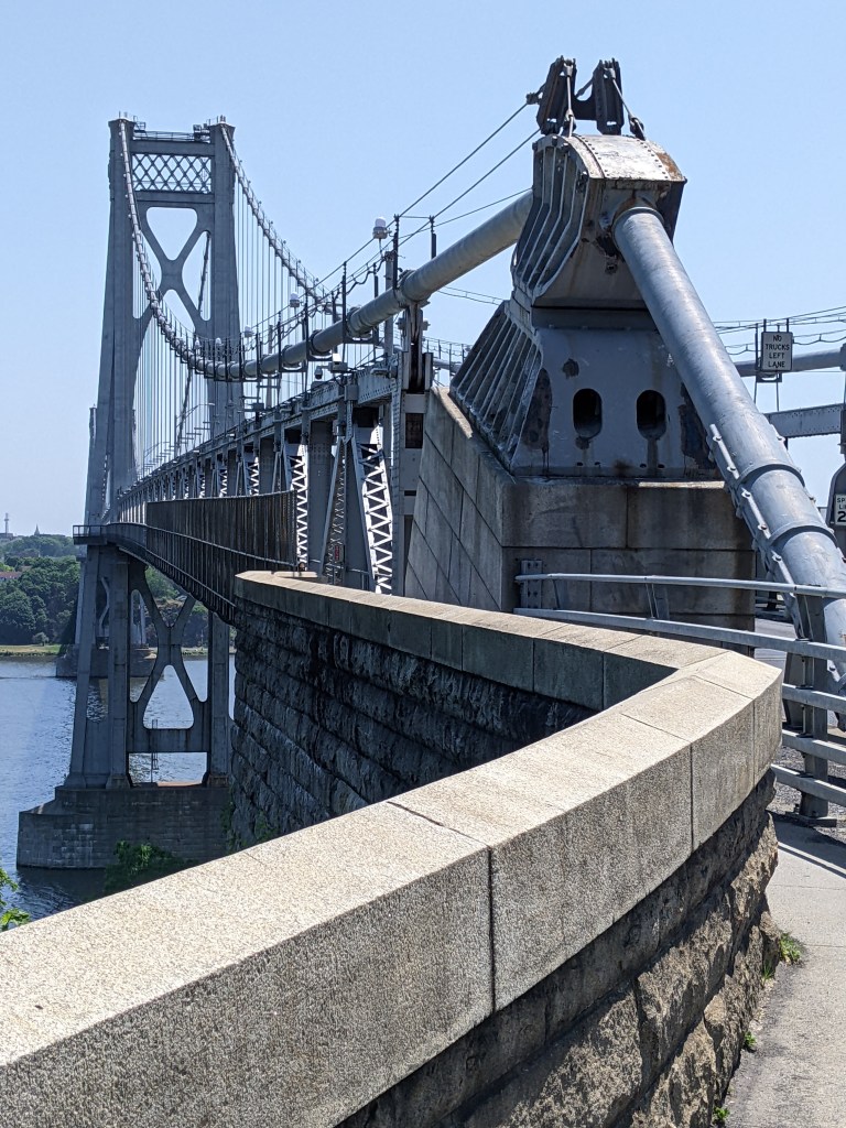
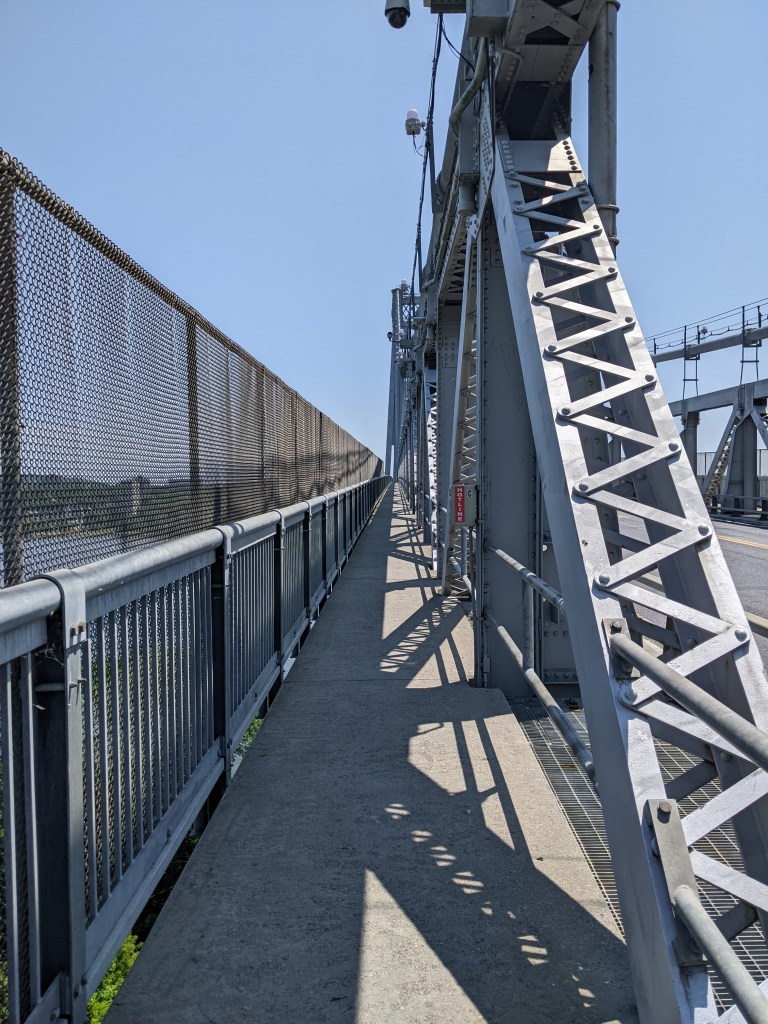
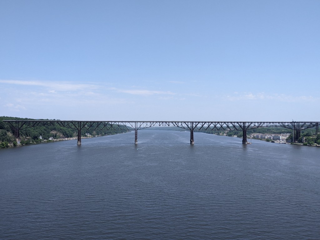
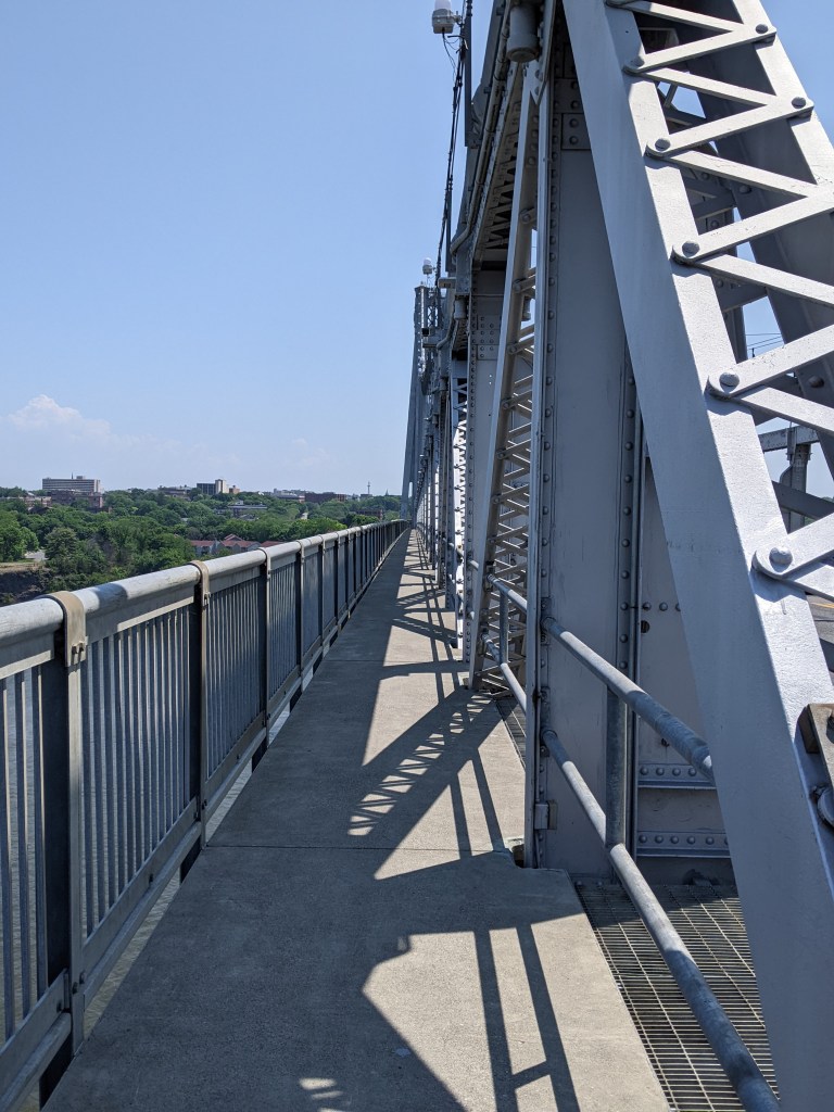
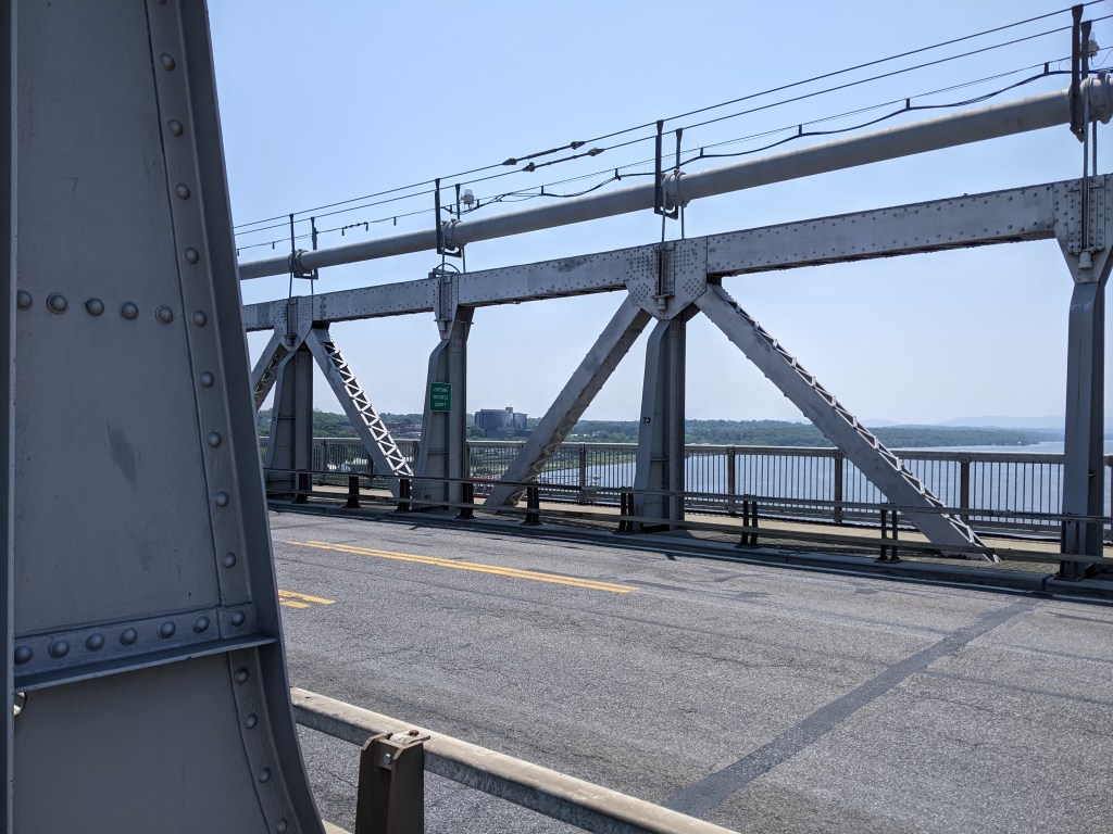
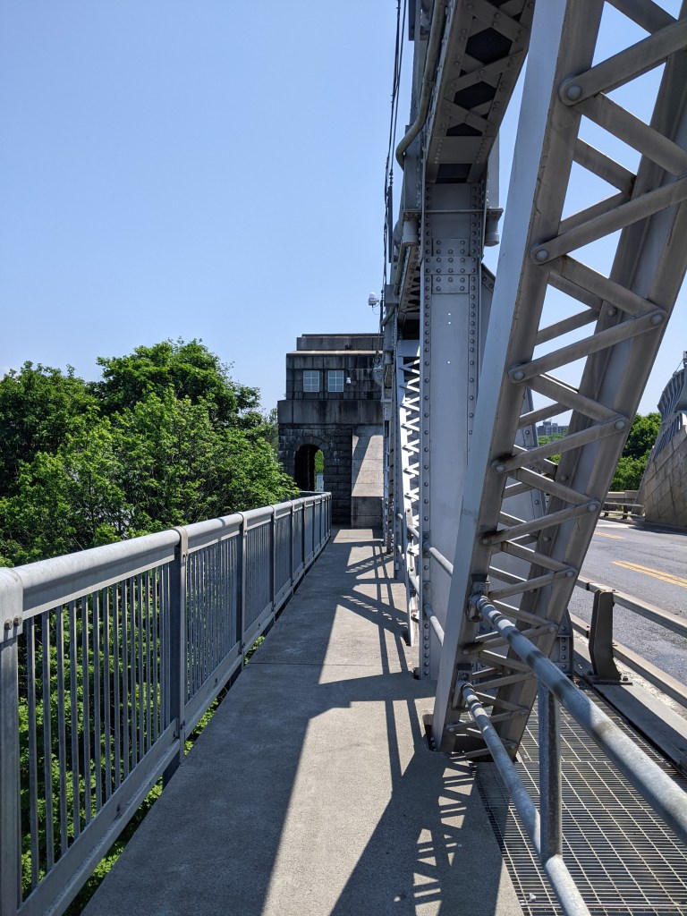
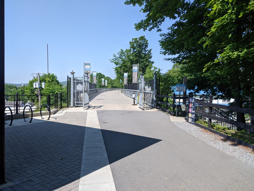
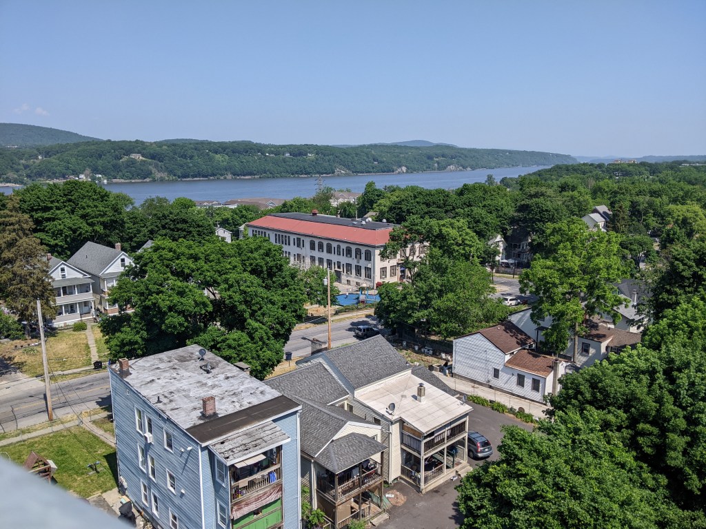
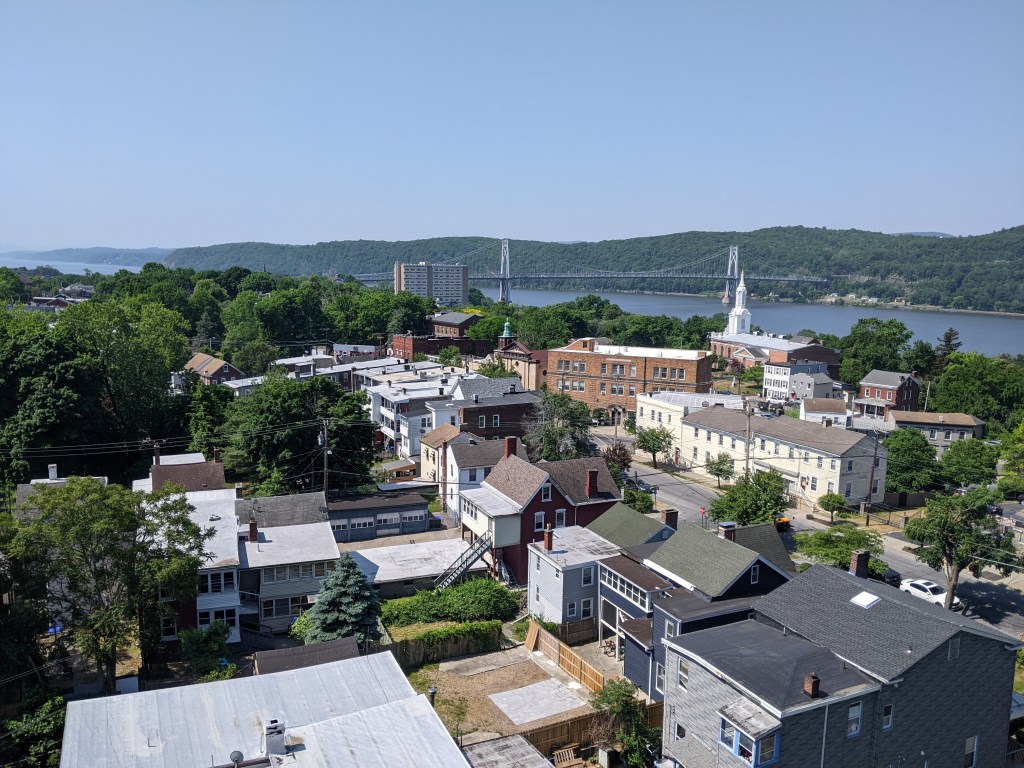
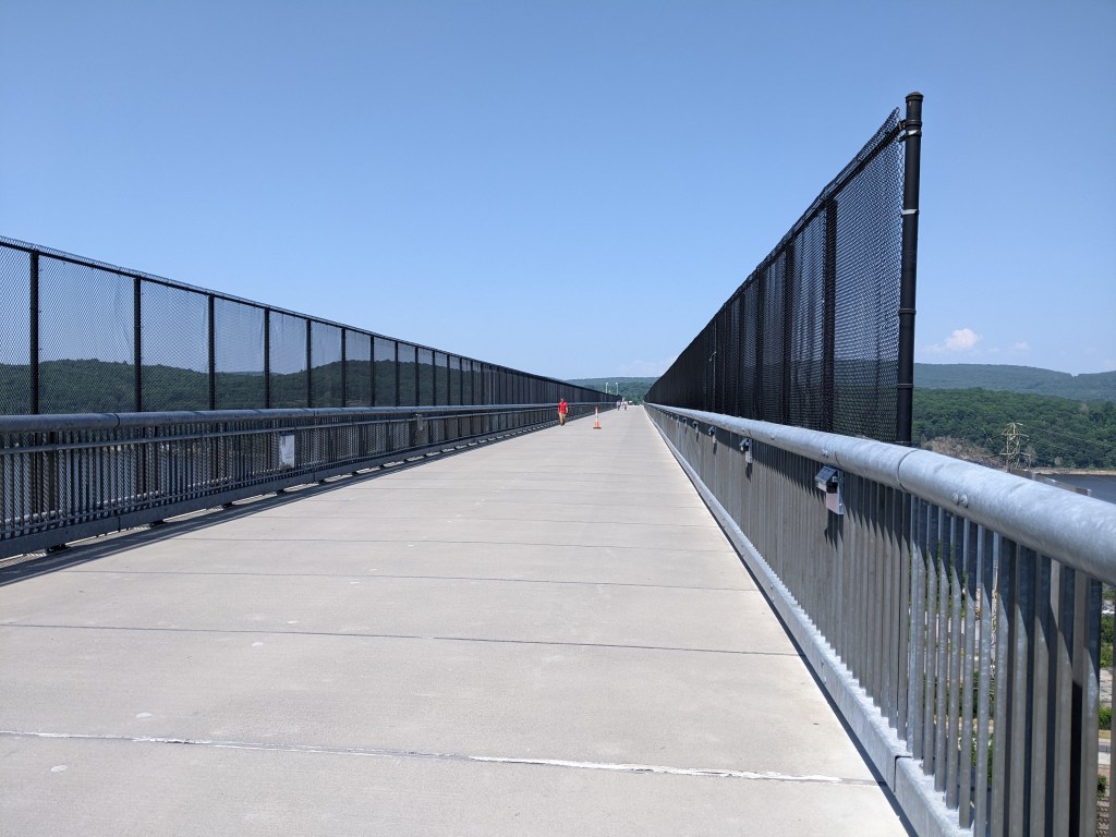
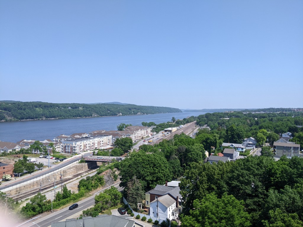
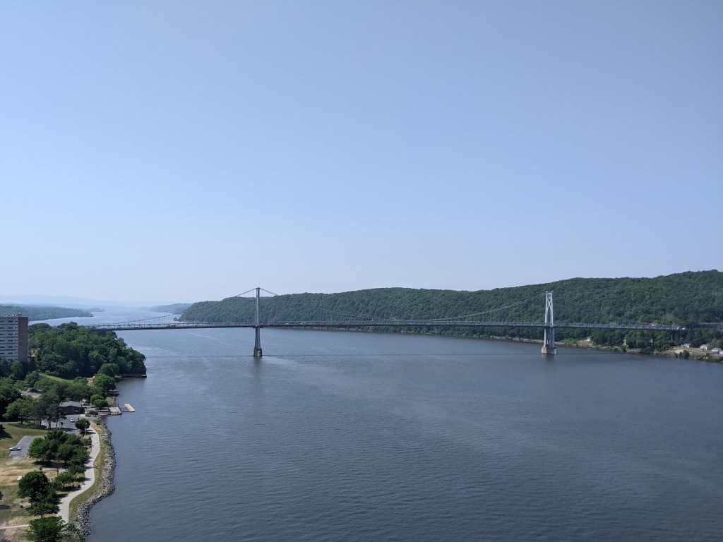
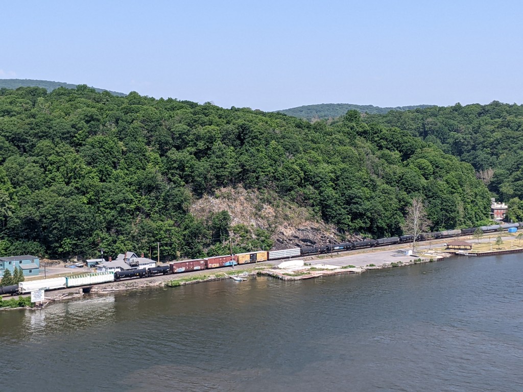
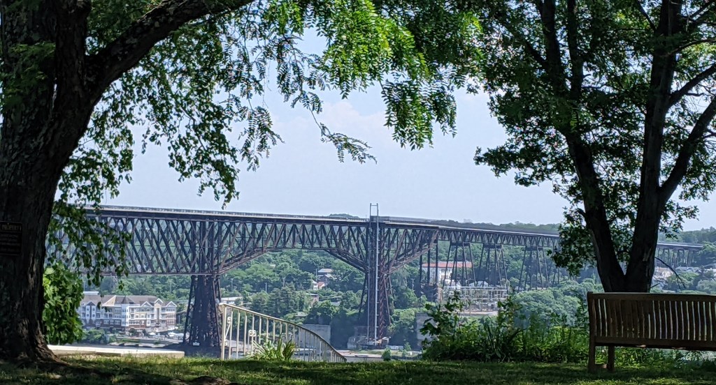
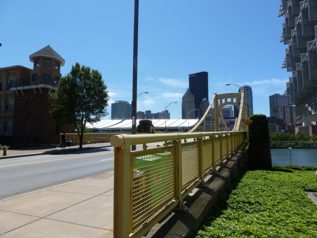
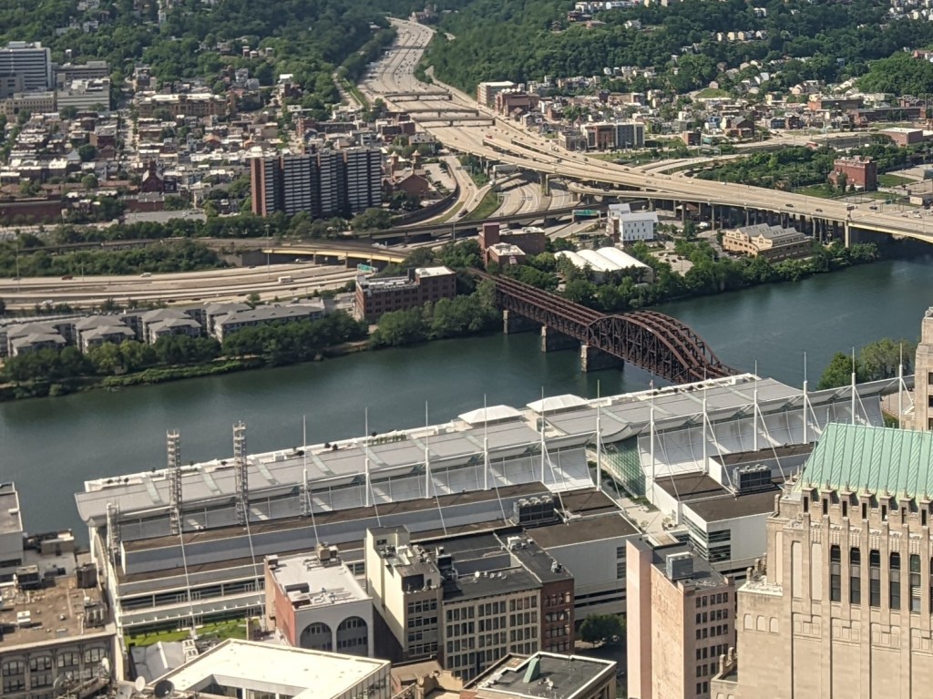
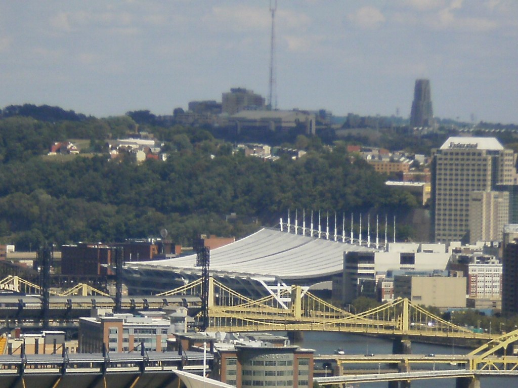
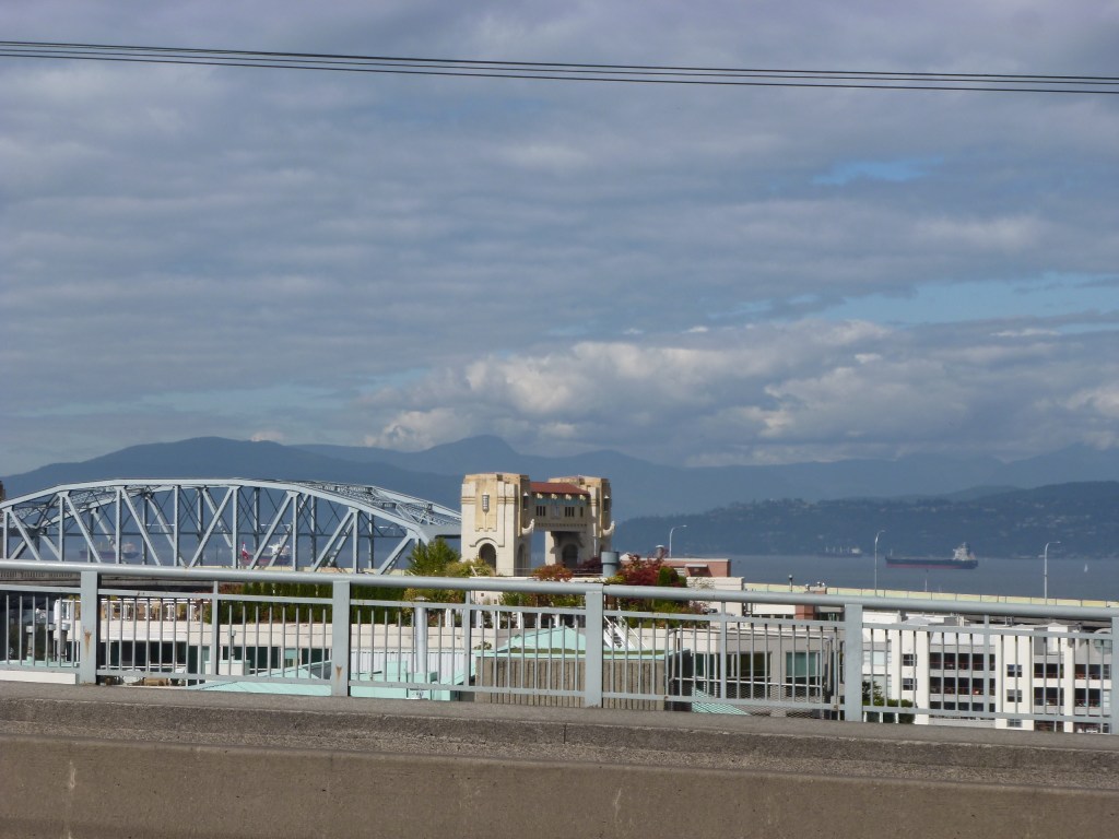
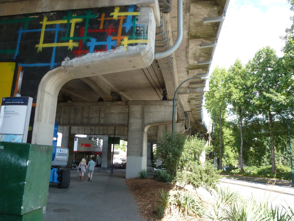
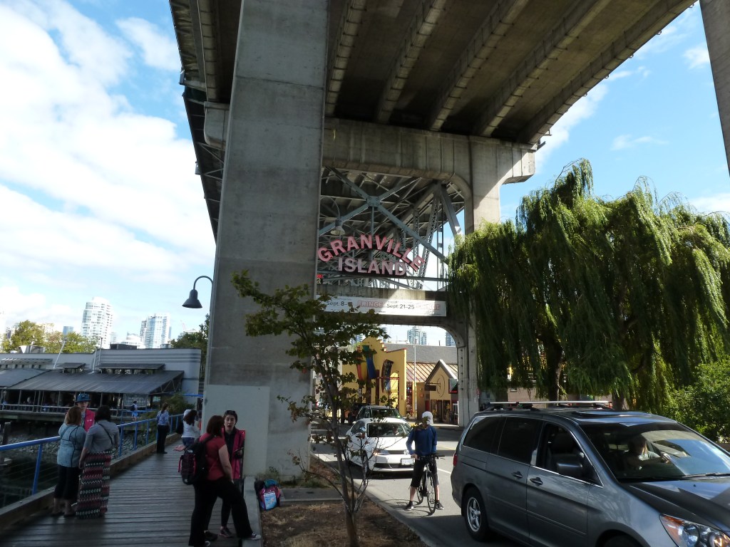
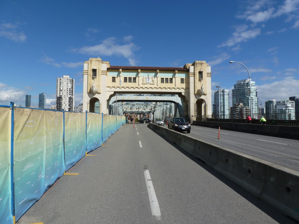
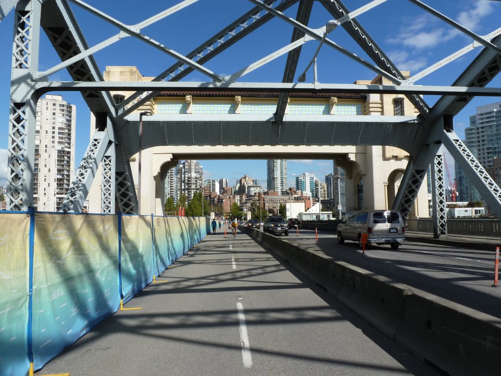
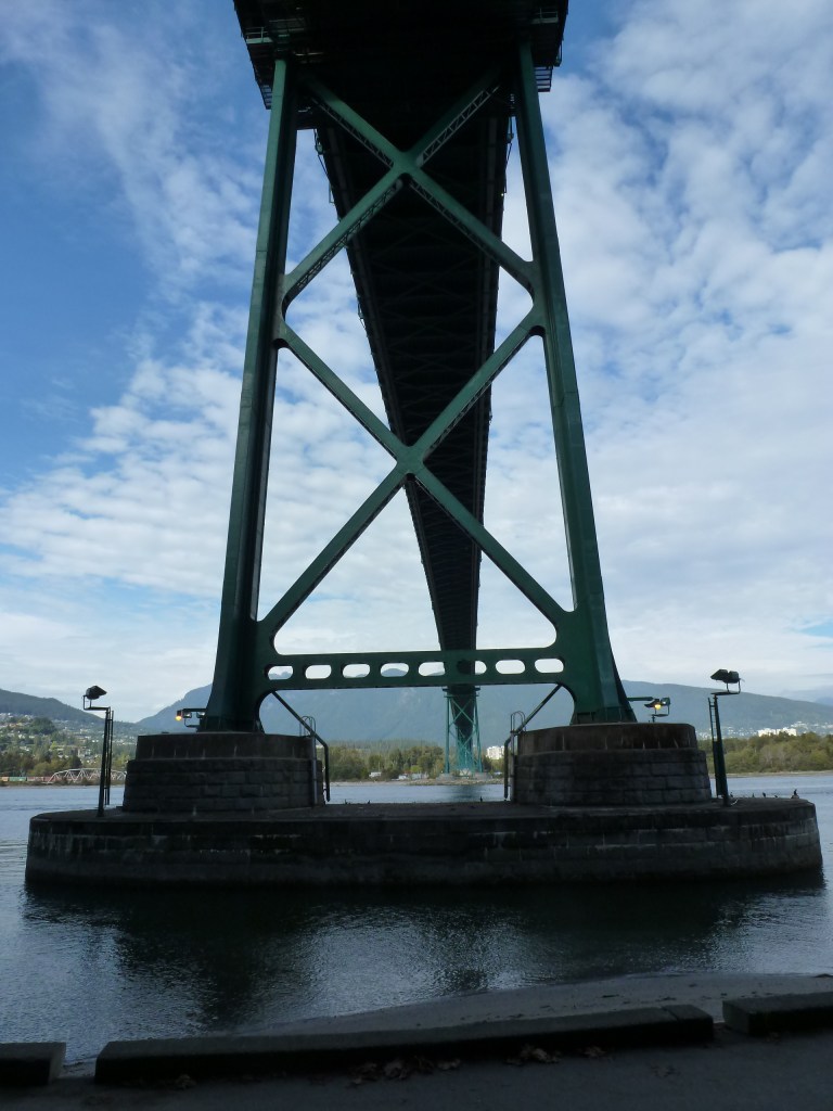
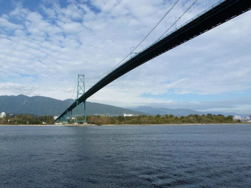
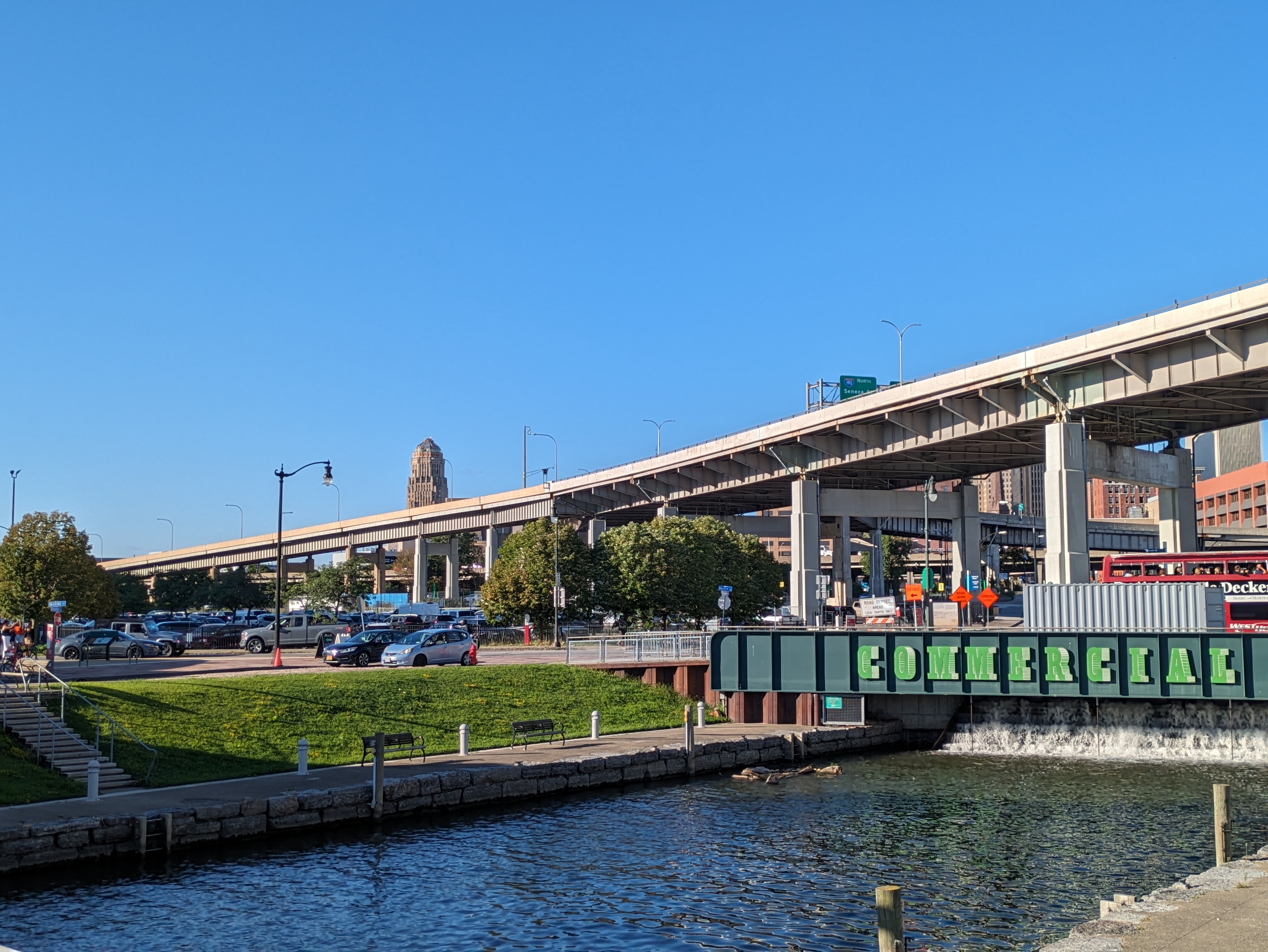
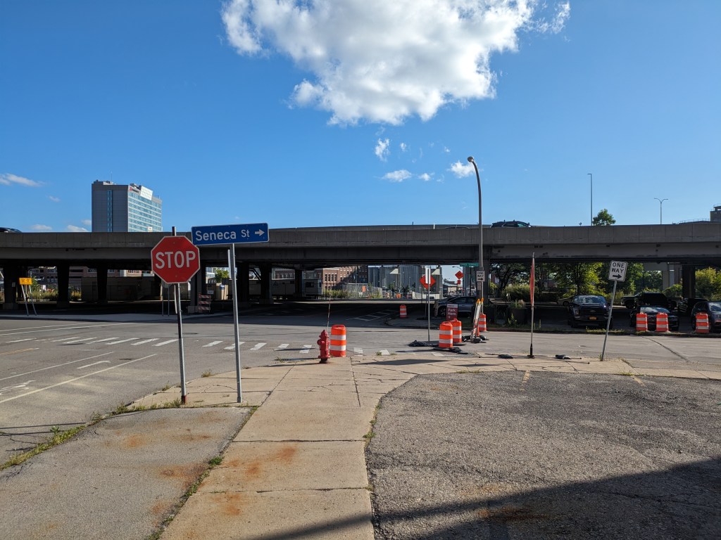
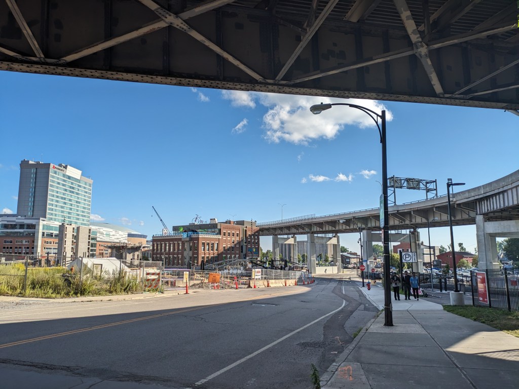
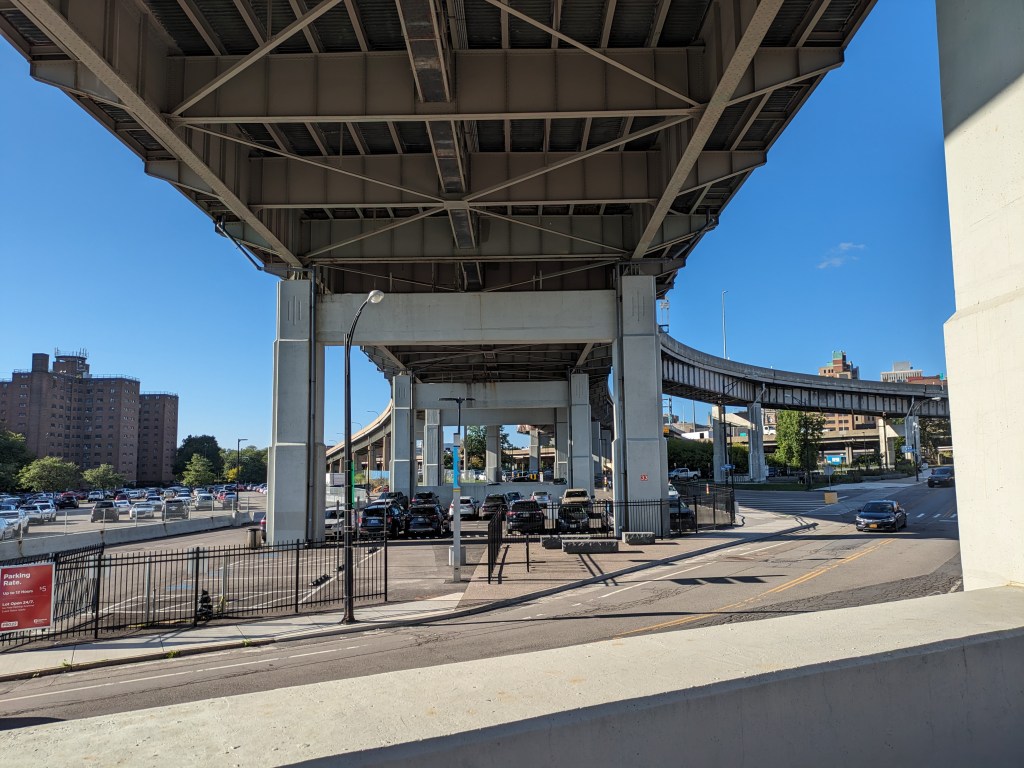
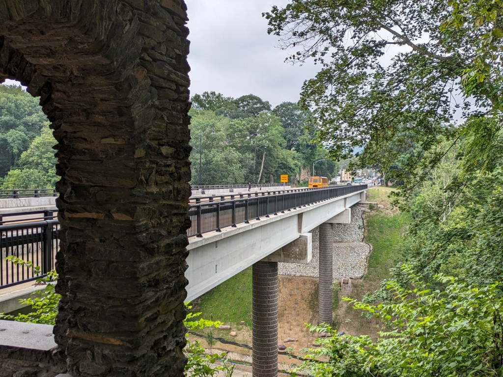
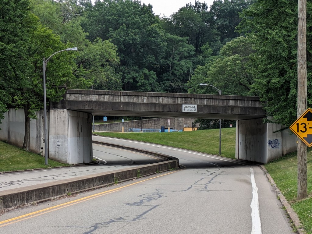
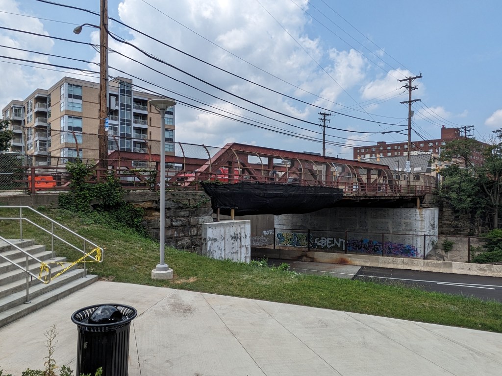
Photos: Other Bridges

Historic Pittsburgh Bridge Disasters
According to Bob Regan’s 2006 book “The Bridges of Pittsburgh,” Pittsburgh is no stranger to bridge disasters:
- 1845 – The original Smithfield Street Bridge burned down
- 1851 – The 16th Street Bridge burned down
- 1865 – Two spans of the 16th Street Bridge was washed away in a flood
- late 1880s – The 6th Street/St. Clair Street Bridge burned down
- 1903 – The Wabash Bridge collapsed during construction
- 1918 – The 16th Street Bridge burned down (again)
- 1921 – The 30th Street Bridge burned down
- 1927 – The Mount Washington Roadway Bridge collapsed during construction
Map of bridges discussed in the Bridge Collapse series:
Additional Resources:
Both PennDOT and the Federal Highway Administration have interactive maps of bridges for the state and country respective, and their inspection statuses. Pittsburgh now has the static Comprehensive Bridge Asset Management Program Report of the 147 bridges owned by the City of Pittsburgh.
Bridges in Pittsburgh with community engagement pages for pending rehabilitation or replacement projects:
- 28th Street Bridge
- 30th Street Bridge
- Calera Street Bridge
- California Avenue Bridge
- Charles Anderson Bridge
- Corley Street Bridge
- Davis Avenue Bridge
- Larimar Avenue Bridge
- Maple Avenue Bridge
- Parking Lot Bridge over SR 51 (demolition)
- Swinburne Bridge
- Swindell Bridge
- West Carson Street Bridge
- West End Bridge Access Structures
Previous Fern Hollow Bridge Posts: