Keeping an Eye on the CAP: Nov. 2021

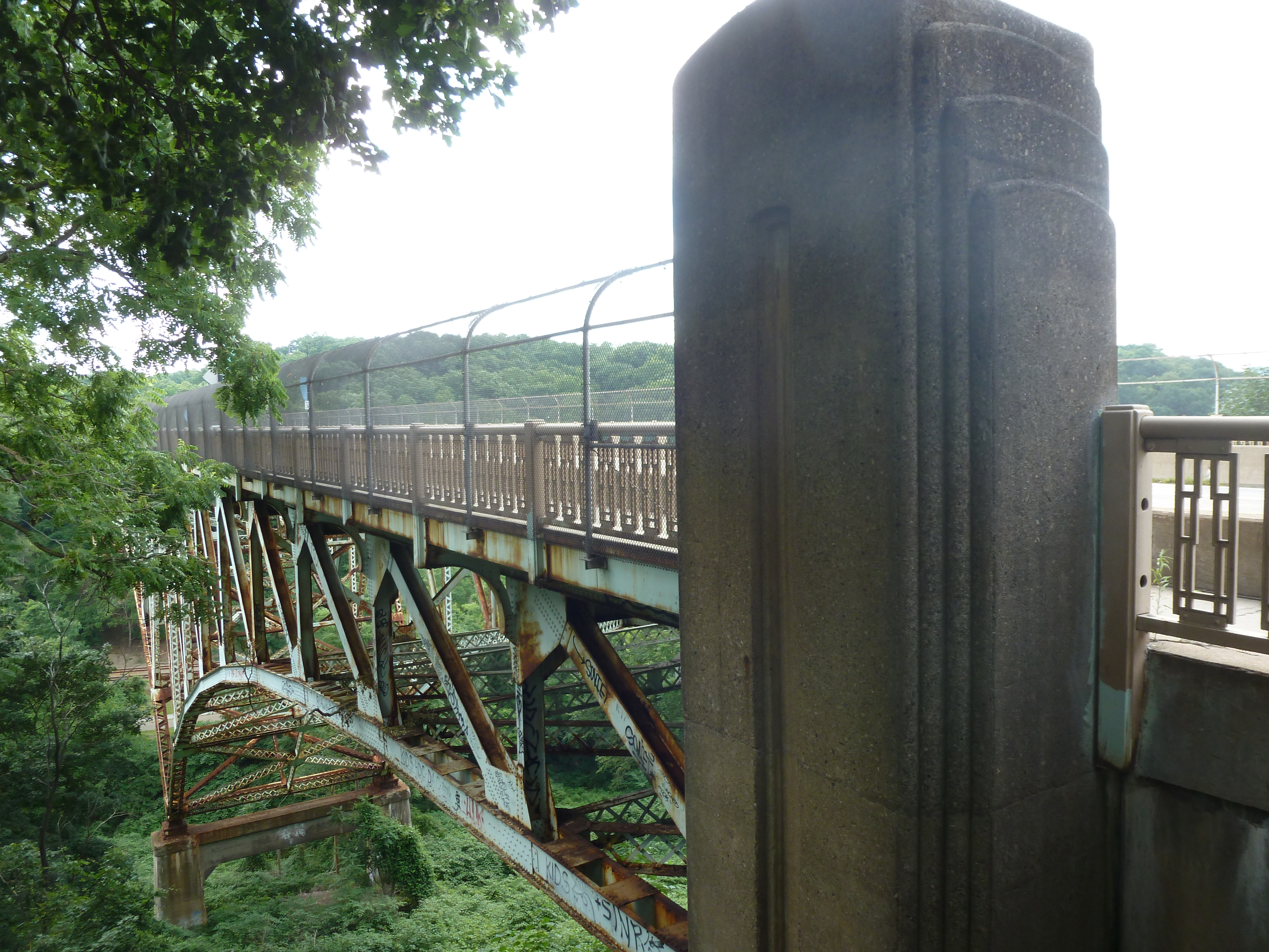
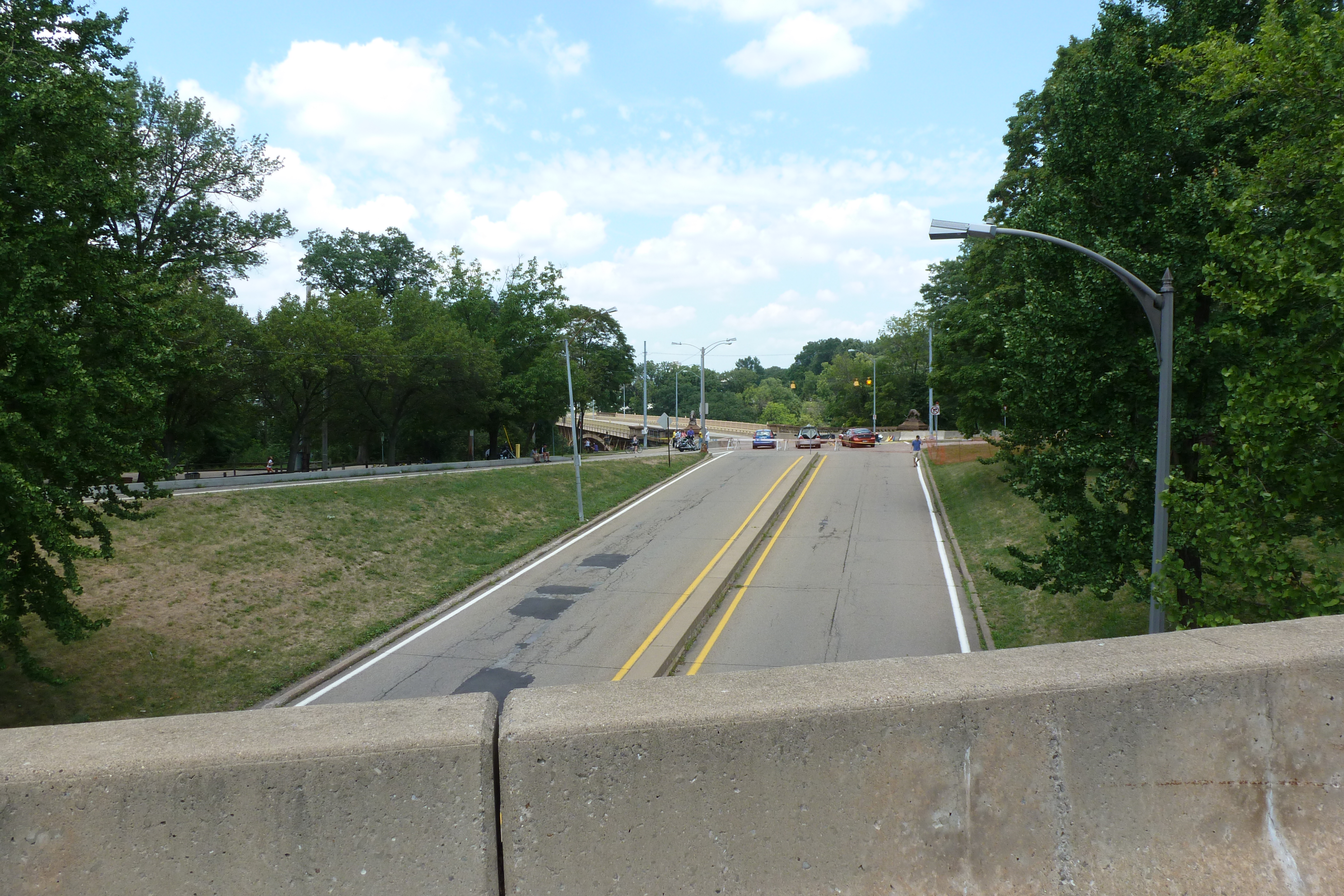
The CAP is a project in Pittsburgh “fixing the mistakes” of Urban Renewal. The Crosstown Blvd was built in the 1960s creating a freeway in a canyon dividing the Lower Hill neighborhood from downtown. The Lower Hill neighborhood, formerly predominantly poor and black, had already been demolished by this point to make way for the Civic Arena and other cultural amenities that were never built.

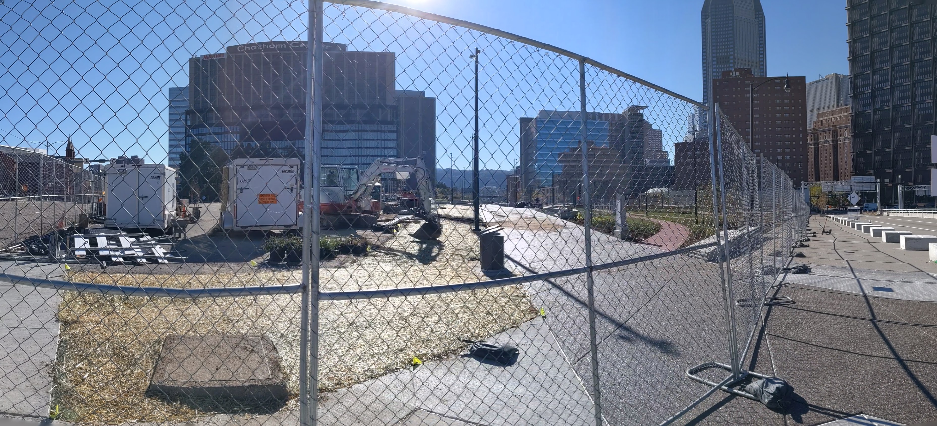
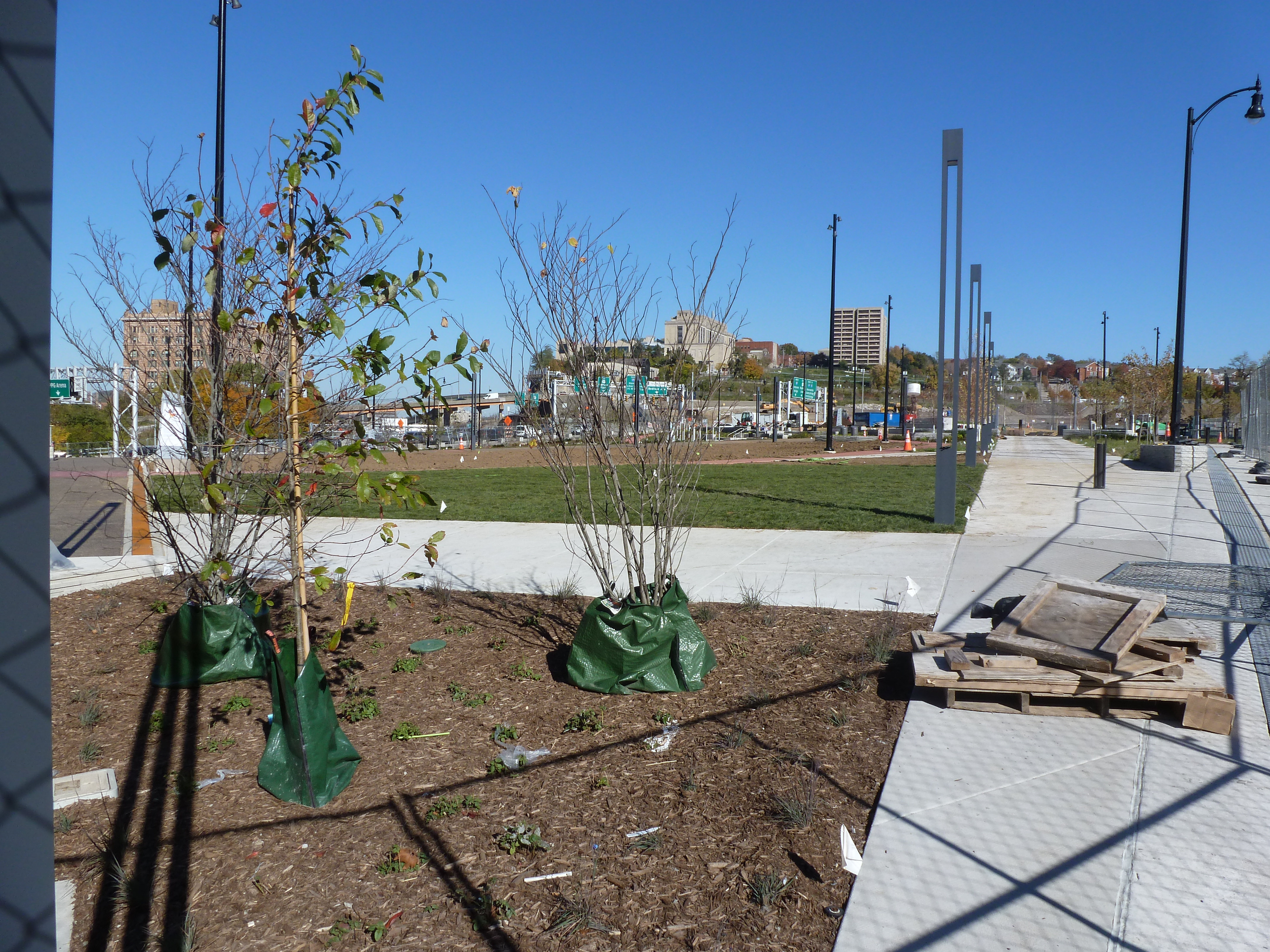
The CAP is a park on a bridge being built over the Crosstown Blvd and is intended to reconnect downtown and the Lower Hill, while the Lower Hill is being rebuilt by the Penguins hockey team. Construction began in June 2019 and was expected to be completed in November 2021. As the photos below show, it appears to be predominantly completed mid-November 2021, but the construction fence was still up. There are still a couple weeks left in the month to meet the project schedule. There do not appear to be any news articles about this project since the May post of Keeping an Eye on the CAP. The next bit of news about the site will probably be either announcing the ribbon cutting or a project delay.

This post is part of an on-going photographic series to watch the development and usage patterns of the CAP. Periodically, approximately once every six months, I return to the site to take new photographs. At the end of the post, there are links to all the previous posts in the series.


Previous Posts in the Series:

Keeping an Eye on the CAP: May 2021

Keeping an Eye on the CAP: Dec. 2020

Keeping an Eye on the CAP: Jun. 2020

Keeping an Eye on the CAP: Dec. 2019

Keeping an Eye on Uptown: Introduction

Oakland Bridges: Blvd of the Allies

The Blvd of the Allies was one of Pittsburgh’s grand public works projects from the 1920s. It rises from downtown, passing along the backside of Uptown and cutting through South Oakland before wrapping up in Schenley Park.

Four bridges enable the Blvd to make its mark on Oakland. Under normal conditions, only one of these bridges is pedestrian usable.

The road makes a flying leap into Oakland on the Boulevard of the Allies Bridge. On the South Oakland side, the Blvd enters a commercial corridor that begrudgingly gives pedestrians a place on a narrow sidewalk that abruptly begins (or ends) at the edge of the bridge. On the other side of the bridge, the Blvd is a mess of highway interchanges, so pedestrians are not welcome to utilize this bridge to go anywhere.

At the other end of the commercial corridor, pedestrians are invited to cross the Charles Anderson Bridge over Junction Hollow and into Schenley Park. (This bridge is also featured in Oakland Bridges – The Hollows.) However, once in the park, pedestrians are pushed away from the Blvd as it changes names and before it cruises through the Park.

The next two bridges are related as one is over the pedestrian route and one over the vehicular route to the recreational facilities of Schenley Park. These facilities include a pool, ice skating rink, disc golf course, tennis courts, and a track. The bridge over the pedestrian route is a small affair to cross over the pedestrian tunnel. The other is a slightly longer overpass over the two-lane segment connecting Panther Hollow Road and Overlook Drive. Neither the tunnel-bridge nor the overpass are open to pedestrians – except during the annual Pittsburgh Vintage Grand Prix, which I once took advantage of for some photographs.