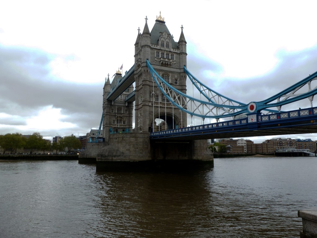
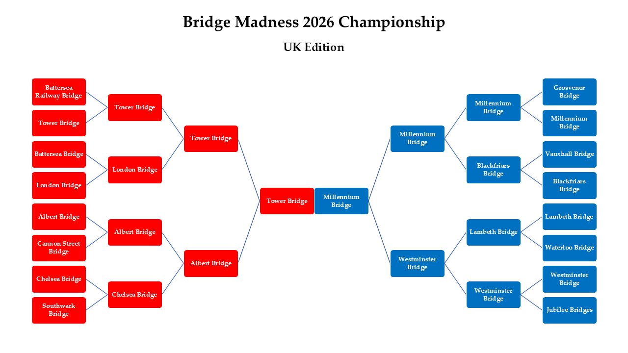
It’s a tie! Tower Bridge and Millennium Bridge each received 50% of the votes in the final round.
Thank you for participating in the 2026 Bridge Madness Tournament! I hope you had as much fun voting as I did watching the votes add up.
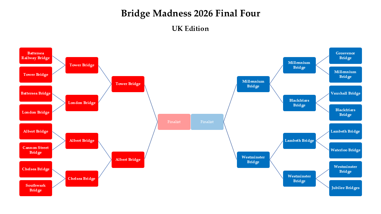
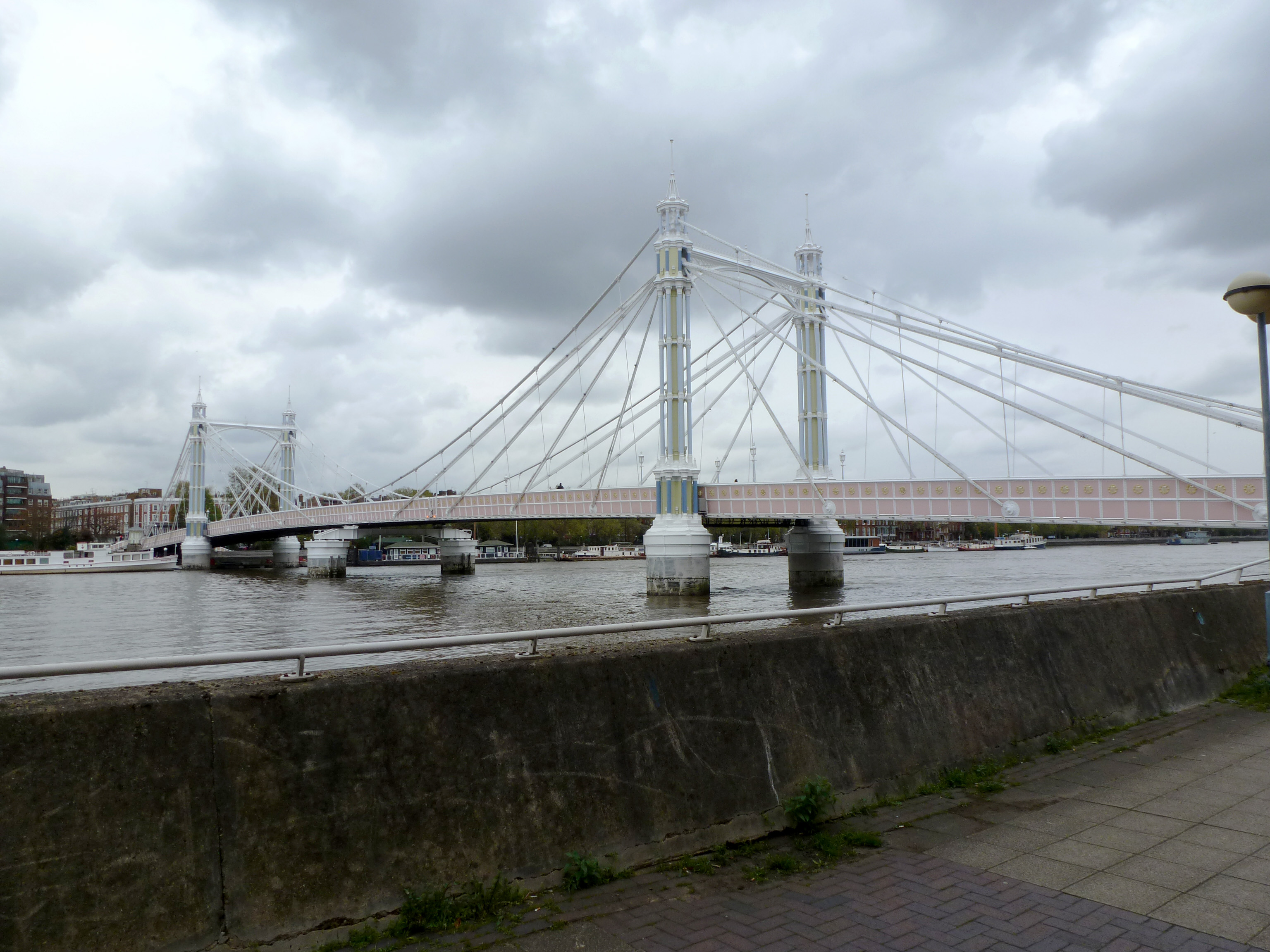
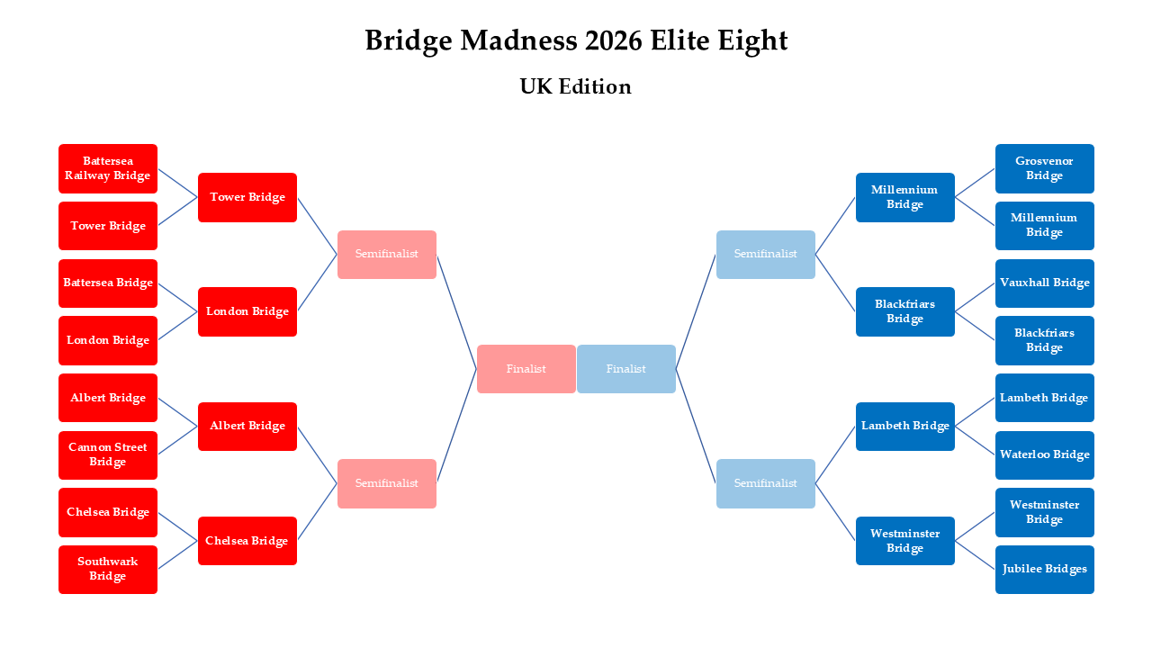
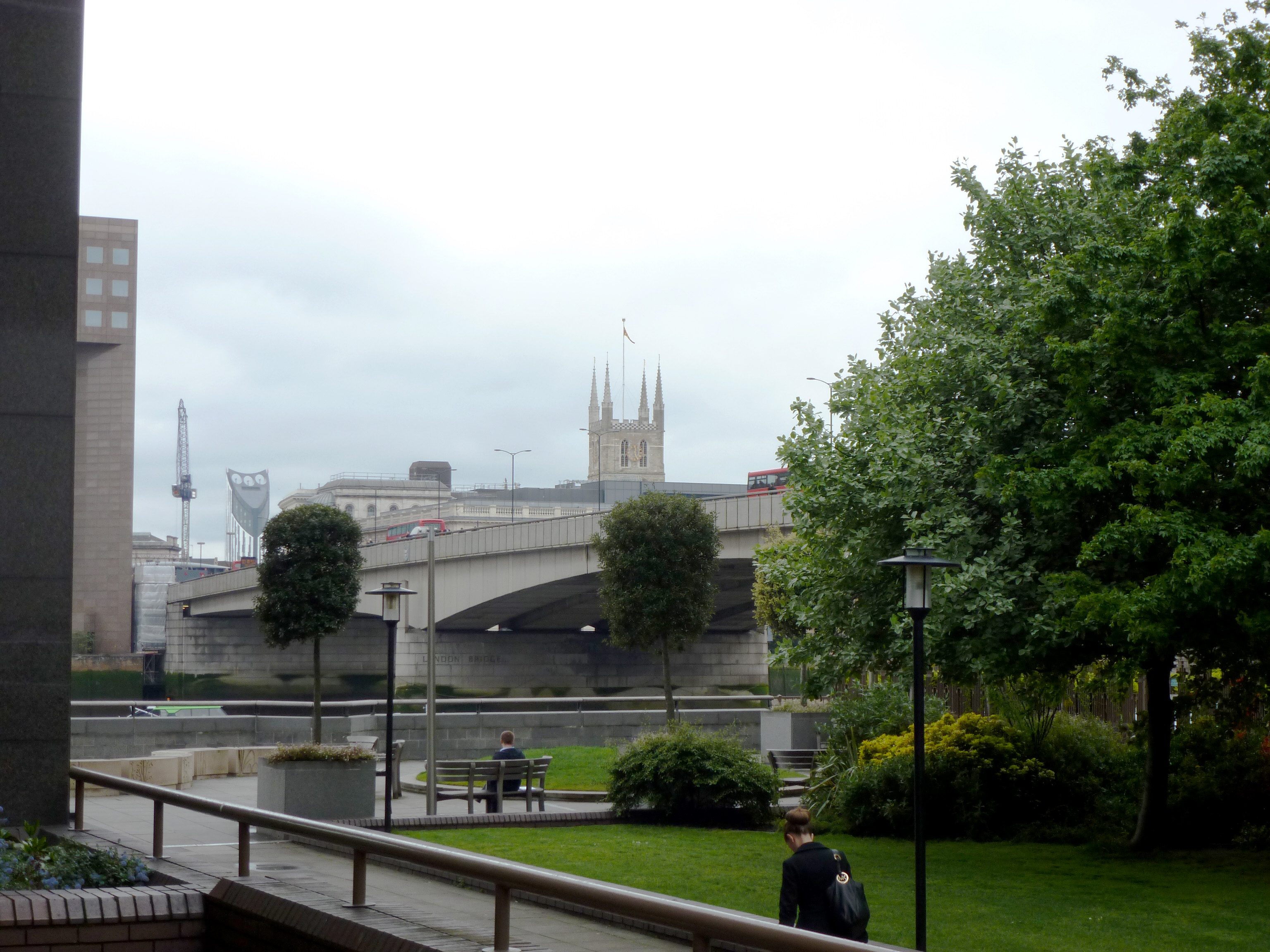
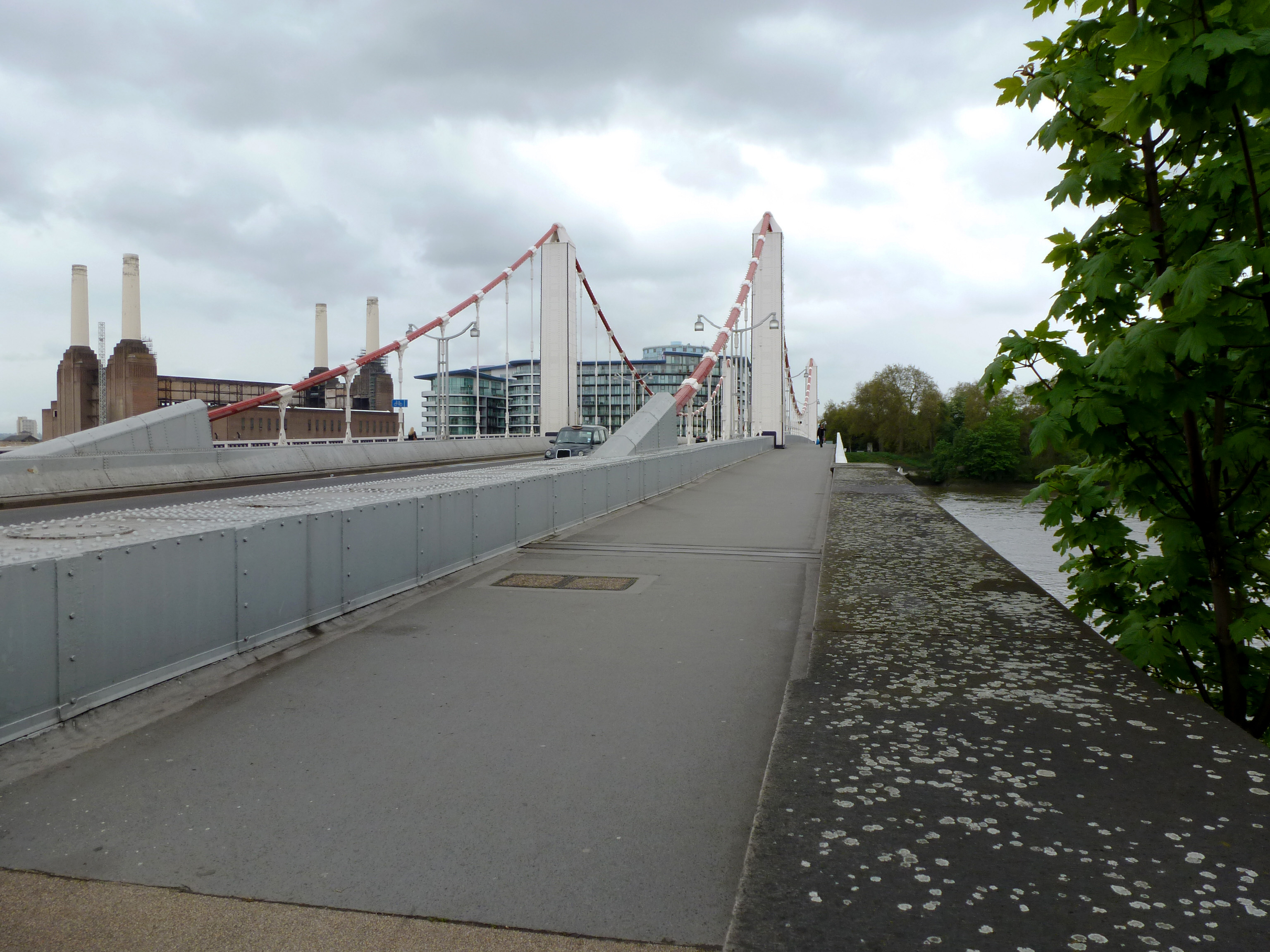
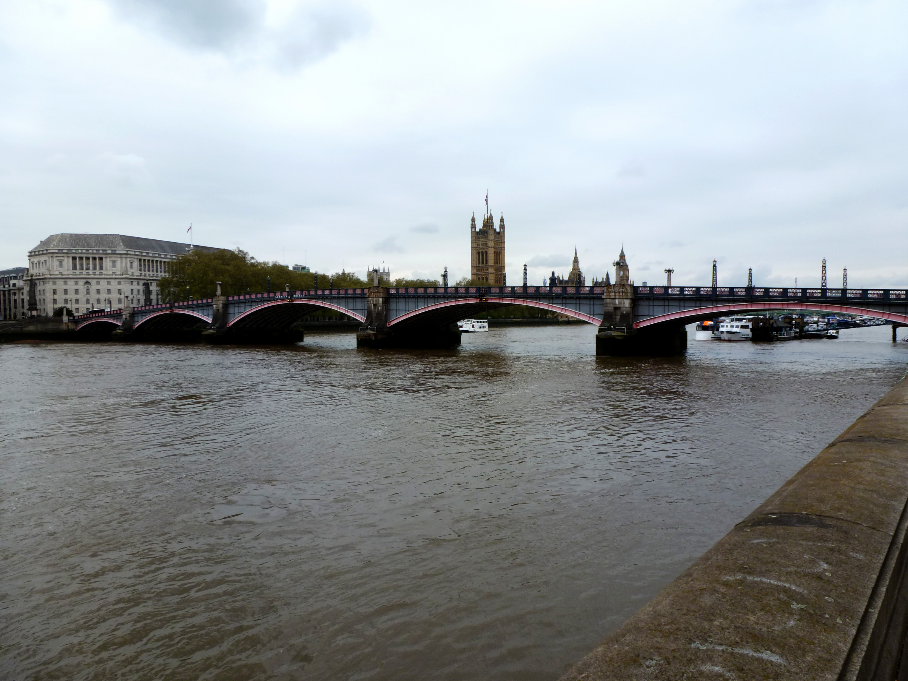
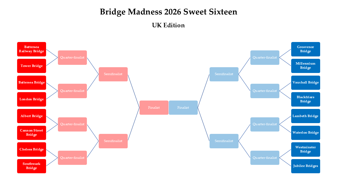
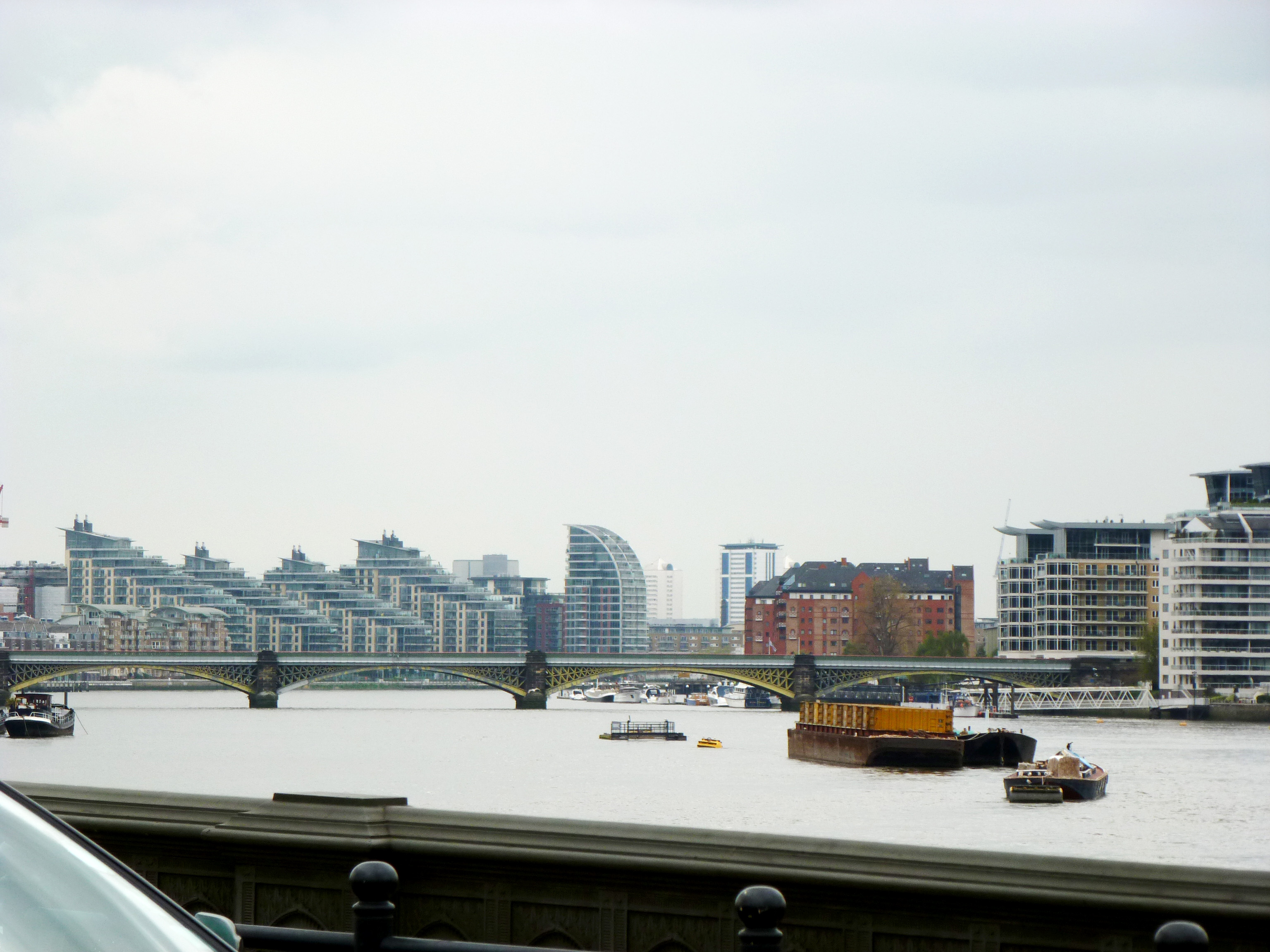
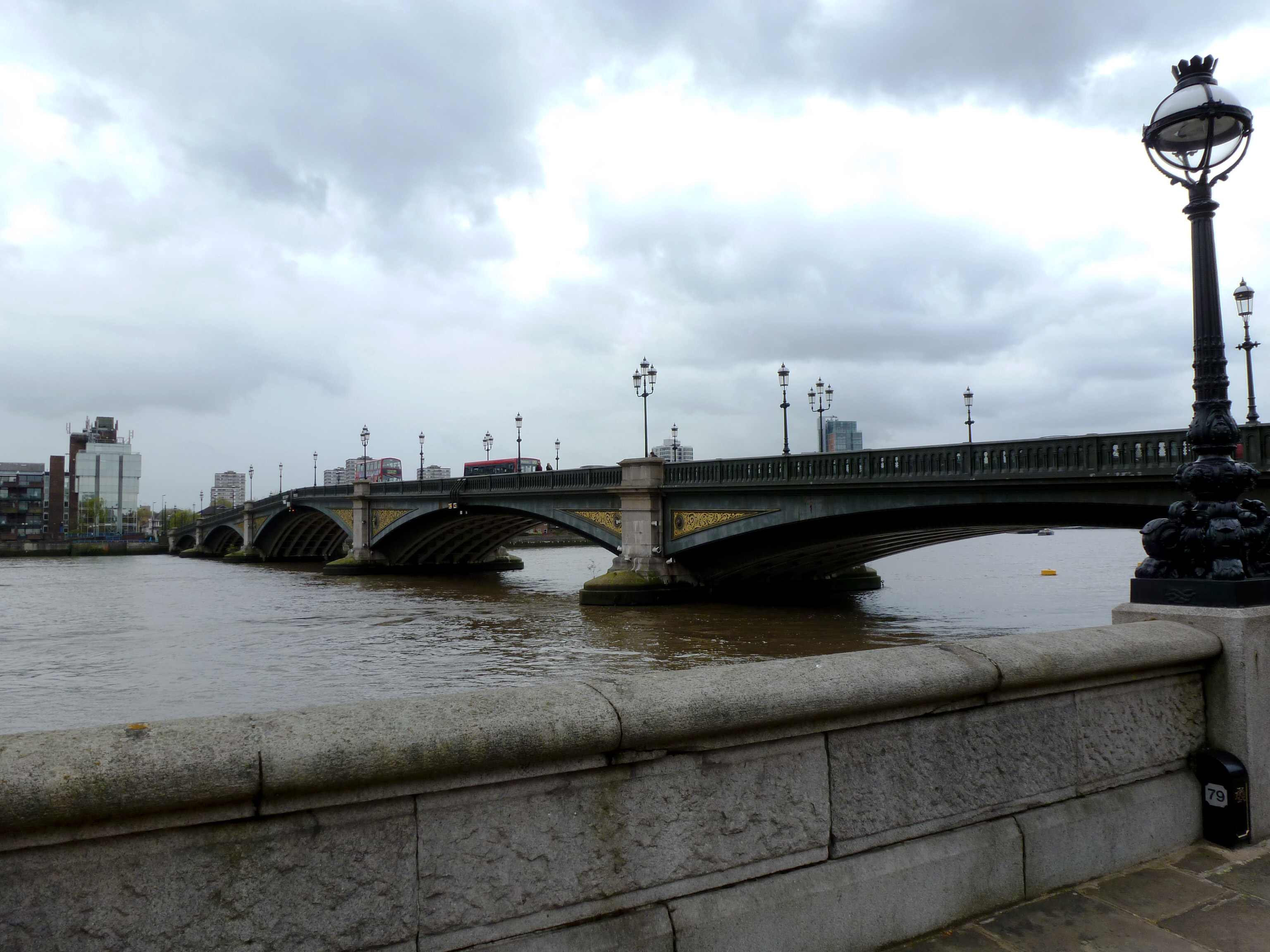
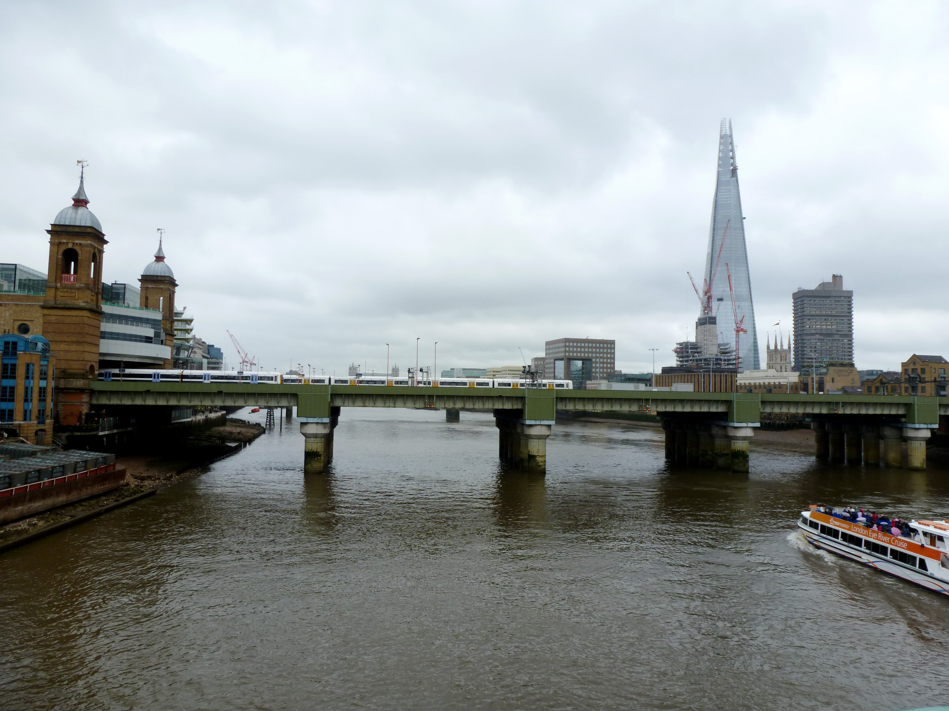
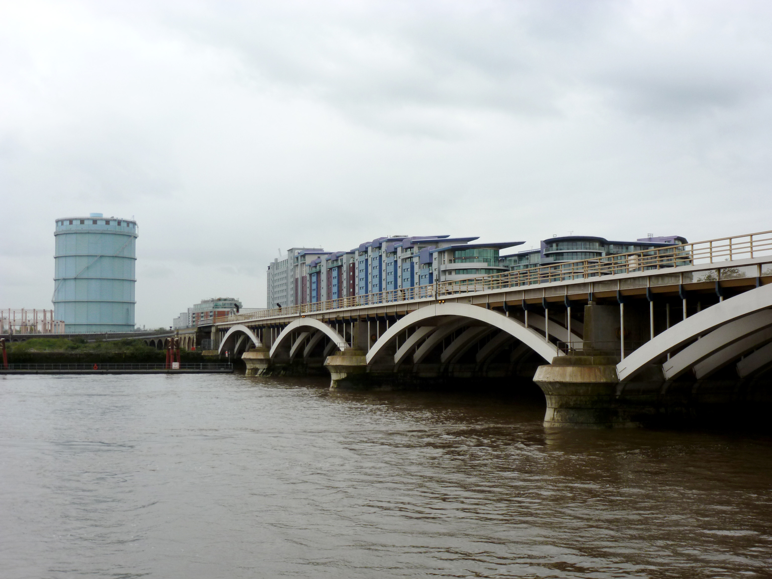
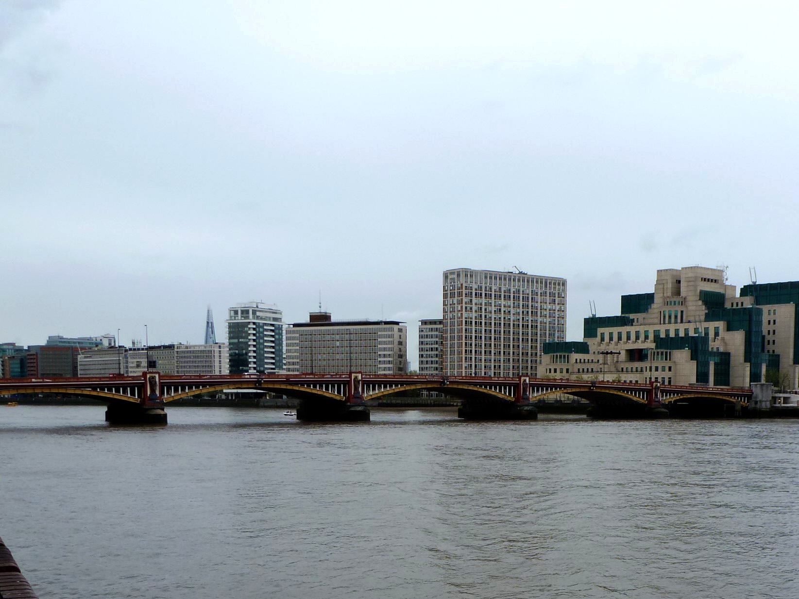
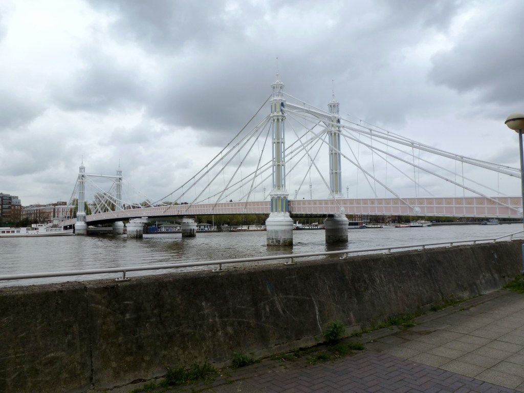
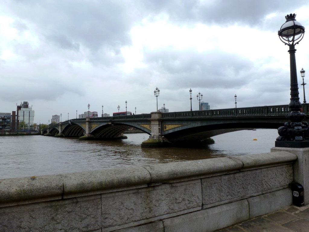
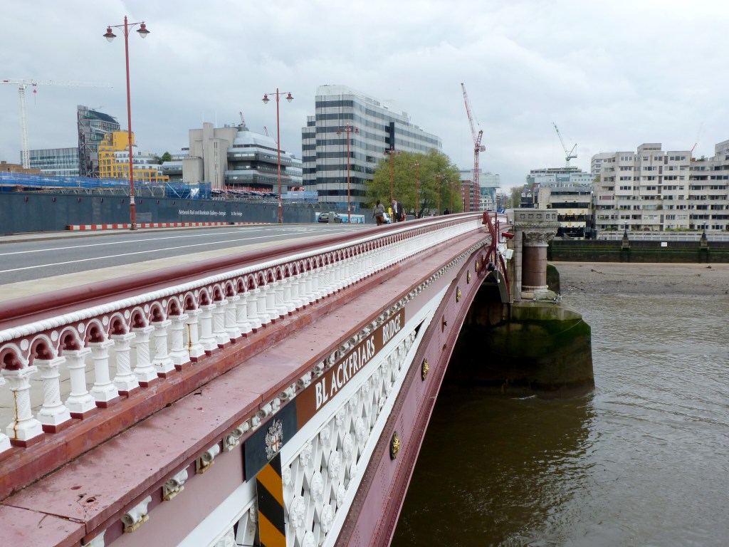
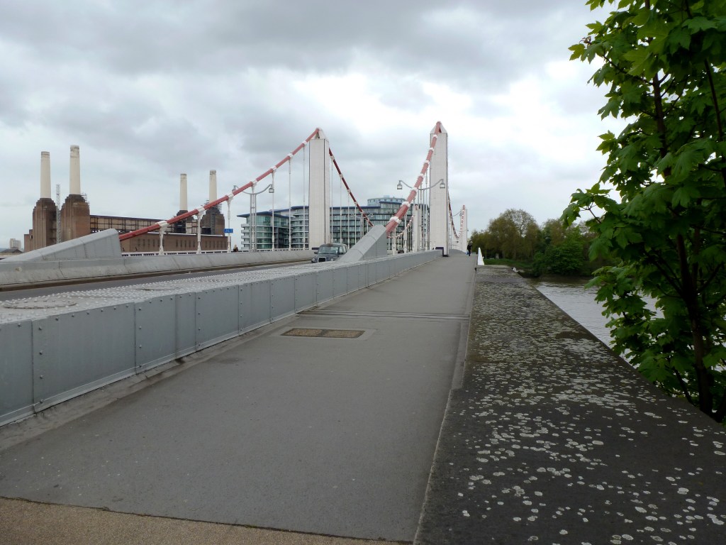
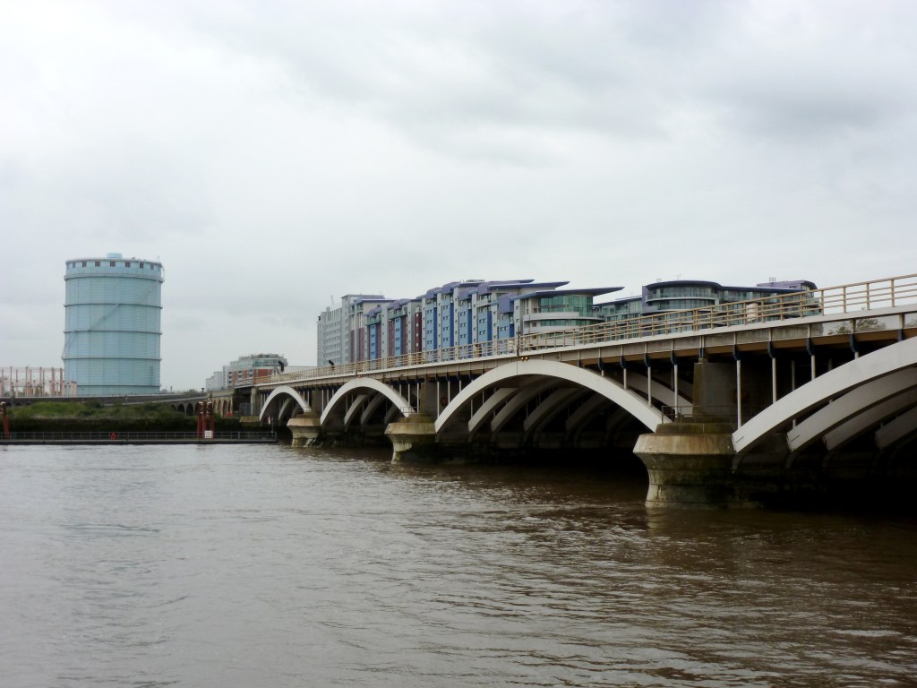
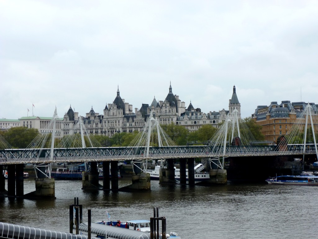
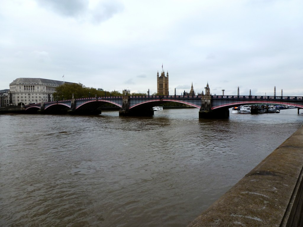
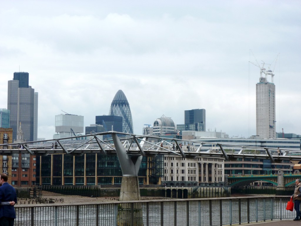
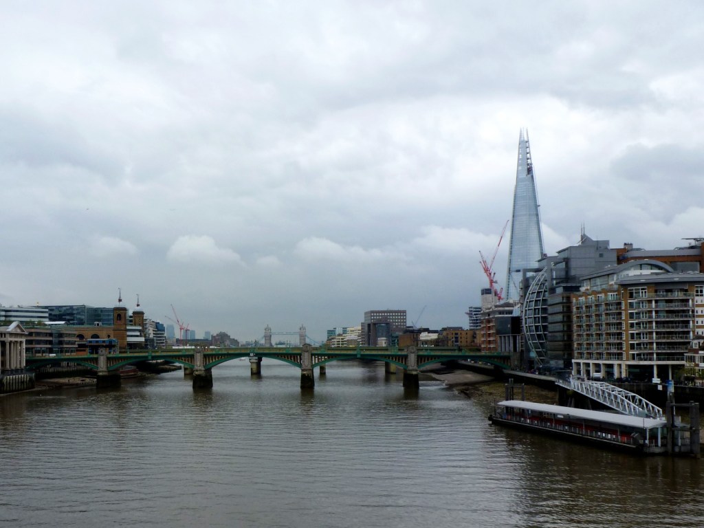
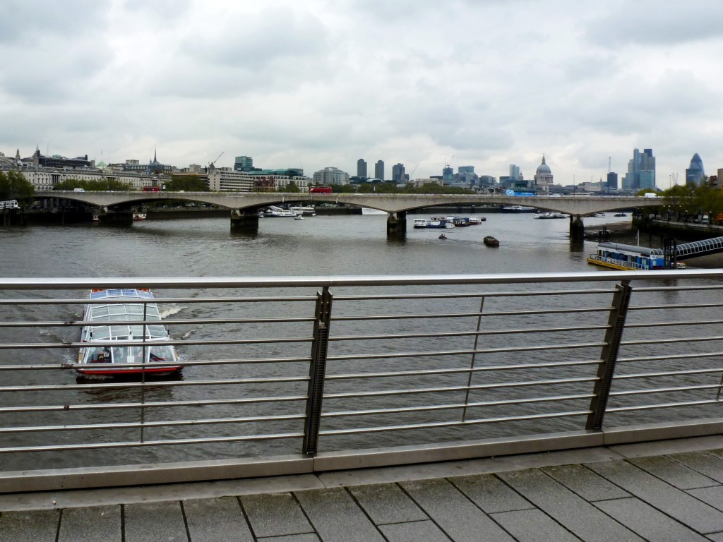
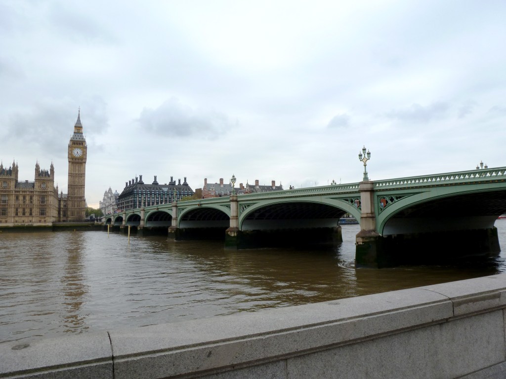
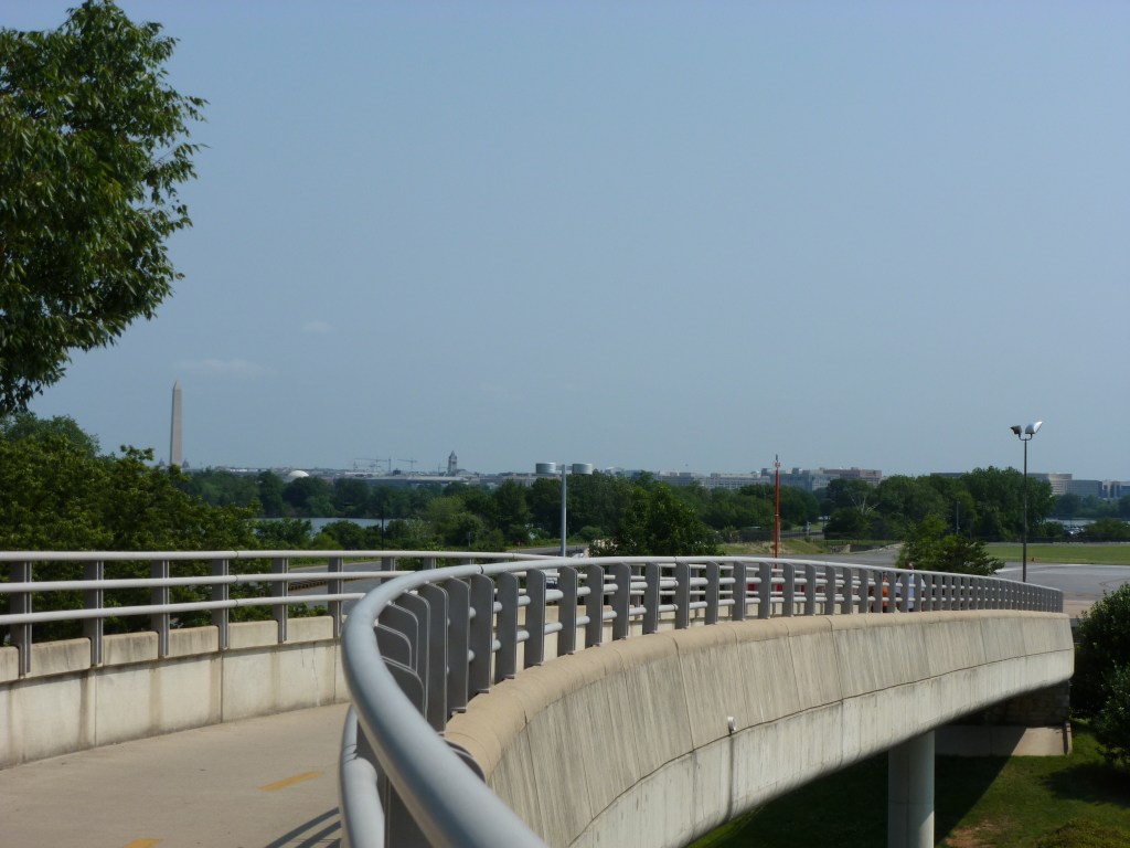
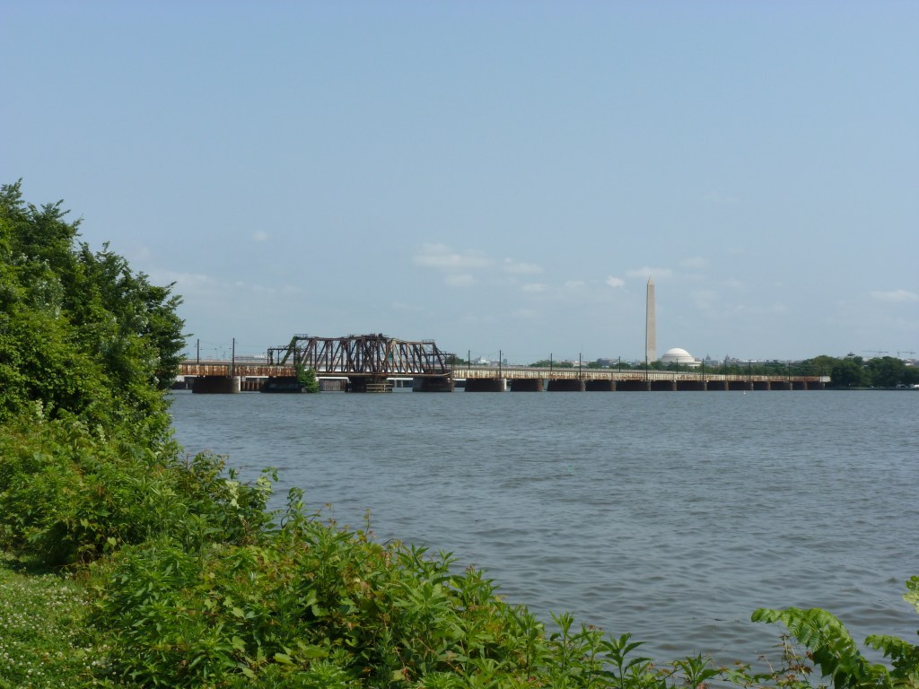
As a reminder, this year’s tournament featured bridges visited by urbantraipsing in London in 2012. Below are the completed brackets for Bridge Madness 2026. To learn more about the bridges, revisit the introduction which has links to posts on each bridge. Keep scrolling to see past winners and for an opportunity to send me feedback on Bridge Madness.
I’m already brainstorming for Bridge Madness 2027. Hope you come back!
Past Winners
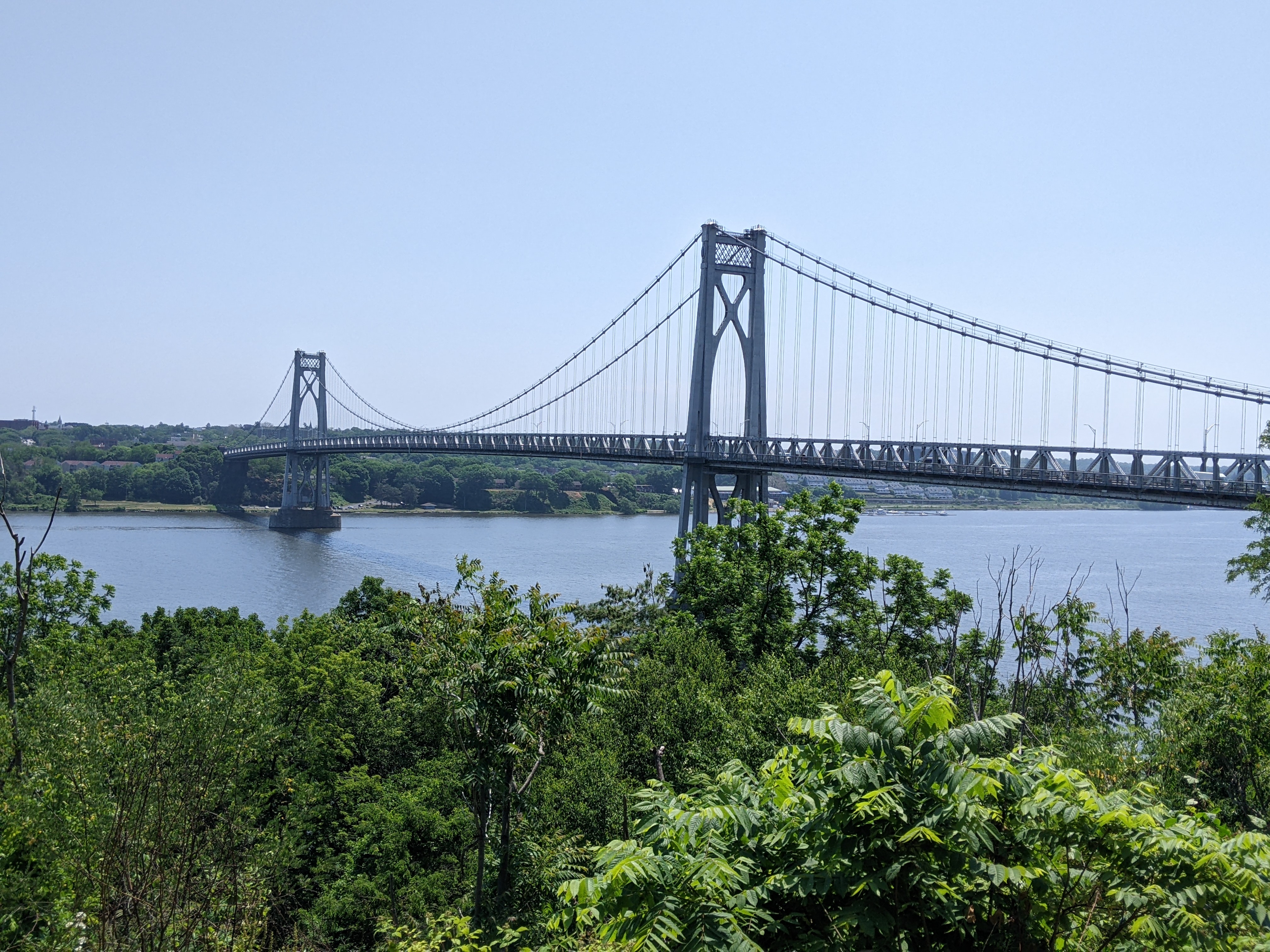
Bridge Madness 2025: National & International Suspension Bridges Winner – Mid-Hudson Bridge
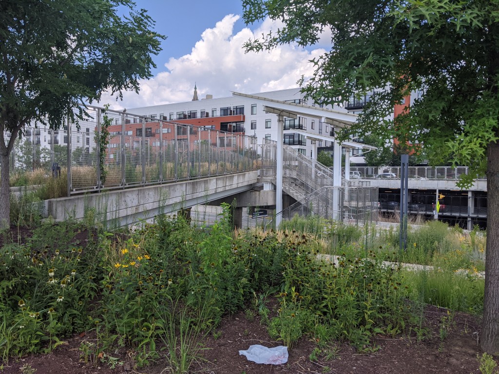
Bridge Madness 2024: Pittsburgh Pedestrian Bridges Winner – East Liberty Station Pedestrian Bridge
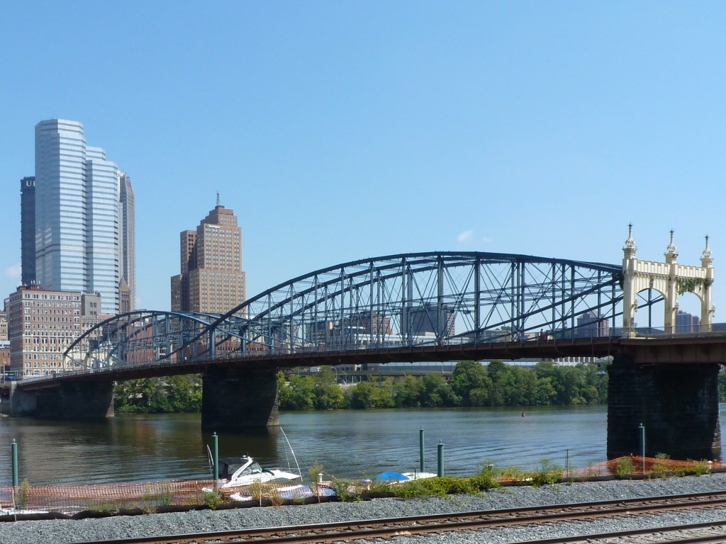
Bridge Madness 2023: Pittsburgh River Bridges Winner – Smithfield Street Bridge