George Mason Memorial Bridge + Others

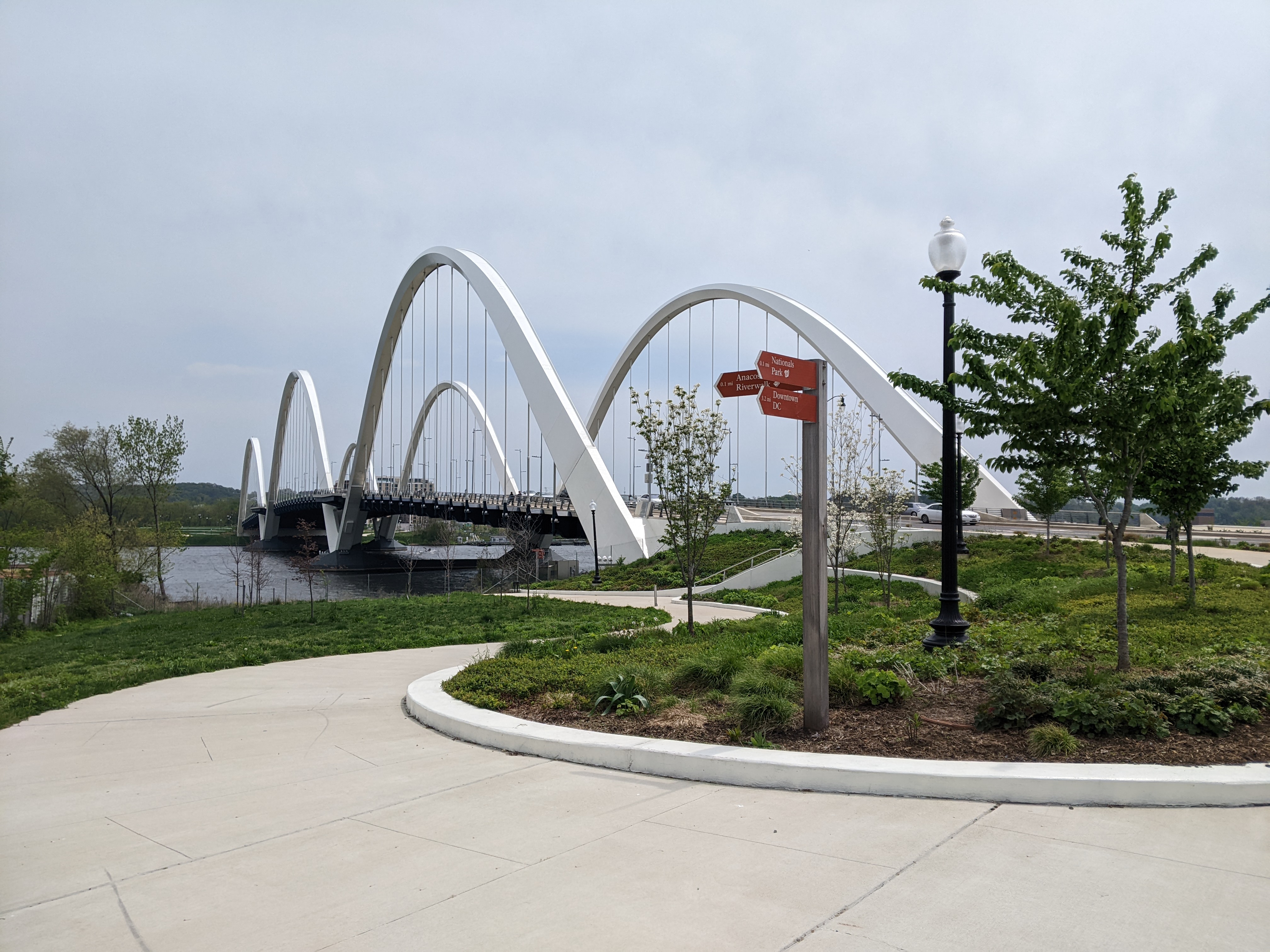
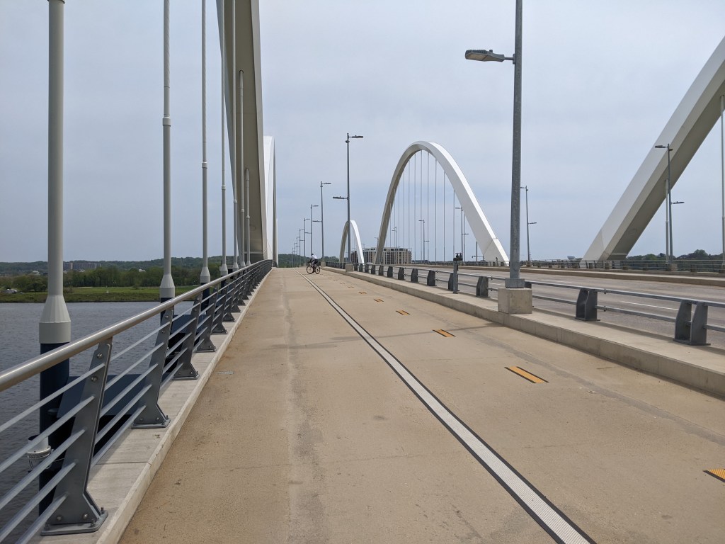
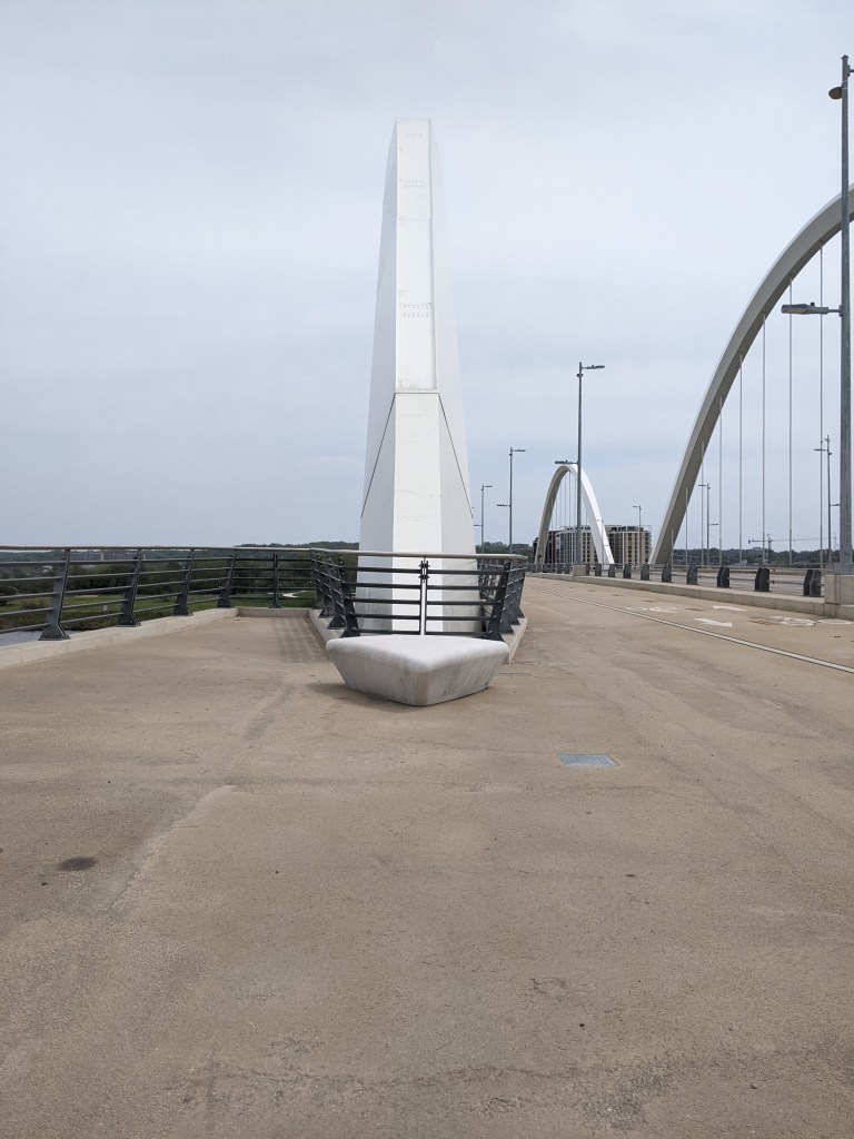
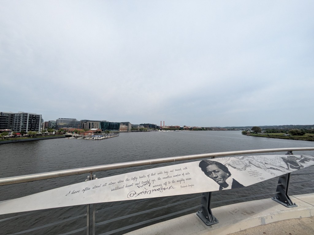
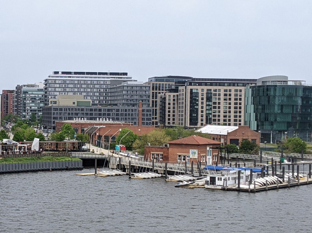
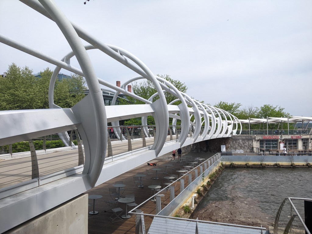
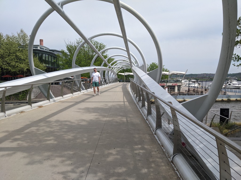
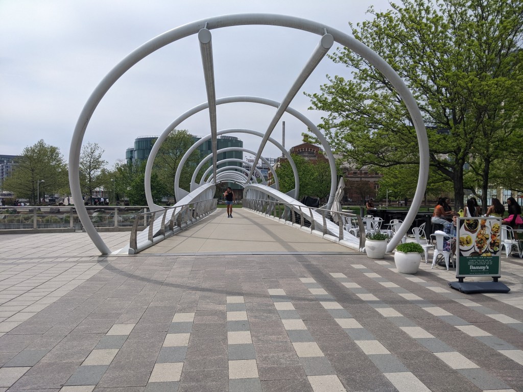
After cataloguing the photos from my April 2025 bridge walking in Washington, DC,1 I revisited the photos from my prior trips to the city and was surprised to find this wasn’t the first time I had walked a bridge across the Potomac River.

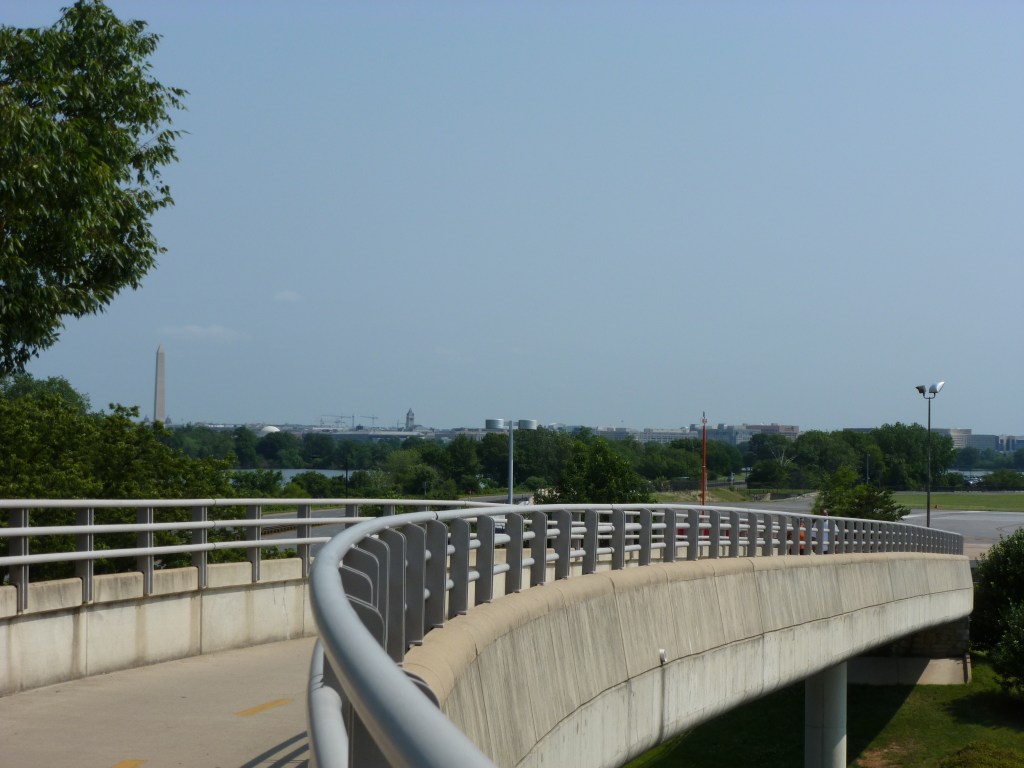
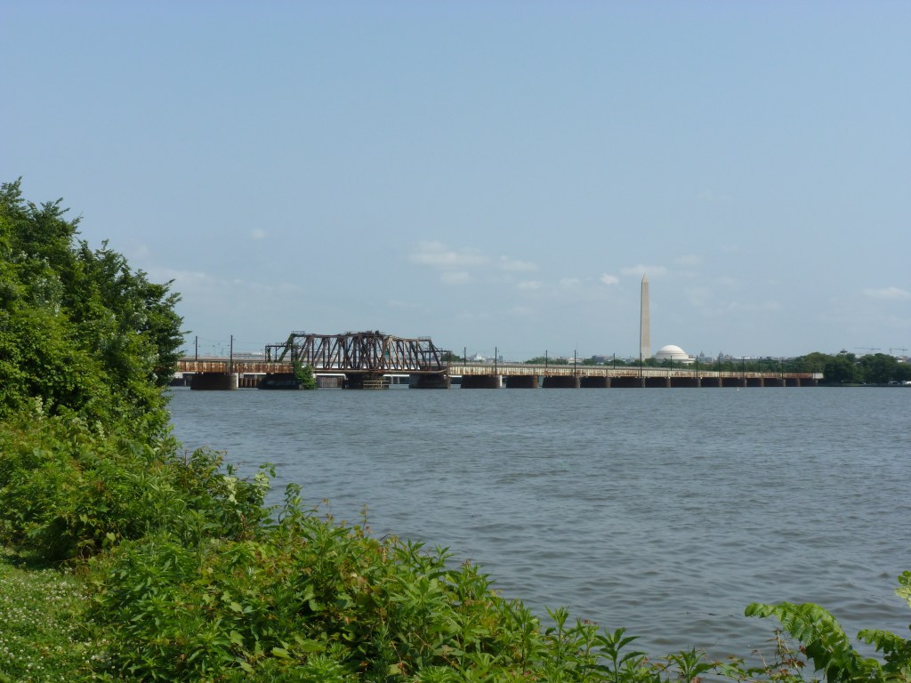
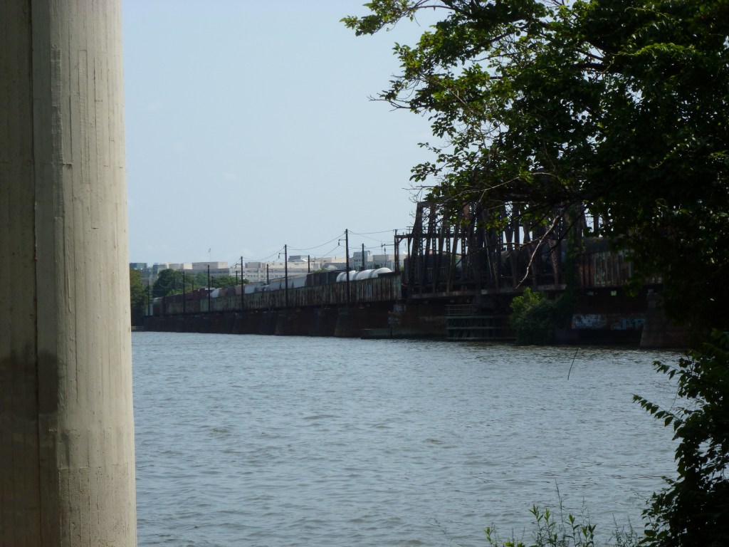
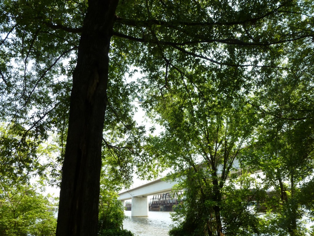
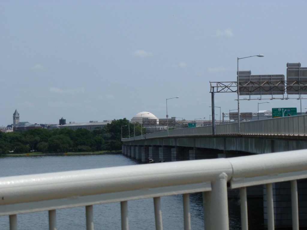
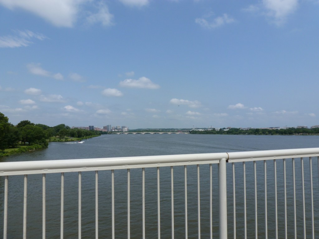
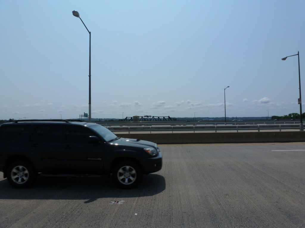
In May 2012, weeks after I had launched my bridge-walking career in London and days before I launched this blog, I was in Washington, DC, visiting my uncle. Based on my photos, I believe we rode the Metro and got off at the Crystal City stop. From there, we walked the Mount Vernon Trail passing over National Avenue/Smith Blvd by bridge and passing under the Long Bridge, Charles R. Fenwick Bridge, Arland D. Williams Jr. Memorial Bridge, 14th Street Bridge, and George Mason Memorial Bridge. We finished our bridge exploring by walking across the Potomac River on the George Mason Memorial Bridge.

  1. Francis Scott Key Memorial Bridge, Frederick Douglass Bridge, Anacostia River Canals, and C&O Canal ↩︎

Washington, DC, Mural

On Day 2 of my April 2025 Washington, DC, trip, I needed to take it easy. However, I couldn’t sit inside all day. On a short excursion near Union Station, I got uncomfortable as I approached the underbelly of the railroad bridge over K Street. My experience of similar structures in Pittsburgh is that they are dark, dirty, untended, and creepy. Bird droppings or bridge droppings are likely to land on you at any point.

The underbelly of this bridge over K Street defied my expectations. A light mural created a welcoming and engaging experience that felt more like Buffalo’s Seneca One murals than the underbelly of Pittsburgh’s railroad bridges. Because light was used instead of paint, it lit up a dark place and incorporated engaging animation:

Gateway Park, Arlington

While walking from the Rosslyn Metro Station to the Francis Scott Key Memorial Bridge over the Potomac, we walked over a surprise bridge. If we had chosen to walk over on the upriver side of the Francis Scott Key Memorial Bridge, I may have completely missed that we walked a bridge over I-66.

Gateway Park is a “cap” over the freeway and is both a park and a bridge. Unlike Pittsburgh’s CAP or Frankie Pace Park, Gateway Park was built in the 1980s at the same time as the freeway it covers. It also distinguishes itself from Pittsburgh’s park/bridge by appearing to be fully integrated with the surrounding city and having well-utilized programming.

C&O Canal Bridge, Georgetown

I couldn’t resist the temptation to walk across the C&O Canal, or what’s left of it. The climb down to this bridge from Georgetown and the Francis Scott Key Memorial Bridge included a very steep street and then some steps. Yet, this bridge is still significantly above the level of the river, approximately in line with the elevated freeway of Rt. 29.

After walking the downward slope across this bridge and its ramp to the towpath level, we had to walk down a set of stairs to reach the level of the Georgetown Waterfront Park. As the sidewalk on Francis Scott Key Memorial Bridge is more than 60 ft above the water, the hike from the bridge to the waterfront park across the C&O Canal bridge is similar to climbing down and then up the stairs in a 6-7 story building.

There was an interesting mural along the stairs, and the park itself was beautiful, but the need to conserve my energy at this point limited the photos I took to the most important (the views of the Francis Scott Key Memorial Bridge and the underside of the elevated freeway shared in the Francis Scott Key Memorial Bridge post).

Frederick Douglass Bridge, DC

For years, even before I started urbantraipsing, I thought nothing of walking from transit stop to transit stop, bridge to bridge, as I explore and encounter the expected and unexpected nooks and crannies of a city. That way of life came crashing to a devastating halt in the fall of 2023 when I developed Long COVID.

Six months passed.

And then a year.

The return to “normal” my doctors promised seemed increasingly unlikely. But a return to functional seemed within reach. The question remained: did urbantraipsing fall within this new functionality?

After a few local test excursions, I felt physically and mentally strong enough to test travel. In April 2025, I took a long-overdue trip to visit my brother in Washington, DC. On this trip, I encountered some great bridges and learned that, much like other activities, with modification and accommodation urbantraipsing is a way of life I can continue.

The open, through-arch Frederick Douglass Memorial Bridge was one of our expected encounters. I probably would have been ecstatic about the unexpected benches in the lookouts between the arches under previous circumstances. After all, it isn’t every day that you find a bench on a bridge. However, in the past, I probably would have just said “that’s cool,” photographed them, and moved on. Instead, I took full advantage of these seats for one of my rest and rehydration breaks. This slow down is the reason I spotted the Yard Park Bridge, a bridge I definitely needed to add to my collection.

Perhaps slowing down and being more intentional to accommodate my Long COVID needs will continue to add depth to my urbantraipsing experiences.

Anacostia River Canals

The Anacostia Riverwalk Trail crosses over the openings of several canal channels within a short distance from the Frederick Douglass Bridge in Washington, DC. The first canal opening that I walked over, I had no idea that I was walking on a bridge…like when I walked over the Grosvenor Canal in London. It wasn’t until I was checking out the views from the Frederick Douglass Bridge that I saw the opening for the canal underneath the path I had just walked. (First picture in the slide show below.)

The bridge pictured above appears to have been over a canal that fed into or out of (or both?) the old O Street Pumping Station. This bridge was clearly visible as we walked passed it on our way to the Frederick Douglass. I was tempted to cross it (as a bridge walker, it is hard to walk passed a bridge and not over it), but I was tired and trying to conserve energy. However, once on the Frederick Douglass Bridge, I spotted another pedestrian bridge just beyond this one that I could not pass up the opportunity to walk, no matter how tired I was.

The Yard Park Bridge is a highly photogenic bridge, perhaps rivalling London’s Millennium Bridge. It crosses over what I think are the remnants of the Washington City Canal, most of which has been paved over. The paved portion visible from the Yard Park Bridge reminded me of the portions of the Erie Canal in Buffalo paved over for a skating rink and other recreational purposes.

London Docks

There are four docks or canals connecting into the River Thames along the stretch of the river through Central London that I walked in 2012. I walked bridges over three of these, though I was too distracted by other sites to photograph one of them. The one I missed was the Grosvenor Canal between the Chelsea and Grosvenor Bridges. I was busy photographing the former Battersea Power Station, Grosvenor Bridge, and the train yard next to the Grosvenor Bridge to notice that I walked another small bridge over the Grosvenor Canal. Returning to the site through Google Street View, it looks like the kind of bridge that you’d have to know was there to notice it.

I did notice when I was crossing the bridge across Ransome Dock (picture above), between the Battersea and Albert Bridges. Although, I hadn’t yet learned my lesson to always take an establishing shot of the bridge itself, not just the views from the bridge.

I also noticed when I walked across the Rolling Bridge over St. Saviour’s Dock (picture below), which is slightly downriver from the Tower Bridge. The structure of the bridge itself was fascinating enough that I did take a picture of it. It wasn’t until much later that I learned it truly is a unique bridge – the only draw bridge to curl up on itself.

Murray Avenue Bridge 2012-2025

Ironically, a few days after my catch-up post about the Murray Avenue Bridge in Squirrel Hill went live, I unexpectedly found myself walking that bridge for the first time since 2012. The bridge looks mostly the same, slightly rusted but presumable functional as it hasn’t collapsed or been closed following a regular inspection. The stairs have been replaced though. I didn’t have a reason to go down them in 2012 and didn’t feel comfortable testing them out for the heck of it then. In 2025, the Urban Hike walk I was on came at the bridge from the street below and we climbed up the newish, solid-looking steps; a few of us (me included) pausing “for the view” on our way up.

The before and after photo pairs below don’t exactly line up, given the different angles and orientations of the photos, but it seemed a good opportunity to try out the image compare option. Before: August 2012, After: August 2025.

Layers of the City: Buffalo Edition

Chicago first drew my attention to how we layer our cities. I wasn’t thinking of this theme when I was in Buffalo, but when I reviewed my photos, this bridge-walking photo caught my eye as another iteration of city layering. Buffalo’s layering is more subtle than Chicago’s, but like Chicago, there are a variety of uses/activities at each level.

Underground

The underground layer in this photo is the railroad tracks, which appear to be the tracks the Amtrak uses as the station is nearby. At a similar elevation and a few blocks to the right, the Erie Canal and Lake Erie are other uses at this layer’s level. Part of the canal has been converted into a paved recreation area with skating rink. At the point where this picture is taken, the light rail system is at street level and immediately behind me, but toward the northern end of downtown, it slips underground. Exploration of other potential underground uses such as tunnels, parking garages, or businesses was beyond the scope of this trip.

Street Level

Again, where this photo was taken, the street level includes pedestrian, vehicular, and light transit activity. Although, when I was passing on a Sunday in the late afternoon approaching dinnertime, there was very little of any activity at this location. I had encountered a fair number of people enjoying the indoor and outdoor amenities at Canalside and once back in the heart of downtown there was some activity at street level. This point along the “barrier” to the waterfront felt a little like a no-man’s land.

Pie in the Sky

In this picture, the upper layer of the city is the overpass (or bridge) for I-190. Just on the other side of the overpass the upper layer changes into the Seneca One office and apartment tower that straddles Main Street and has beautiful street-level murals. Downtown has many skyscrapers and other large buildings that contribute to the upper layer of the city, but the outstanding feature for me of Buffalo’s upper layer is the web of overpasses.

Buffalo Bridges: Canalside


There are several pedestrian-only bridges at Canalside, Buffalo. They pass over the end of the Erie Canal, a portion of which has been paved over with a skating rink. When I was there, one of these bridges was closed due to construction and I couldn’t figure out how to get to another one. I did walk over two others of these pedestrian bridges – one over the paved portion and one over the water portion.