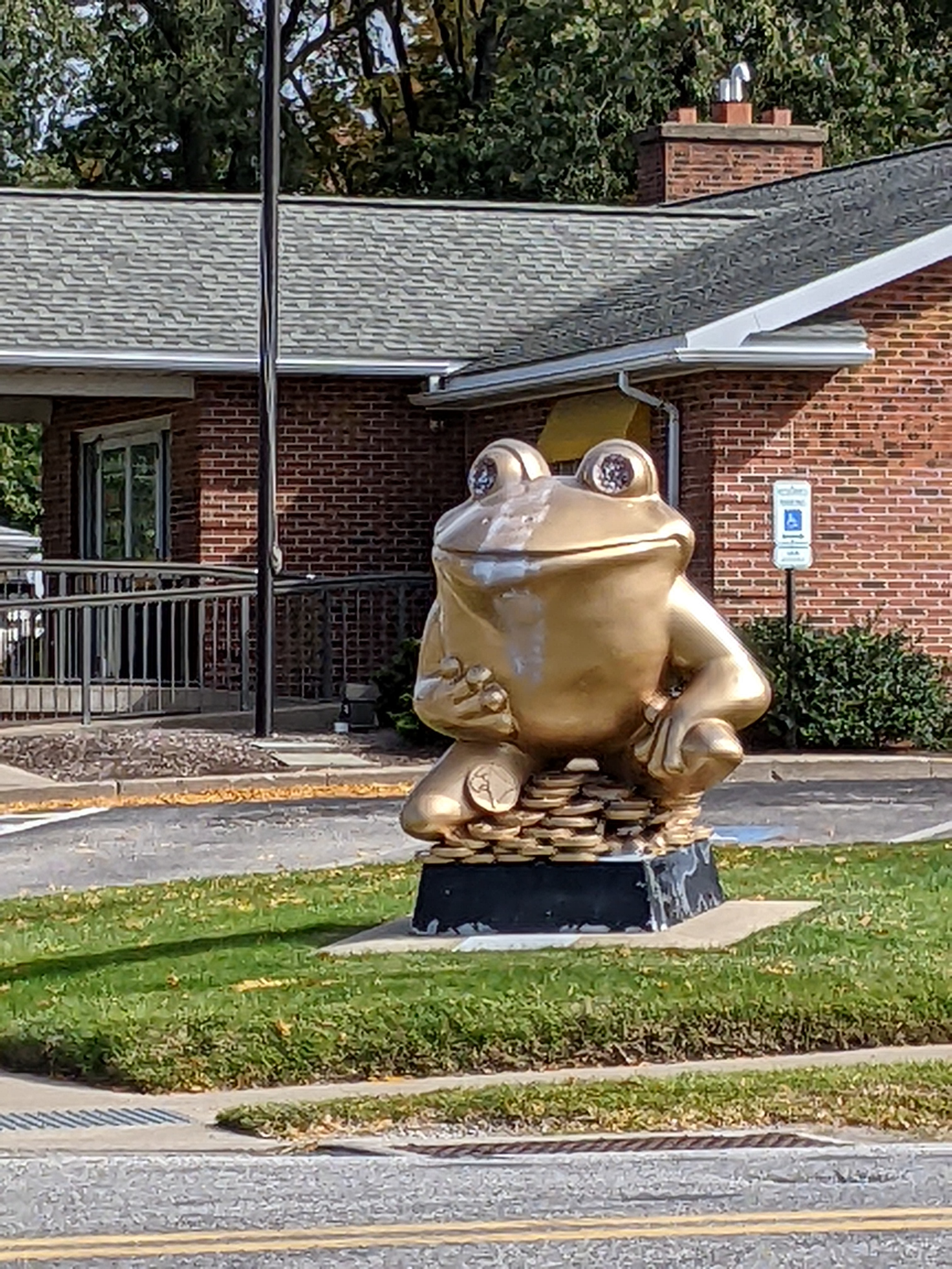
LeapFrog! was a fundraiser in Erie, PA, in 2004. Amy H.’s map pinpointed the building where “Victorian Flower Frog” by MC Gensheimer now resides, but we had to ask a couple people to find it in the cafeteria.

LeapFrog! was a fundraiser in Erie, PA, in 2004. Amy H.’s map pinpointed the building where “Victorian Flower Frog” by MC Gensheimer now resides, but we had to ask a couple people to find it in the cafeteria.
LeapFrog! was a fundraiser in Erie, PA, in 2004. I returned to Erie in 2023 prepared to use Amy H.’s map to find more of Erie’s frogs. However, “E.B. Chelsie” by Mary Pat Lynch was one we stumbled on after thinking we were done looking for frogs for the day.
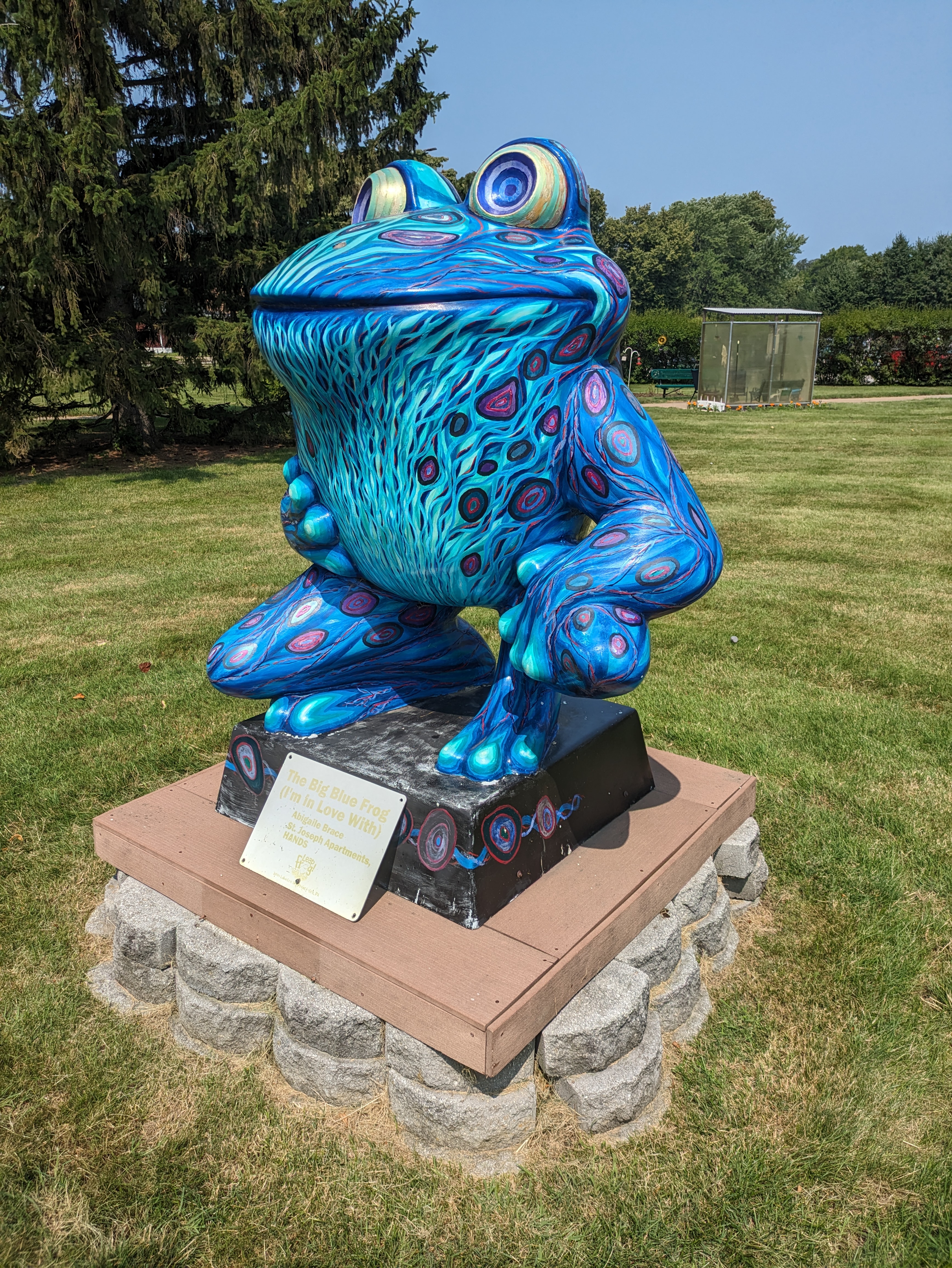
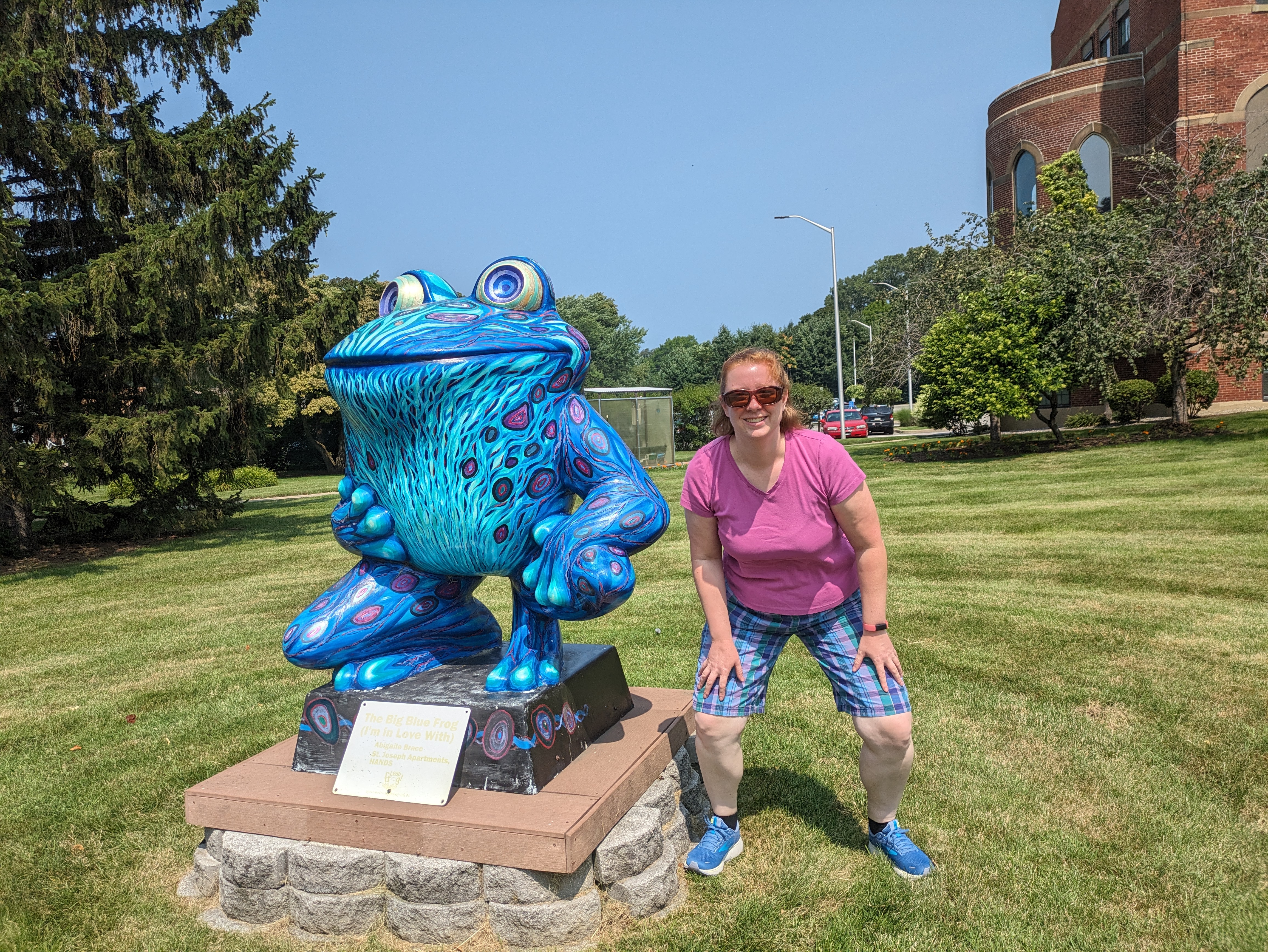
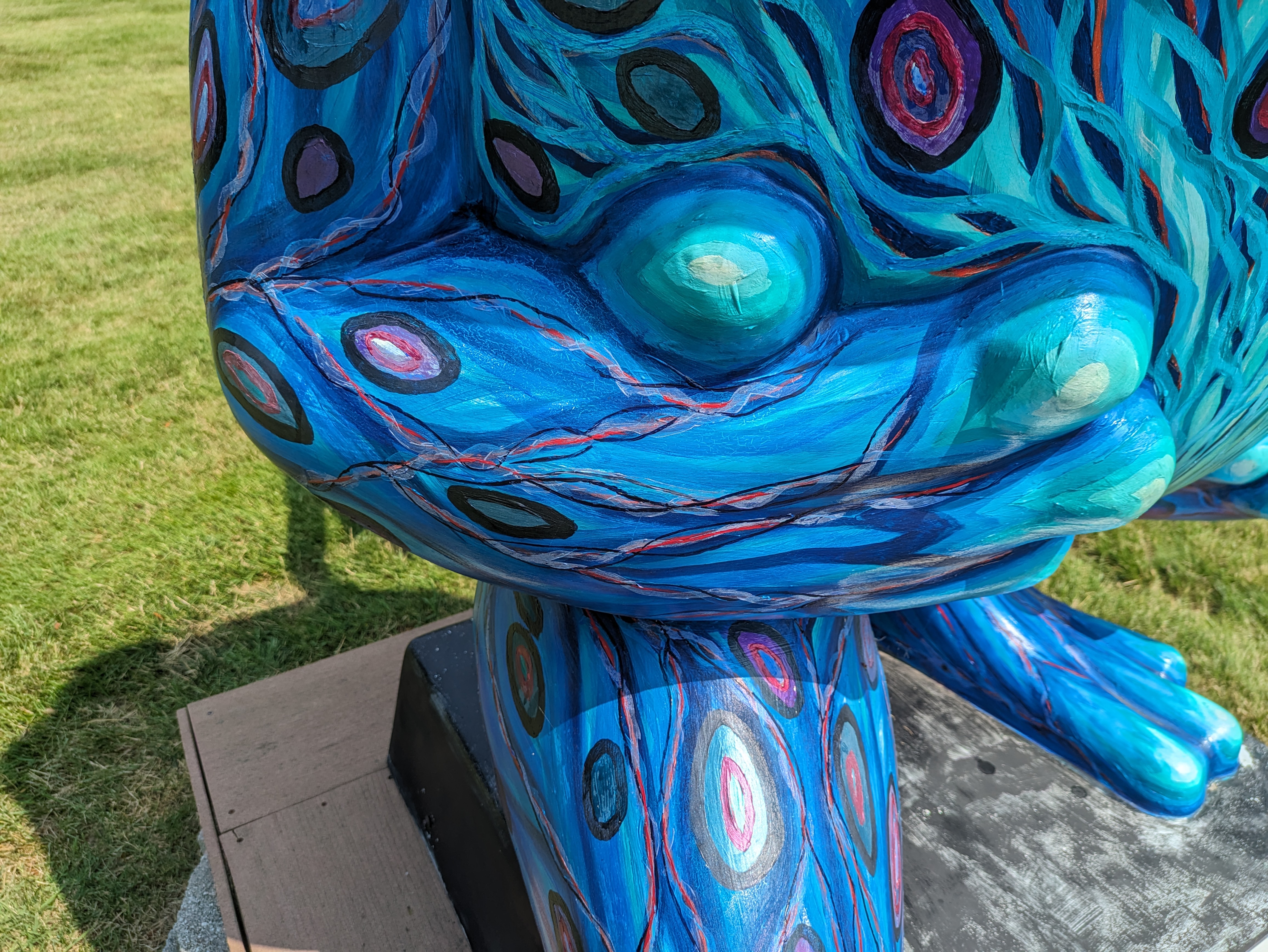
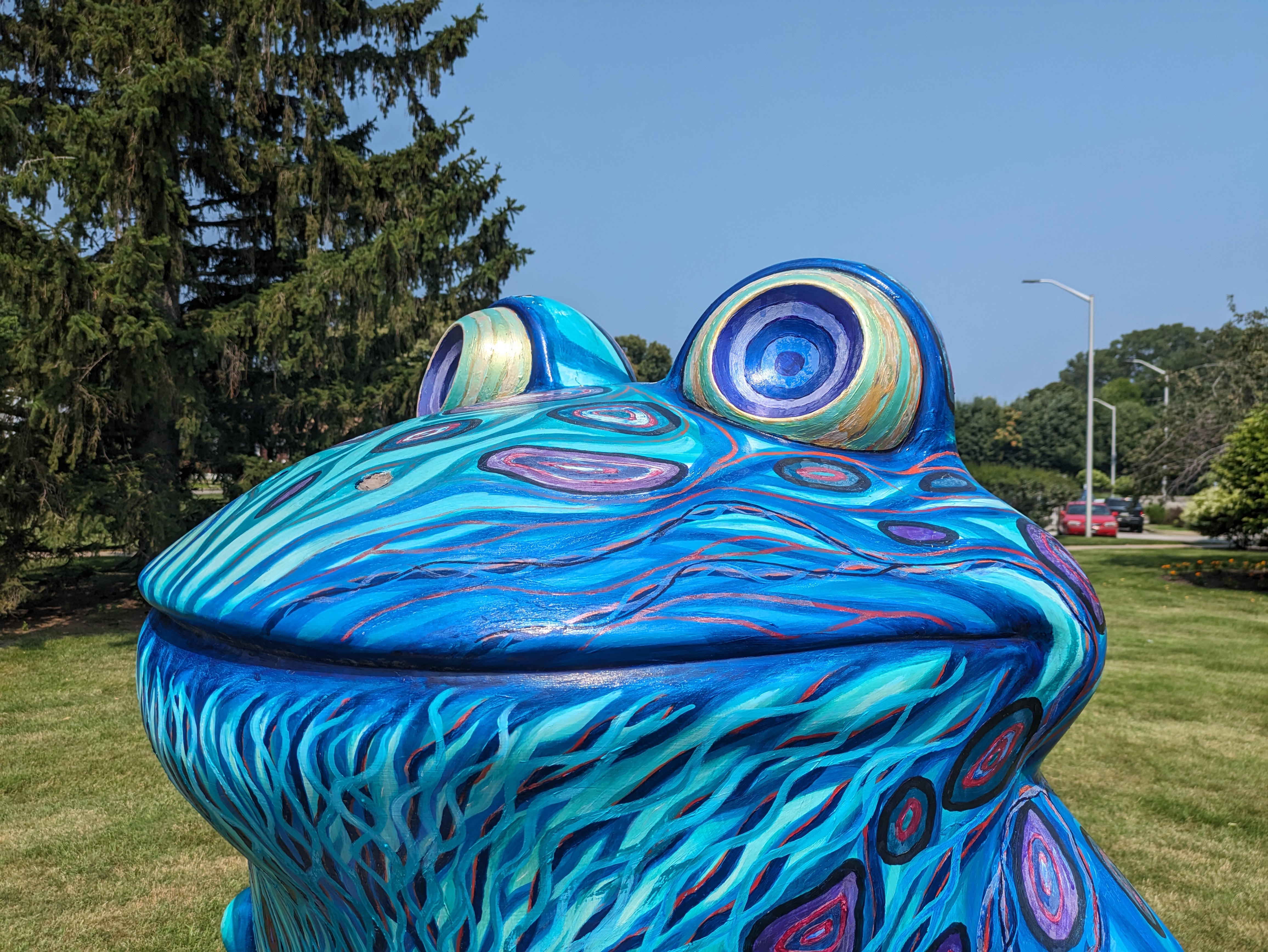
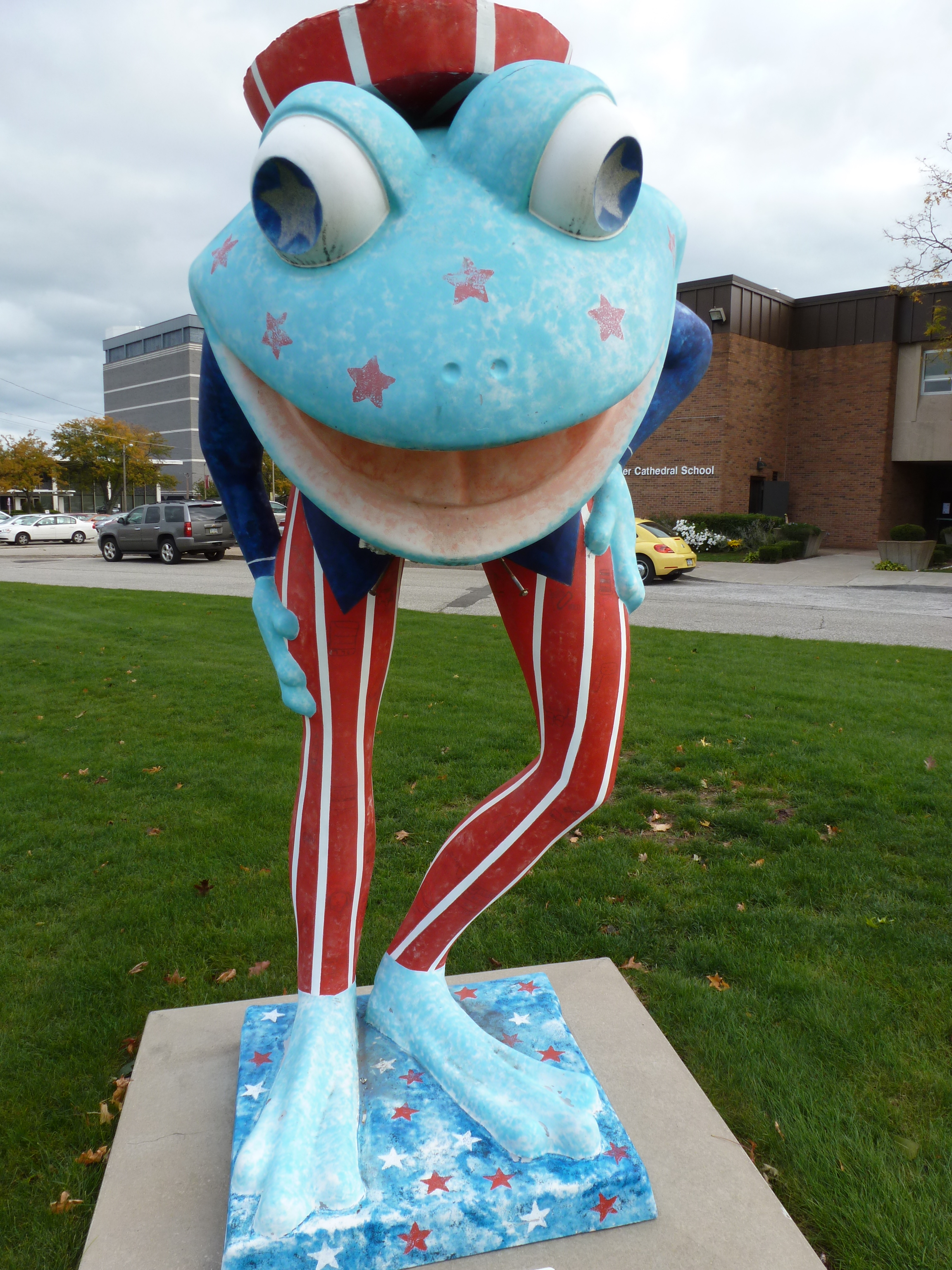
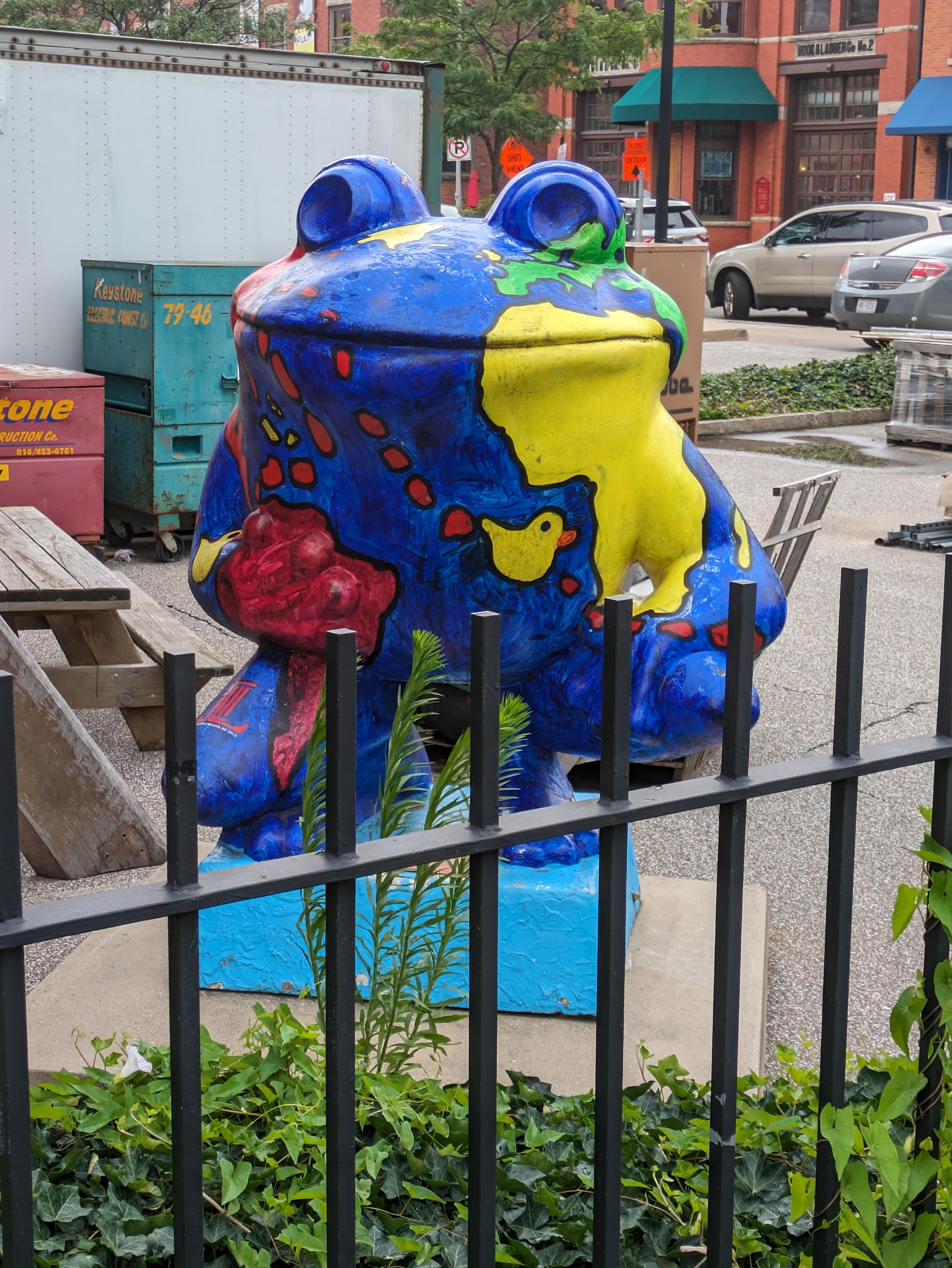
LeapFrog! was a fundraiser in Erie, PA, in 2004. While in 2023, I was prepared to use Amy H.’s map to find more of Erie’s frogs, I found this one in a classic case of driving along to a specific destination and suddenly spotting a frog. “The Big Blue Frog (I’m in Love With)” by Abigaile Brace was sponsored by St. Joseph Apartments, HANDS, and it still sits on their lawn.
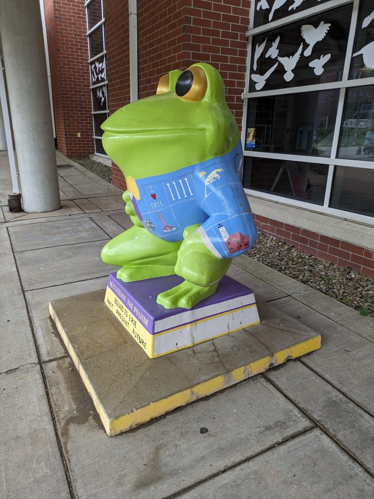
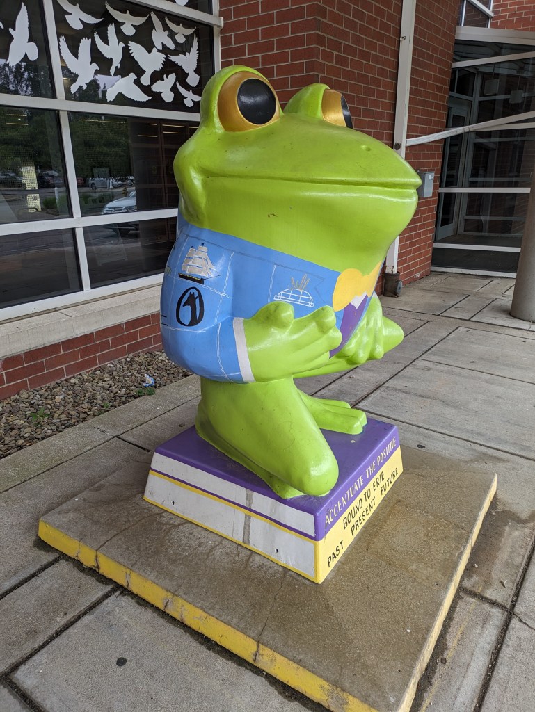
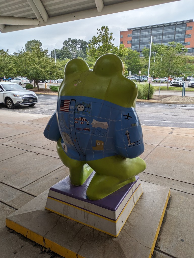
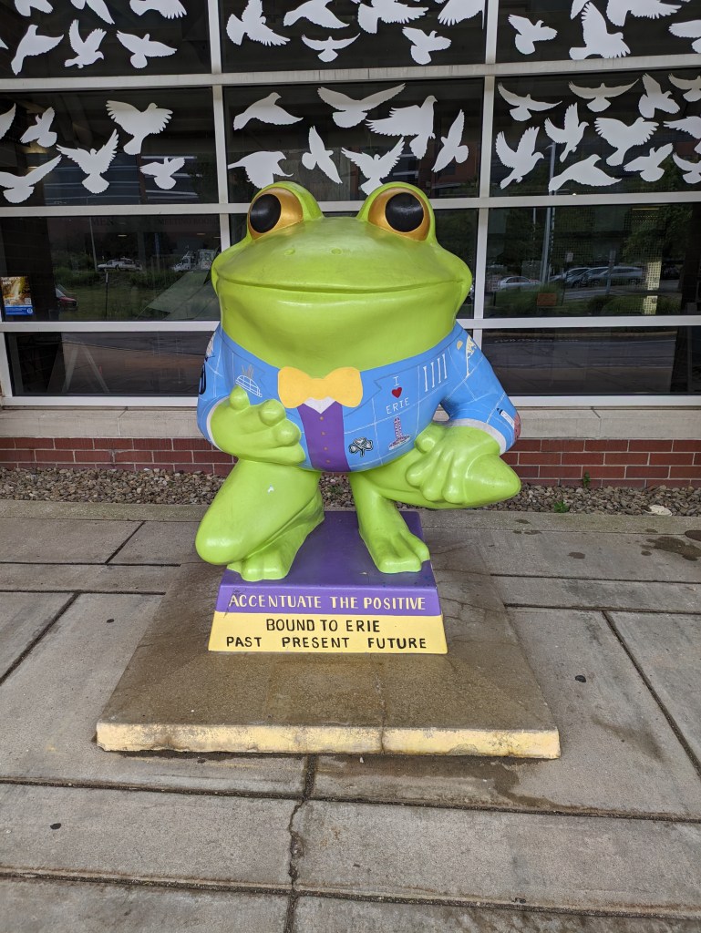
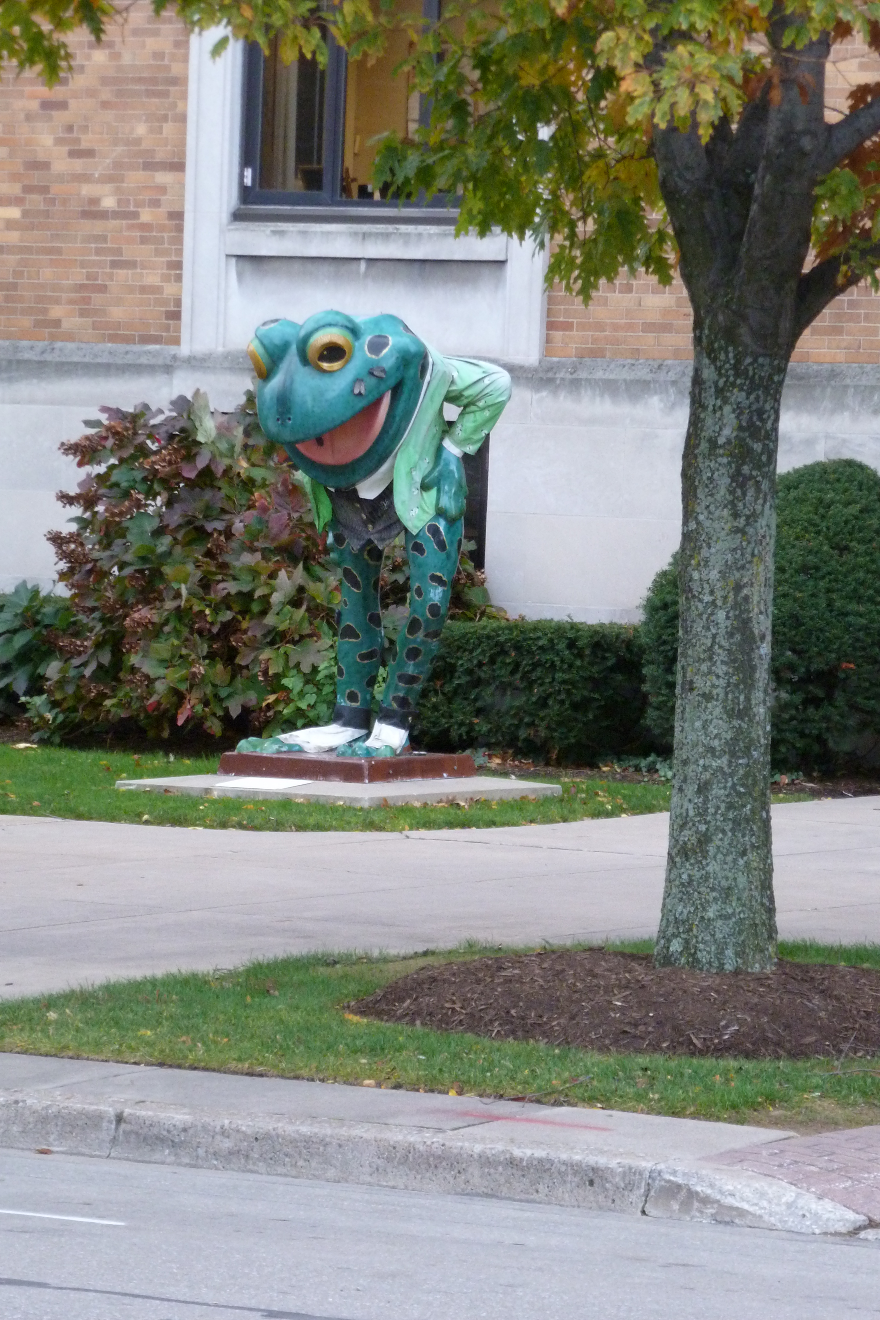
LeapFrog! was a fundraiser in Erie, PA, in 2004. This “Literary Leaper” by Nancy Hall caught my eye in 2012 (above). When I went back in 2023, it had been repainted (below) and is now know as “Accentuate the Positive.” In both visits, it was outside the public library connected to the Maritime Museum. I think I found it in 2012 on my way to the bus station across the street. In 2023, I rediscovered it thanks to Amy H.’s map.
LeapFrog! was a fundraiser in Erie, PA, in 2004. “I Only Have Flies for You” by Susan P. Black was one of the frogs I found in 2012. I don’t remember where I found this one and I don’t see it on Amy H.’s map of the frogs. This suggests that it has either been repainted or removed from the public eye.
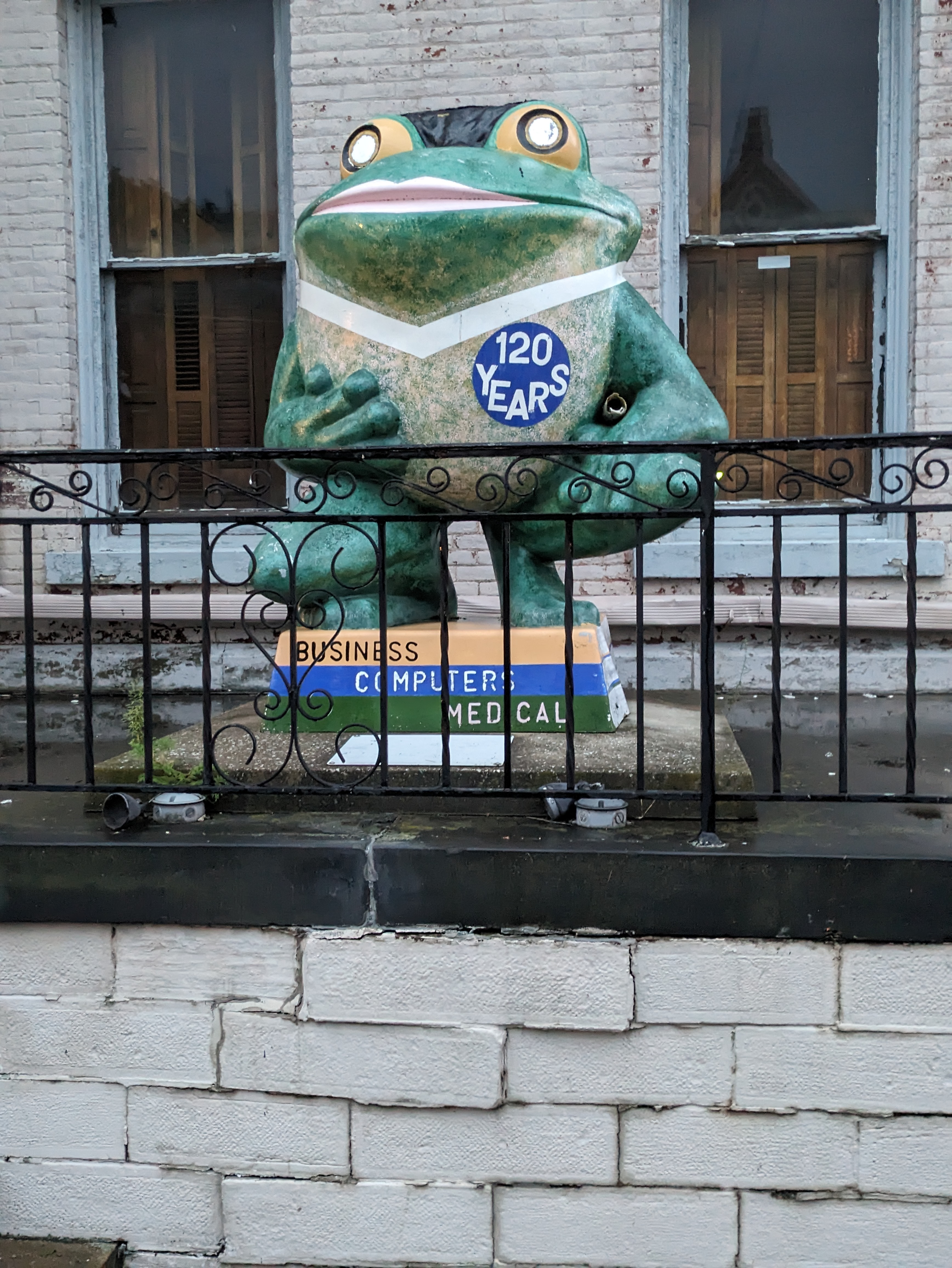
LeapFrog! was a fundraiser in Erie, PA, in 2004. “Experience America” by Cathedral Center Class of 2006 was one of the frogs I found in 2012. I think I found this one in the yard of what is now the Mother Teresa Academy near the corner of Sassafras and W 11th Street. According to Ami H.’s map, this frog moved to Splash Lagoon.
LeapFrog! was a fundraiser in Erie, PA, in 2004. I missed my turn on my way home from Presque Isle in 2022 and stumbled upon “On Golden Pond” by Chuck Benson and Bill Lechner. A few months later, I found Ami H.’s map and list of the frogs, which enabled me to intentionally find frogs on future trips to Erie.

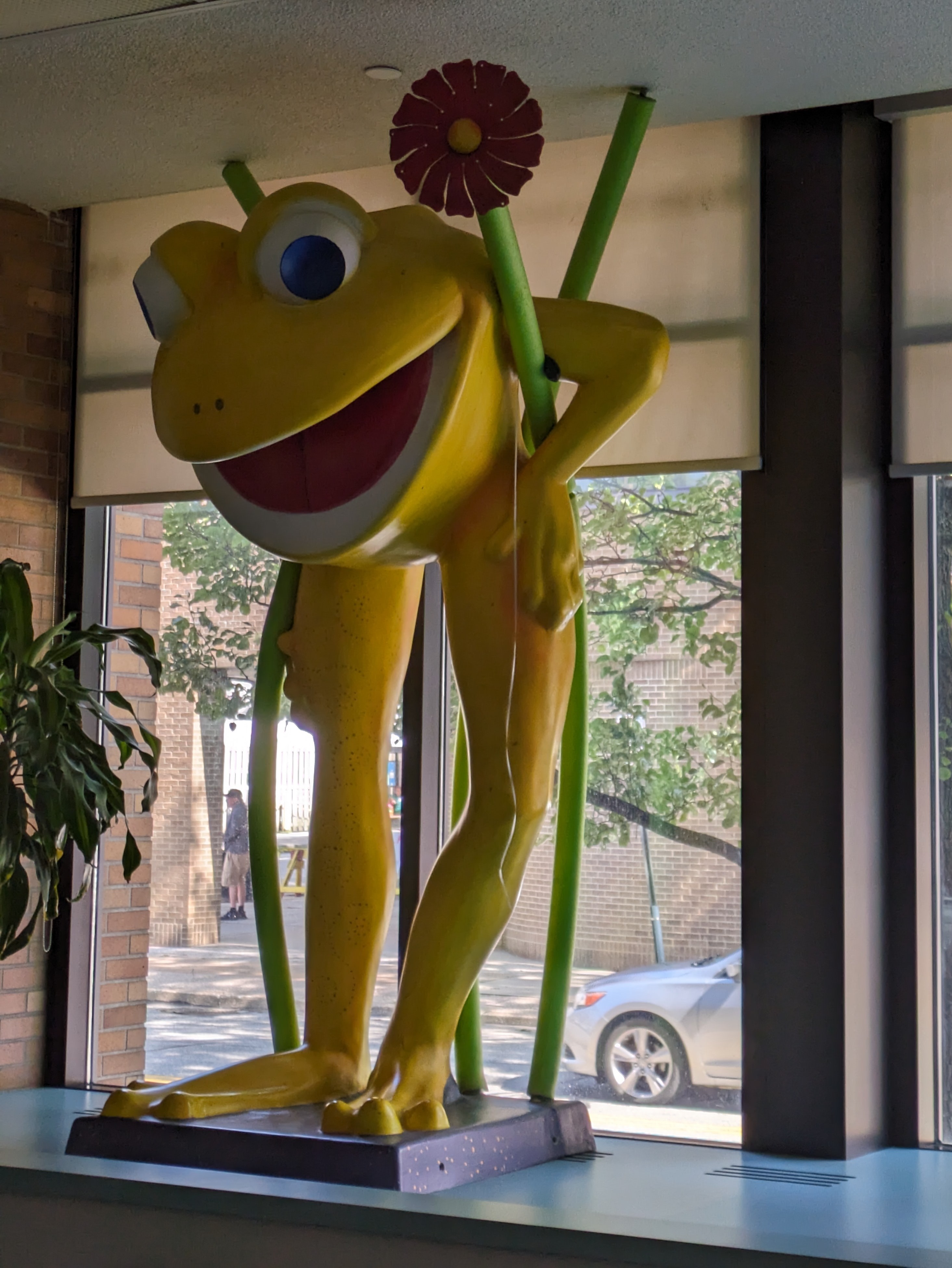
LeapFrog! was a fundraiser in Erie, PA, in 2004. I found the frog above on a trip to Erie in 2012. Like some of Pittsburgh’s dinosaurs, I cannot match it to one of the original frogs in the official book.
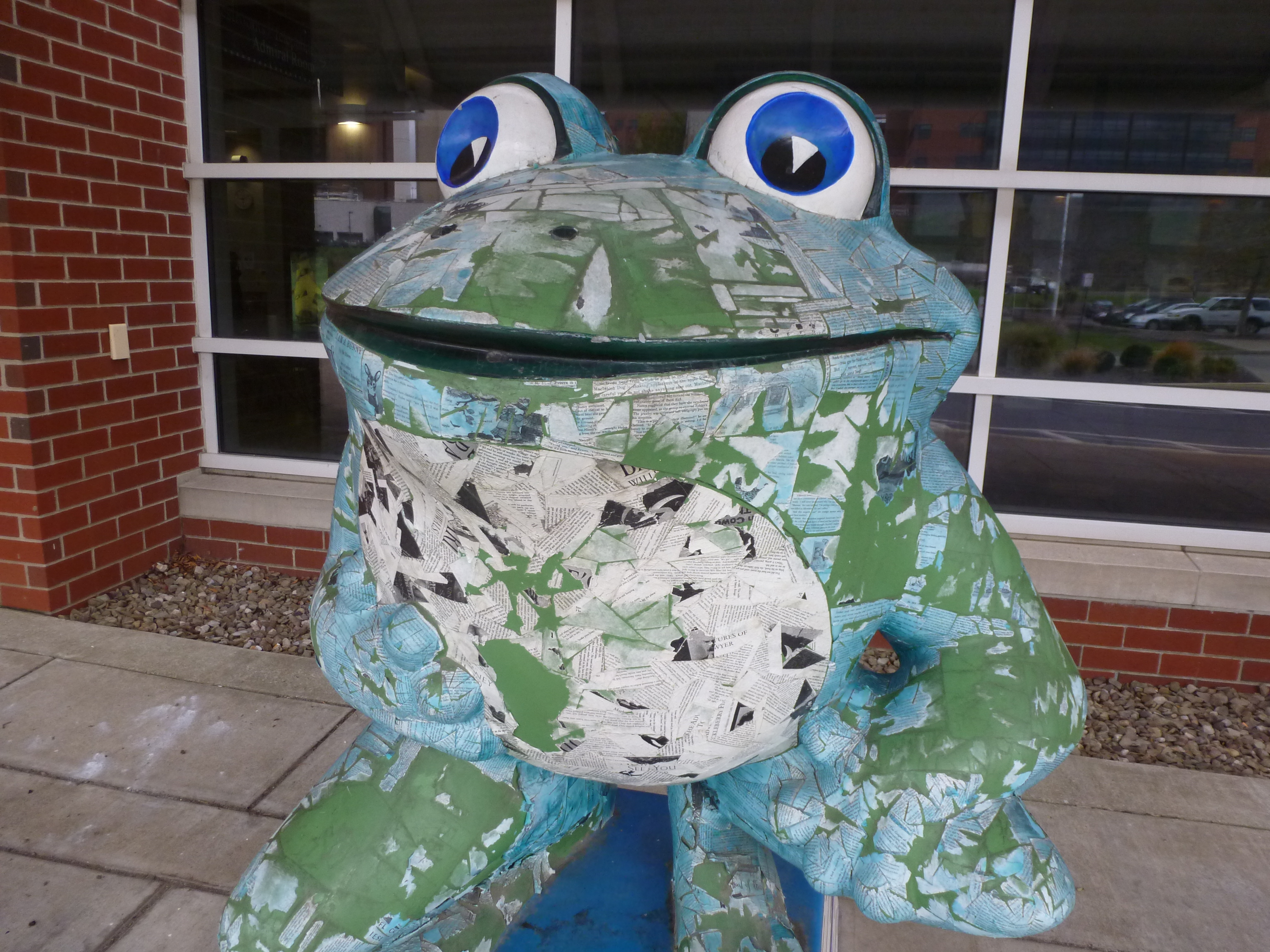
In 2012, I experienced a narrow band of Erie along State Street from downtown to the waterfront. While walking around in this area looking for churches, I found some frogs. At the time, I did not make a note of the locations where I found them.
In 2023, I found that Ami H. maintains a list and map of the locations of the LeapFrog! frogs. I believe the frog that I found in 2012 is the one tagged on Ami’s map at the Children’s Museum. It has been repainted and become “Experience Frog.” (I still can’t find a match for it in the official LeapFrog! book.)
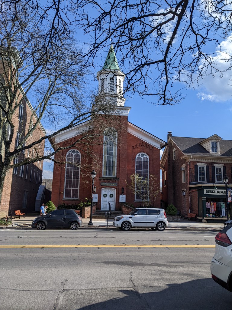
One of the key ingredients for the stability component of “home” is safety. In the aftermath of 9/11, there was a concern about the safety of living in cities and living in New York in particular. The Pennsylvania boroughs of Stroudsburg and East Stroudsburg were among the places considered safe by those leaving New York City. Knowing this going in and comparing it to the lessons learned from Bethlehem, I assumed that the religious buildings would reflect a sense of stability.
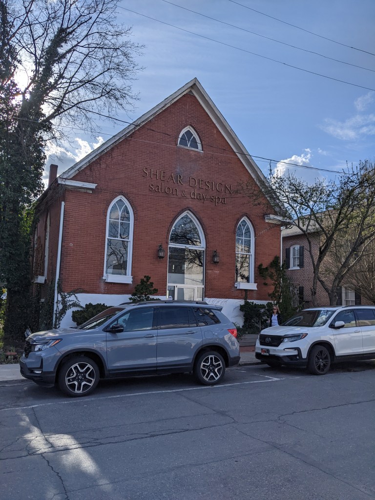
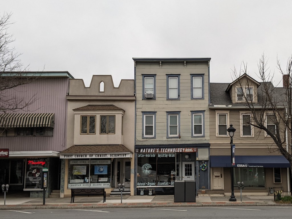
Of the two boroughs, Stroudsburg has a more centralized concentration of religious buildings that was easy for me to explore on foot within the limitations of my post-injury recovery phase. The results of this survey confirmed my hypothesis. Of the seven buildings I found, only one was converted to a secular use. Another one appeared to be having a renovation of it’s primary entrance but was still looked actively used as a church. (Facebook confirmed that it is still active with a video of the Polish language mass from a few days before the date I looked it up.) A third building was a storefront that is a First Church of Christ, Scientist.
Comparing Stroudsburg with other Pennsylvania towns where I’ve explored the status of religious buildings, it fits the pattern well. Stroudsburg’s peak population was in 1950, the same as Pittsburgh and Wilkinsburg. Below is an updated chart of the population loss for these cities and a broad impression of the state of their religious buildings.
| City | Population Loss Since Peak (Peak Year) | Status of Religious Buildings |
| Bethlehem | 1% (1960) | Primarily active sacred uses |
| Erie | 26% (1960) | Primarily active sacred uses |
| Homestead | 85% (1920) | Significant numbers closed or converted to secular uses |
| Pittsburgh | 55% (1950) | Significant numbers closed or converted to secular uses |
| Stroudsburg | 14% (1950) | Primarily active sacred uses |
| Wilkinsburg | 49% (1950) | Significant numbers closed or converted to secular uses |
While exploring Bethlehem’s bridges, my eye was caught by the numerous spires rising above the surrounding buildings of South Bethlehem. Instead of resting upon returning to the hotel, I felt compelled to go back out and take a survey of religious buildings within walking distance. Due to the topography, those on the slopes of South Bethlehem were the easiest to spot, but I also located some in Bethlehem’s historic district and in West Bethlehem. I found twenty-three buildings in all.
As with my experience in Erie, I was surprised that the vast majority of these buildings were still open for use as religious worship. Bethlehem Steel Company was the main employer in Bethlehem for most of the 20th Century. Like steel mills elsewhere in the northeast, its business declined. In the early 2000s, the company went bankrupt. This makes it seem like the town should have experienced the classic rise and decline of other Rust Belt Cities.
One of the typical landmarks of this change is an abundance of vacant or adaptively reused religious buildings. In Pittsburgh, I have found over 50 former churches and synagogues now being used for secular purposes or in the process of being converted to secular purposes. Many more are vacant and boarded. Wilkinsburg, a town adjacent to Pittsburgh, has so many closed churches that its zoning code incorporates guidelines for converting church buildings to secular uses. Homestead, PA, the former home to US Steel and the site of the famous Homestead Steel Strike, has several shuttered churches. Bethlehem’s religious buildings did not fit this pattern.
In searching for an answer to what made Bethlehem different than other steel towns, I realized that the business districts and residential areas I passed through were mostly intact. There were few vacant buildings and no vacant and abandoned grass lots. This suggested that Bethlehem did not experience the same decline as the other former steel towns that I have explored. The historical population data corroborated this hypothesis. Bethlehem and Erie experienced their peak populations in 1960; Pittsburgh and Wilkinsburg in 1950; and Homestead in 1920. In 2010, the cumulative population loss from each city’s peak was:
| City | Population Loss |
| Bethlehem | 1% |
| Erie | 26% |
| Pittsburgh | 55% |
| Wilkinsburg | 49% |
| Homestead | 85% |
The stable population of Bethlehem explains why so many religious institutions are still operating. It doesn’t explain why the people stayed when the jobs left.
I picked up Jeffrey A Parks’s “Stronger than Steel: Forging a Rust Belt Renaissance” to look for clues to what made Bethlehem different from other Rust Belt cities. For the most part, it seems to have pursued the same actions and initiatives as elsewhere. Bethlehem’s leaders even hired consultants from Pittsburgh in the 1950s to learn how to do Urban Renewal. Other similarities include the creation of a redevelopment authority, the use of eminent domain to force people out of their homes for commercial development, the building of a highway through town, and the change of traffic patterns to prioritize the regional over the local.
The one thing mentioned in Parks’s book that was different from other cities was the school district. In the 1960s, the Bethlehem School District expanded to incorporate two rural townships. These townships later became wealthy suburbs that combined with the population of Bethlehem to create a racially and economically diverse district. Parks’s implication seemed to be that the result was a school district with better funding and resources than its neighbors. Perhaps, as a result, families did not have the conversation about moving to the suburbs for better schools as their children approached school age.
A decent inner-city school district may reduce the flight to the suburbs. It also may attract new residents. Yet, I wonder if it is enough to prevent hemorrhaging population loss as a region’s major employer cuts jobs in the decades before it closes.