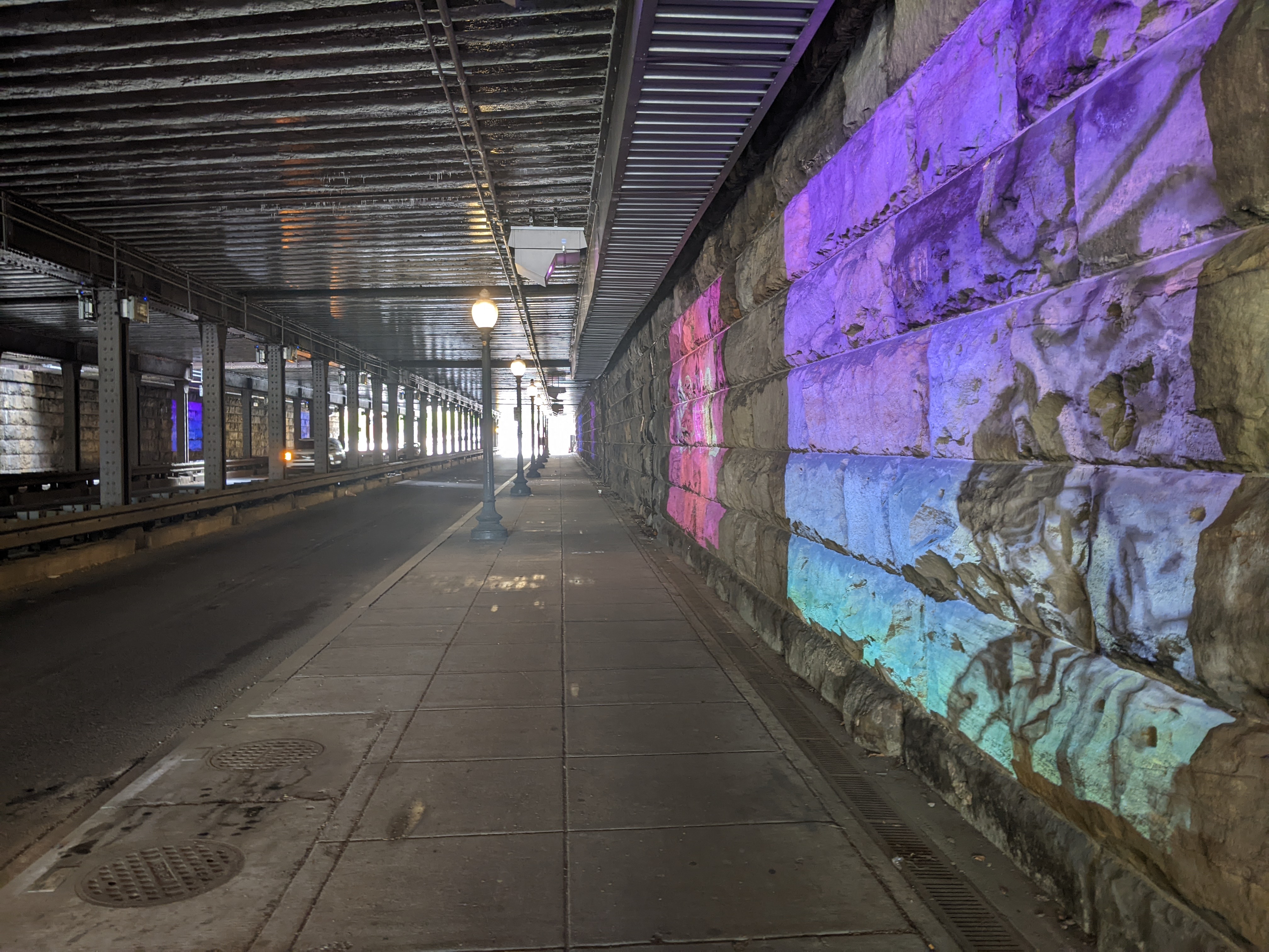
On Day 2 of my April 2025 Washington, DC, trip, I needed to take it easy. However, I couldn’t sit inside all day. On a short excursion near Union Station, I got uncomfortable as I approached the underbelly of the railroad bridge over K Street. My experience of similar structures in Pittsburgh is that they are dark, dirty, untended, and creepy. Bird droppings or bridge droppings are likely to land on you at any point.
The underbelly of this bridge over K Street defied my expectations. A light mural created a welcoming and engaging experience that felt more like Buffalo’s Seneca One murals than the underbelly of Pittsburgh’s railroad bridges. Because light was used instead of paint, it lit up a dark place and incorporated engaging animation:
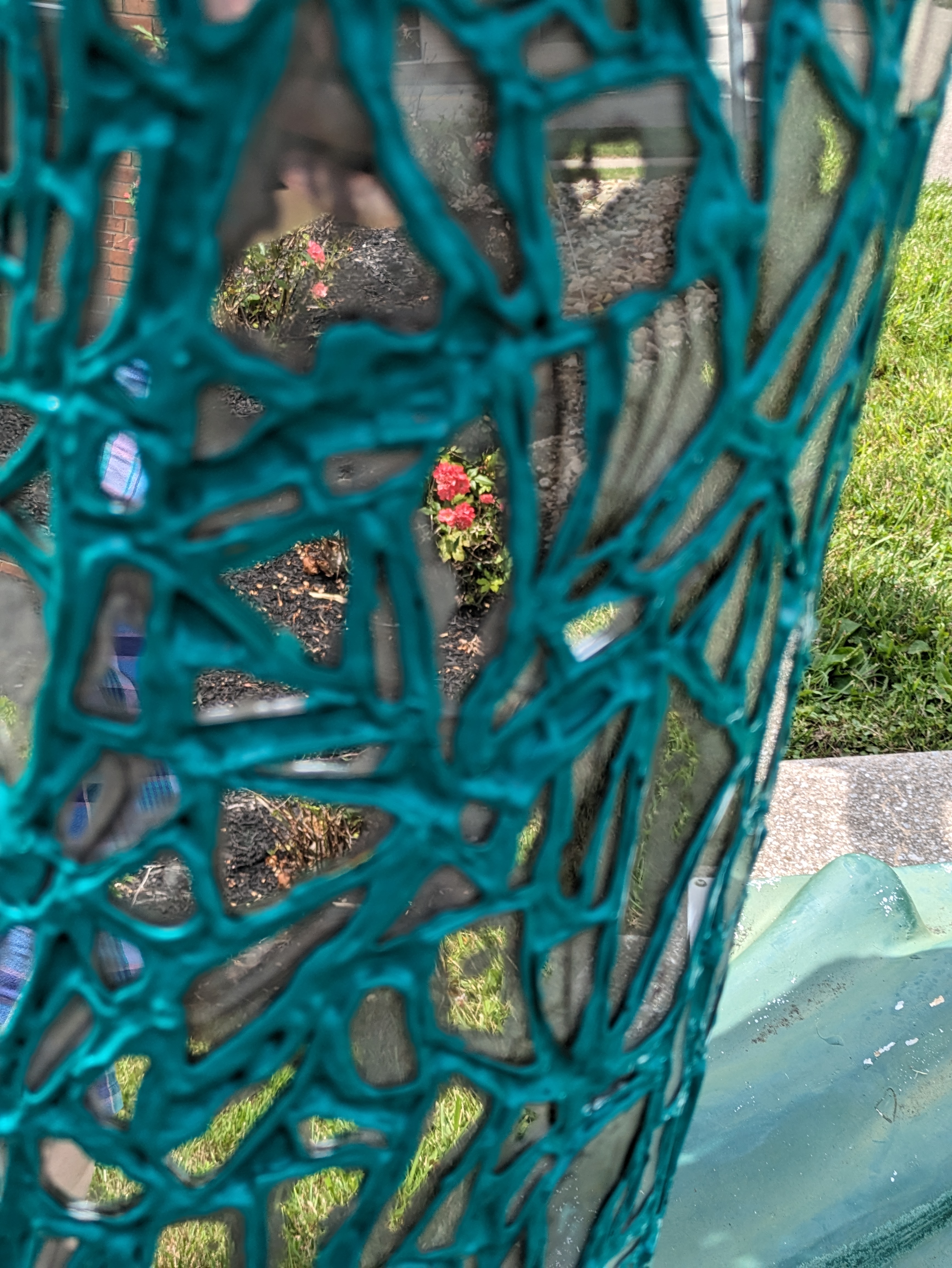
GoFish! was a fundraiser in Erie, PA, in 2001. When we found “Red Wing” by Annoel & Peggy Krider on our 2023 trip, the pattern painted on it had changed slightly from the original. The current version pops more than the photo in the “offishial” GoFish! book. It was easy to spot as soon as we got to the site identified on Amy H.’s map as the current home for this fish.
As FourSquare isn’t available anymore, I have created my own maps for where I encountered Erie’s fish and frogs, plus statues in other cities: https://urbantraipsing.com/public-art-maps/
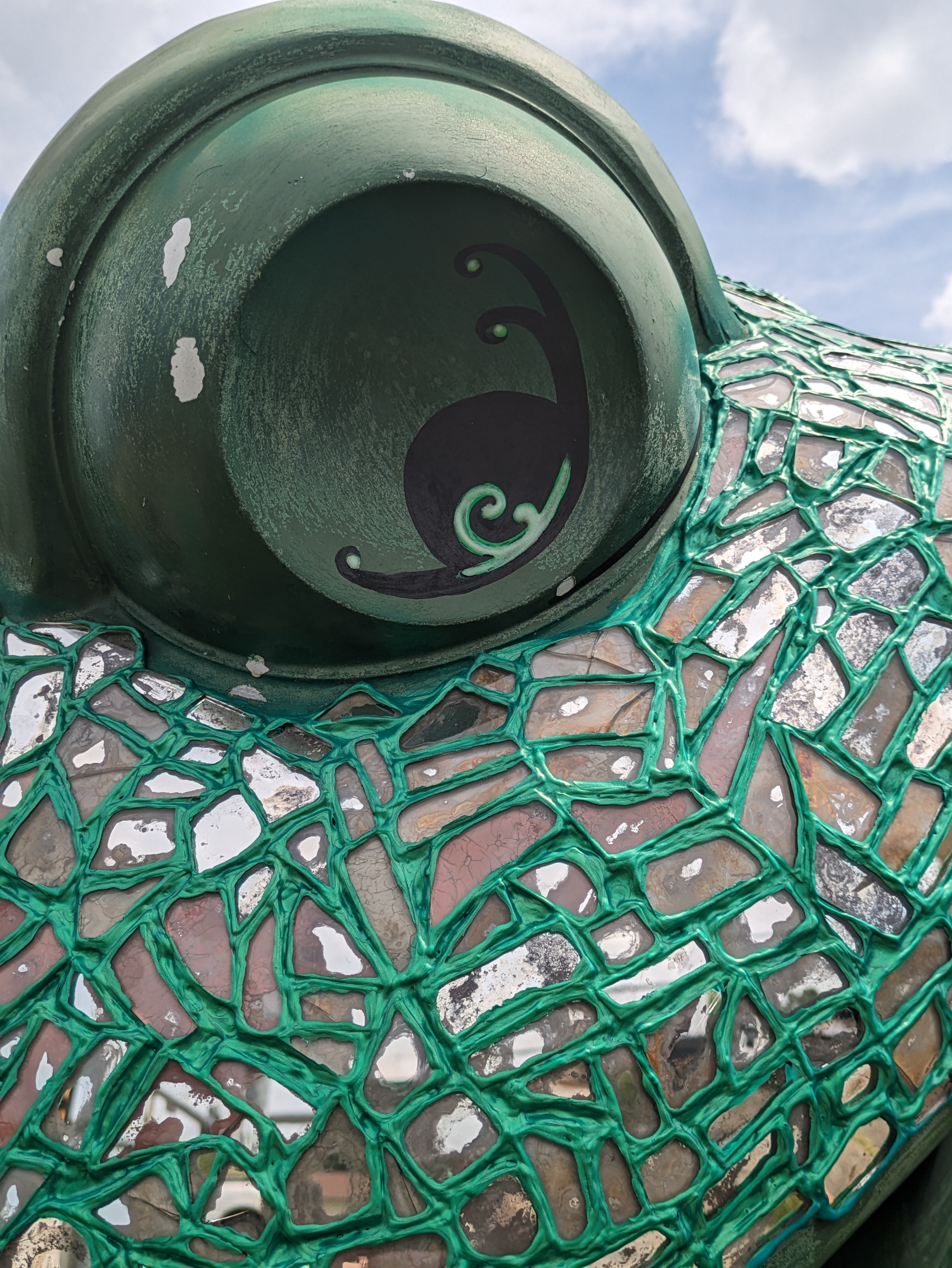
GoFish! was a fundraiser in Erie, PA, in 2001. By the time we found “The Cosmic Fish, Inspired by Frederick Franck” by William J. Doan on our 2023 trip, we had gotten into the habit of asking for help once we got inside the building identified on Amy H.’s FourSquare map. This time we got a surprisingly quick response from the first person we saw: “Oh, yeah, it’s right there.”
As FourSquare isn’t available anymore, I have created my own maps for where I encountered Erie’s fish and frogs, plus statues in other cities: https://urbantraipsing.com/public-art-maps/
For years, even before I started urbantraipsing, I thought nothing of walking from transit stop to transit stop, bridge to bridge, as I explore and encounter the expected and unexpected nooks and crannies of a city. That way of life came crashing to a devastating halt in the fall of 2023 when I developed Long COVID.
Six months passed.
And then a year.
The return to “normal” my doctors promised seemed increasingly unlikely. But a return to functional seemed within reach. The question remained: did urbantraipsing fall within this new functionality?
After a few local test excursions, I felt physically and mentally strong enough to test travel. In April 2025, I took a long-overdue trip to visit my brother in Washington, DC. On this trip, I encountered some great bridges and learned that, much like other activities, with modification and accommodation urbantraipsing is a way of life I can continue.
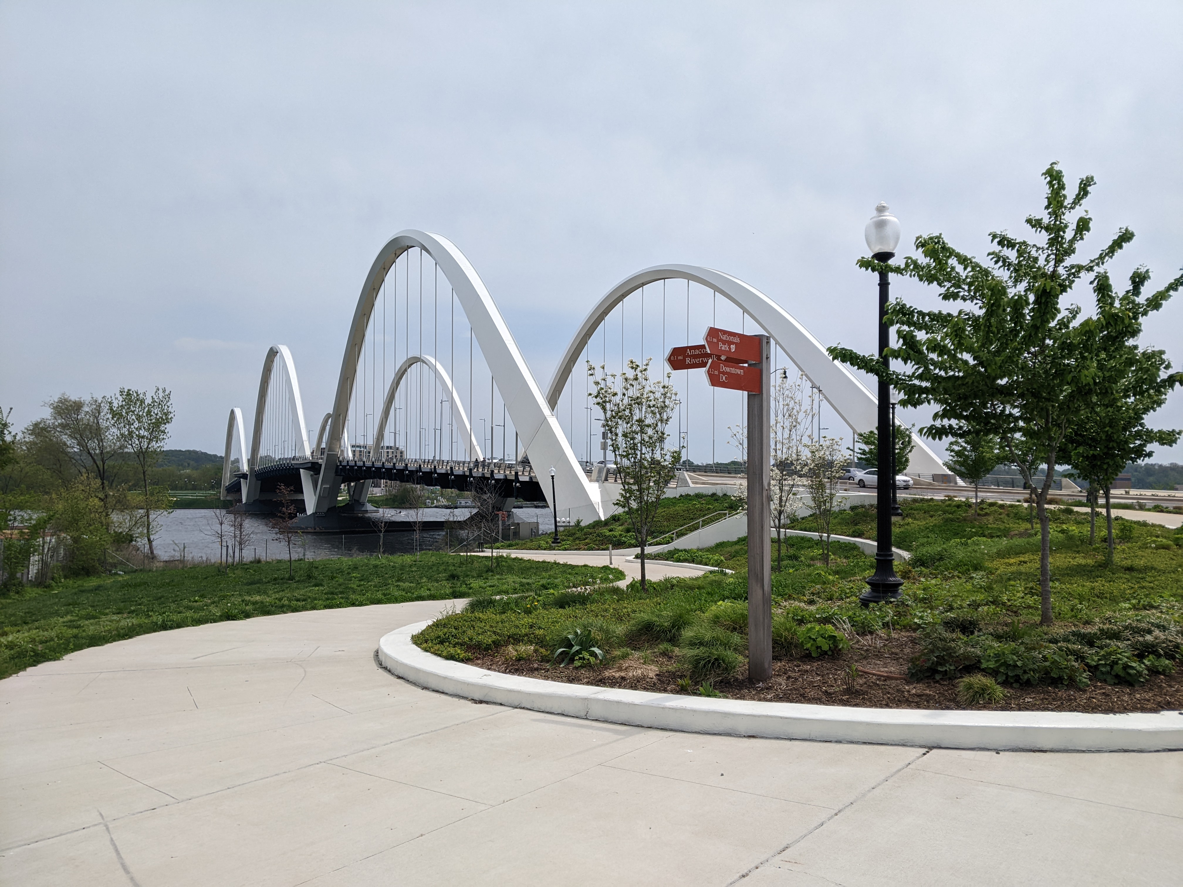
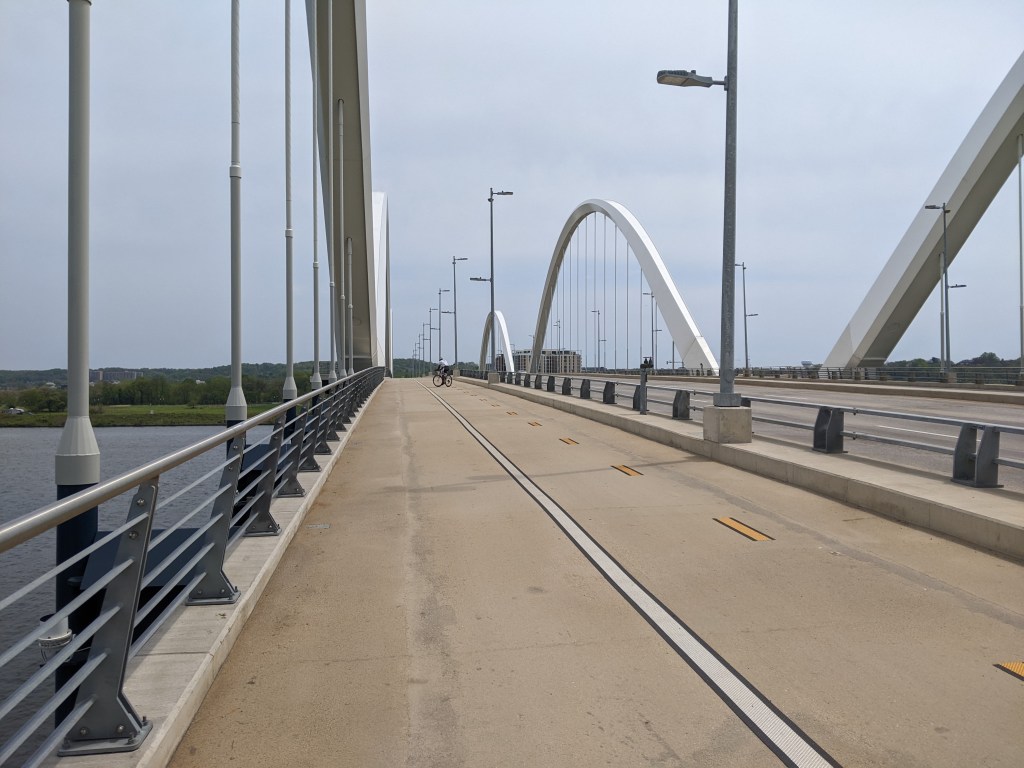
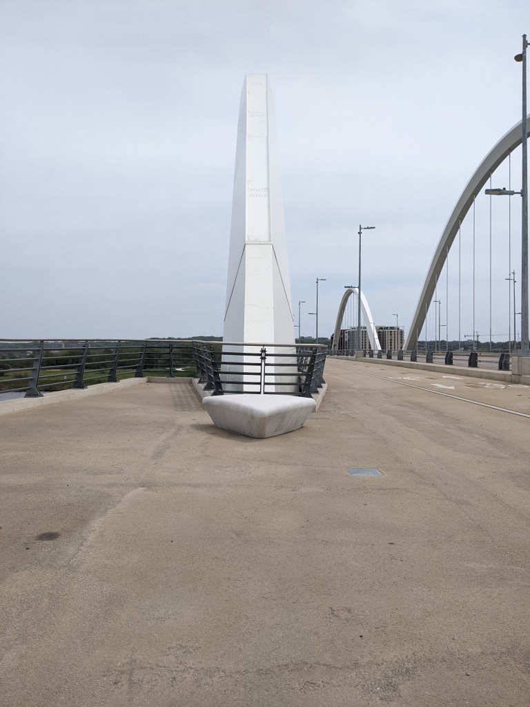
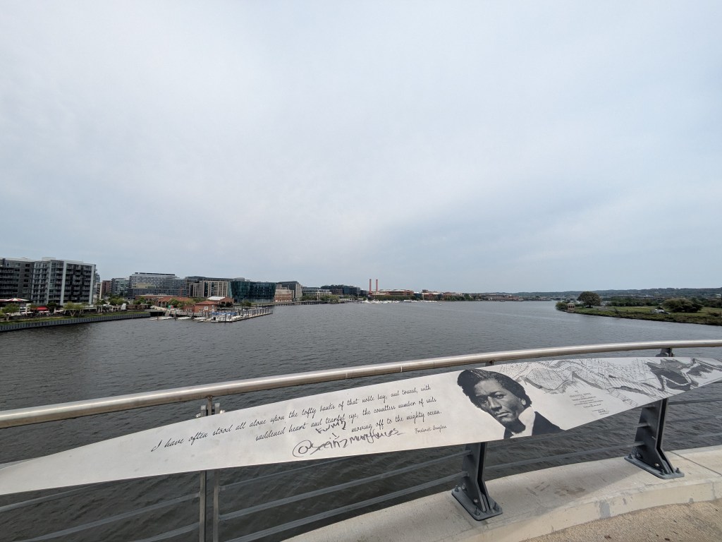
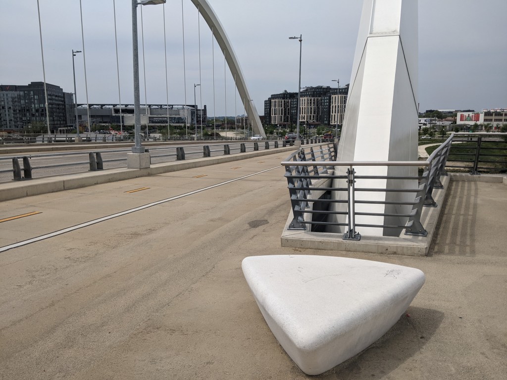
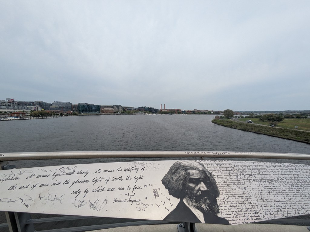
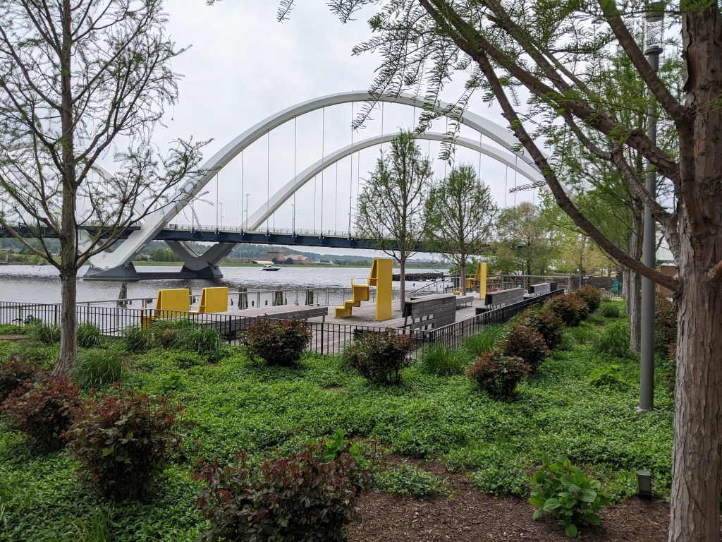
The open, through-arch Frederick Douglass Memorial Bridge was one of our expected encounters. I probably would have been ecstatic about the unexpected benches in the lookouts between the arches under previous circumstances. After all, it isn’t every day that you find a bench on a bridge. However, in the past, I probably would have just said “that’s cool,” photographed them, and moved on. Instead, I took full advantage of these seats for one of my rest and rehydration breaks. This slow down is the reason I spotted the Yard Park Bridge, a bridge I definitely needed to add to my collection.
Perhaps slowing down and being more intentional to accommodate my Long COVID needs will continue to add depth to my urbantraipsing experiences.
GoFish! was a fundraiser in Erie, PA, in 2001. Amy H.’s FourSquare map helped us identify the building where “‘The Teaching Fish’ Minds to Learn, Fins to Serve” by MC Gensheimer now lives (2023), but we had to ask for help multiple times once we were inside before one of the staff showed us where this fish was in the cafeteria.
As FourSquare isn’t available anymore, I have created my own maps for where I encountered Erie’s fish and frogs, plus statues in other cities: https://urbantraipsing.com/public-art-maps/
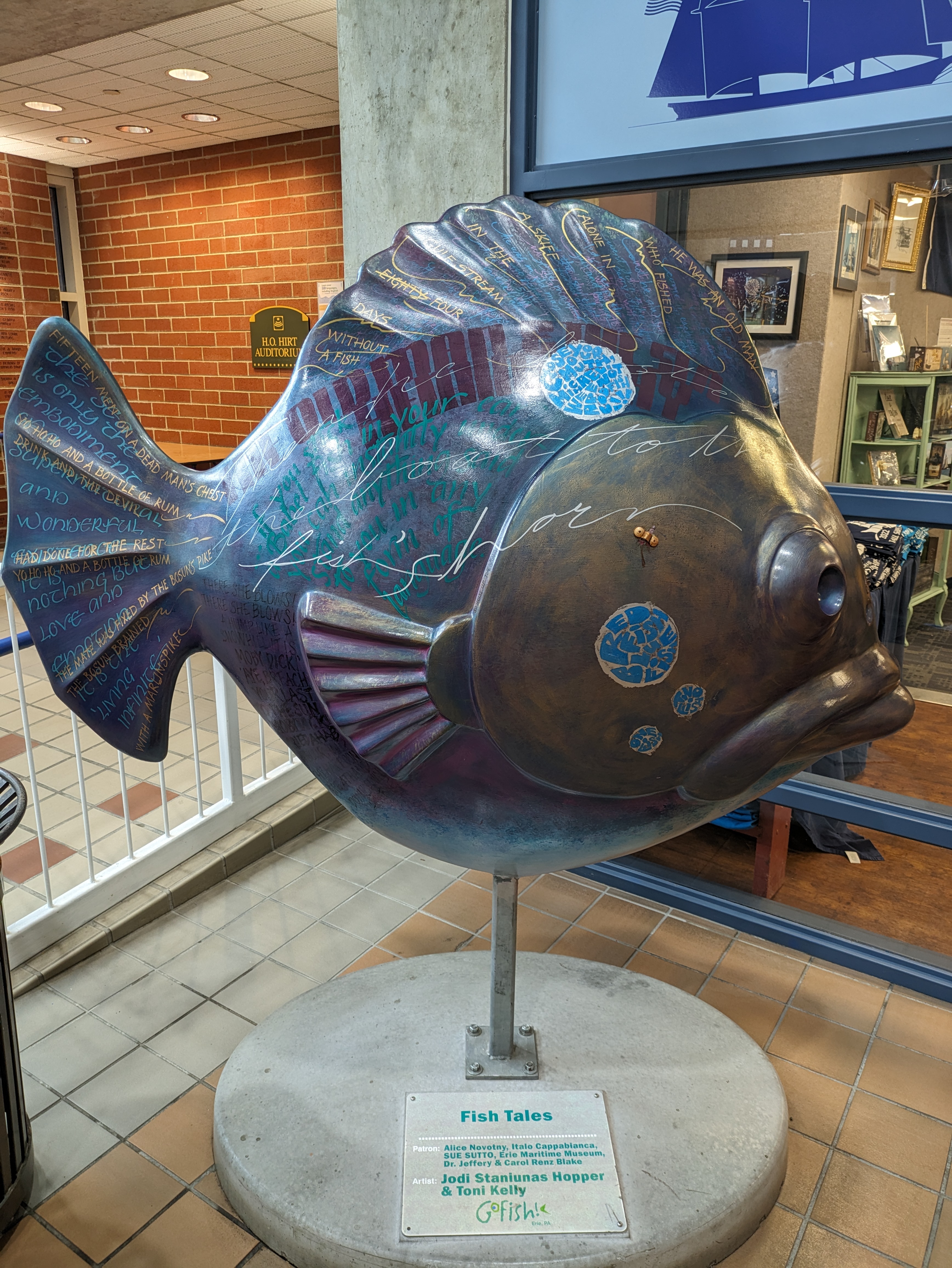
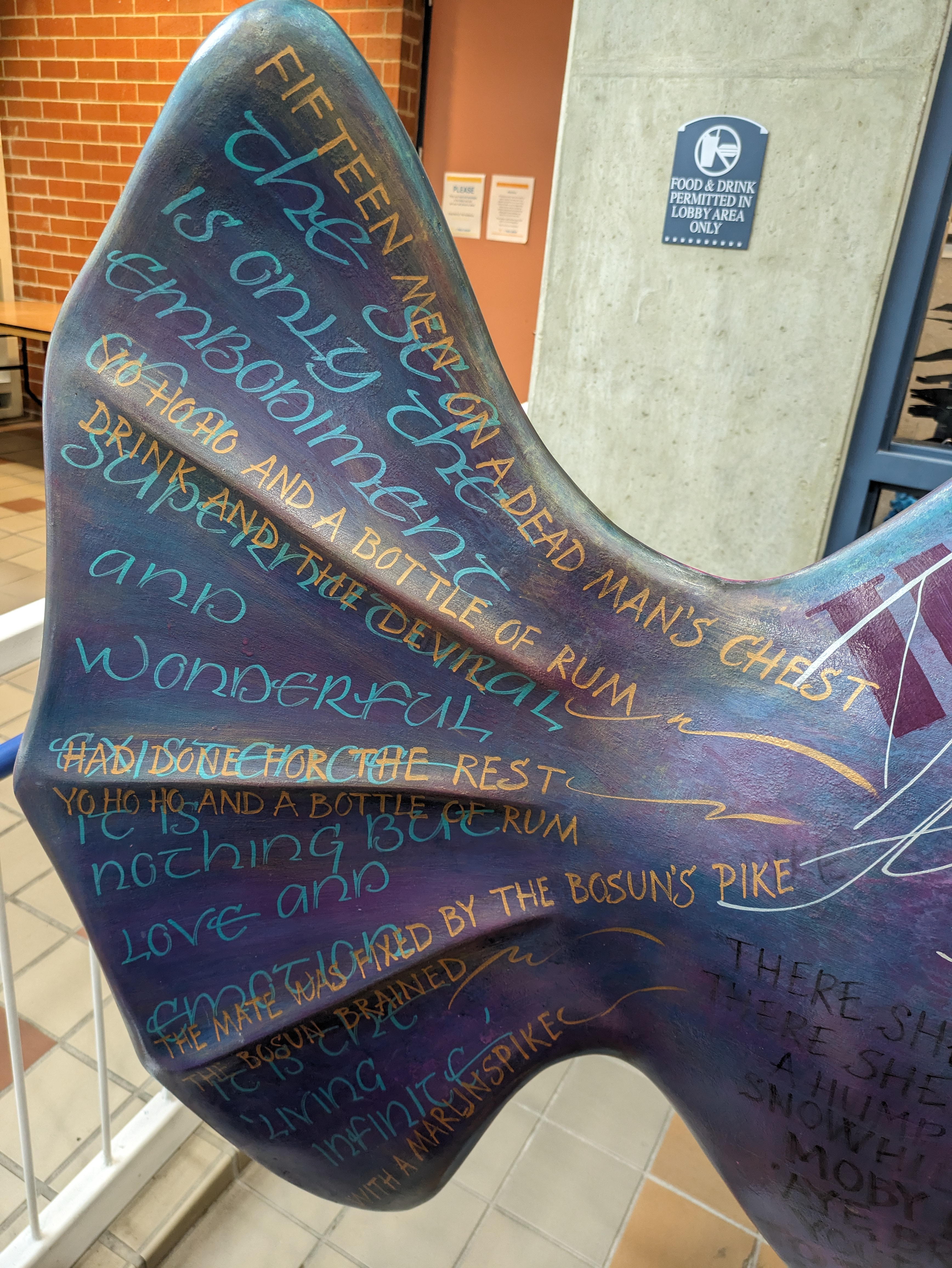
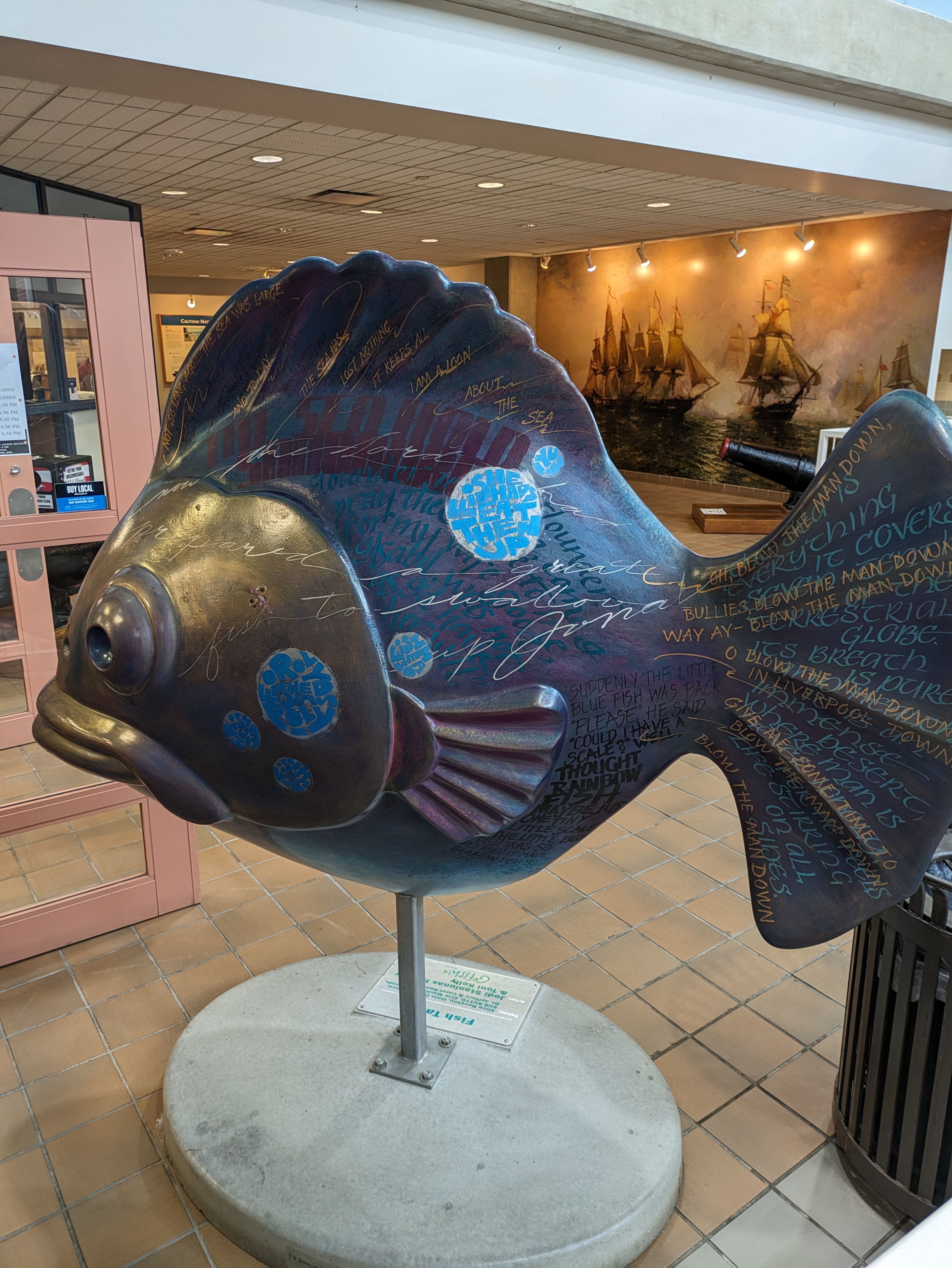
GoFish! was a fundraiser in Erie, PA, in 2001. “Fish Tales” by Jodi Staniunas Hopper & Toni Kelly must have had lasik surgery sometime between 2001 and 2023 as it no longer wears the glasses it had in 2001. Amy H.’s FourSquare map helped us find this one in the lobby of the Erie Maritime Museum, one of the original patrons of the fish. As FourSquare isn’t available anymore, I have created my own maps for where I encounter the fish and other statues: https://urbantraipsing.com/public-art-maps/
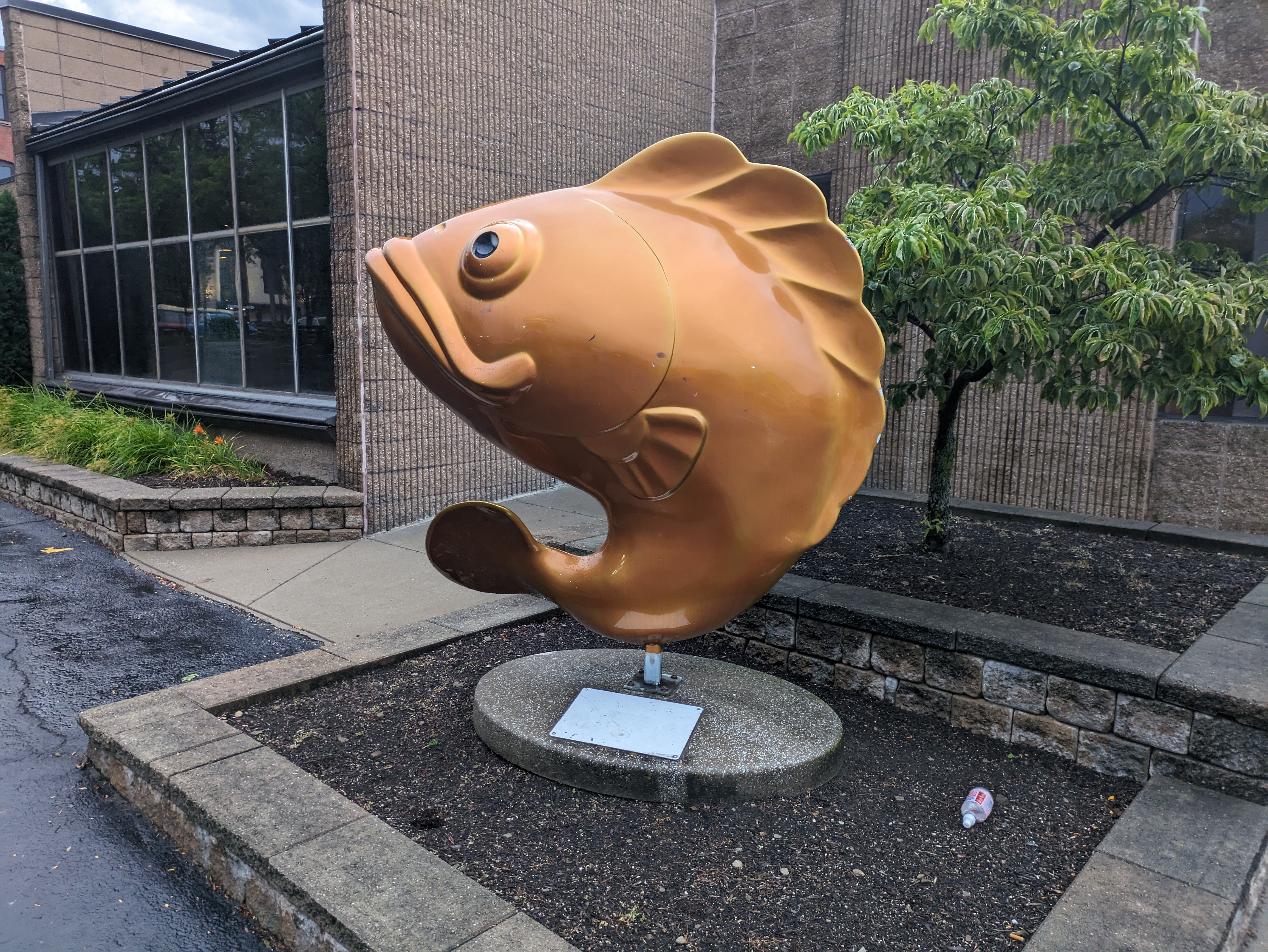
GoFish! was a fundraiser in Erie, PA, in 2001. I can’t find a match for this one in the “offishial” GoFish! book and the plaque underneath is too faded to read after 22 years in the sun and rain. Amy H.’s FourSquare map identified this one as “Goldfish.” Unfortunately, since FourSquare folded, I can no longer access her map. However, I have created my own which you can view on my new Public Art Maps page.
GoFish! was a fundraiser in Erie, PA, in 2001. “Lilly the Lip” by Rick & Susan James was the first of the fish and frogs that Shelly and I took photos of on our trip in 2023 armed with Amy H.’s maps. As it was after sunset, we were carded to enter the bar even though we only wanted a picture of a fish.
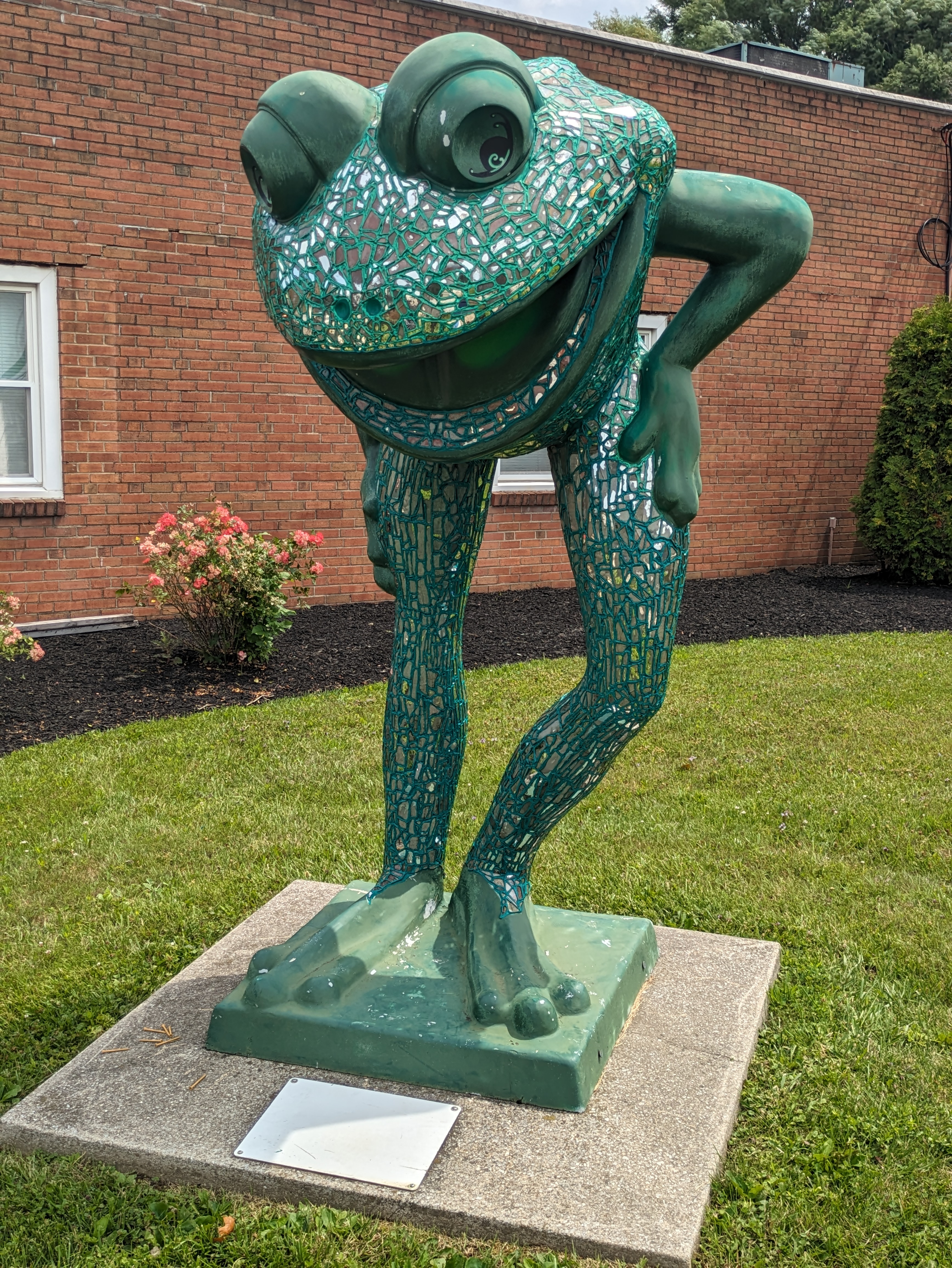
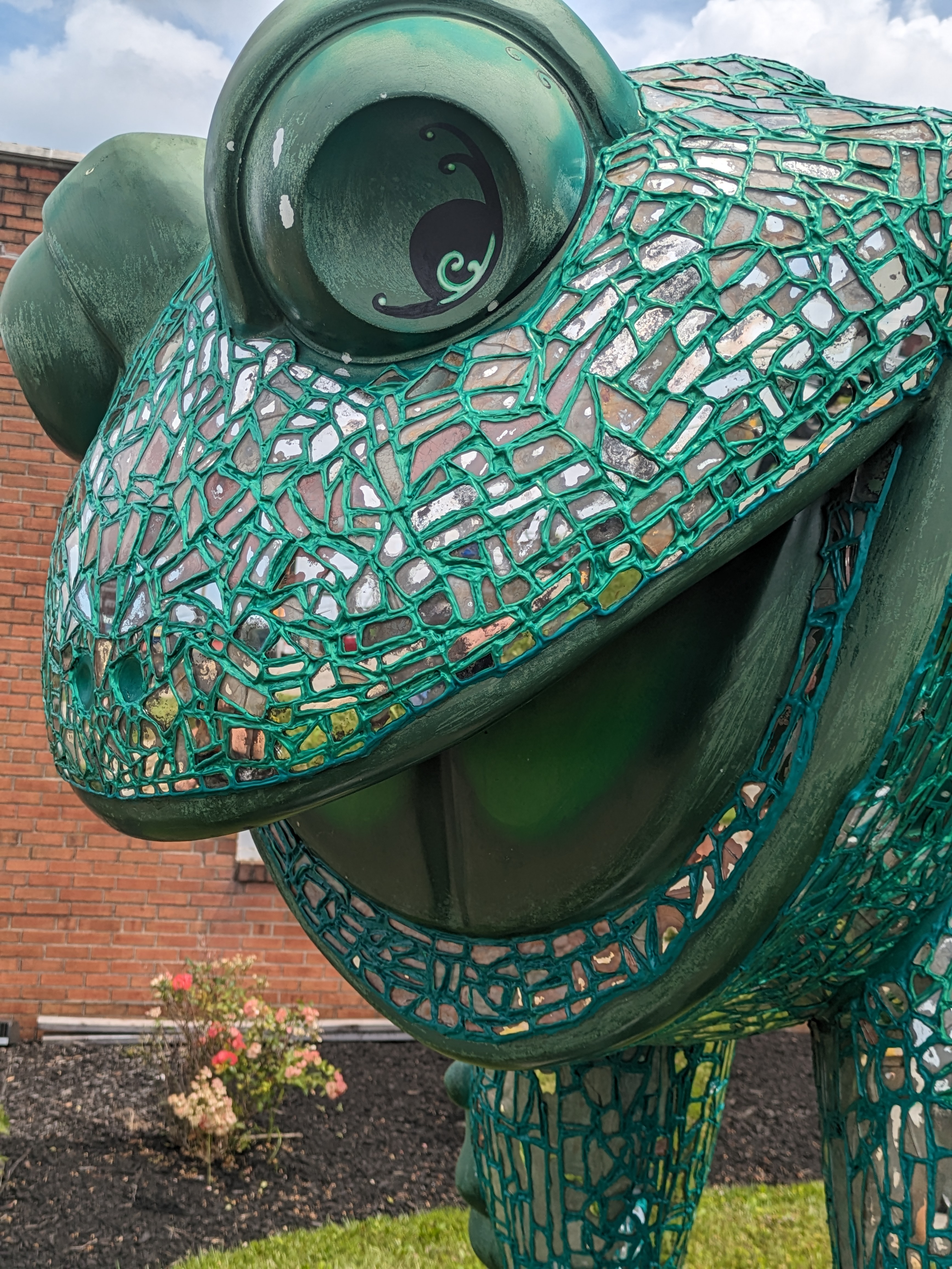
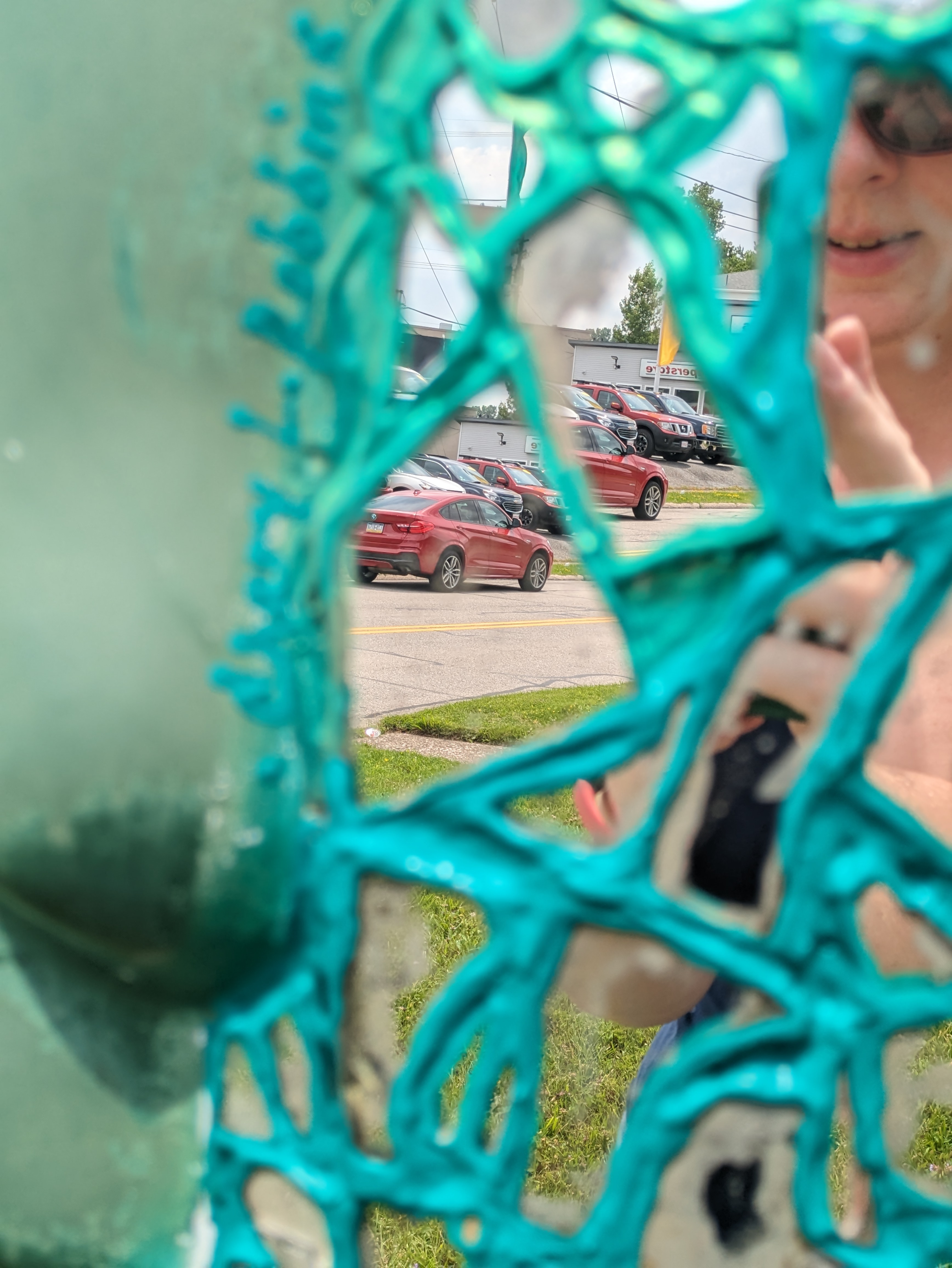
LeapFrog! was a fundraiser in Erie, PA, in 2004. For our final stop in our July 2023 search for frogs, we paused to reflect with “Leap into your Reflection” by Chary L. Robbins. Amy H.’s map was “toadally” helpful in aiding Shelly and I to find 12 more frogs to add to my collection started in 2012 and to revisit 2 frogs from that first trip.
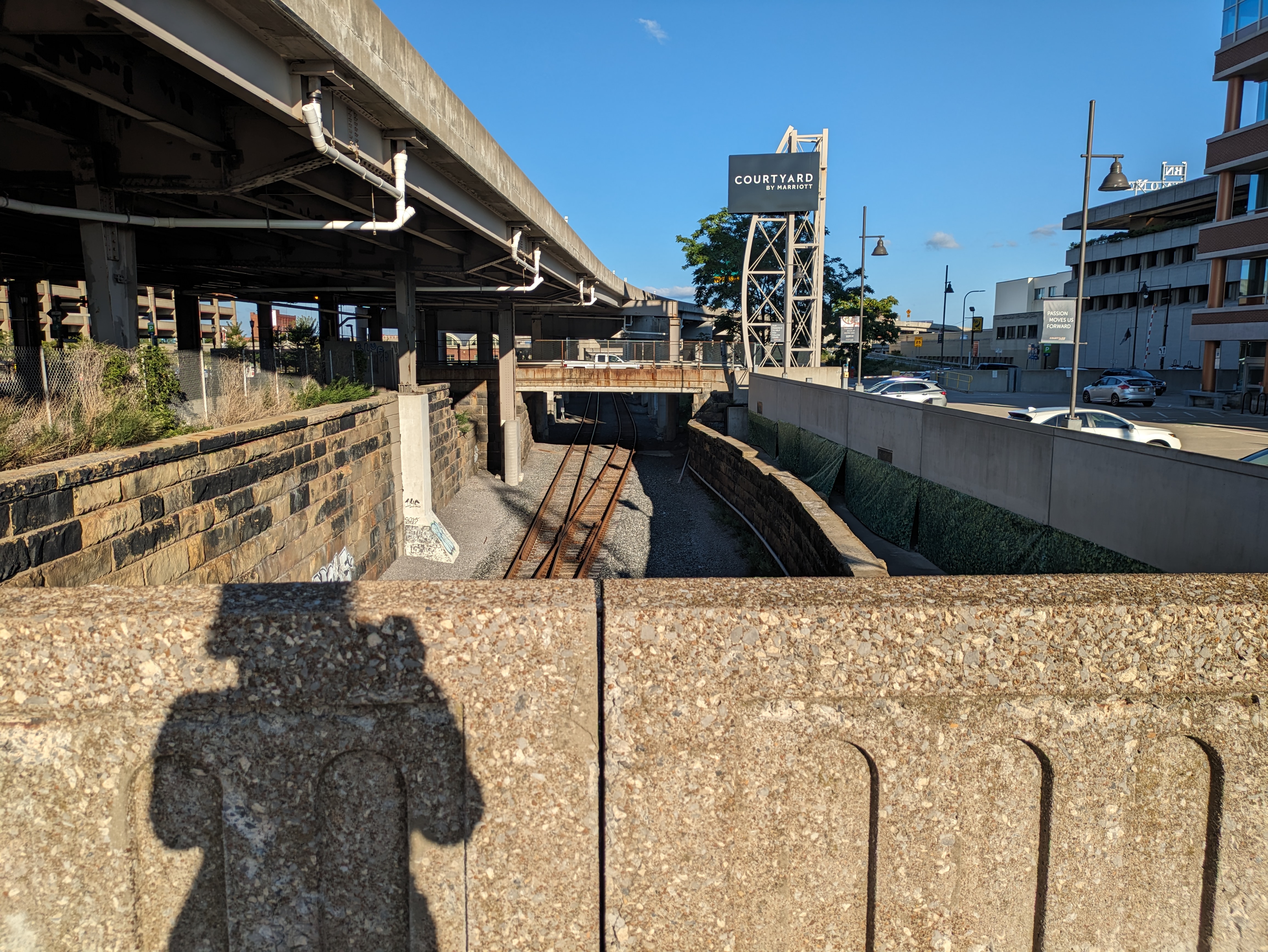
Chicago first drew my attention to how we layer our cities. I wasn’t thinking of this theme when I was in Buffalo, but when I reviewed my photos, this bridge-walking photo caught my eye as another iteration of city layering. Buffalo’s layering is more subtle than Chicago’s, but like Chicago, there are a variety of uses/activities at each level.
Underground
The underground layer in this photo is the railroad tracks, which appear to be the tracks the Amtrak uses as the station is nearby. At a similar elevation and a few blocks to the right, the Erie Canal and Lake Erie are other uses at this layer’s level. Part of the canal has been converted into a paved recreation area with skating rink. At the point where this picture is taken, the light rail system is at street level and immediately behind me, but toward the northern end of downtown, it slips underground. Exploration of other potential underground uses such as tunnels, parking garages, or businesses was beyond the scope of this trip.
Street Level
Again, where this photo was taken, the street level includes pedestrian, vehicular, and light transit activity. Although, when I was passing on a Sunday in the late afternoon approaching dinnertime, there was very little of any activity at this location. I had encountered a fair number of people enjoying the indoor and outdoor amenities at Canalside and once back in the heart of downtown there was some activity at street level. This point along the “barrier” to the waterfront felt a little like a no-man’s land.
Pie in the Sky
In this picture, the upper layer of the city is the overpass (or bridge) for I-190. Just on the other side of the overpass the upper layer changes into the Seneca One office and apartment tower that straddles Main Street and has beautiful street-level murals. Downtown has many skyscrapers and other large buildings that contribute to the upper layer of the city, but the outstanding feature for me of Buffalo’s upper layer is the web of overpasses.