
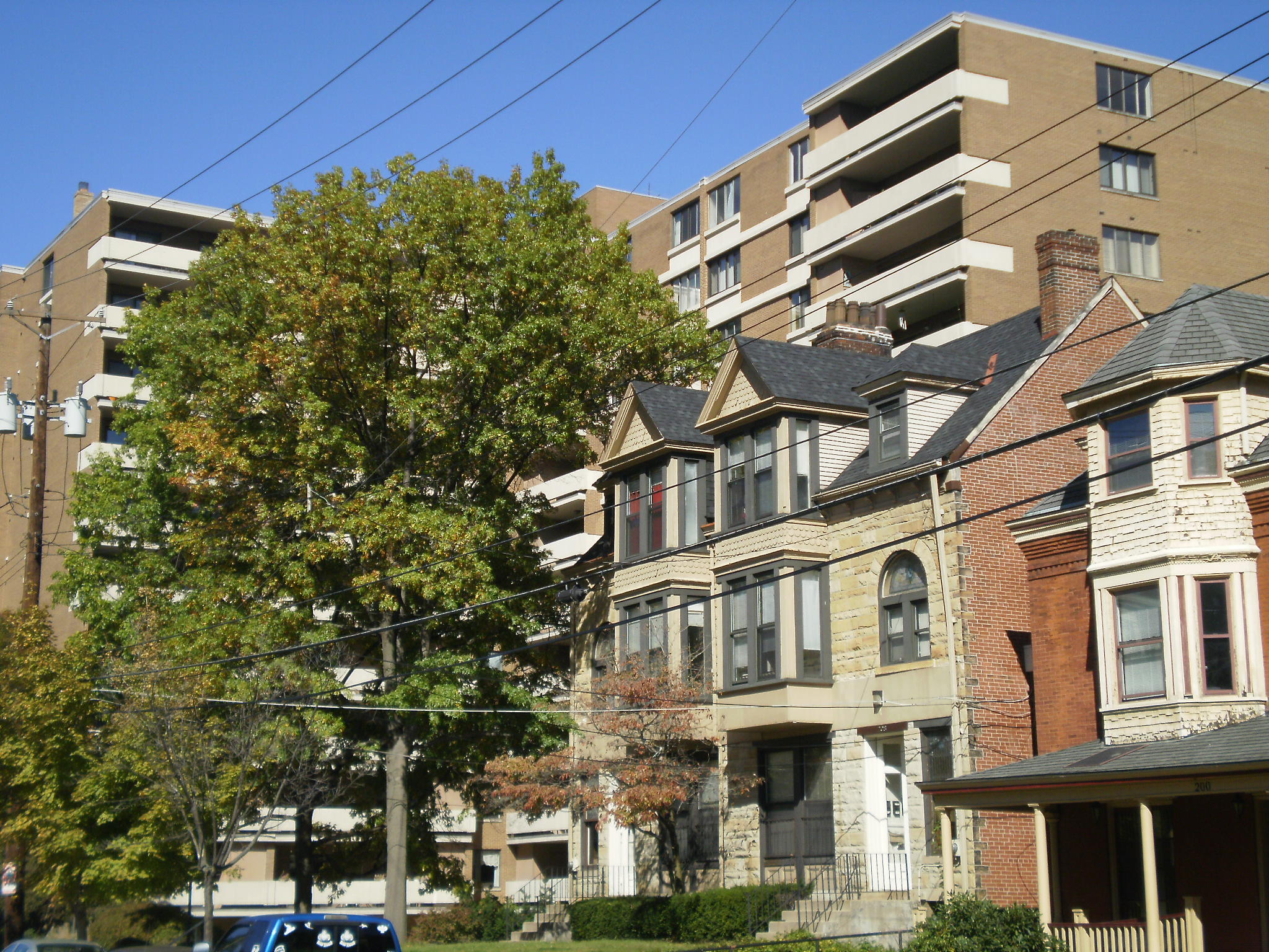
North Oakland Neighborhood
North Oakland in the 1920s is a fascinating place from a land use perspective. While predominately single-family residential at this time, property owners in the southeastern portion of the neighborhood identified that its future was something else. This future vision was one of the existential threats to the city’s first zoning ordinance. That zoning ordinance passed in 1923, in part because the planners promised to study this area more closely immediately after zoning was adopted to identify what zoning districts would be better adapted to this area. The original 1923 zoning map placed the majority of this neighborhood in the 1-2-unit residential district. As a result of the subsequent study, the areas zoned in the commercial district and the areas zoned in the least restrictive residential district expanded significantly.
Then, in 1926, property owners in the west, central part of the neighborhood were about to lose their deed restrictions that prohibited construction of anything other than a detached single-family dwelling and the owner of the one undeveloped property was planning to construct a duplex once the restrictions expired. The remaining property owners feared this would destroy their enclave and petitioned the city to add an exclusively single-family zoning district to its zoning ordinance and apply it to their neighborhood before the deed restrictions expired. The city complied.
Today, according to the city’s zoning map, these early interest groups were correct in the future of the neighborhood. The city’s first exclusively single-family zoning district, remains an exclusive single-family zoning district; while the rest of the neighborhood’s zoning aligns with the future vision of the property owners in the 1920s. It is either in the city’s newest mixed-use district or in the institutional zoning district on behalf of the University of Pittsburgh, Carnegie Mellon University, or the Carnegie Museums of Art and Natural History and Main Carnegie Library.
What’s one the ground currently tells a more mixed story. Many of the homes that existed in the 1920s have been replaced by institutional buildings or large apartment buildings, yet many still remain. Without concentrated efforts, such as Urban Renewal, it is not easy to completely change the character of a neighborhood even after 100 years. A very small portion of North Oakland did see an Urban Renewal project that relocated 78 families and 13 businesses for an expansion of the University of Pittsburgh. The rest of the changes to the neighborhood have been accomplished property by property.
Despite the fact that the religious sites from the 1926 directory are all located in the areas of the neighborhood that have experienced the most change, they remain largely stable. One was demolished, but that congregation moved to one of the remaining buildings. The remainder continue to operate as religious centers and mostly as the same religious institution as in 1926.
Neighborhood Statistics (Out of the 70 in this Series)
- 31st largest by acreage
- 31st highest number of religious sites (multi-way tie)
- 30th most sites/acre
Locations
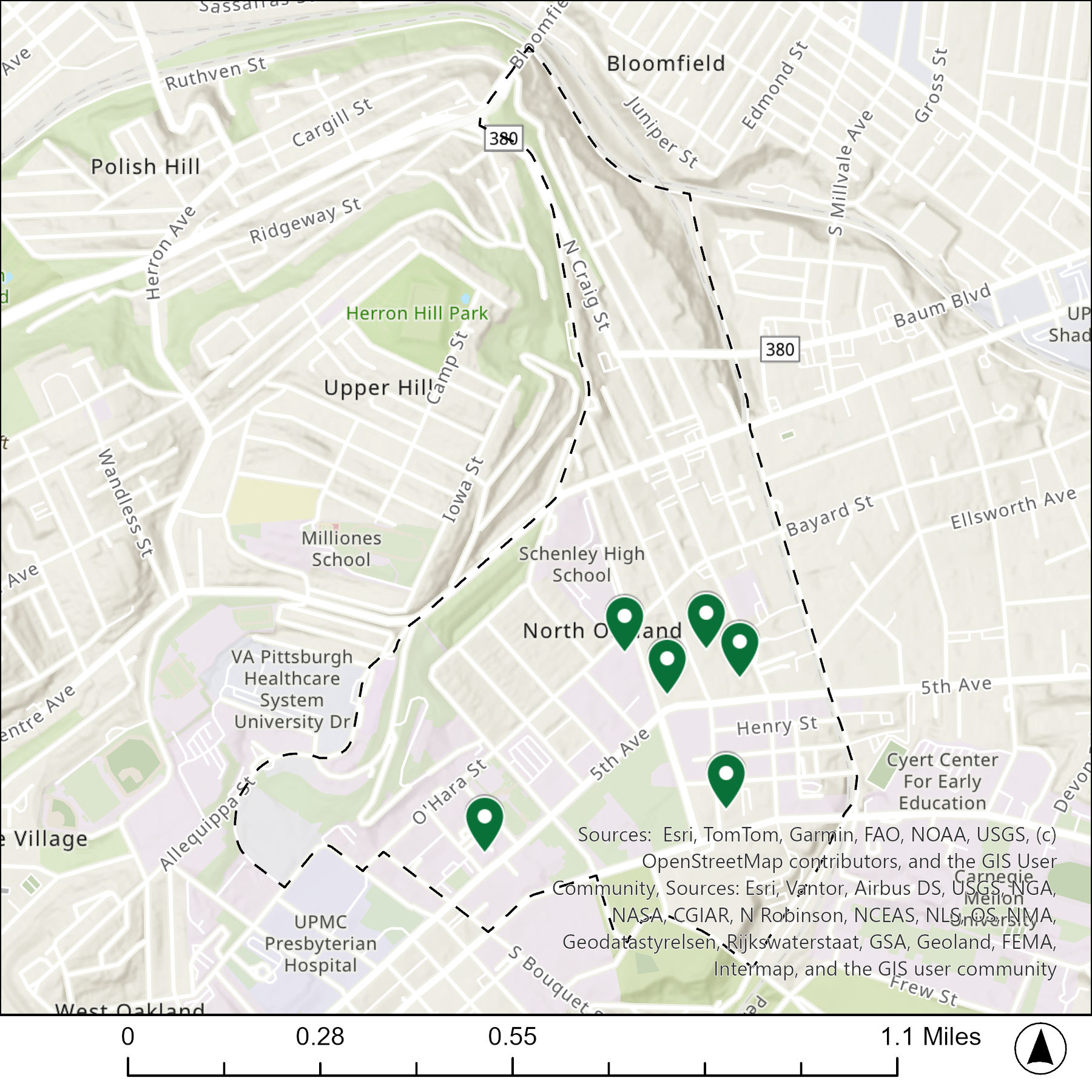
The map below shows the locations of the 6 congregations listed in the 1926 directory for North Oakland (the dotted line marks the neighborhood boundary).
What are they now?
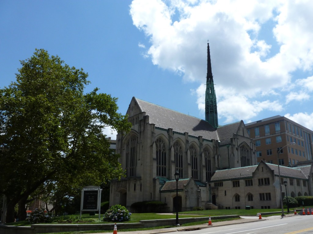
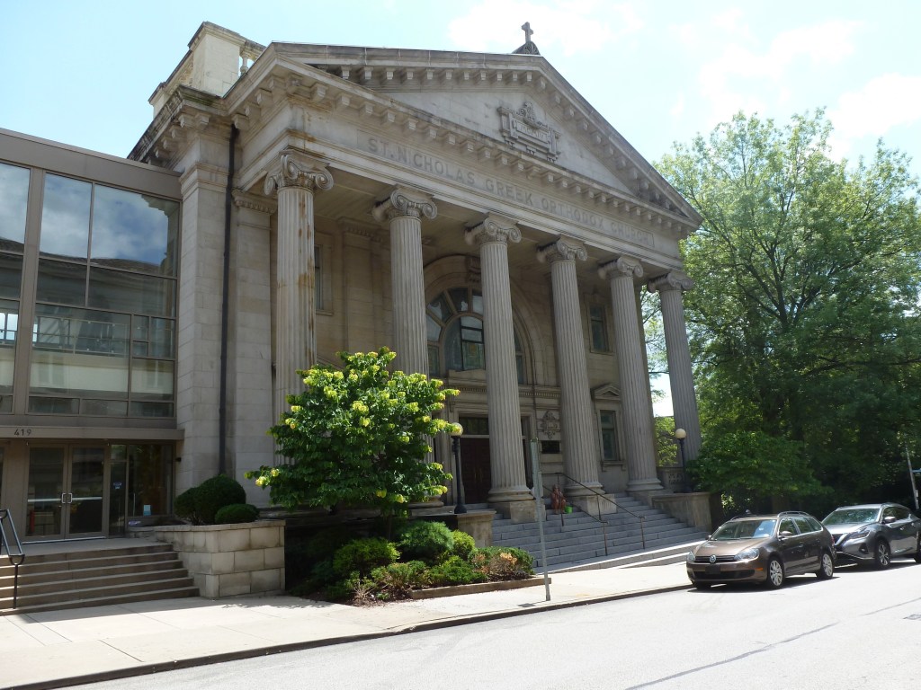
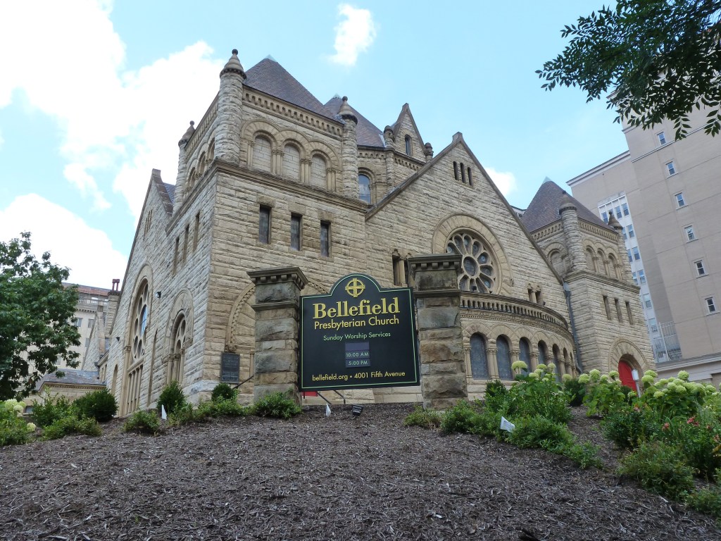
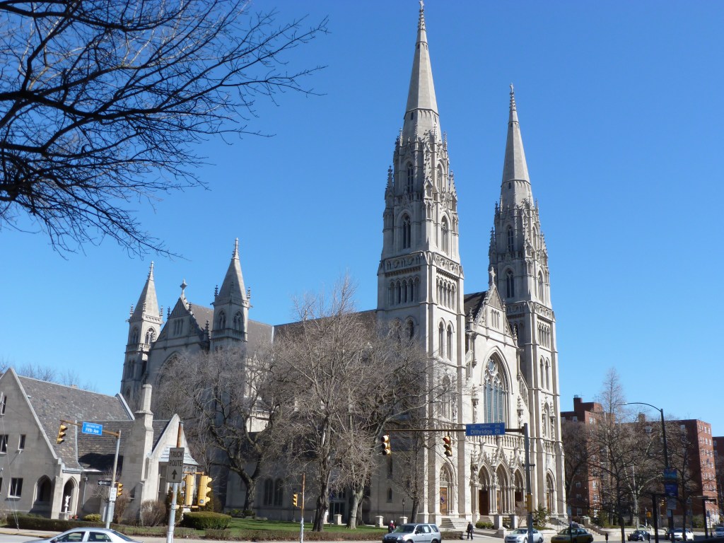
The table below matches the 6 congregations listed in the 1926 directory with the current use of the site.
| 1926 Congregation Name | By 2026 the Congregation’s Building is: |
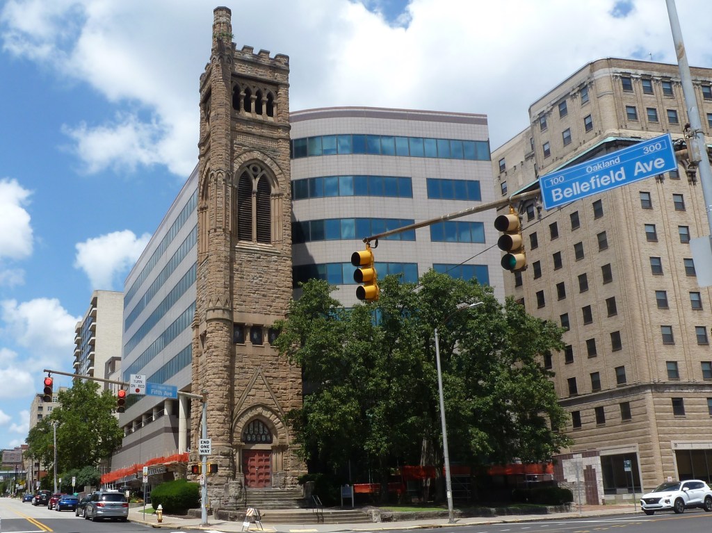
| Bellefield Presbyterian Church | partially demolished, replaced with commercial building |
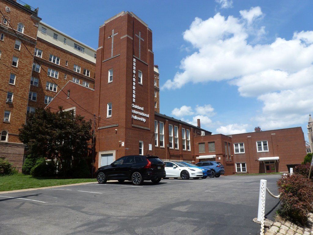
| Central Christian Church | changed to a different religious institution |
| First Baptist Church | still First Baptist Church |
| First United Presbyterian Church | changed to a different religious institution |
| St. Nicholas Greek Orthodox Church | still St. Nicholas Greek Orthodox Church |
| St. Paul’s Catholic Cathedral | still St. Paul’s Catholic Cathedral |
Photos
For more on this series, visit our introductory post.
Sources:
“Appropriate Money for Mt. Washington Highway Project; Council Finally Passes Ordinances.” The Pittsburgh Gazette Times. September 21, 1926. https://www.newspapers.com/image/86466920/
“Civic Center Opposed to Sections of Zoning Bill; Commission Member Admits Special Situation. Flinn Asks Three Changes.” The Pittsburgh Post. July 24, 1923. https://www.newspapers.com/image/87626223/
Department of City Planning. “City of Pittsburgh Zone Map.” The Pittsburgh Post. August 17, 1923. https://www.newspapers.com/image/87647297/
“Final Public Hearing Held on Proposed Zone Measure; Many Indorse Principal, But Oppose Height Limit; Goes to Plan Commission.” The Pittsburgh Post. April 27, 1923. https://www.newspapers.com/image/88183510/
“Land Requests City to Change Pumping Power to Electricity.” The Pittsburgh Post. September 21, 1926. https://www.newspapers.com/image/86674631/
Polk’s Pittsburgh City Directory, 1926. Pittsburgh: R. L. Polk & Co. https://digital.library.pitt.edu/islandora/object/pitt%3A31735056286846/viewer#page/4/mode/1up
“Realtors Move Attacked in Zoning Fight; Board’s Attitude Called Insincere in Letter to Council. Motives Assailed.” The Pittsburgh Gazette Times. May 25, 1923. https://www.newspapers.com/image/85857316/
“Schenley Farms Now Restricted.” The Pittsburgh Press. September 17, 1926. https://www.newspapers.com/image/144507106/
“Trade Board Asks Delay of Zone Bill Passage.” The Pittsburgh Gazette Times. April 11, 1923. https://www.newspapers.com/image/85872282/
“Zoning Plan Opponents Renew Attack on Legality; Majority of Speakers Favor Plan, Minus Height Limit. Council Hears More Protests.” The Pittsburgh Post. March 2, 1923. https://www.newspapers.com/image/86504173/

