

The Bloomfield Bridge towers over much of the surrounding areas thanks to the unique geography of Pittsburgh. As I discussed in Pedestrian Bridges: Bigelow Boulevard, the Bloomfield Bridge is an a location that could lend itself to higher pedestrian traffic than some of the bridges I’ve walked because of its close proximity to a grocery store and a drug store on one side and residences on the other. However, the accessibility for the residents is limited and not inviting. Car traffic on the bridge and on Bigelow Blvd tend to have higher speeds, particularly as Bigelow Blvd is used like an expressway to get from one part of town to another.
Despite the issues of limited accessibility and the non-pedestrian friendliness of the bridge, it was worth the walk across for the various views of the city available from this bridge. As I mention in my introductory post about my plan to walk Pittsburgh’s bridges, what I was already enjoying about the project was the various views of the city from the beautiful to the industrial and developing a greater awareness and appreciation for the varied geography of the city. The Bloomfield Bridge covers both of these ideas.

I refer to the Bloomfield Bridge in the introductory post linked above because of the “underbelly”-like view it still provides of Pittsburgh. While much of the city is being shined and cleaned up–such as downtown and East Liberty–there are still places of what I like to call the nitty-gritty of Pittsburgh. The Bloomfield Bridge shows one of these areas along the busway. I’m not sure how all the buildings lined up in the picture above are used, but I believe at least some are junk yards for cars. I believe the smoke stack in the distance at the end of the line buildings is for the former Iron City Brewery site, which I will talk about more in the post on the Polish Hill bridges.

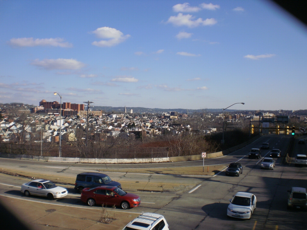
This view off of the other side of the bridge helps illustrate the extreme changes in geography around the Bloomfield Bridge from the rise on which West Penn Hospital sits (this photo) to the gully where the busway runs (photo above). I think that the Bloomfield Bridge may offer one of the most open views in the city. Like the view from the pedestrian bridge across Bigelow, the view east from the Bloomfield Bridge stretches past Bloomfield to East Liberty, Shadyside and beyond.

The view west of the bridge also reaches far: beyond the busway out over the rooftops of the warehouses and factories of The Strip District to the 31st Street Bridge (see post), the Herr’s Island development (see post) and the hills beyond. There are not many places in Pittsburgh where the view stretches so far in multiple directions.

Part of the neighborhood of Bloomfield continues west of the Bloomfield Bridge. Just a few blocks from the bridge is Woolslair Elementary School behind which is the Choir Loft Condominiums (formerly a German Evangelical Church). I pointed out this church in my 31st Street Bridge post. I explained in my first post about this blog that my current themes in walking are bridges and the adaptive reuse of churches. This summer I focused mostly on the bridges as I set myself the goal of walking as many of Pittsburgh bridges as I could. This fall I plan to shift the focus more toward the adaptive reuse of churches, though I will still continue to walk bridges as well. Once I shift my emphasis, the Choir Loft Condominiums will be among the first adapted churches in Pittsburgh I will discuss.
Discover more from urbantraipsing
Subscribe to get the latest posts sent to your email.

Pingback: Pittsburgh Bridges | urbantraipsing
Pingback: Busway Bridges: Herron Street | urbantraipsing
There used to be a bread factory near the side of the bridge that ends on Main St. The whole area continually smelled like donuts.
Pingback: A Lofty Location | urbantraipsing