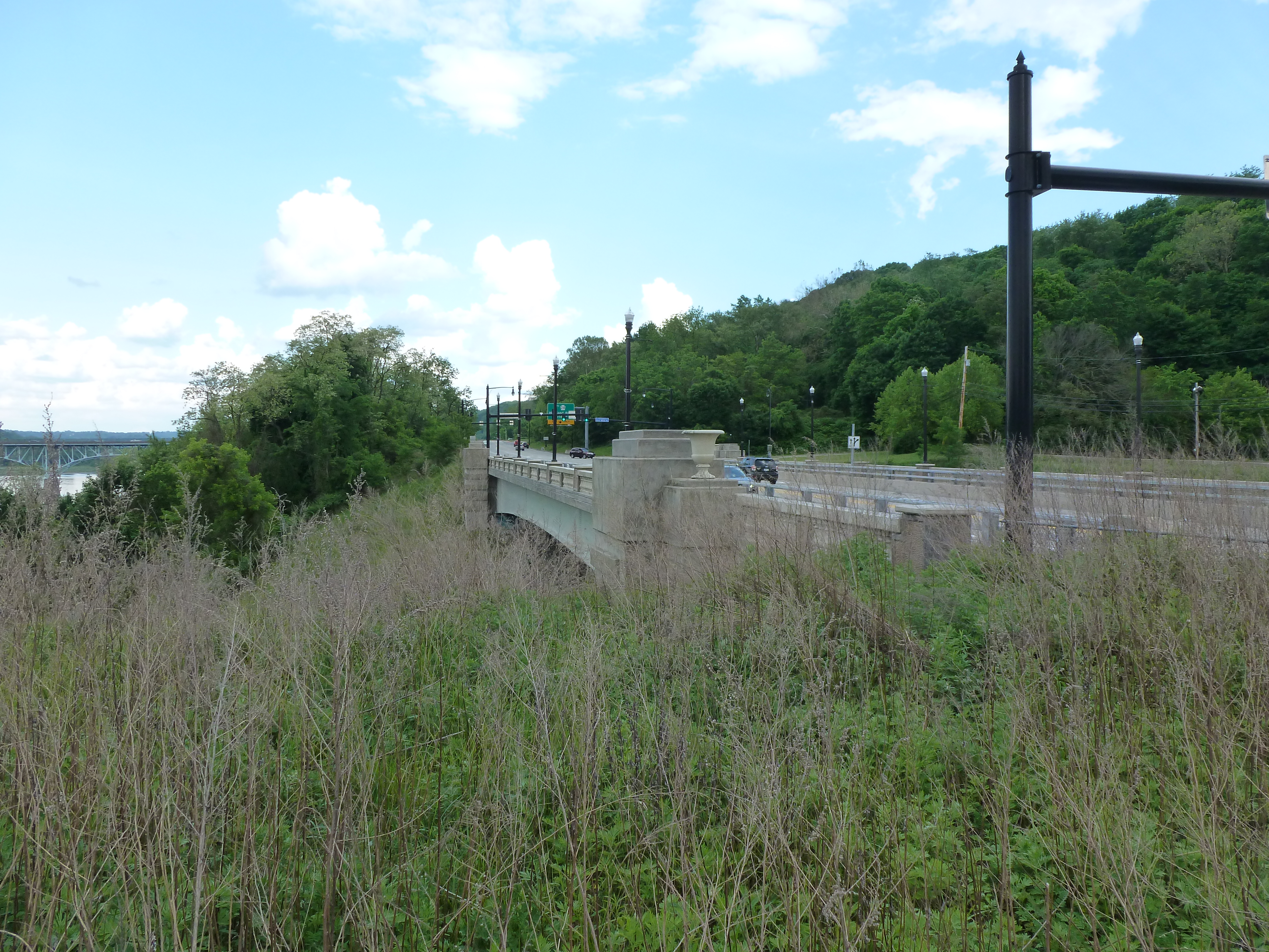
The Highland Park Bridge, built 1938 (technical information can be found here), connects Pittsburgh’s Highland Park neighborhood to Route 28, Apsinwall, Sharpesburg, and the Waterworks Mall. As a pedestrian this bridge is awkward at best. There is sidewalk only on the western, down-stream side of the bridge, with a cement divider between the sidewalk and the road with the cars passing at around 45 mph and a metal, mesh fence keeping whoever’s using the sidewalk on the bridge. The sidewalk is pretty narrow and is decorated with dirt and liter. The best pedestrian approach to the bridge from the city side of the river starts at the intersection of Baker and Butler Streets. It is a simple t-intersection with a light and a cross-walk on one side. I believe it is technically possible to cross to the river side of Butler at One Wild Place, but the intersection there is far more complicated with no visible crosswalk and I doubt drivers even consider the possibility of pedestrians crossing at this point.
Once across Butler (from the intersection at Baker), turn right and cross Heth’s Run Bridge (see June 9 post for description of sidewalk conditions, see May 31 post for more info on this bridge). As mentioned in the June 9 post on Heth’s Run Bridge, the sidewalk narrows considerably at this point and is broken and half covered in weeds and dirt. For over 500 feet from the end of this bridge to the ramp for the Highland Park bridge there is no divider between the sidewalk and the street where cars tend to travel quickly. On the ramp, the weeds go away and the cement divider starts. At the other end of the bridge, there is a small gap in the divider for pedestrians to cross one of the on ramps for the bridge. The view of on-coming traffic is often impeded by overgrown weeds/bushes. Once across this lane, the sidewalk follows another on/off ramp of the bridge around 360 degrees to meet up with Freeport Road which passes underneath the bridge. While this is the most pleasant part of the bridge as the area inside the circle is a well-maintained grassy spot, it feels a bit ridiculous as a pedestrian to walk around in such a wide circle.
I have walked this bridge several times now, in part because bus service between the East End (which includes Highland Park) and the Waterworks Mall was severely cut a few years ago. A runner once passed me and bicyclists have passed me multiple times, however I have never encountered (or observed while driving across) any other pedestrians on the Highland Park Bridge.

There a couple of sights of interest from the bridge. First is the lock. Quite serendipitously the day I brought my camera to document my crossing of the Highland Park Bridge was the only time I’ve crossed when the lock was in use. The one thing I couldn’t figure out is how they would get the first barge out of the lock when the tug boat is on the higher level water with the second barge.

This is the second sight of interest is pictured above. If there was a place in Pittsburgh that would produce a comic book superhero, it would be here. The hole in the picture above often gets filled with rainwater that stagnates and on some occasions turns an eerie, neon-like green color–the perfect toxic dump to produce superpowers. I assume this site is some sort of scrap metal processing place. A search on Google did not come up with any satisfactory responses. One day when I walked past, a magnet was lifting up pieces and dropping them down repeatedly. Whatever the site is, it is one of the reminders of Pittsburgh’s nitty-gritty industrial past.


The upstream and downstream photos present a snapshot of what this part of the city looks like. Downstream, the 62nd Street Bridge, aka R.D. Fleming Bridge, (see July 24 post) downtown Sharpsburg, Six Mile Island, and lots of trees are visible. Upstream, trees, a railroad bridge, a dock for personal boats, and the roof of one of the waterworks processing buildings are visible. Overall there is a very rural feeling six miles up the Allegheny from downtown.